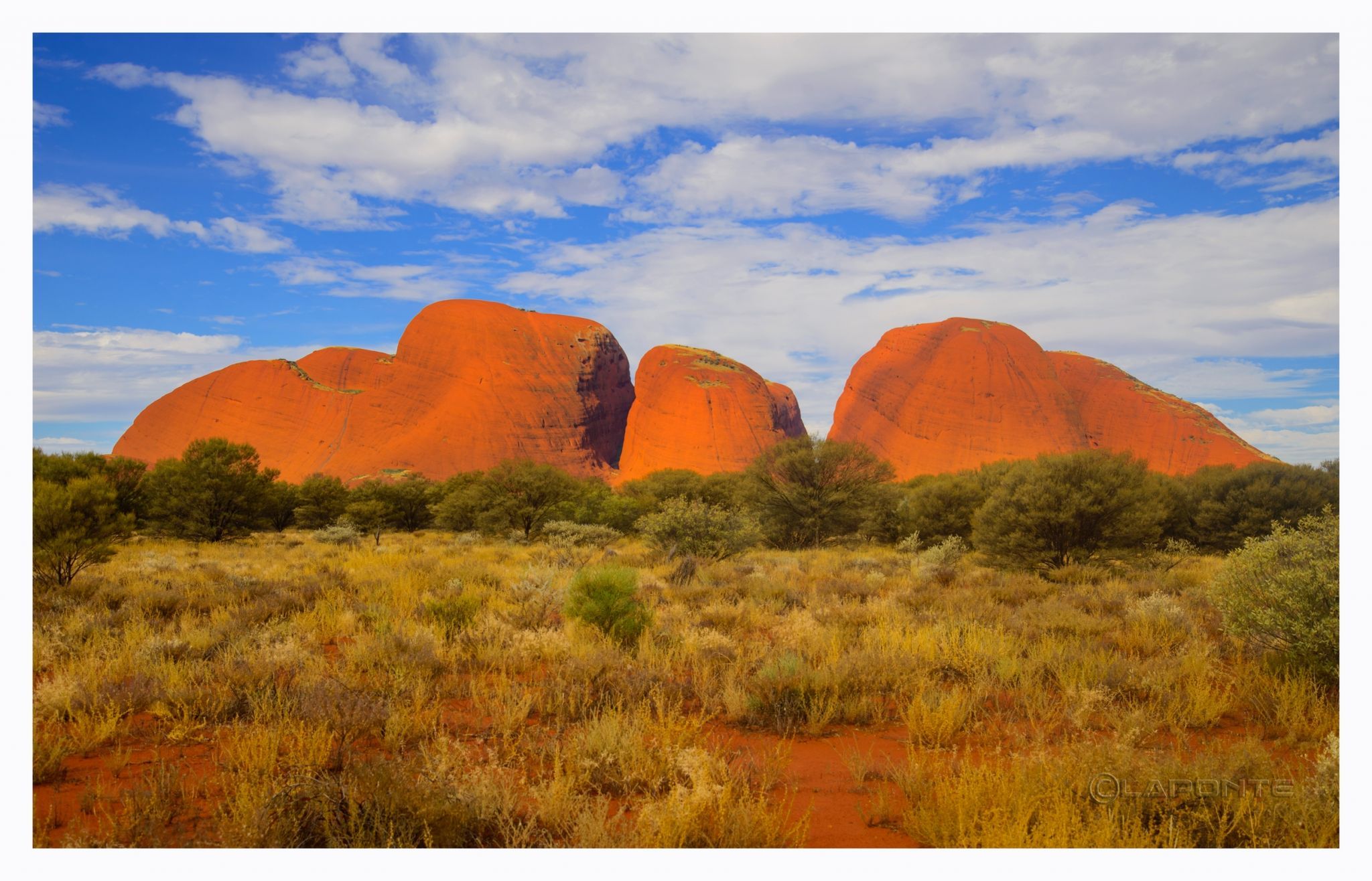
Australia Kata Tjuta (aka The Olgas) - Northern Territory, Australia
Kata Tjuta, also known as the Olgas, is a group of large, domed rock formations or bornhardts located about 365 km (227 mi) southwest of Alice Springs, in the southern part of the Northern Territory, central Australia. The park is considered sacred to the Aboriginal people of Australia.
The 36 domes that make up Kata Tjuta, Mount Olga cover an area of 21.68 km2 (8.37 sq mi), are composed of conglomerate, a sedimentary rock consisting of cobbles and boulders of varying rock types including granite and basalt, cemented by a matrix of sandstone.
The highest dome, Mount Olga, is 1,066 m (3,497 ft) above sea level, or approximately 546 m (1,791 ft) above the surrounding plain (198 m (650 ft) higher than Uluru).
Photography Tips
Wide angle lenses are a must and a hat with a fly net if you want to survive the flies.
Travel Information
You can Fly to Alice Springs from most of the Australian main cities, rent a car or take bus to the National park.
Road trip is another option, however it could be a long one since the park is located in the centre of the country.
Road trip is another option, however it could be a long one since the park is located in the centre of the country.
Spot Type
Outdoor
Crowd Factor
Just a few people
Best Timing
All timings are equally good
Sunrise & Sunset
07:01 - 18:32
| current local time: 19:13
Photo Themes
Central Australia
rock formation
Sacred Place
Locations
Northern Territory


Spot Comments (0)