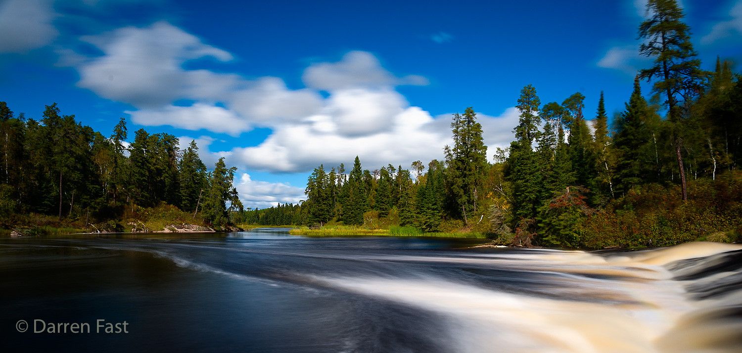

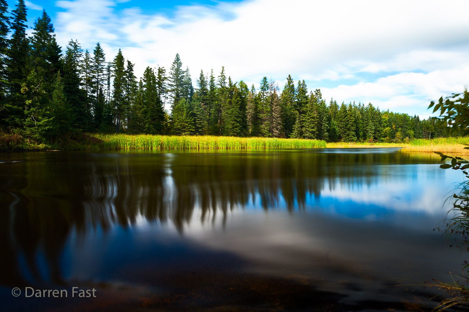
Canada Pine Point Rapids Trail
Beautiful trail through the Canadian Shield. There is a picnic site at Pine Point Rapids and a further loop of about 2.8km that takes you to Acorn and Viburnum Falls. The loop to Pine Point Rapids has an easy section (used as a cross country ski trail in winter) and a harder, much more interesting section. I'd suggest taking the harder section on the way to the falls and the easy route back to the car.
Photography Tips
Bring good hiking boots, a tripod, ND filter and be prepared for any type of weather. Also bring snacks and water.
Travel Information
About 90 min from Winnipeg. There is ample parking at the trailhead. The first set of falls is about 2.4 km from the parking lot.
Spot Type
Outdoor
Crowd Factor
Nearly no other people
Best Timing
Daytime in fall
Sunrise & Sunset
06:19 - 20:23
| current local time: 20:01
Photo Themes
Hiking
nature
rapids
Waterfall
Locations
Manitoba
Whiteshell
Spot Comments (0)