Deserto de Viana, Cape Verde
Der Landgraph
Der Landgraph www.derlandgraph.de
Deserto de Viana, Cape Verde
Der Landgraph
Der Landgraph www.derlandgraph.de
This photo is copyrighted by the author.
Thank you for respecting the rights and efforts of our photographers. Please contact the author for further information.

Cape Verde Deserto de Viana

  • Please log in or sign up for free to see the GPS coordinates & weather for this photo spot
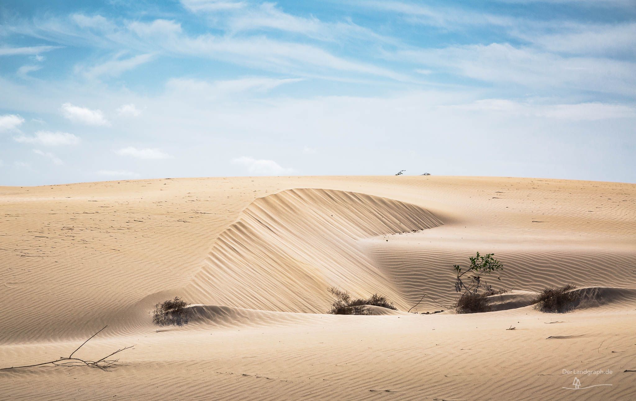
The Deserto de Viana is a sandy desert in the northwest of the island of Boa Vista, Cape Verde. It lies between the towns of Rabil and Sal Rei.
Spot Type Outdoor
Crowd Factor Just a few people
Best Timing All timings are equally good
Sunrise & Sunset 06:11 - 18:48 | current local time: 04:03
Photo Themes desert Landscape Landschaft Wüstenlandschaft

Get the exact geo-position for this spot

Log in to see the GPS coordinates, sun directions, and the map for this photo spot. Or simply bookmark it along with other spots to plan your next trip.

Spot Comments (0)

Please log in or sign up for free to leave a comment or ask a question.

Ratings (1) starstarstarstarstar

starstarstarstarstar
1
starstarstarstarstar
0
starstarstarstarstar
0
starstarstarstarstar
0
starstarstarstarstar
0

Popular photo spots in this region

Thank you Der Landgraph for creating this photo spot in Cape Verde.
Imprint & Contact © Locationscout 2025 Privacy / Terms