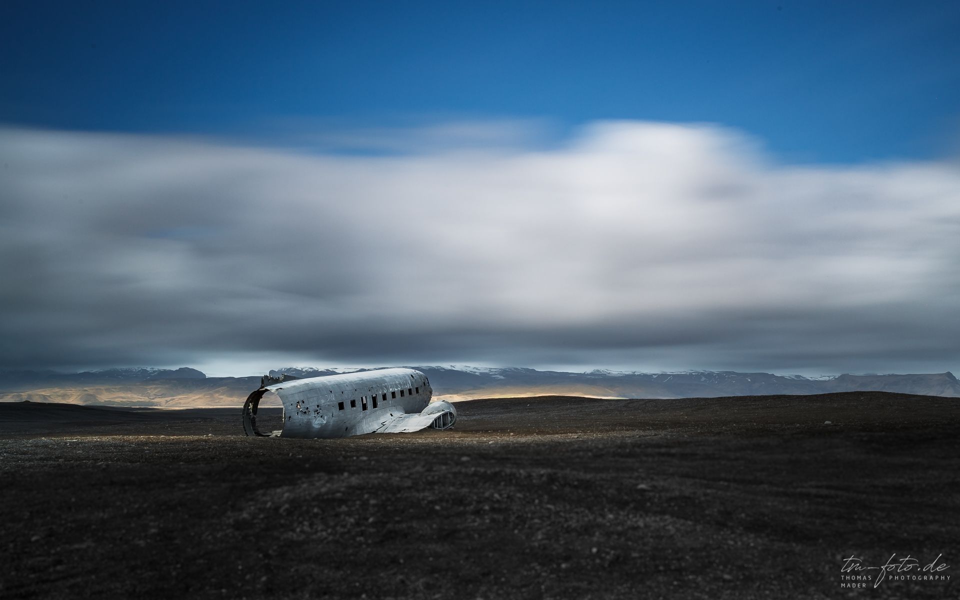
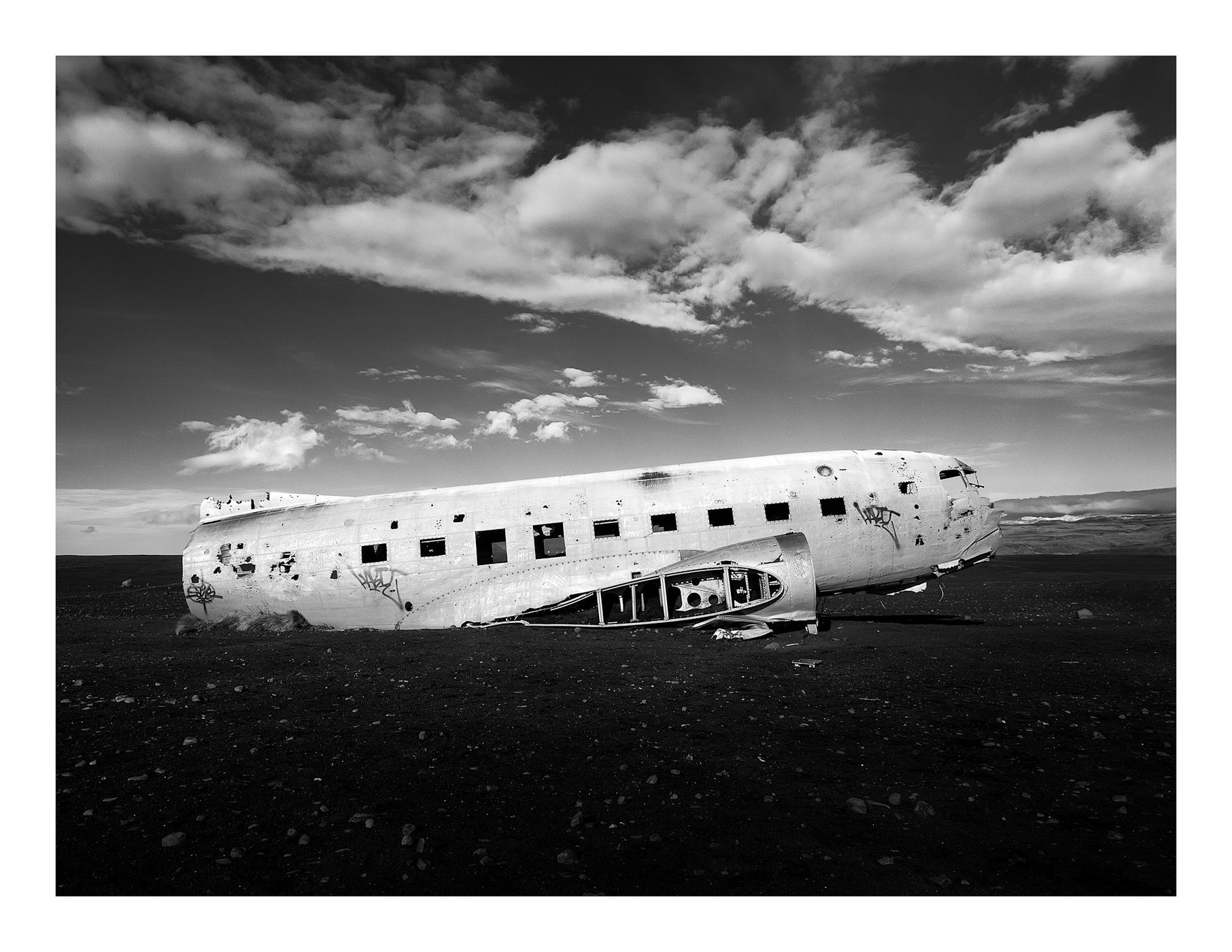
Iceland DC-3 Wreck site, Sólheimasandur
In 1973 a United States Navy DC plane ran out of fuel and crashed on the black beach at Sólheimasandur, south coast of Iceland. Everyone in that plane survived though. Later it turned out that the pilot had simply switched over to the wrong fuel tank. The remains are still on the sand very close to the sea.
Photography Tips
bring graduated ND filters if you have them. the black sand and bright sky can prove challenging to get a good exposure.
It can be very windy at the site due to the flat featureless landscape, so long exposure may be difficult, and watch out for sand being whipped up into your face and your equipment by the wind.
It can be very windy at the site due to the flat featureless landscape, so long exposure may be difficult, and watch out for sand being whipped up into your face and your equipment by the wind.
Travel Information
1) Head east along Route 1 (The main road that circles Iceland) towards the town of Vik.
2) Drive past Seljalandsfoss, Eyjafjallajökull Erupts Museum, and Skogarfoss.
3) Around 6km from Skogarfoss you will drive across a bridge that crosses quite a substantial river called Jokulsa which is fed from the Sólheimarjökull glacier.
Once across you will see a left-hand turn signposted for Sólheimarjökull. This is how you know that this is the bridge we are talking about.
4) Carry along Route 1 towards Vik but keep an eye out on the right side of the road as you will see a farmer's field that is fenced off.
5) As you drive along this road it will very gradually go uphill and then downhill again. Keep watching the fence because you will eventually come across an obvious entrance that has a cattle grid. You need to turn right here. This entrance is about 2km from the bridge crossing.
You will know this is the right road as the dirt track bends to the right at the entrance and it is the only opening in the fence you will come across. If you cross another river or see a left-hand turn then you have missed the farmer's track.
6) It is no longer possible to drive directly down to the plane as the landowners have closed the road due to vandalism, so you must park at the entrance and walk about 45 minutes to the plane each way.
Spot Type
Outdoor
Crowd Factor
A decent amount of people
Best Timing
All timings are equally good
Sunrise & Sunset
03:09 - 23:34
| current local time: 03:55
Photo Themes
Beach
crash
dc-3
Nature
Plane
Locations
Sólheimasandur


Spot Comments (13)