Devil's Chimney Trail, Ireland
licensable
Devil's Chimney Trail, Ireland
licensable
This photo is copyrighted by the author.
Thank you for respecting the rights and efforts of our photographers. Please contact the author for further information.

Ireland Devil's Chimney Trail

  • Please log in or sign up for free to see the GPS coordinates & weather for this photo spot
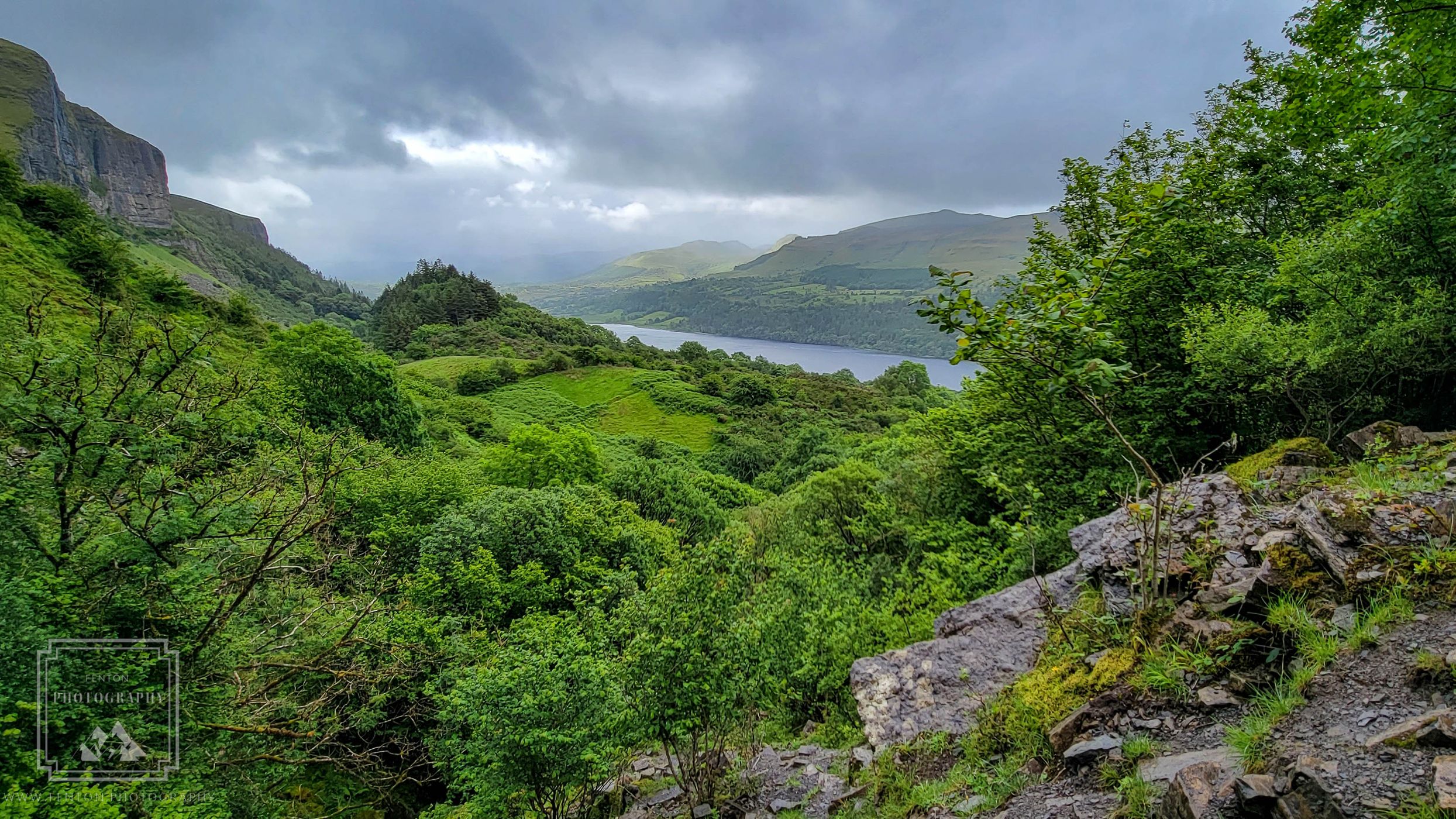
The Devil's Chimney, also known as Sruth in Aghaidh an Aird, is Ireland's tallest waterfall at 492 feet (150 meters). It's located in the Dartry Mountains in west Ireland, on the border of County Sligo and County Leitrim. The 2.4-kilometer out-and-back trail to the waterfall is popular for walking, with an average time of 56 minutes to complete. The trail is generally considered moderately challenging

Travel Information

There is some parking near the trailhead. The hike is moderately challenging in the rain.
Spot Type Outdoor
Crowd Factor Nearly no other people
Best Timing All timings are equally good
Sunrise & Sunset 05:58 - 21:03 | current local time: 17:16
Photo Themes Landscape nature Storm clouds

Get the exact geo-position for this spot

Log in to see the GPS coordinates, sun directions, and the map for this photo spot. Or simply bookmark it along with other spots to plan your next trip.

Spot Comments (0)

Please log in or sign up for free to leave a comment or ask a question.

Ratings (1) starstarstarstarstar

starstarstarstarstar
0
starstarstarstarstar
1
starstarstarstarstar
0
starstarstarstarstar
0
starstarstarstarstar
0

Popular photo spots in this region

Thank you FentonPhotography for creating this photo spot in Ireland.
Imprint & Contact © Locationscout 2024 Privacy / Terms