119 photos in 52 spots
- Show
- all photos
- only best photo/spot
- Order by
- Popularity
- Newest
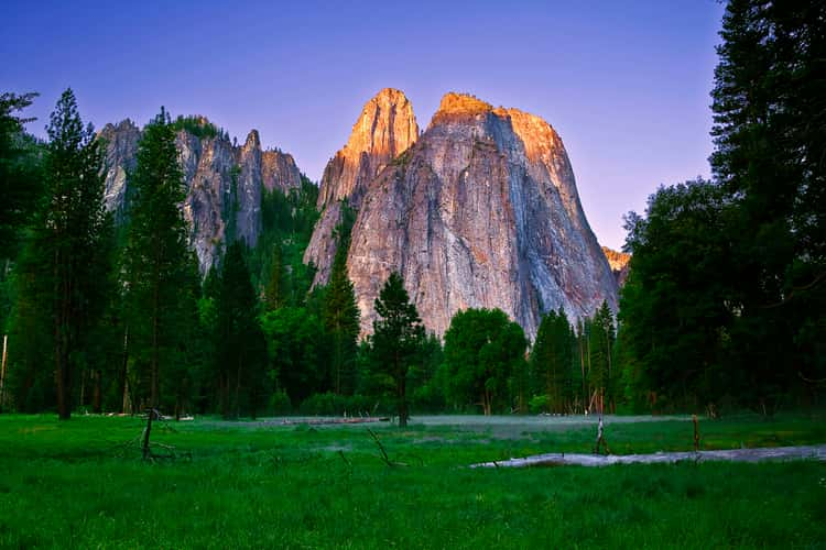
Cathedral beach
18.21 km to location
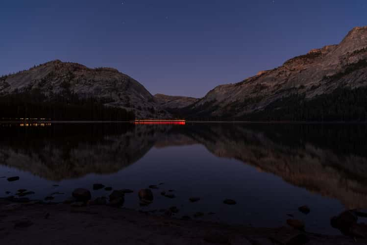
Tenaya Lake
0 km to location
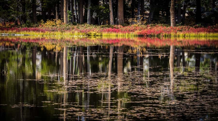
Tioga road
3.93 km to location
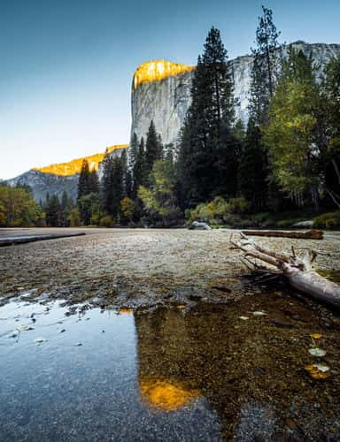
Yosemite National Park, El Capitan
18.45 km to location
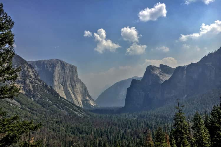
Tunnel View, Yosemite National Park, California
22.34 km to location
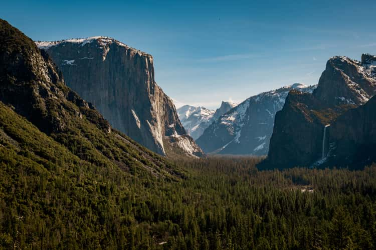
Tunnel View, Yosemite National Park, California
22.34 km to location
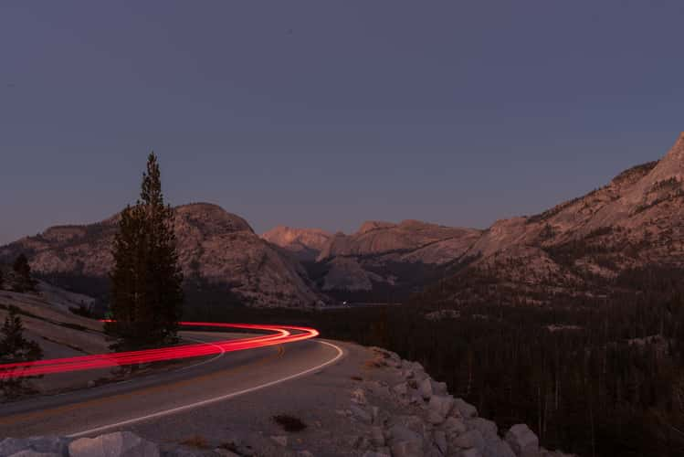
Olmsted Point
2.57 km to location
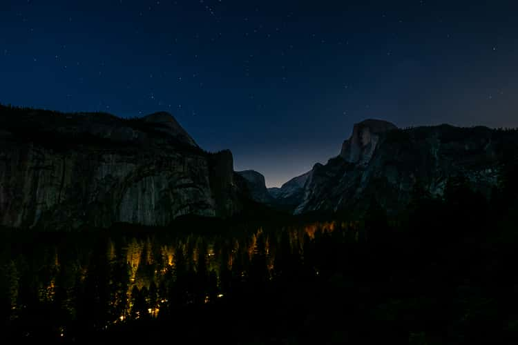
Yosemite Valley view - nearly unknown location
14.08 km to location
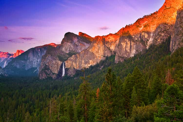
Tunnel View, Yosemite National Park, California
22.34 km to location
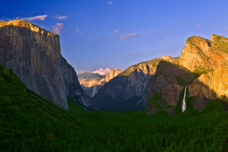
Tunnel View, Yosemite National Park, California
22.34 km to location
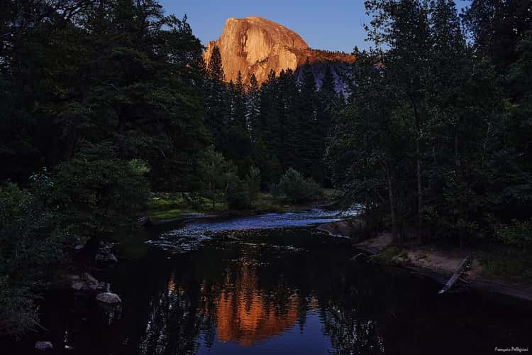
View of Half Dome
14.4 km to location
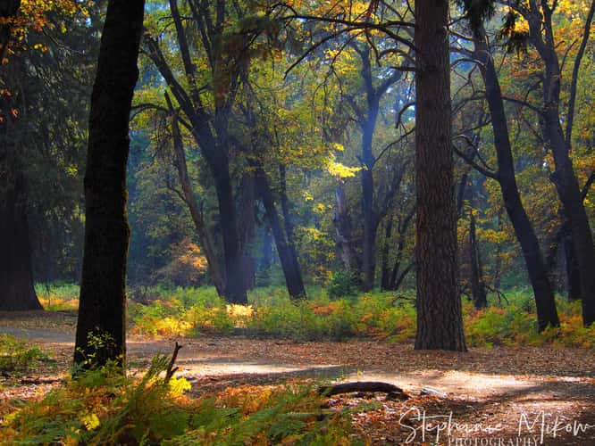
Large Oak in Yosemite
14.4 km to location
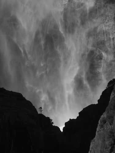
Path to Lower Yosemite Fall
14.54 km to location
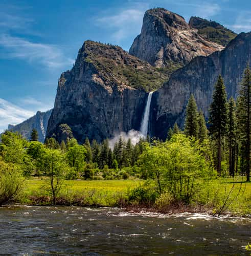
Valley View
21.15 km to location

Tunnel View, Yosemite National Park, California
22.34 km to location
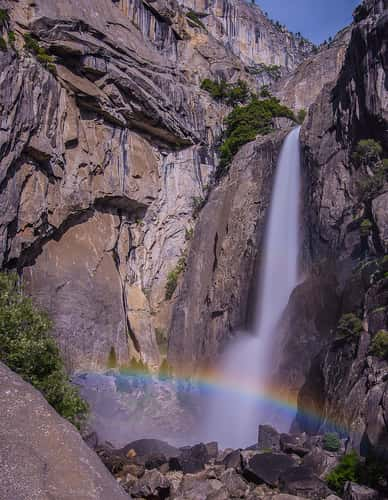
Yosemite Falls
14.48 km to location
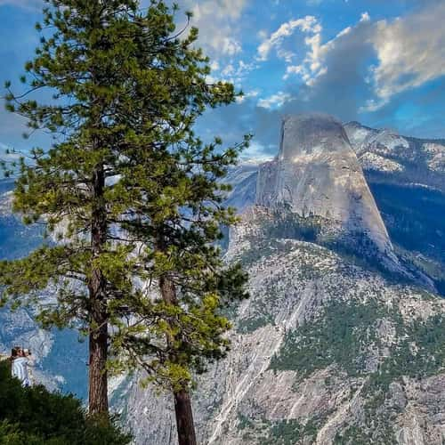
Washburn Point
15.26 km to location
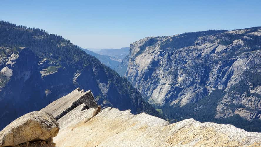
Diving Board Yosemite National Park
11.62 km to location
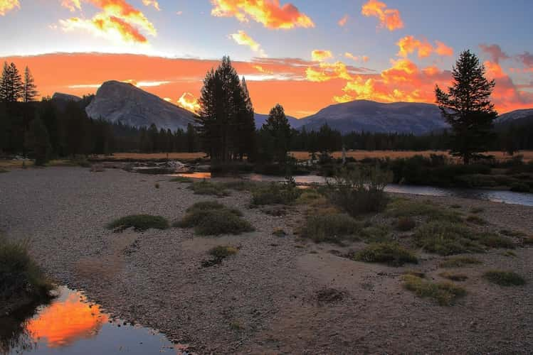
Sunrise by the Tuolumne River
10.47 km to location
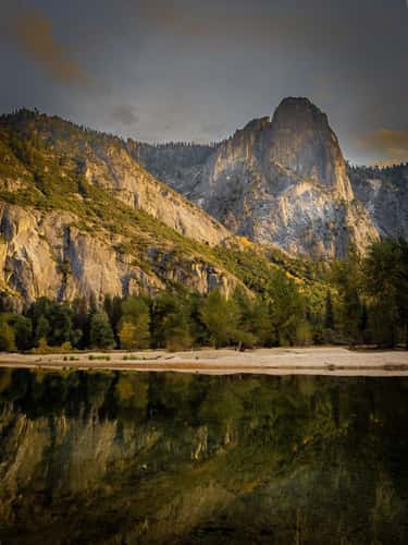
Merced river
14.87 km to location
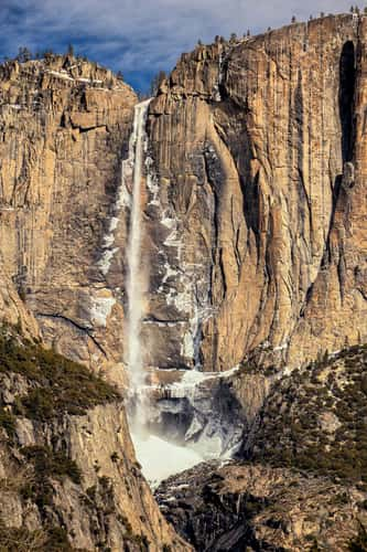
Yosemite Fall view
14.88 km to location
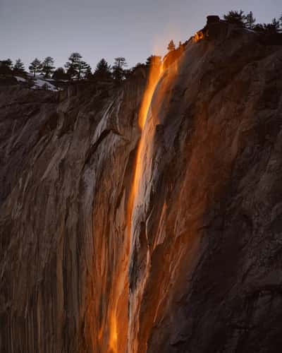
Firefalls horse tail falls, Yosemite
17.77 km to location
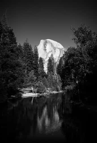
Sentinel Bridge
14.37 km to location

Tunnel View, Yosemite National Park, California
22.34 km to location
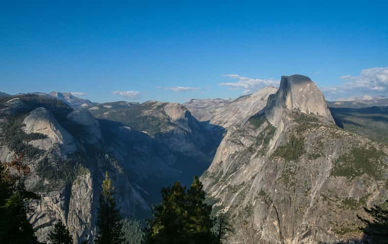
Glacier Point - Yosemite National Park
14.39 km to location
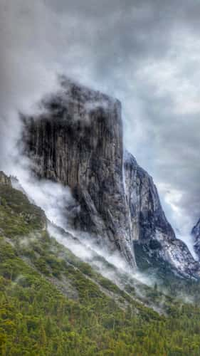
Tunnel View, Yosemite National Park, California
22.34 km to location
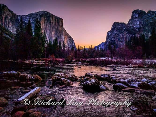
Valley View
21.15 km to location
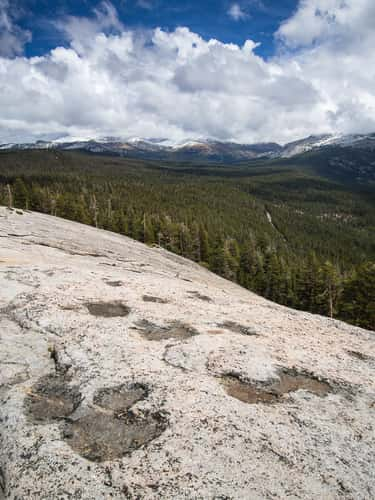
Mt. Dana from Lembert Dome
12.05 km to location
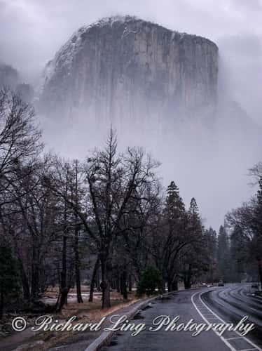
Yosemite National Park
19.63 km to location
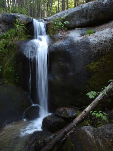
Little Nellie Falls
30.24 km to location
