353 photos in 238 spots
- Show
- all photos
- only best photo/spot
- Order by
- Popularity
- Newest
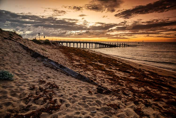
Bundegi Beach log , Exmouth, Western Australia
1138.73 km to location
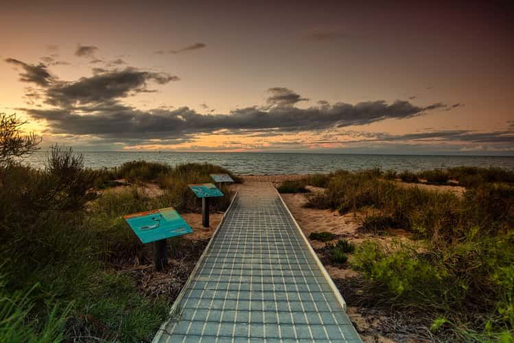
Path to sunset Monkey Mia, Western Australia
716.66 km to location
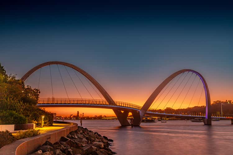
Elizabeth Quay Bridge
3.27 km to location
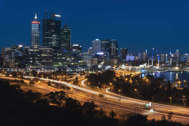
City at night Perth, Western Australia
2.24 km to location
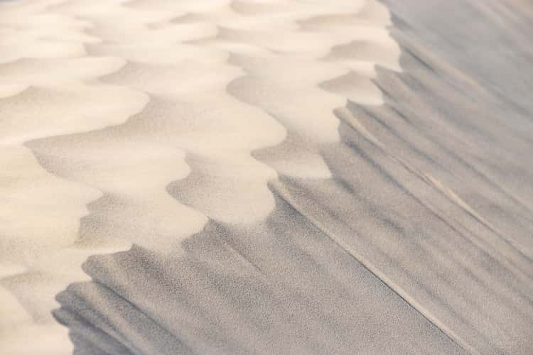
Sand dunes near Grey
161.17 km to location
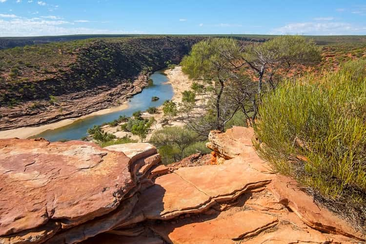
Kalbarri National Park, Murchison River
508.77 km to location
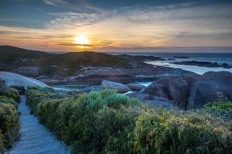
Elephant Rocks Sunrise Denmark Western Australia
363.46 km to location
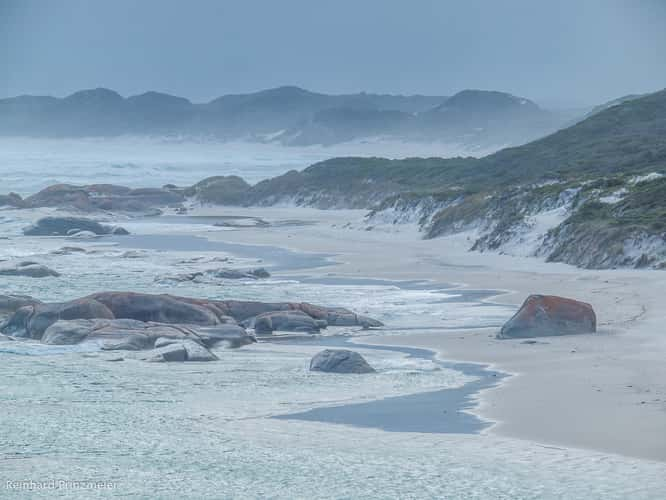
Rock, Greens Pool, Denmark, Western Australia
363.26 km to location
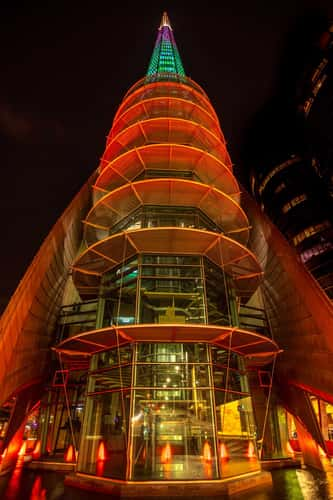
The Bell Tower at night Perth, Western Australia
3.39 km to location
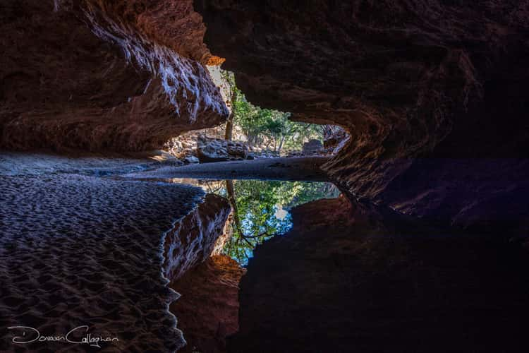
The Tunnel National Park, Kimberley Western Australia
1850.14 km to location
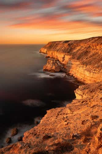
Kalbarri Castle Cove
489.37 km to location
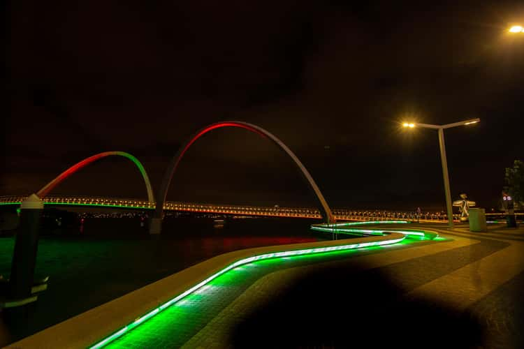
Elizabeth Quay Bridge lights, Perth, Westerne Australia
3.21 km to location
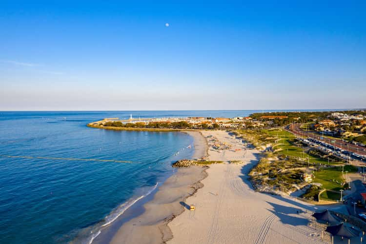
Hillary's Beach Drone shot Perth
17.6 km to location
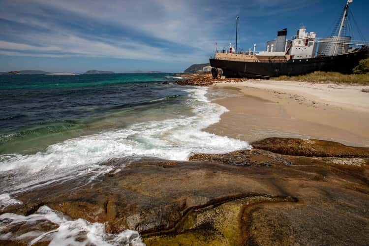
Whaling boat Cheynes IV along the beach, Frenchmans Bay
399.18 km to location
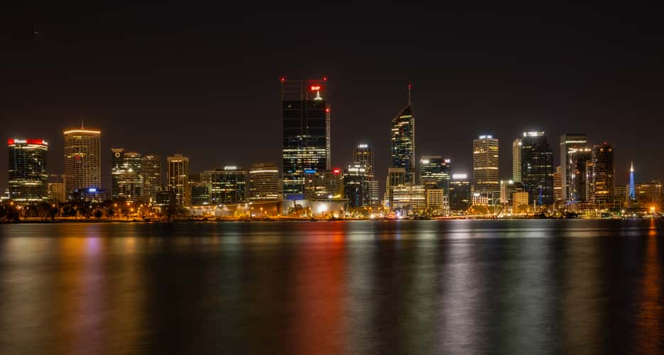
Perth city skyline
2.37 km to location
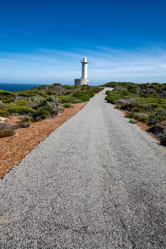
Walk to the Light House Torndirrup Western Australia
398.86 km to location
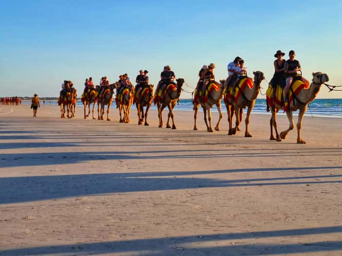
Camels Cable Beach Broome, Western Australia
1687.68 km to location
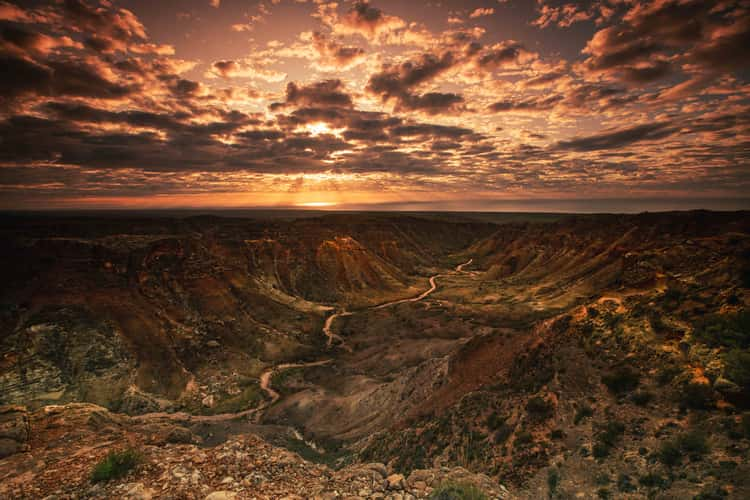
Charles Knife Canyon, sunrise Exmouth
1110.48 km to location
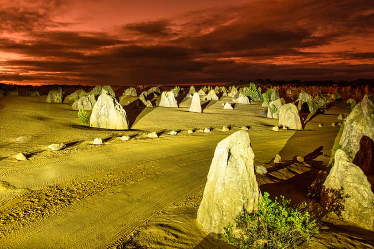
The Pinnacles sunset, Cervantes, Western Australia
166.19 km to location
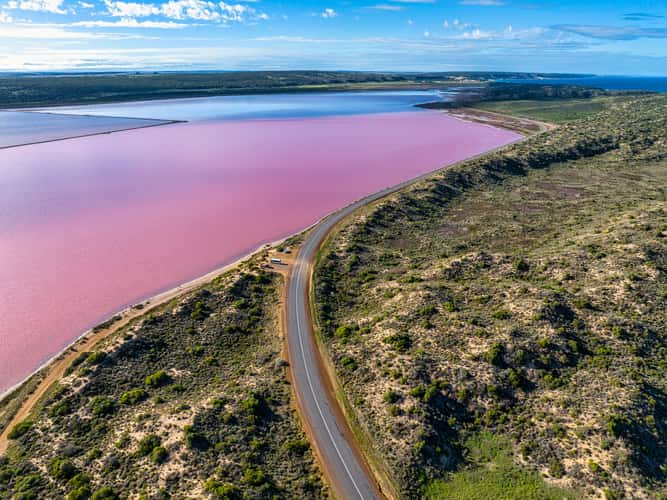
Hutt Lagoon Pink Lake, Port Gregory, Western Australia
447.27 km to location
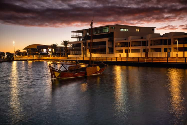
Old Boat sunrise Geralton, Western Australia
374.74 km to location
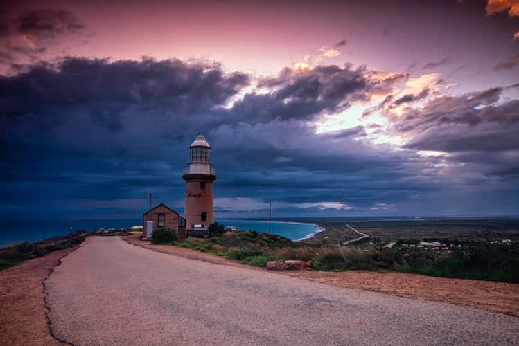
Vlamingh Head Lighthouse, Exmouth, Western Australia
1142.21 km to location
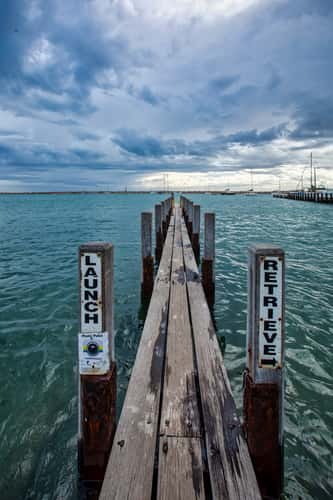
Boat Launch tie up jetty, Port Denison, Western Australia
312.12 km to location
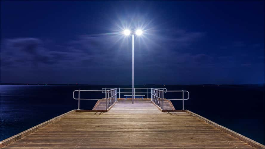
Port Lincoln Jetty
1881.16 km to location
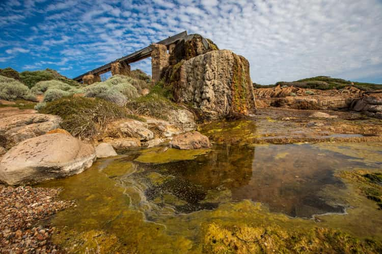
Cape Leeuwin Water Wheel, Western Australia
272.59 km to location
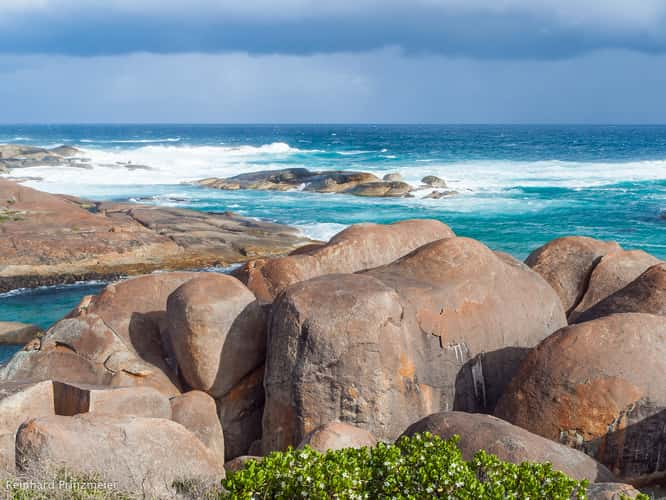
Elephant Rocks, William Bay National Park
363.41 km to location
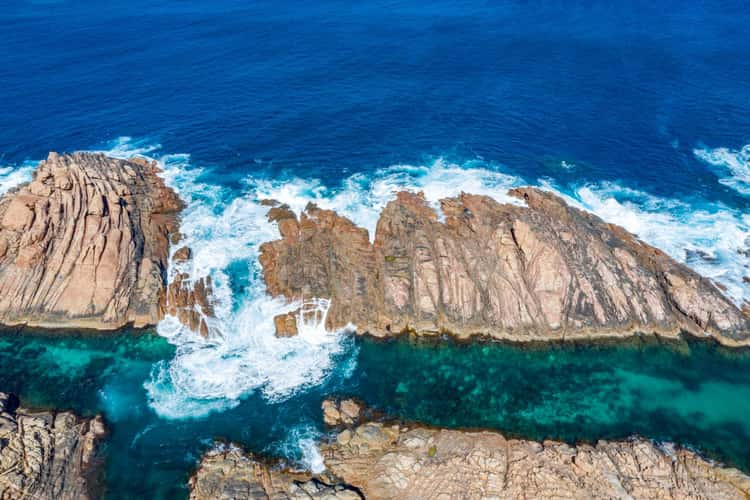
Canal Rocks, Yallingup, Western Australia
203.84 km to location
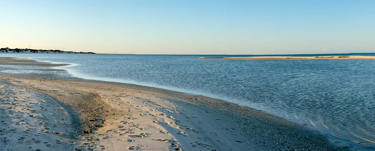
Shark Bay, Monkey Mia
716.55 km to location
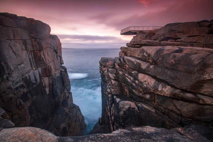
The Gap sunrise lookout Torndirrup, Western Australia
398.42 km to location
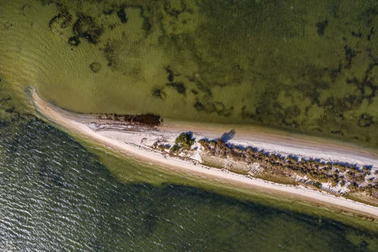
Point Walter sand bar, Dyoondalup, Perth Western Australia
5.7 km to location
