530 photos in 230 spots
- Show
- all photos
- only best photo/spot
- Order by
- Popularity
- Newest
Schooner Ancud Crew Monument
1344.46 km to location
Schooner Ancud Crew Monument
1344.46 km to location
Schooner Ancud Crew Monument
1344.46 km to location
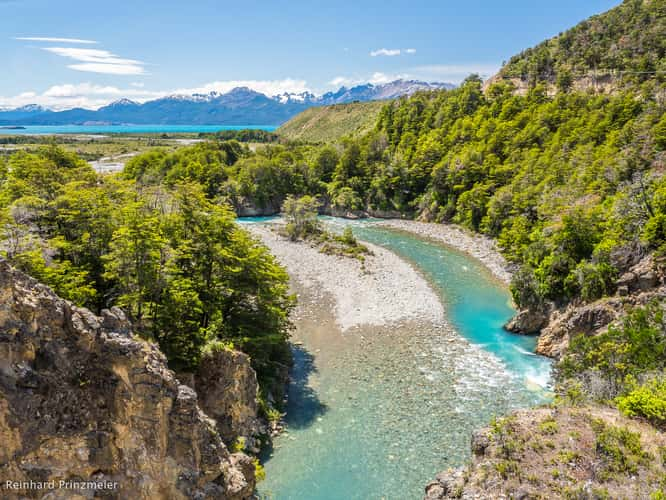
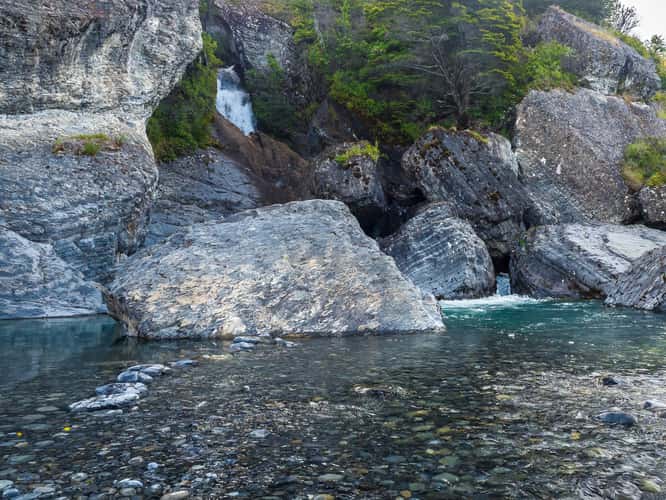
Rio los Maitenes Delta
635.45 km to location

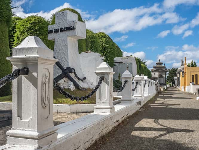
Punta Arenas Municipal Cemetery
1343.24 km to location
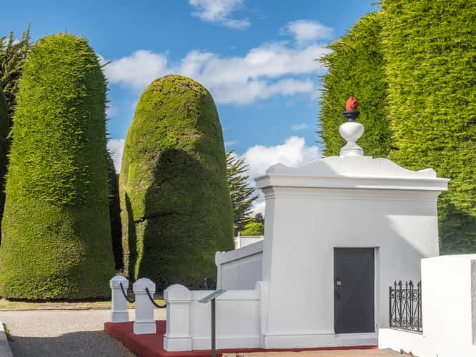
Punta Arenas Municipal Cemetery
1343.24 km to location
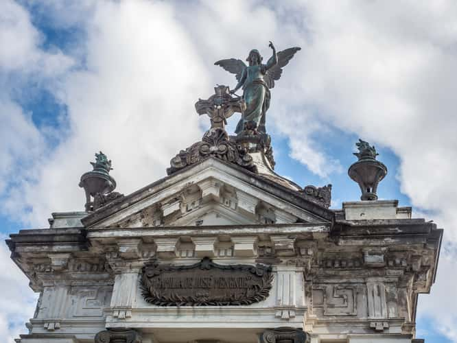
Punta Arenas Municipal Cemetery
1343.24 km to location
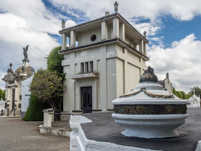
Punta Arenas Municipal Cemetery
1343.24 km to location
Punta Arenas Municipal Cemetery
1343.24 km to location

Colourful Hills near Naunauco
395.52 km to location

Colourful Hills near Naunauco
395.52 km to location

Colourful Hills near Naunauco
395.52 km to location
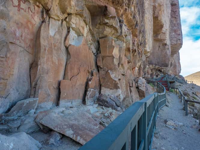
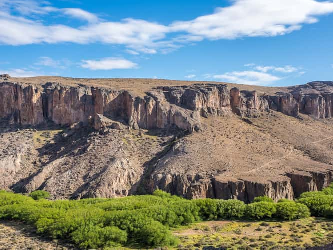
cueva de las manos
679.48 km to location
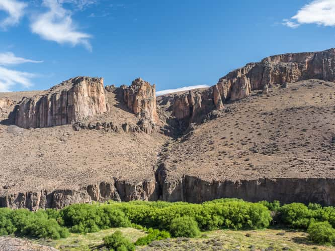
cueva de las manos
679.48 km to location
cueva de las manos
679.48 km to location

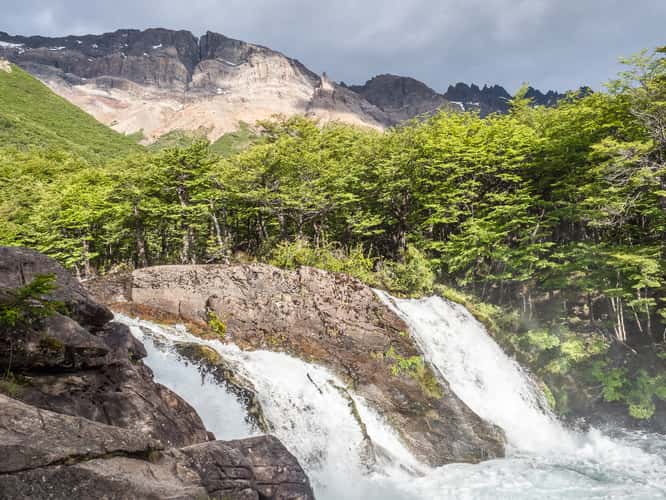
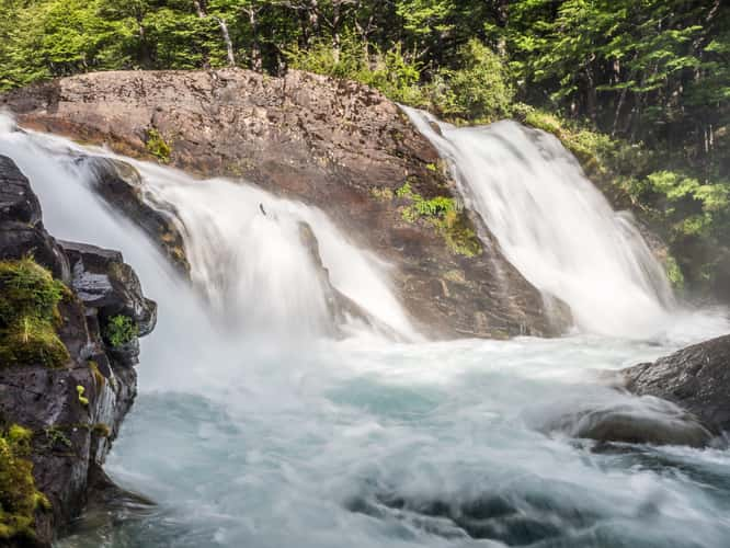
Salto Las Cascadas
89.65 km to location
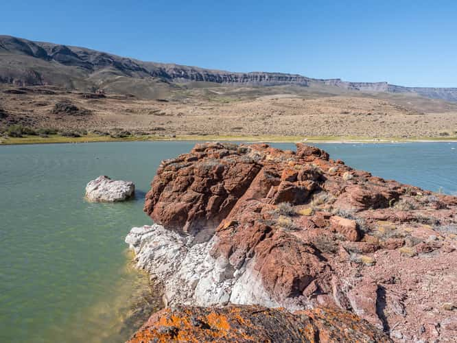
Lake at Ruta Provincial 41 Santa Cruz
680.88 km to location
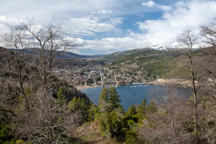
Mirador Bandurrias
101.61 km to location
Mirador Bandurrias
101.61 km to location
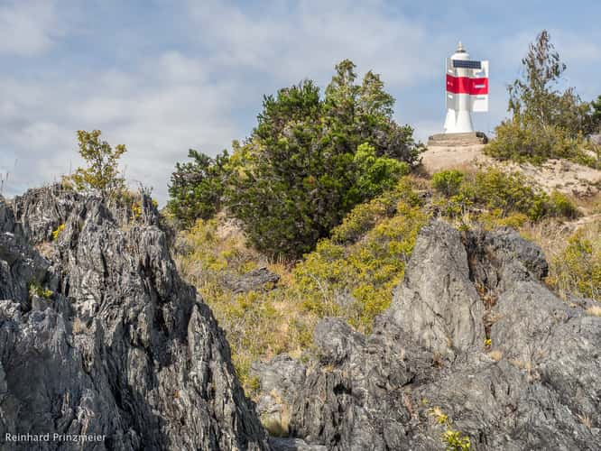
El Espigón
712.49 km to location
El Espigón
712.49 km to location
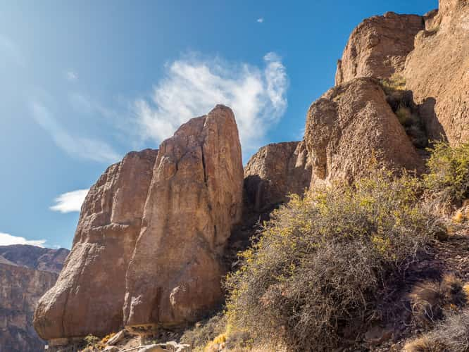
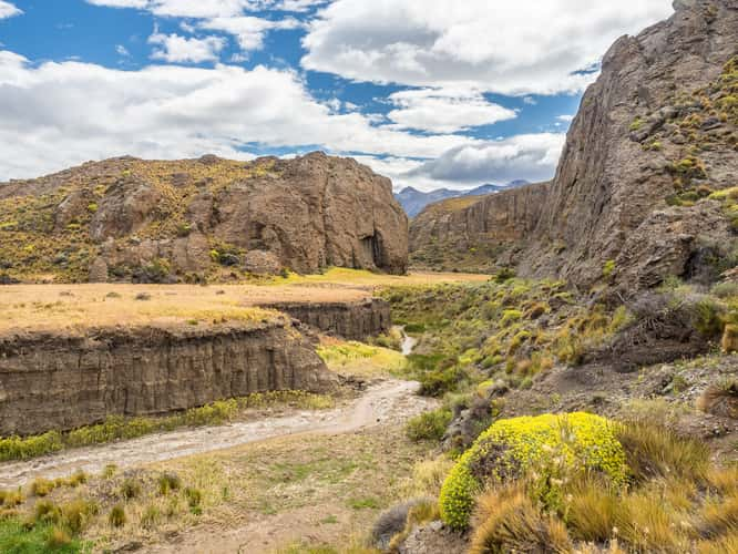
Rio pinturas
679.19 km to location
Rio pinturas
679.19 km to location
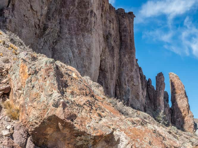
North of Paso Roballos
675.93 km to location

Rio Paine River Bends, Torres del Paine
1102.8 km to location
Cascada cañadon de los Toros
898.67 km to location
Cascada cañadon de los Toros
898.67 km to location
Puerto Guadal Viewpoint
647.8 km to location

Mirador Río Ibáñez
565.58 km to location
Waterfall near Puente Ventisquero
1152.84 km to location