100 photos in 49 spots
- Show
- all photos
- only best photo/spot
- Order by
- Popularity
- Newest
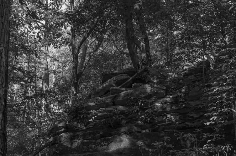
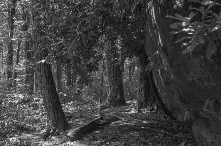
Beartown Rocks
251.49 km to location
Beartown Rocks
251.49 km to location
Beartown Rocks
251.49 km to location
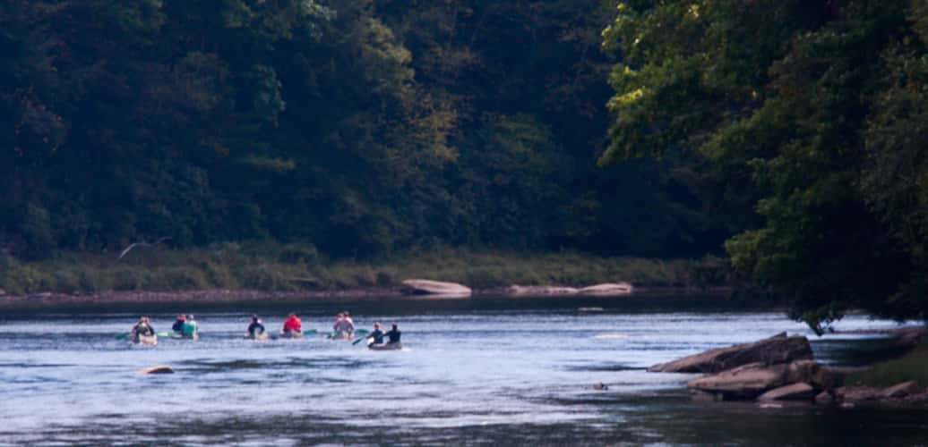
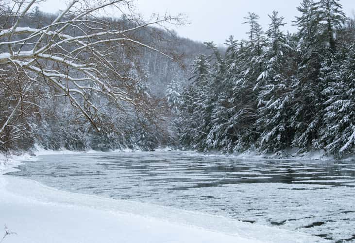
Clarion River near Toby Creek Boat Launch
274.89 km to location
Clarion River near Toby Creek Boat Launch
274.89 km to location
Clarion River near Toby Creek Boat Launch
274.89 km to location
Clarion River near Toby Creek Boat Launch
274.89 km to location
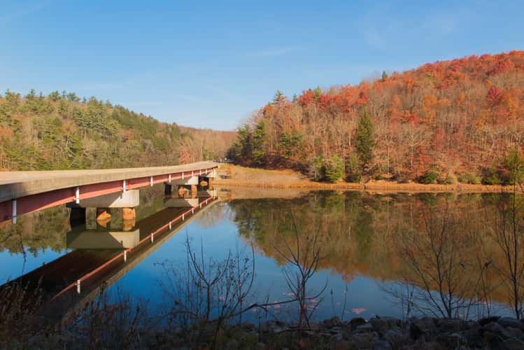
Clarion River at Canoe Ripple Road Bridge
285.01 km to location
Clarion River near Coleman Run Rd
261.47 km to location
Clarion River near Coleman Run Rd
261.47 km to location
Clarion River near Coleman Run Rd
261.47 km to location
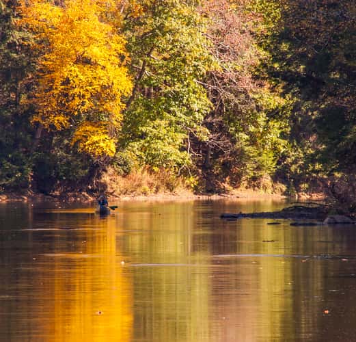
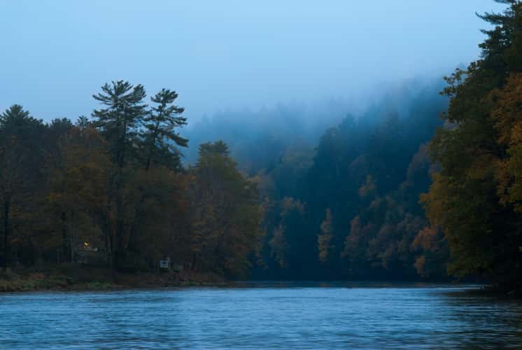
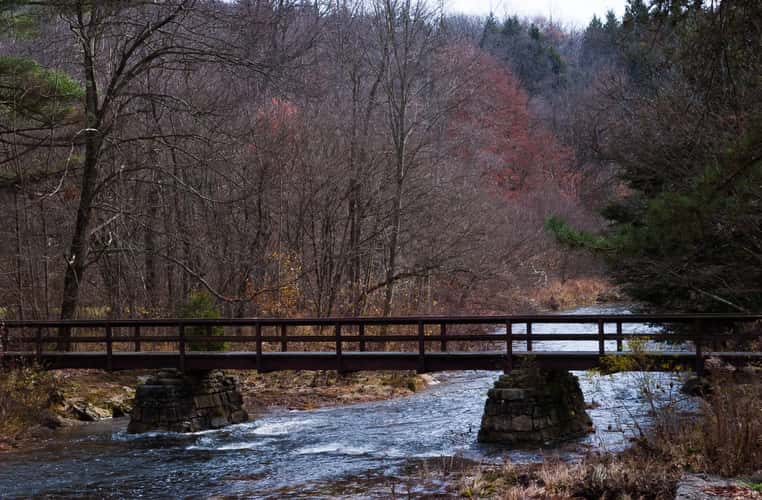
Bending Tree over the Clarion River
262.65 km to location
Bending Tree over the Clarion River
262.65 km to location
Clarion River at Canoe Ripple Road Bridge
285.01 km to location
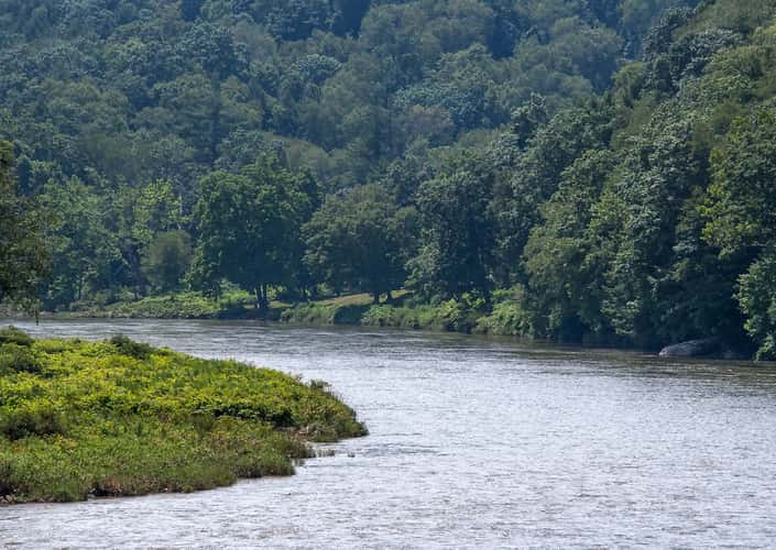
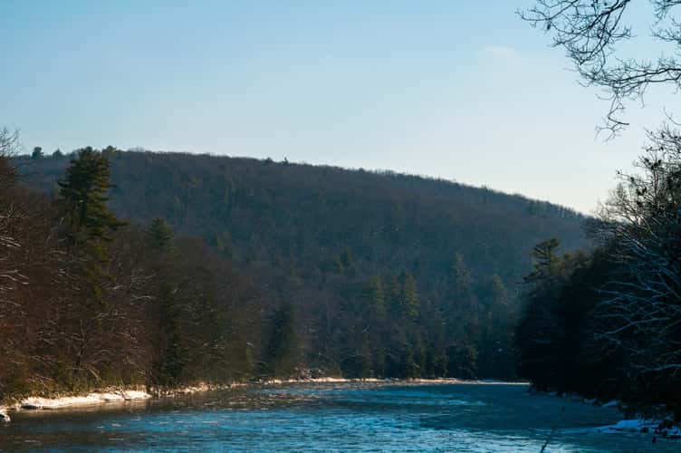
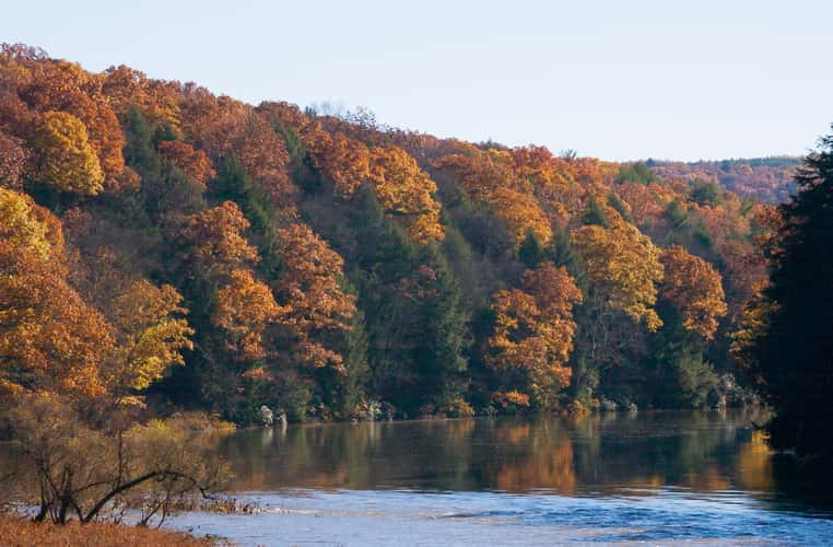
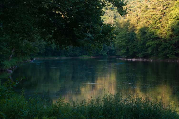
View Up-River from Cooksburg
264.14 km to location
View Up-River from Cooksburg
264.14 km to location
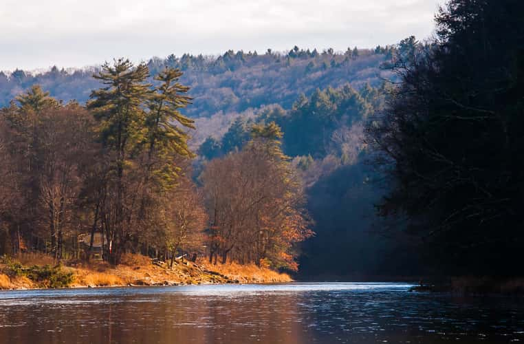
View Up-River from Cooksburg
264.14 km to location
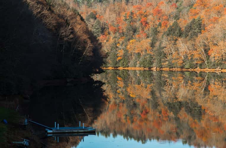
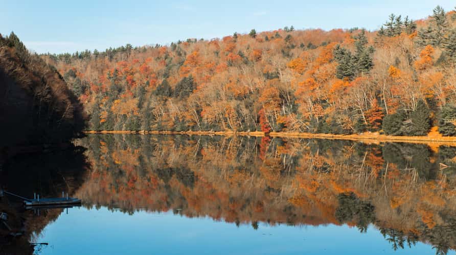
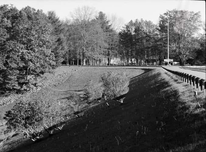
Loleta Dam
257.04 km to location
Loleta Dam
257.04 km to location
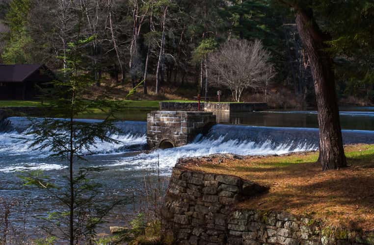
Loleta Dam
257.04 km to location
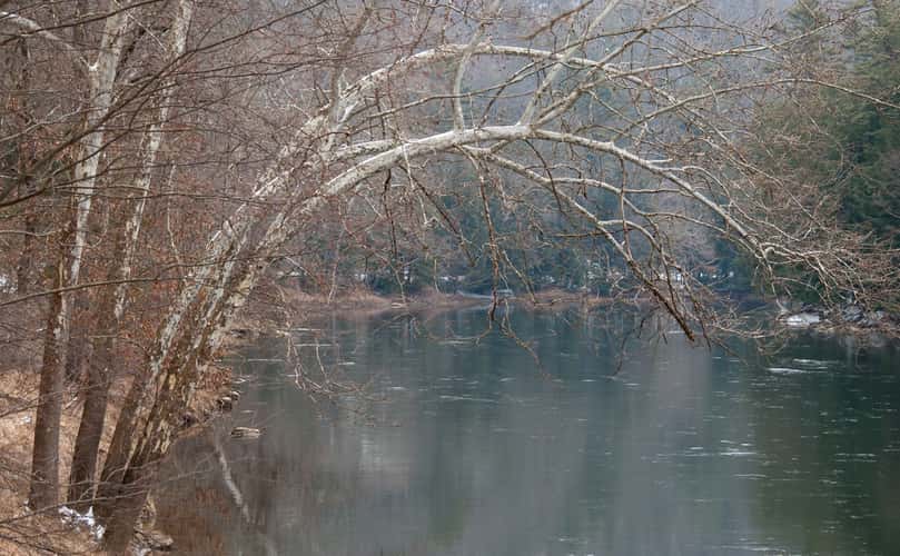
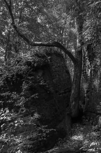
Bending Tree over the Clarion River
262.65 km to location
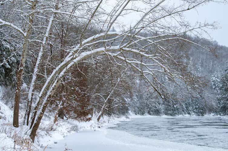
Bending Tree over the Clarion River
262.65 km to location
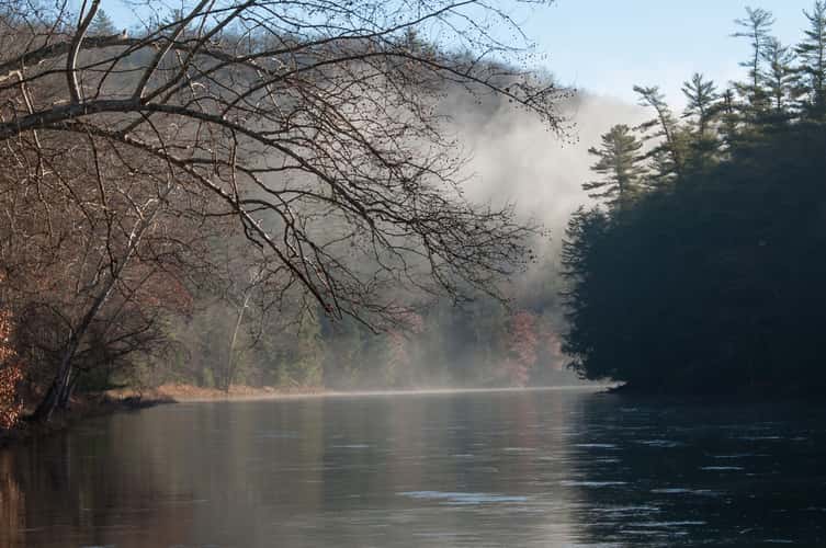
Bending Tree over the Clarion River
262.65 km to location
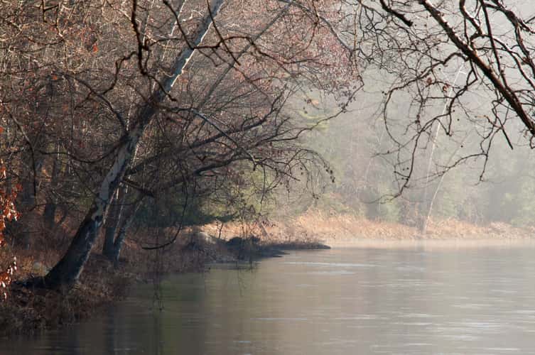
Bending Tree over the Clarion River
262.65 km to location

Bending Tree over the Clarion River
262.65 km to location
Bending Tree over the Clarion River
262.65 km to location
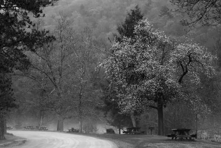
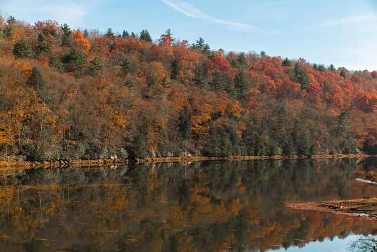
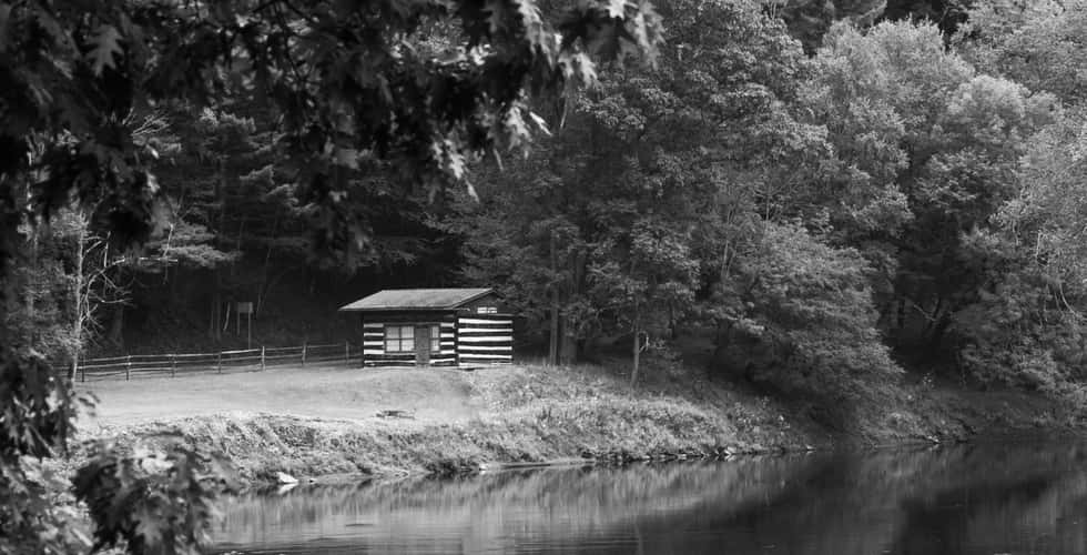
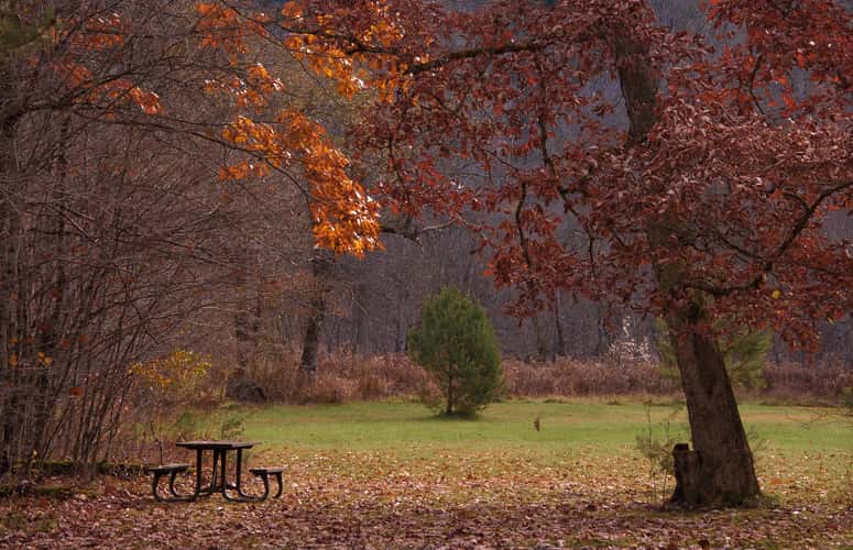
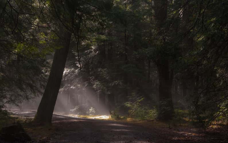
Picnic Area in Cook Forest
262.58 km to location
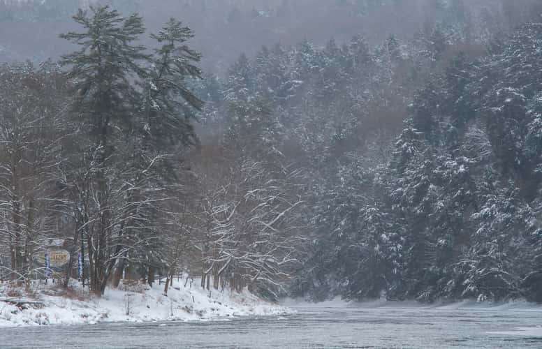
Tionesta Dam Entrance
288.41 km to location
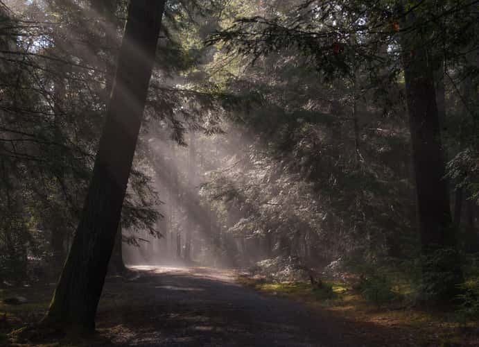
Fire Tower Road
265.36 km to location
Fire Tower Road
265.36 km to location