40 photos in 17 spots
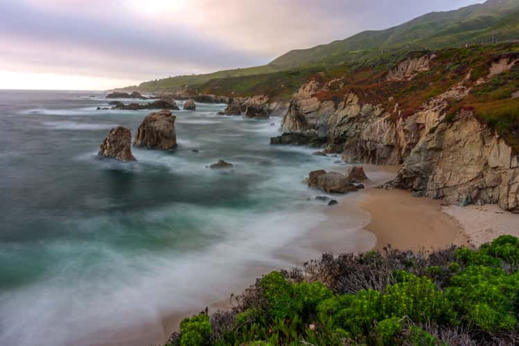
Garrapata State Park
6.04 km to location
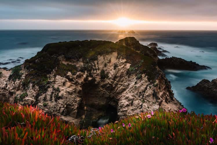
Garrapata State Park
6.04 km to location
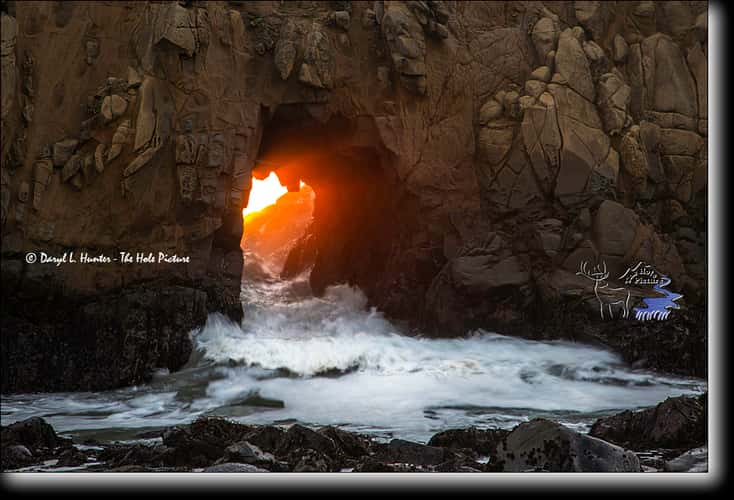
Pfeiffer Beach Sea Cave
31.96 km to location
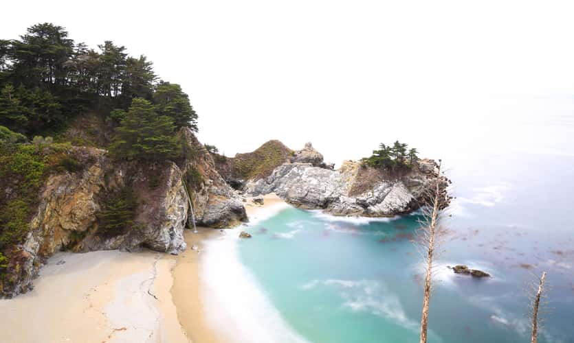
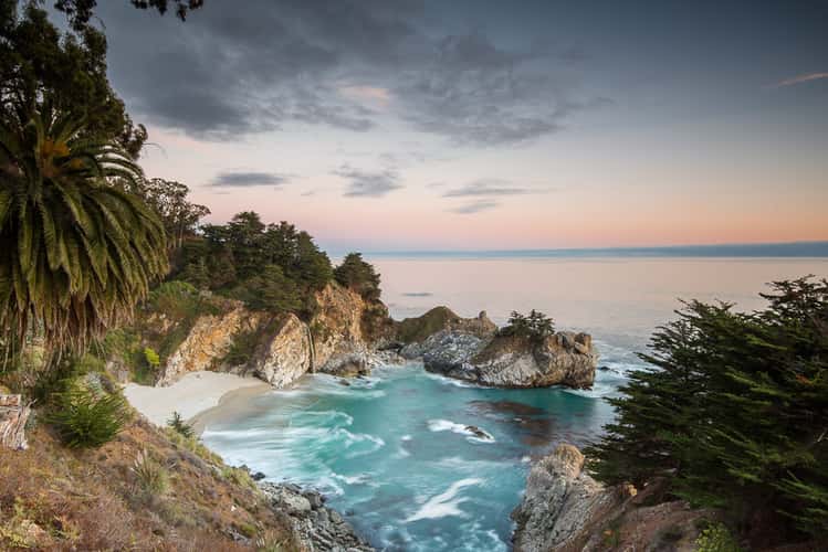
McWay Beach and Falls
45.55 km to location
McWay Beach and Falls
45.55 km to location
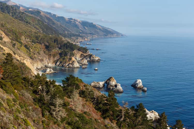
Costline view at Highway 1
44.08 km to location
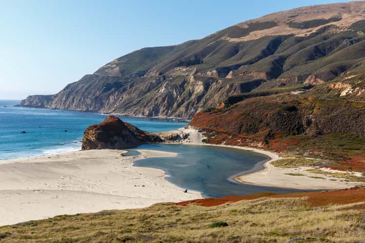
Pacific Coast at Highway 1
20.21 km to location
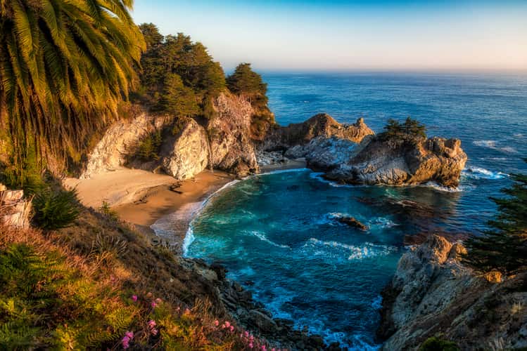
McWay Beach and Falls
45.55 km to location
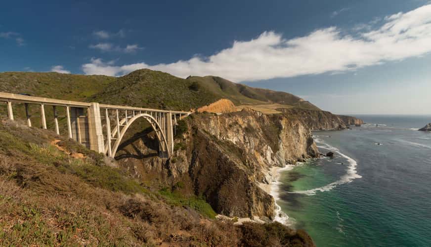
Bixby Bridge, Garrapata State Park, Big Sur, CA
15.51 km to location
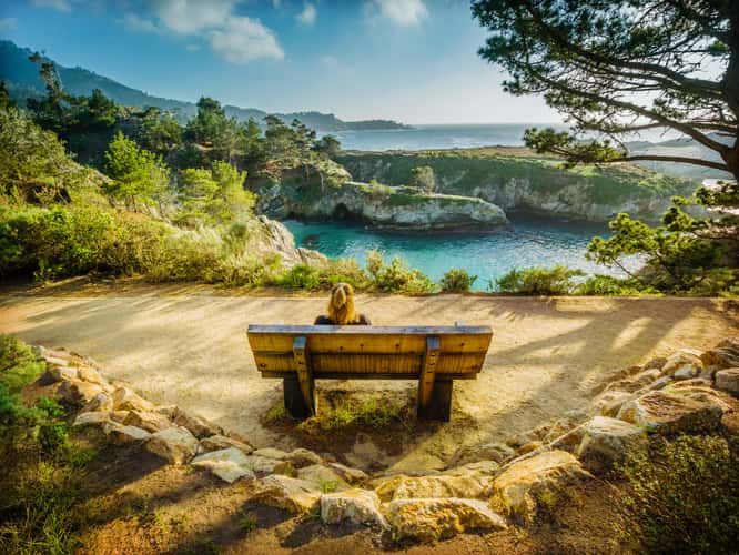
China Cove (Point Lobos)
0.01 km to location