416 photos in 178 spots
- Show
- all photos
- only best photo/spot
- Order by
- Popularity
- Newest
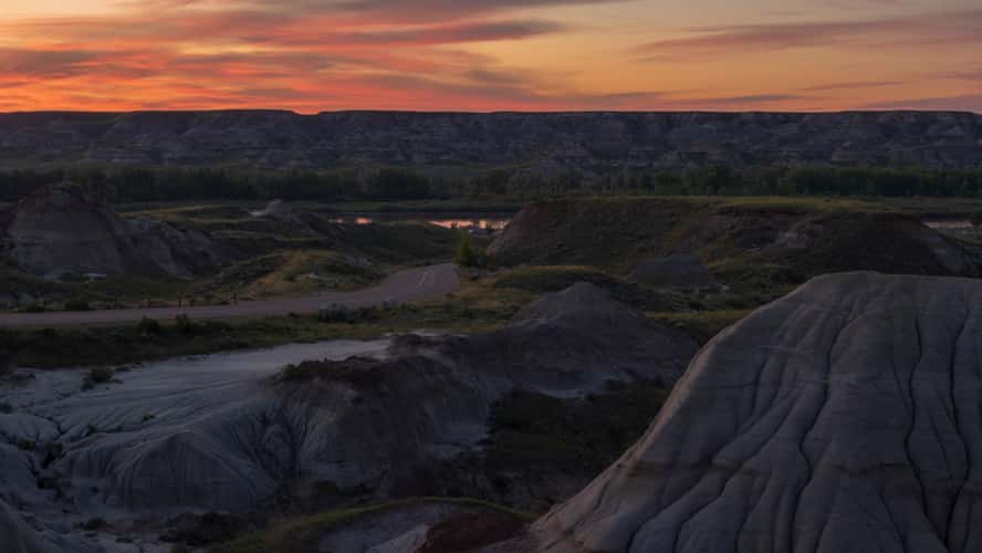
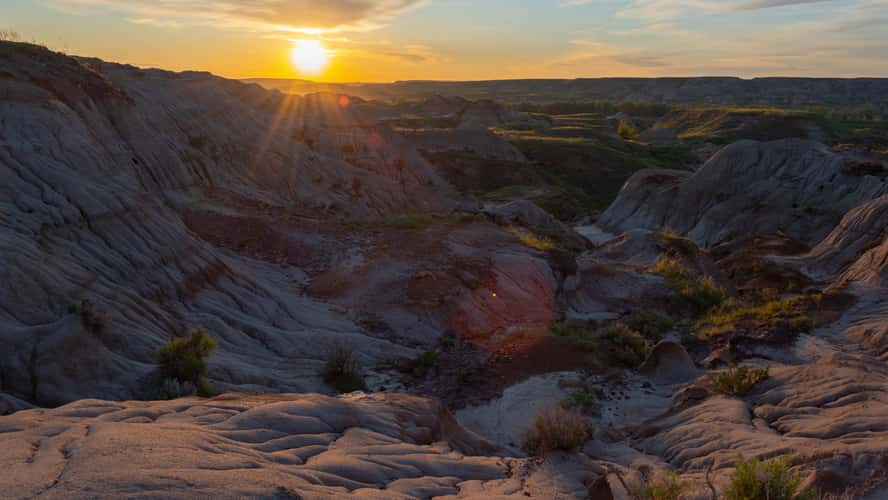
Dinosaur Provincial Park
255.64 km to location
Dinosaur Provincial Park
255.64 km to location
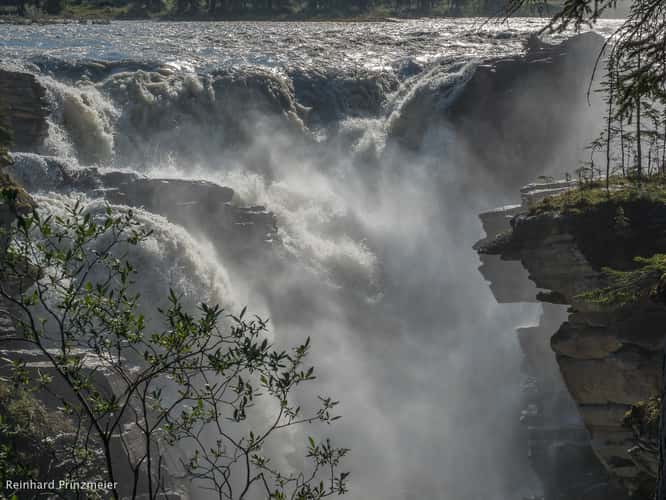
Athabasca Falls
495.14 km to location
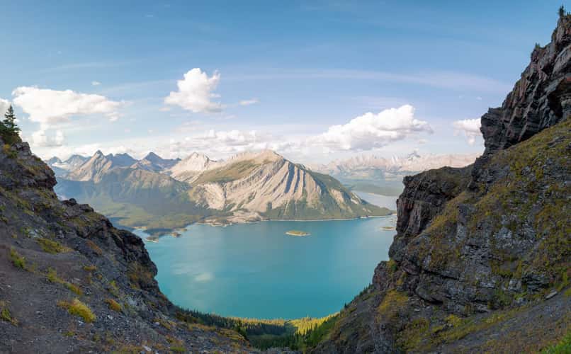
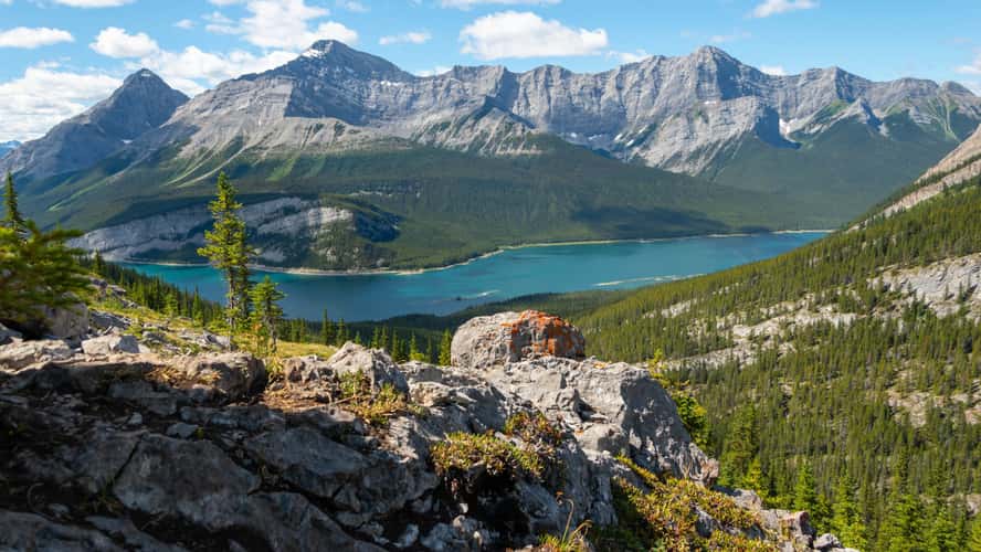
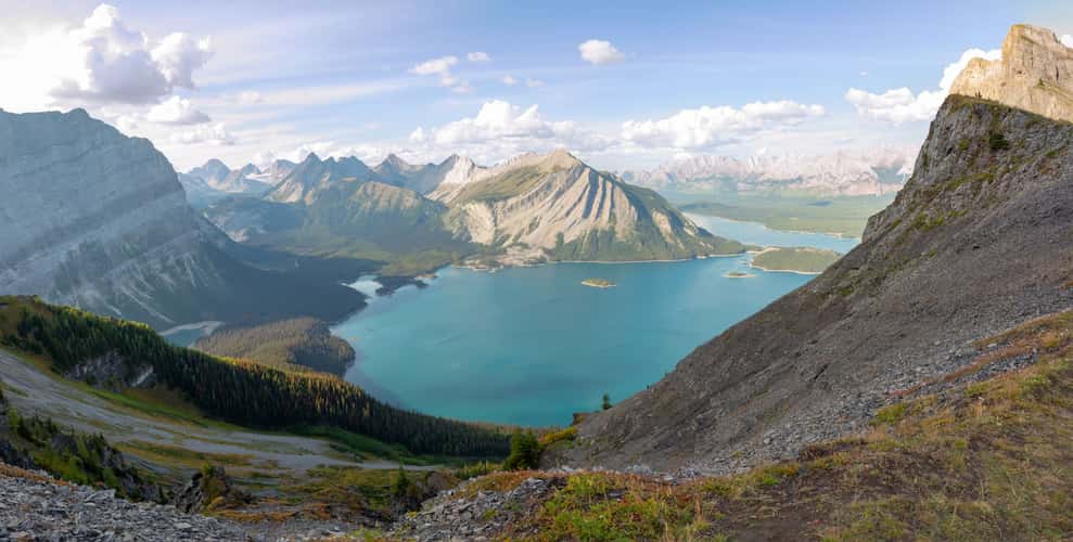
Sarrail Ridge
200.12 km to location
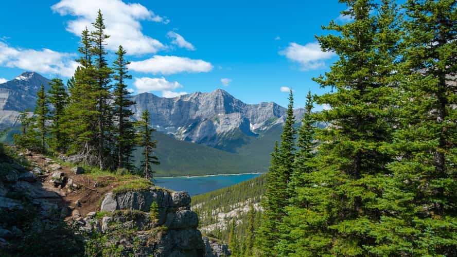
Spray Lakes Reservoir from Windtower hike trail
242.59 km to location
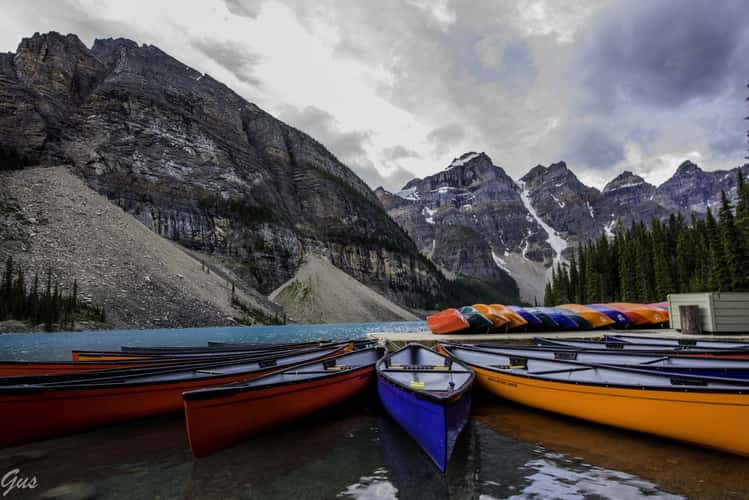
Moraine Lake Trail
306.33 km to location

Mt. Boswell - Crypt Lake Trail
0 km to location
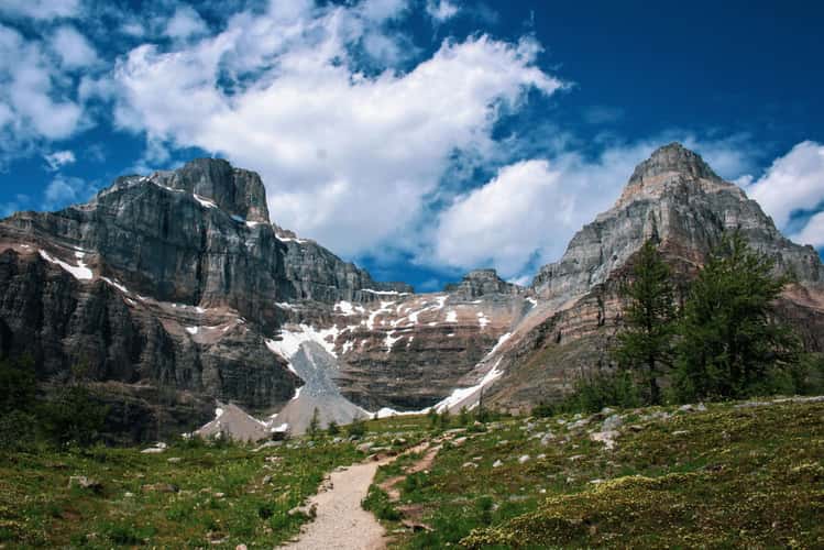
Howe’s Pass Viewpoint
387.51 km to location
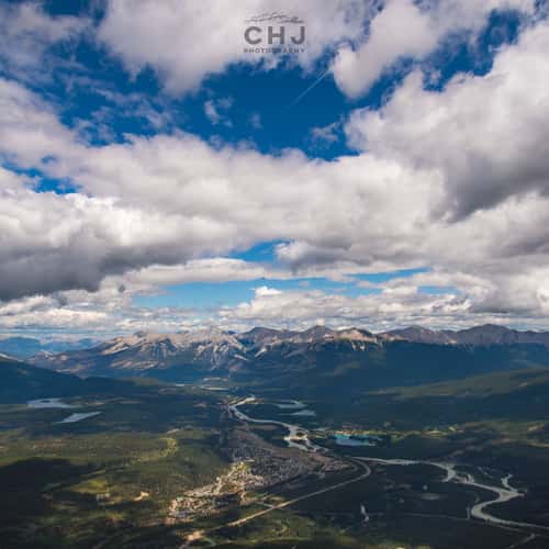
Whistler's Peak - Jasper Sky Tram
520.1 km to location
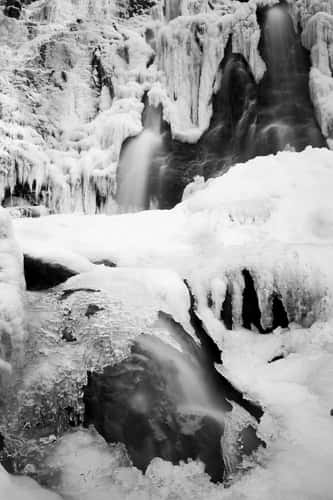
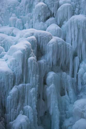
Blakiston Falls
19.38 km to location
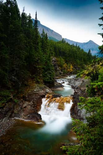
Johnston Canyon Upper Falls
287.5 km to location
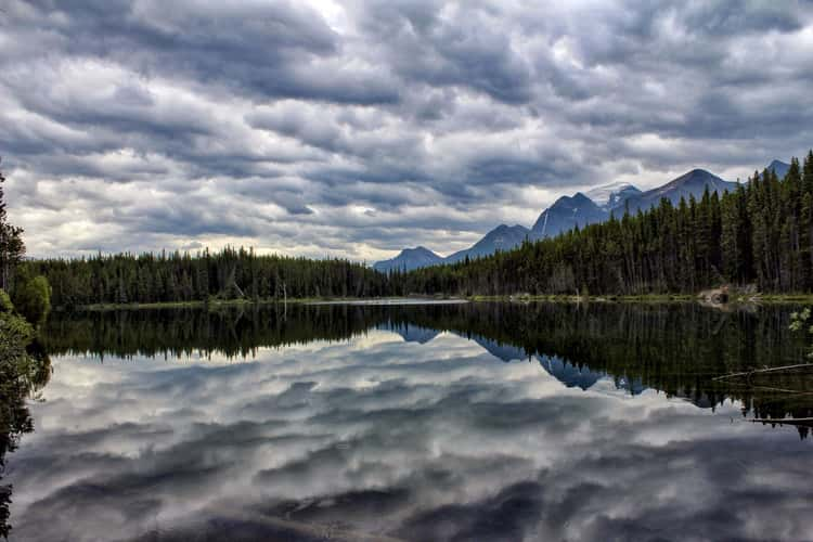
Herbert Lake
320.61 km to location
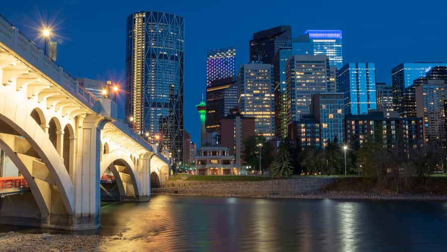
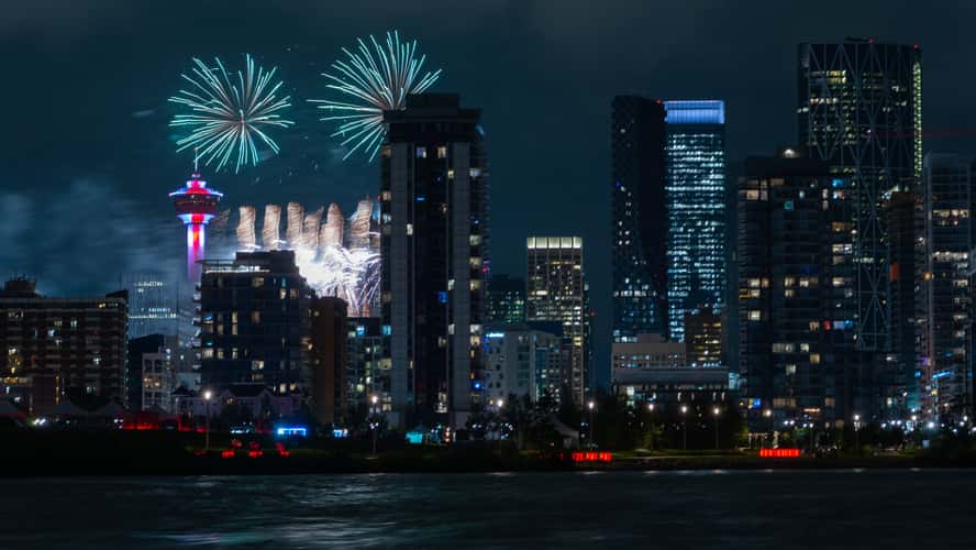
Downtown Calgary - From Centre Street Bridge
227.62 km to location
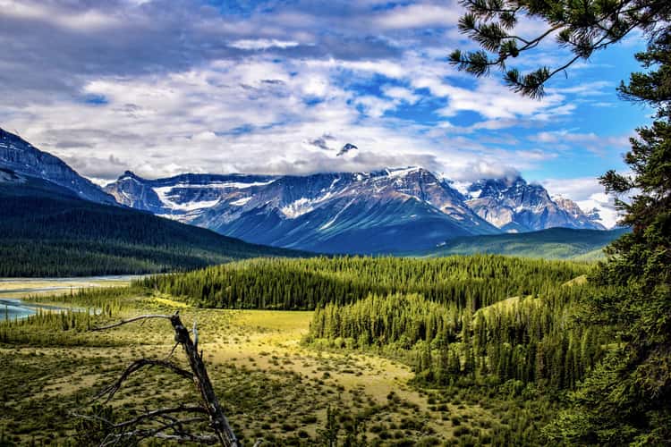
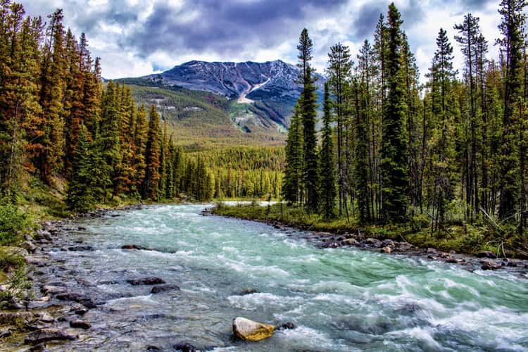
Tangle Creek Falls
435.63 km to location
Downtown Calgary from St. Patrick's Island
226.62 km to location
Eiffel peak and Pinnacle Mountain
308.15 km to location
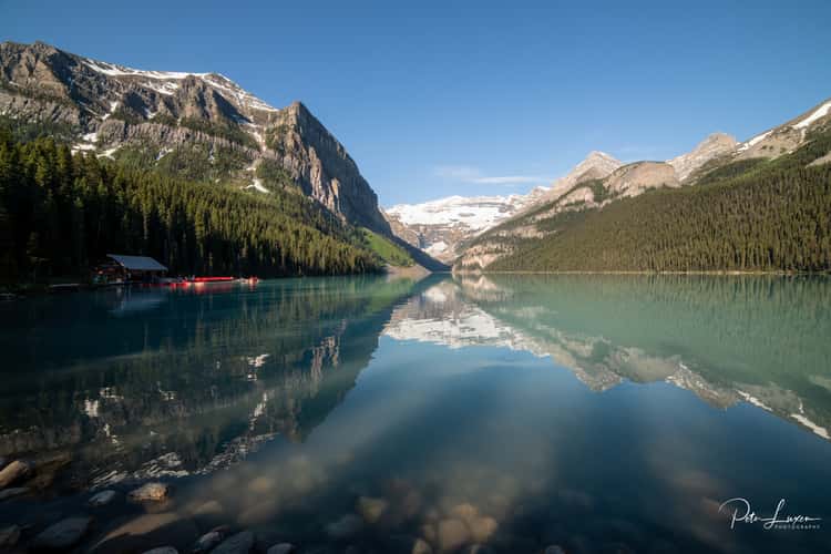
Lake Louise (near Parking)
316.11 km to location
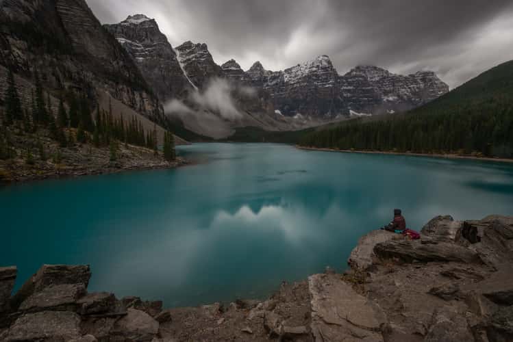
Moraine Lake, Banff
306.56 km to location
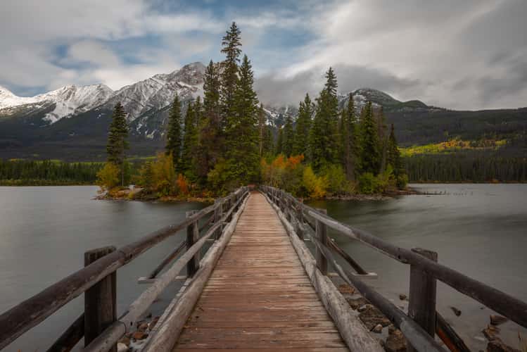
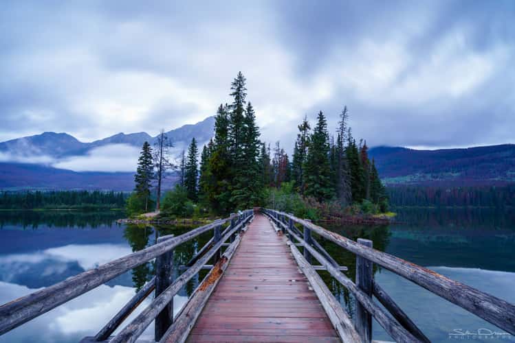
Pyramid Island view with Bridge
526.8 km to location
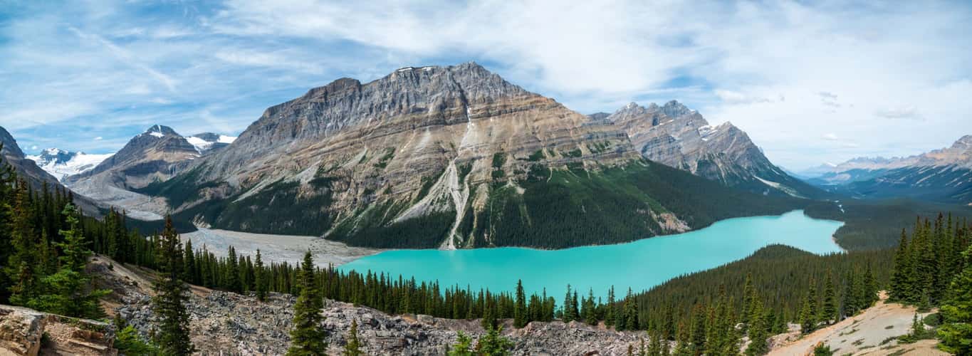
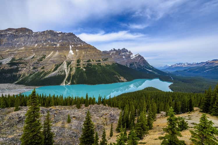
Peyto Lake Overview from Bow Summit
355.21 km to location
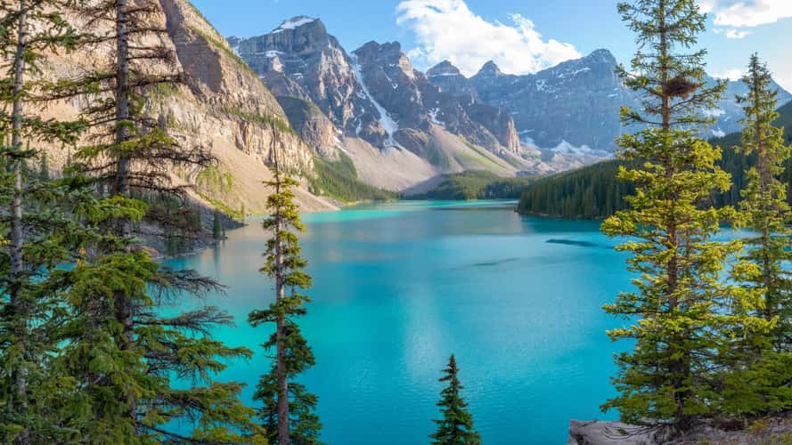
Moraine Lake - Banff National Park, Alberta
306.44 km to location
Peyto Lake Overview from Bow Summit
355.21 km to location
Moraine Lake - Banff National Park, Alberta
306.47 km to location
Sunwapta Falls from the Bridge
473.72 km to location
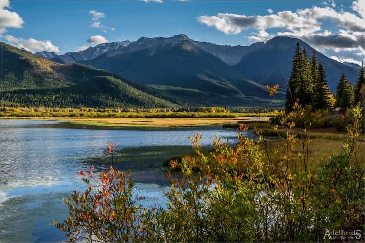
Mount Rundle from Vermillion Lakes
271.97 km to location
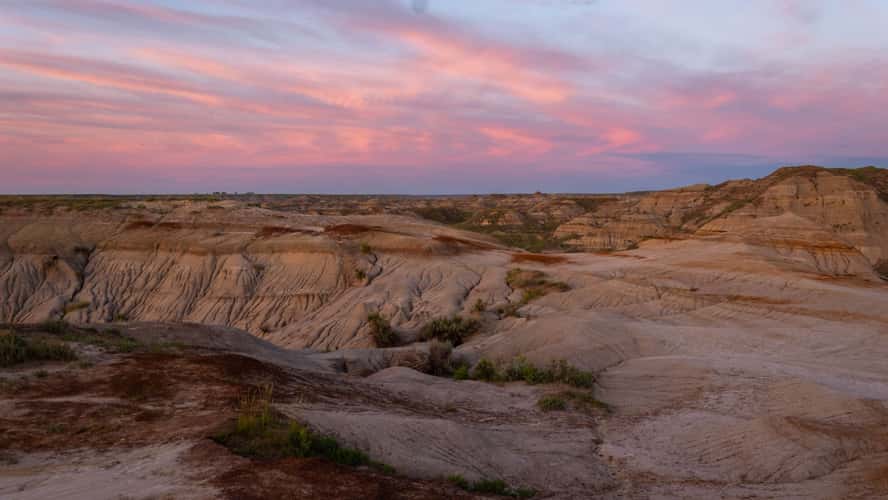
Dinosaur Provincial Park
255.64 km to location
Sarrail Ridge
200.12 km to location
Spray Lakes Reservoir from Windtower hike trail
242.59 km to location
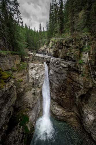
Johnston Canyon, Lower Falls
287 km to location
Pyramid Island view with Bridge
526.8 km to location