237 photos in 122 spots
- Show
- all photos
- only best photo/spot
- Order by
- Popularity
- Newest
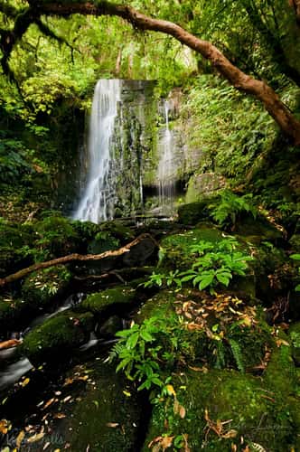
Matai Falls
205.45 km to location
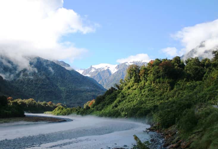
Omoeroa River
164.31 km to location
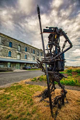
Sculpture, Victorian Rail Overbridge, Oamaru, South Island
158.23 km to location
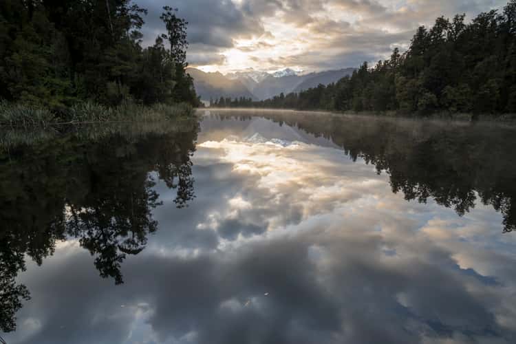
Lake Matheson
155.9 km to location
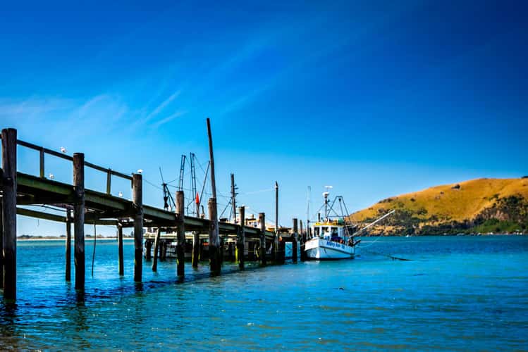
Jetty & fishing boat, Otakou, South Island
179.64 km to location
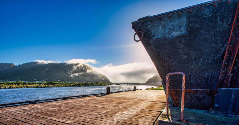
Coal Cart and fog lifting Greymouth South Island
302.53 km to location
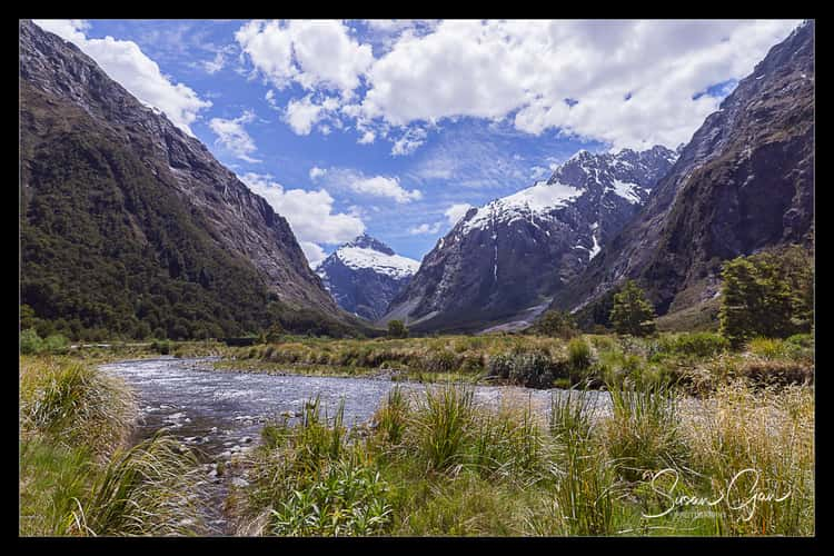
Monkey Creek
82.45 km to location
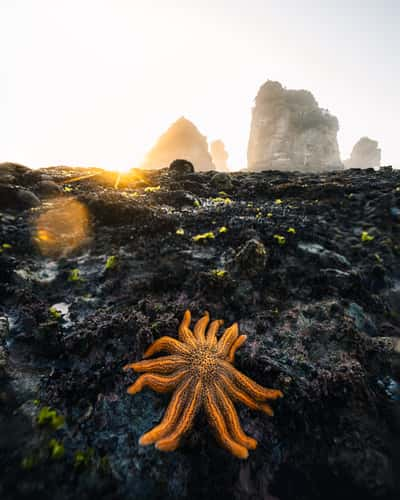
Motukiekie Beach, Starfish Colony
316.78 km to location
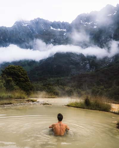
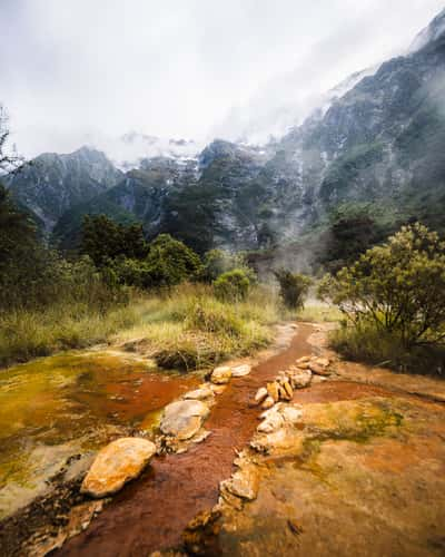
Hot Pools Welcome Flat Hut
136.65 km to location
Hot Pools Welcome Flat Hut
136.65 km to location
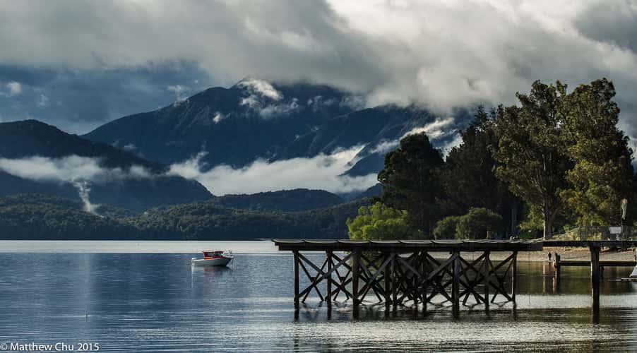
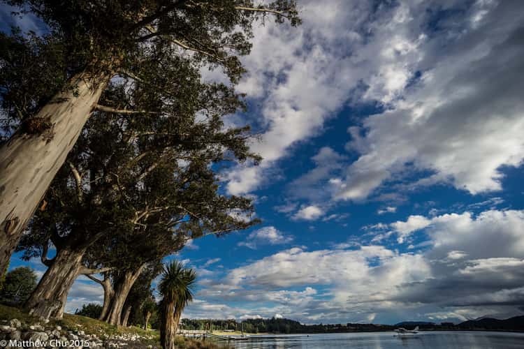
Te Anau Lakeshore
133.48 km to location
Te Anau Lakeshore
133.48 km to location
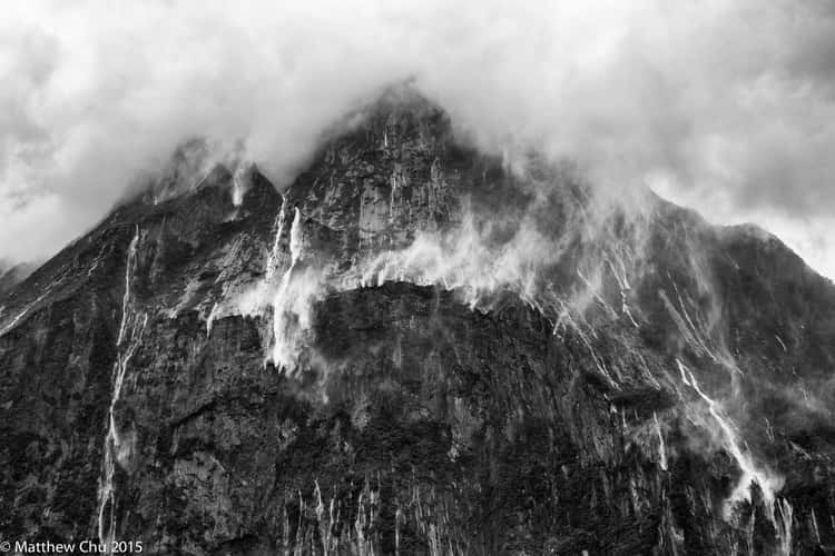
Milford Sound, New Zealand
90.25 km to location
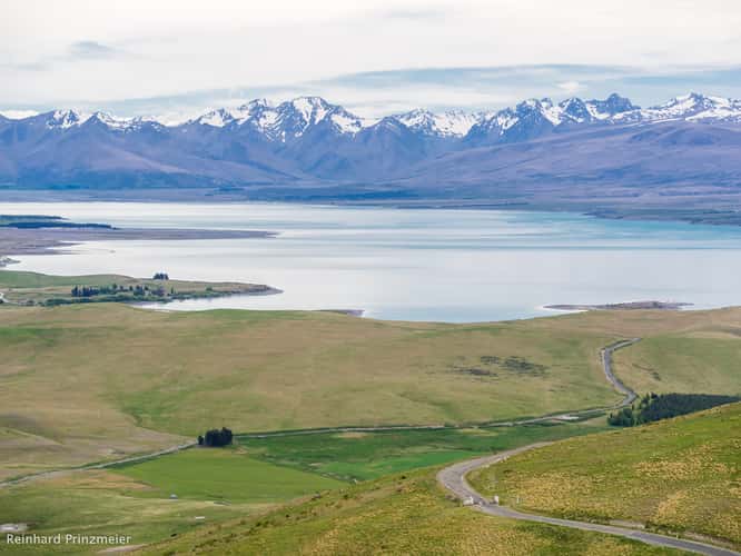
Mt. John Observatory
136.05 km to location
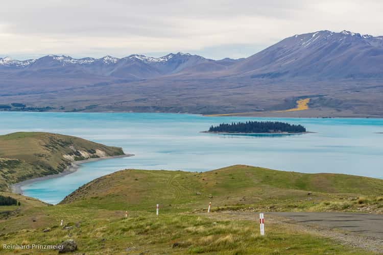
Mt. John Observatory
136.05 km to location
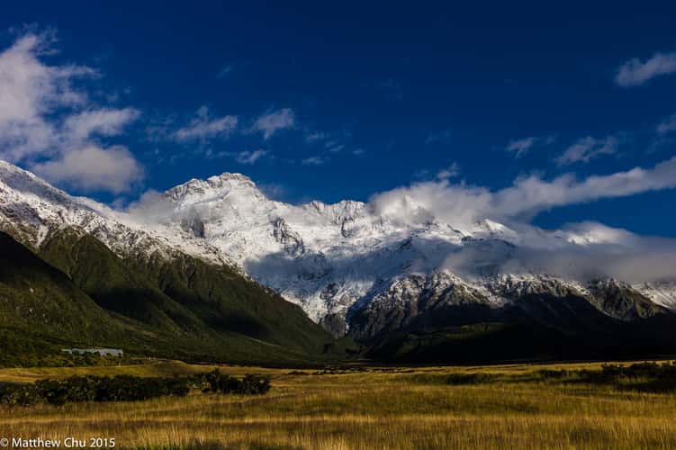
Mount Cook
125.26 km to location

Mirror Lake, Fiordland National Park South Island
90.79 km to location
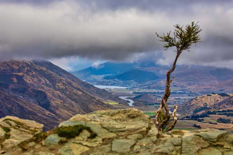
Decending into Queenstown South Island
36.77 km to location
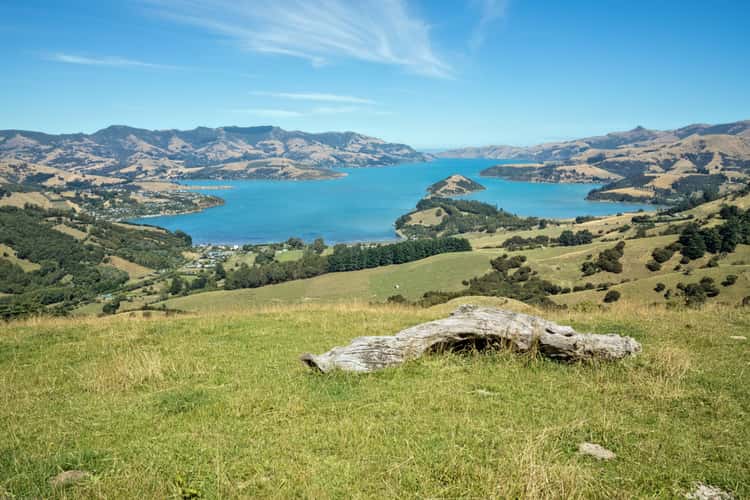
Akaroa – Summit Road
329.58 km to location
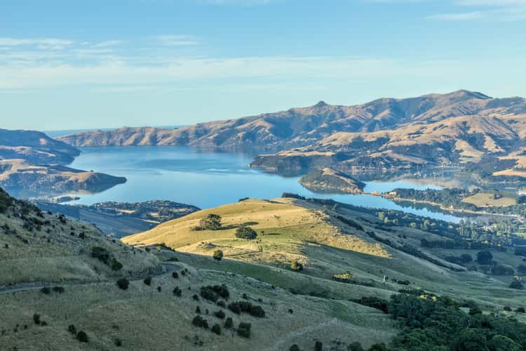
Akaroa – Summit Road
329.58 km to location
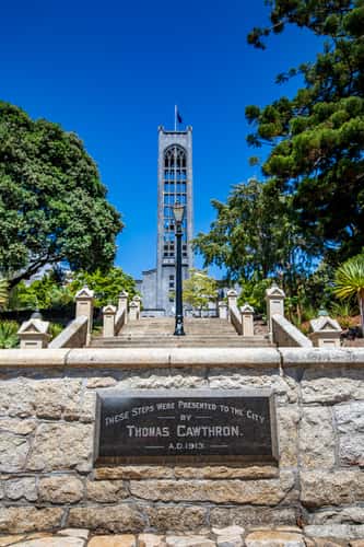
Christ Church Cathedral, Nelson South Island
511.08 km to location
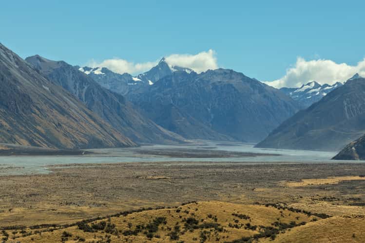
Mount Sunday/Edoras
193.29 km to location
Mount Sunday/Edoras
193.29 km to location

lupins on the roadside
274.9 km to location
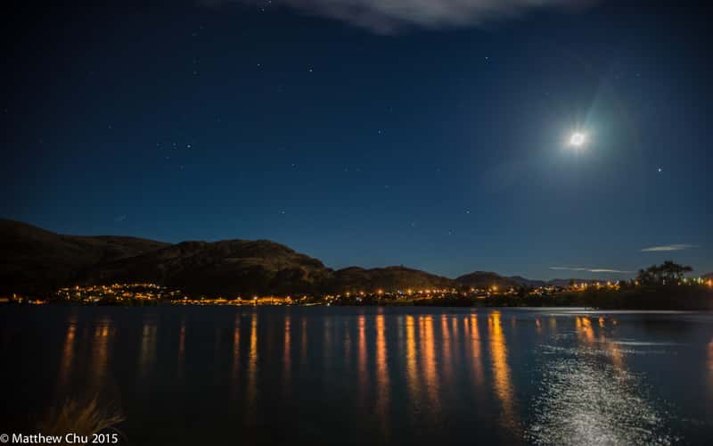
Queenstown at night
46.46 km to location
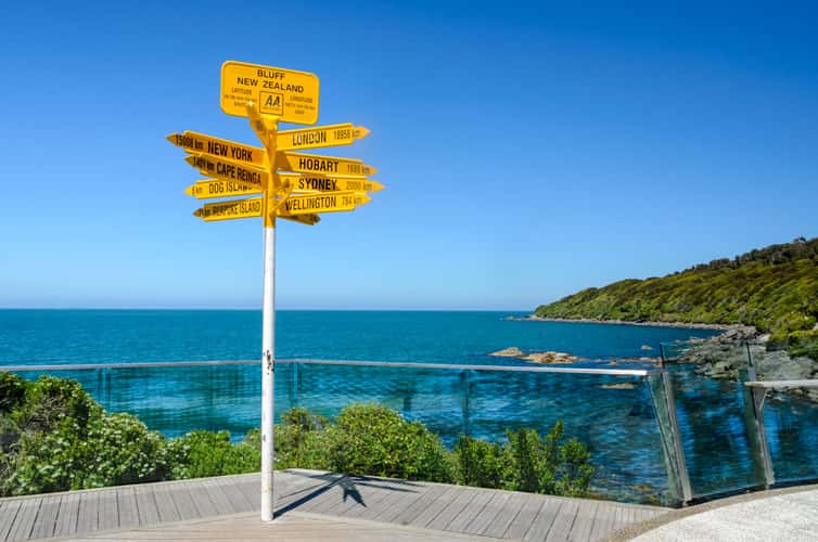
Stirling Point
221.63 km to location
Oasis Crown Range Road Lookout Queenstown South Island
36.77 km to location
Signal Hill Lookout
175.6 km to location
Clyde
59.17 km to location
Shirt Tail Track Waterfall
76.85 km to location