61 photos in 25 spots
- Show
- all photos
- only best photo/spot
- Order by
- Popularity
- Newest
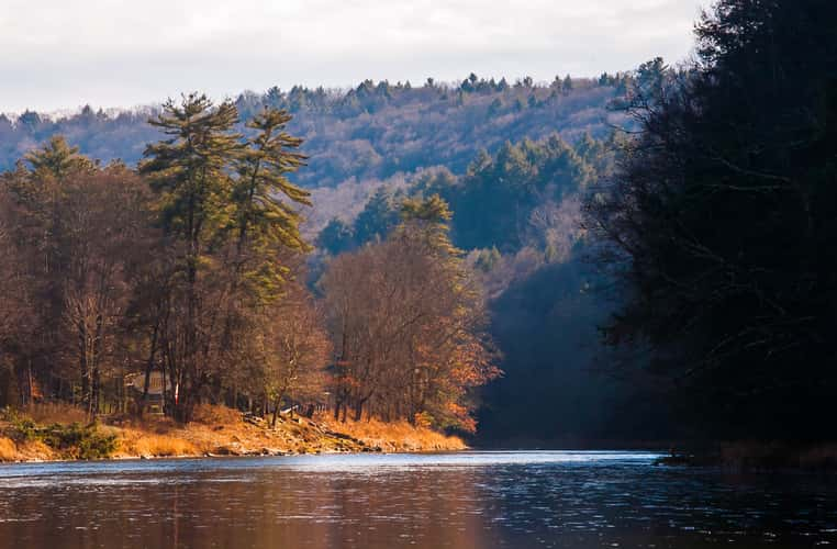
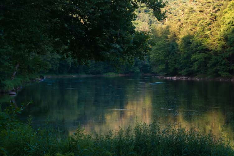
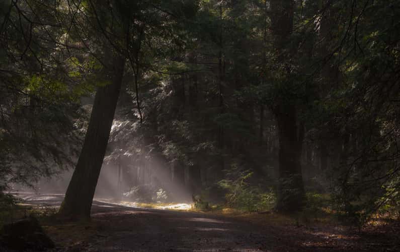
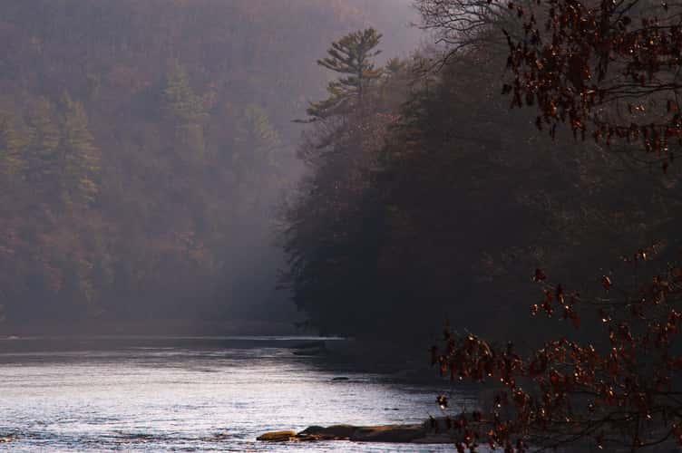
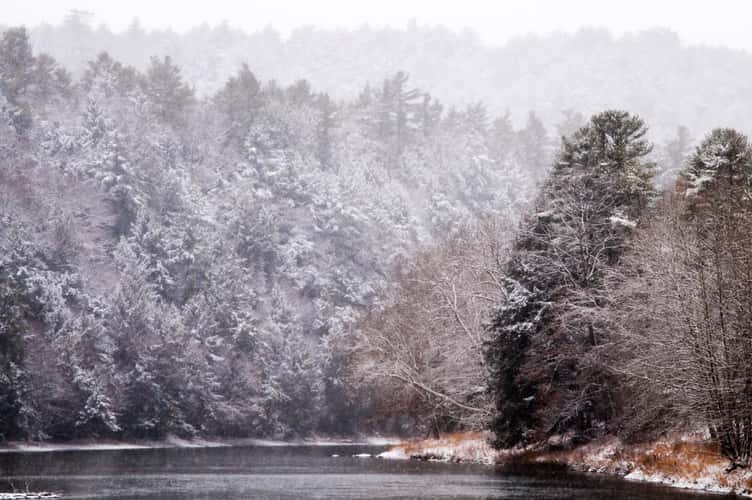
View Up-River from Cooksburg
375.61 km to location
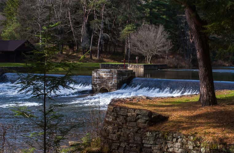
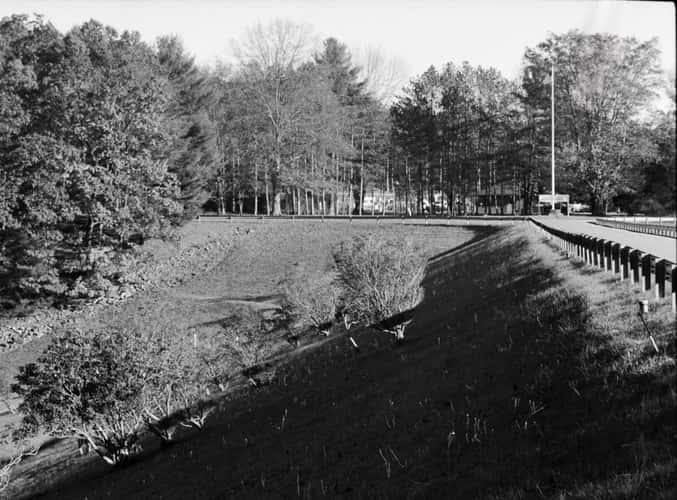
Loleta Dam
369.04 km to location
Loleta Dam
369.04 km to location
Loleta Dam
369.04 km to location
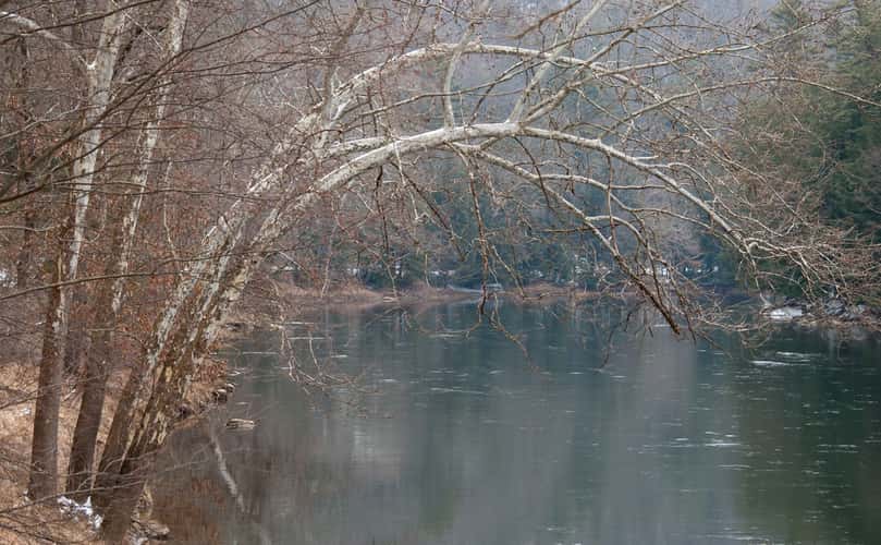
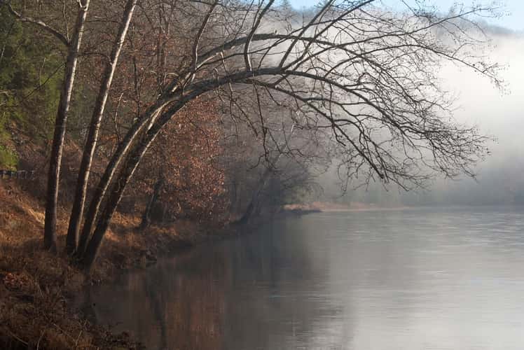
Bending Tree over the Clarion River
374.2 km to location
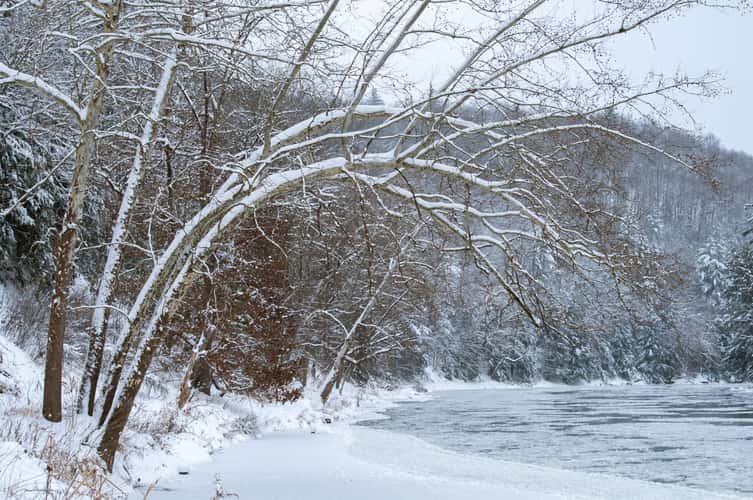
Bending Tree over the Clarion River
374.2 km to location
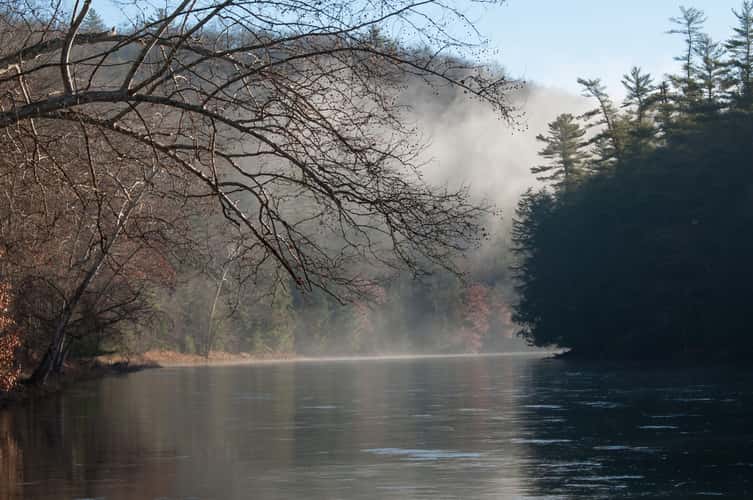
Bending Tree over the Clarion River
374.2 km to location
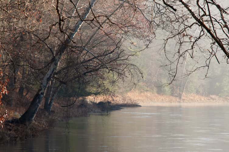
Bending Tree over the Clarion River
374.2 km to location

Bending Tree over the Clarion River
374.2 km to location
Bending Tree over the Clarion River
374.2 km to location
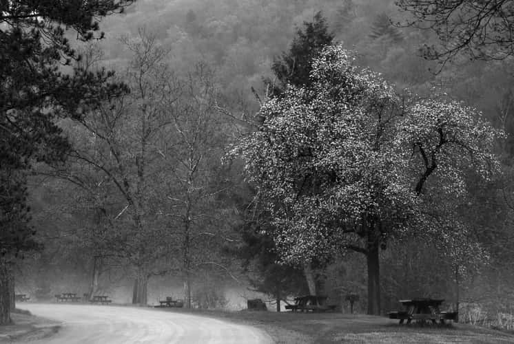
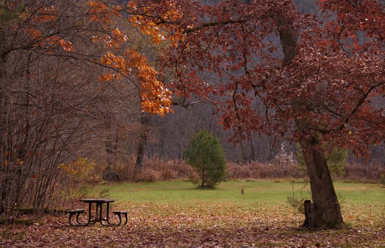
Picnic Area in Cook Forest
374.04 km to location
Tionesta Dam Entrance
400.24 km to location
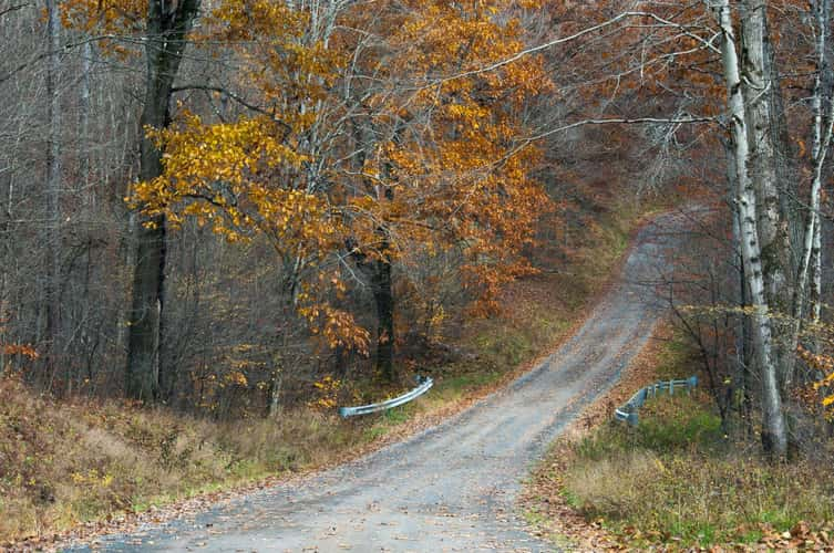
Fire Tower Road
376.8 km to location
Fire Tower Road
376.8 km to location

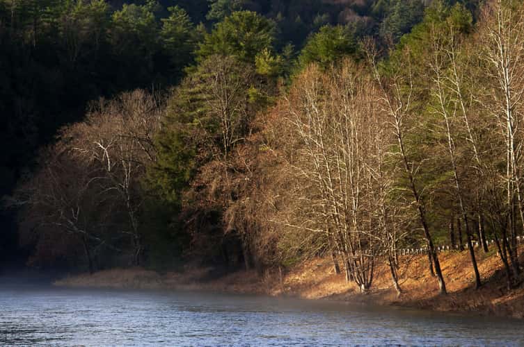
Clarion River in Cook Forest
374.71 km to location
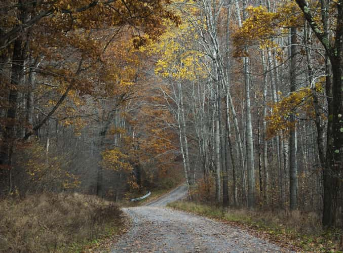
Millstone Road
368.92 km to location
Millstone Road
368.92 km to location
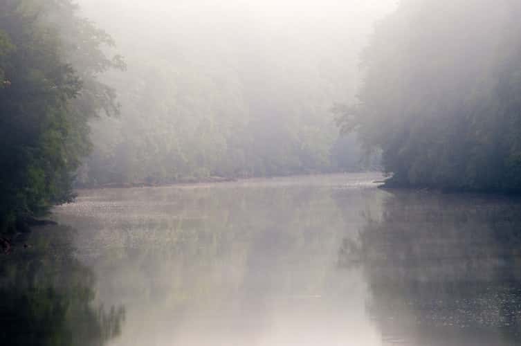
Clarion River at Shamburg
389.89 km to location
Clarion River near Coleman Run Rd
373.07 km to location
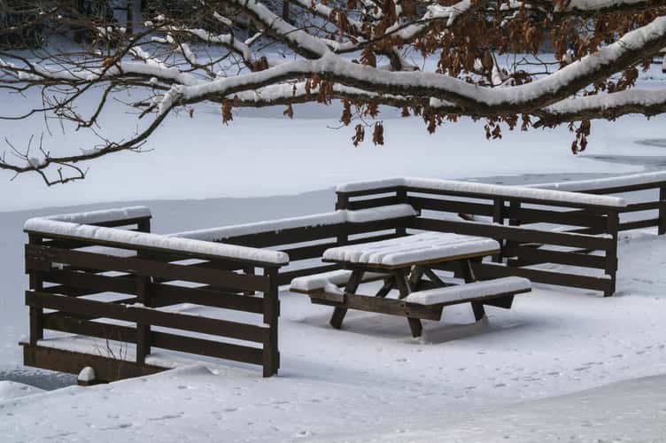
Beach Picnic Bench
365.33 km to location
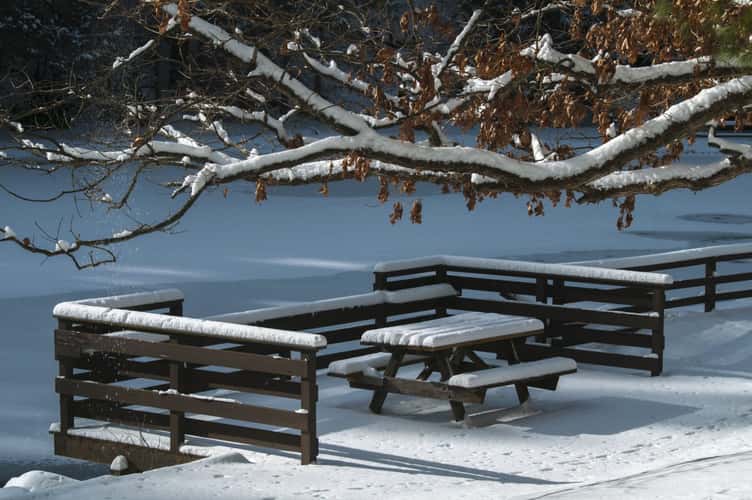
Beach Picnic Bench
365.33 km to location
Clarion River in Cook Forest
374.49 km to location
Clarion River in Cook Forest
374.49 km to location
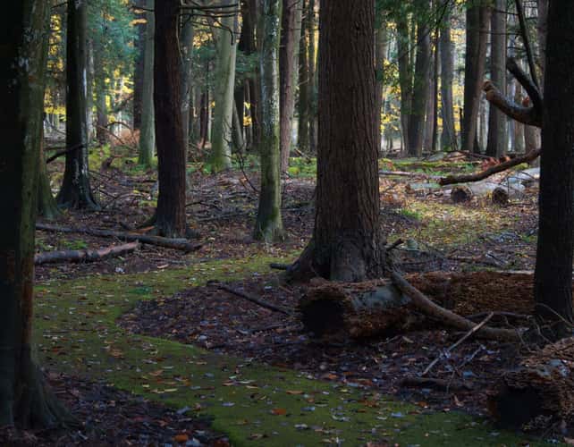
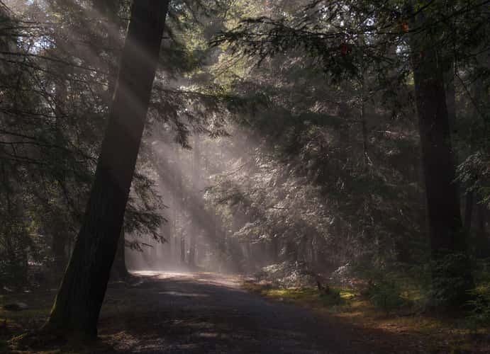
Moss-Covered Paved Trail
377.18 km to location

Picnic Spot
366.53 km to location
Bending Tree over the Clarion River
374.2 km to location
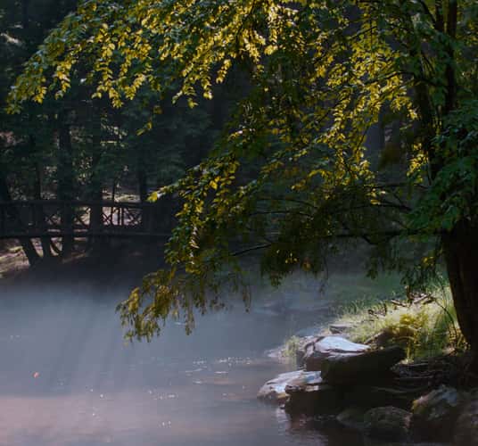
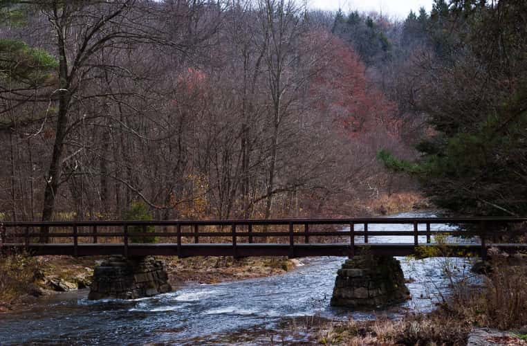
Tom's Run and Footbridge
376.34 km to location
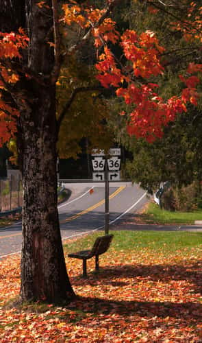
Bench on River Road
375.65 km to location

Henry Run Sawmill Dam
376.63 km to location
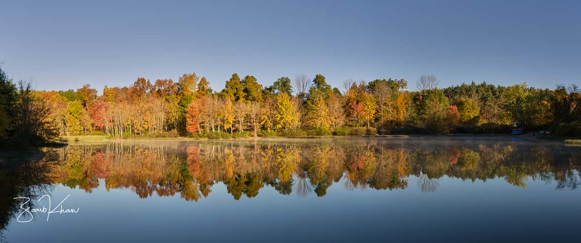
Delaware River area on New Jersey and Pennsylvania border
136.59 km to location