57 photos in 57 spots
- Show
- all photos
- only best photo/spot
- Order by
- Popularity
- Newest
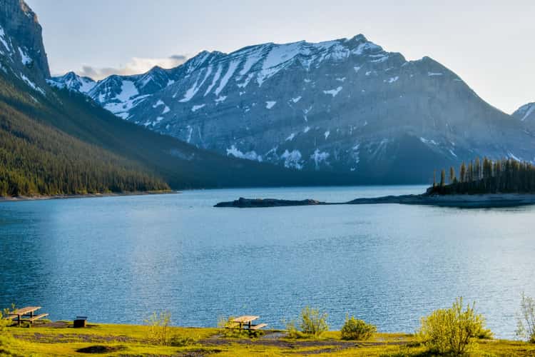
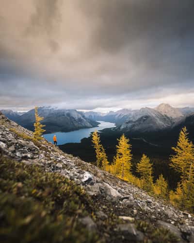
Upper Kananaskis Lake
1531.3 km to location
Columbia Icefield Skywalk
1651.38 km to location
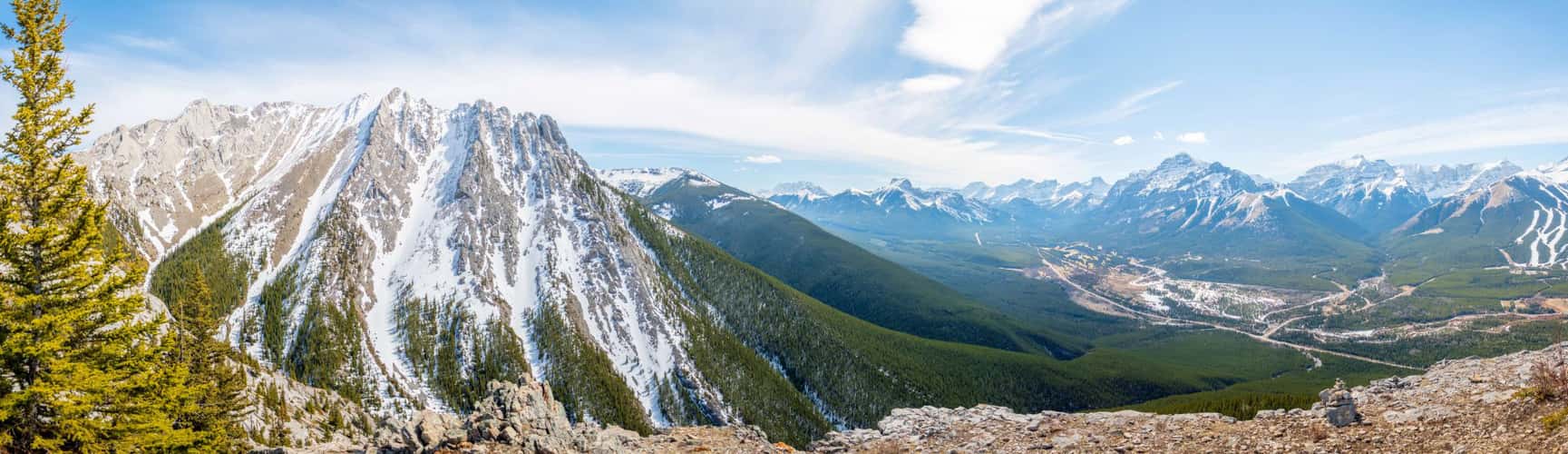
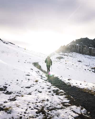
Wasootch Ridge Trail - Kananaskis
1566.04 km to location
Bow Summit Trail
1608.52 km to location
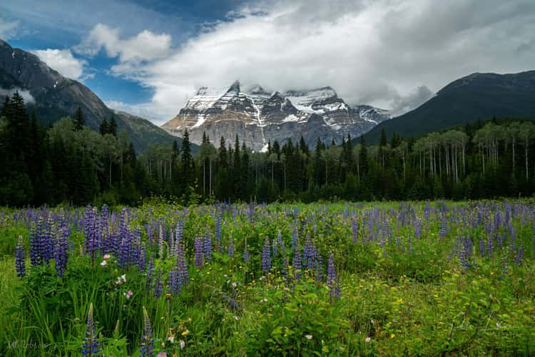
Mount Robson view from visitors centre
1706.66 km to location
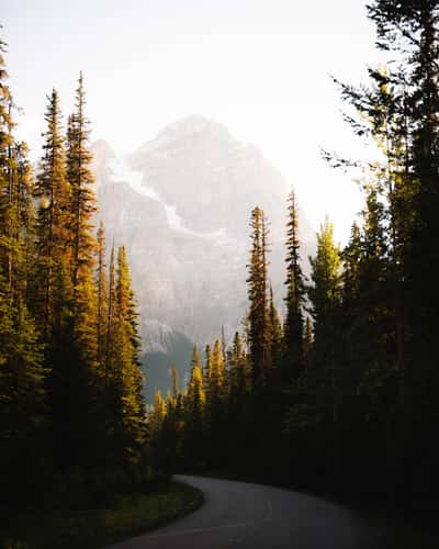
Yoho Valley Road, Yoho National Park
1582.18 km to location
Fossil Falls
1528.56 km to location
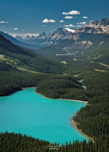
Peyto Lake
1609.35 km to location
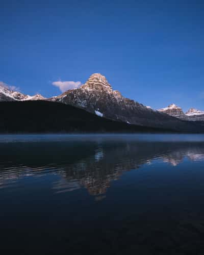
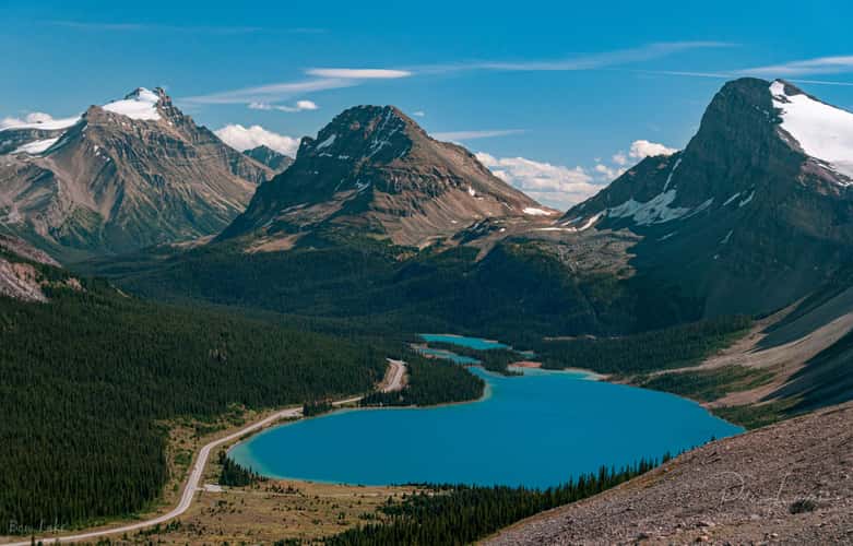
Lower Waterfowl Lake
1621.04 km to location
Tent Ridge Horseshoe, Hike
1547.15 km to location
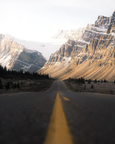
Icefield Parkway, Southern Direction to Bow Lake
1609.19 km to location
Lake Louise Mountain View, from Town
1586.85 km to location
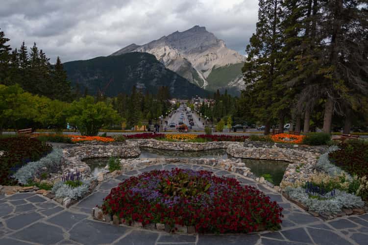
Banff National Park Administrative Building
1576.01 km to location
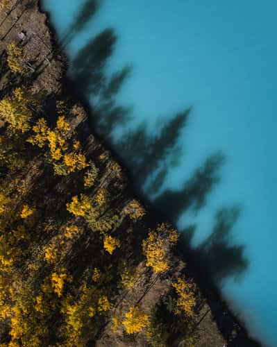
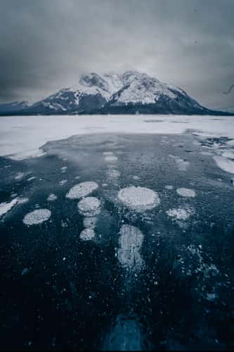
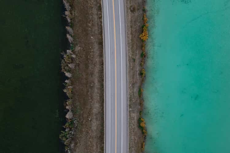
Submerged Forest, Abraham Lake
1650.3 km to location
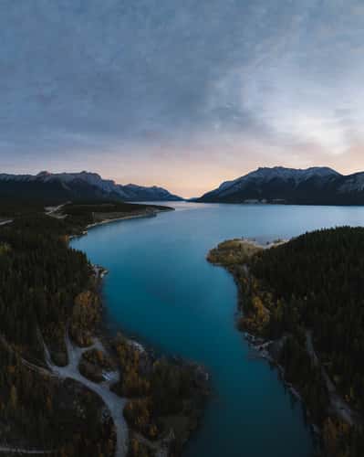
David Thompson Highway, Abraham Lake
1672.33 km to location
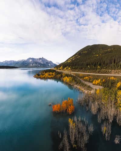
Cline River View, Abraham Lake
1658.17 km to location
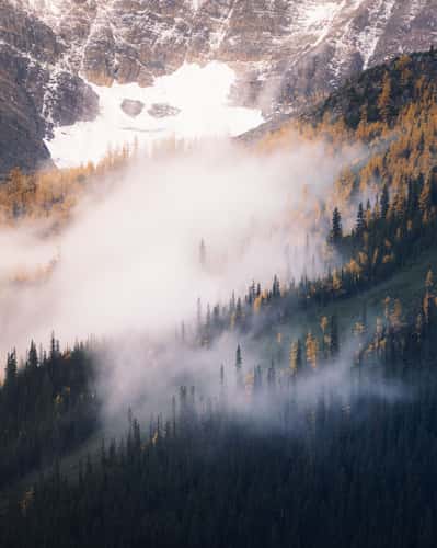
Lake Agnes, Northern Shoreline
1584.23 km to location
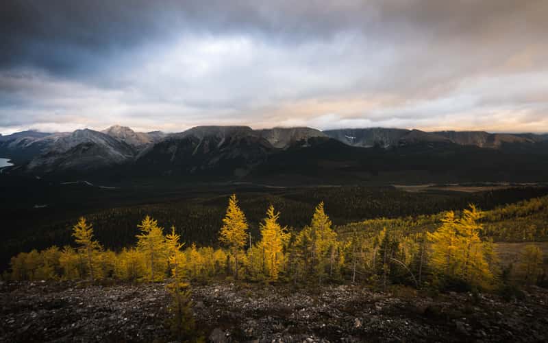
Mount Smutwood Summit Ridge
1542.41 km to location
Arnica Lake Larch Plateau
1570.27 km to location
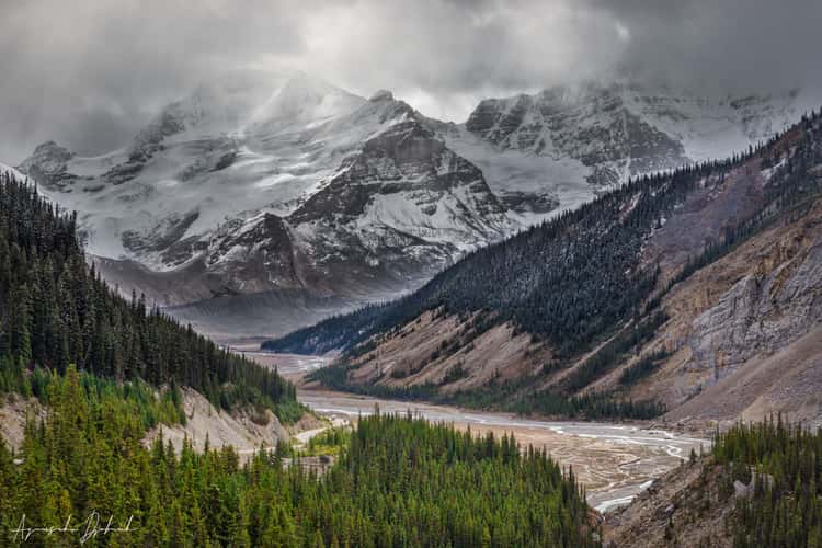
Icefields Parkway
1605.99 km to location
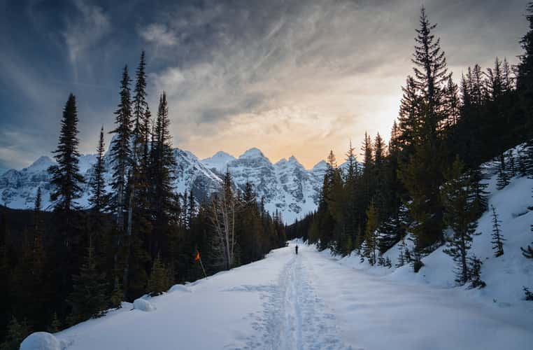
Street to Moraine Lake
1580.5 km to location
Bubble lake
1667.35 km to location
Tent Ridge Horseshoe, Kananaskis Country
1547.17 km to location
Smutwood Peak, Upper Trail
1542.42 km to location
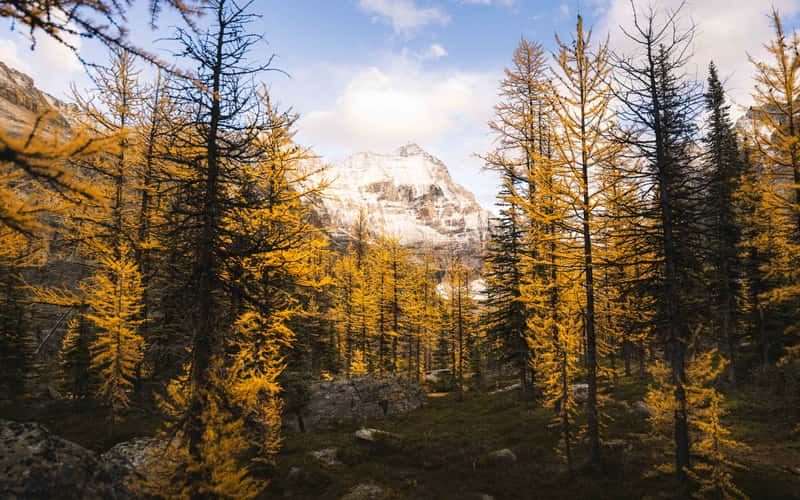
Larch Tree Valley, Lake O´hara
1575.04 km to location

The Rocky Mountains - View from the Elbow River
1558.33 km to location
Emerald Pond
1722.77 km to location