Namibia Desolation Valley Viewpoint
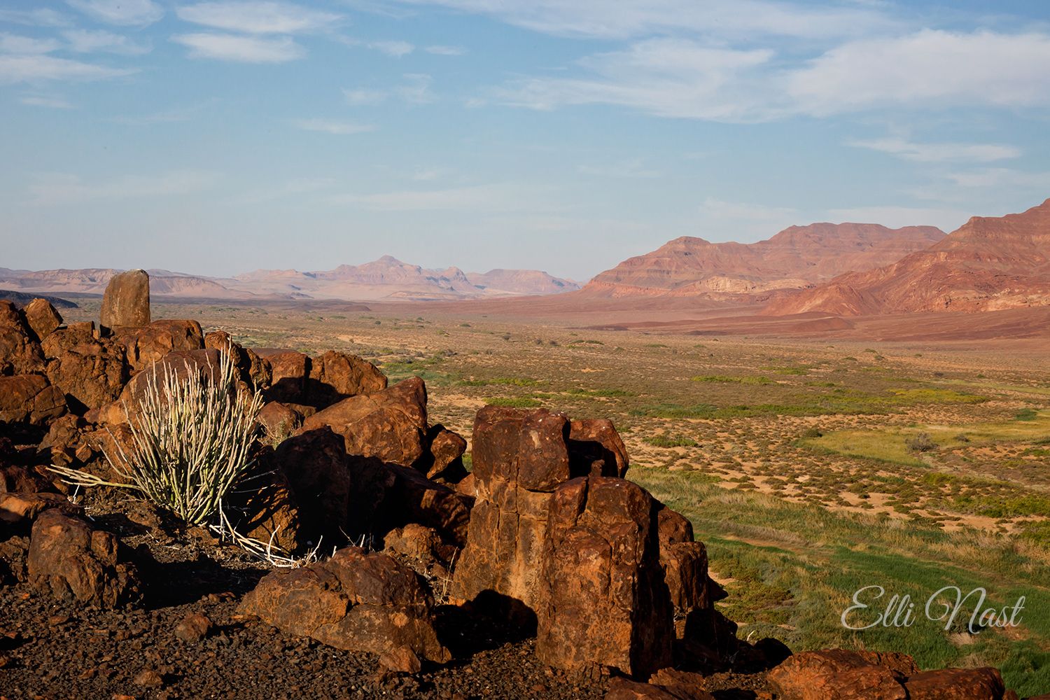
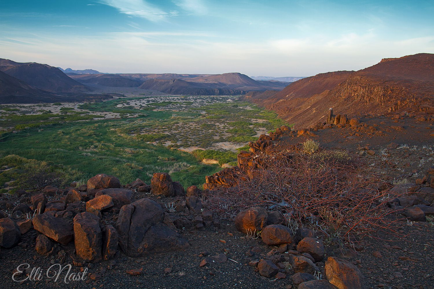
Here, you will find one of the most beautiful views Namibia has to offer. And this in a country that consists of 90% fantastic landscapes!
This viewpoint is situated above the Huab valley, which is bordered on the other side by a rock massif. Depending on the season, the Huab swamps (yes! There are swamps in Namibia, too!!!) are green, which attracts many elephants.
This viewpoint is not easy to reach, so you will probably be alone - for two weeks at a time if necessary. You can sit on the rocks, enjoy the scenery, and watch the elephants on the Huab below you.
Photography Tips
You overlook a large area of the Huab, which flows from northeast to south-west at this point. If you choose the right side, you will never have backlighting at this point!
The next village is just under 30 km away as the crow flies and consists of only a few houses. There is a lodge in the other direction, about the same distance away. There is no stray light at this point - making it ideal for astrophotography.
The next village is just under 30 km away as the crow flies and consists of only a few houses. There is a lodge in the other direction, about the same distance away. There is no stray light at this point - making it ideal for astrophotography.
Travel Information
You can only reach this viewpoint via 4x4 trails. The approach from Twyfelfontein is not only very difficult but also dangerous. It runs through a sand canyon in the Huab riverbed, which is also used by elephants. Once you have entered this canyon, you cannot turn back. Before exiting the Huab, a ford awaits you in which you have to drive over wet, unsustainable powder sand and avoid boulders, some of which are below the surface of the water and cannot be seen.
The approach from the coast is easier - but even here it is only possible with a 4x4 vehicle and off-road skills.
You can find a detailed description of the trails you need to drive on in the book that this link leads to:
https://www.amazon.de/Allrad-Trails-Namibia-Damaraland-Ute-Nast-Linke/dp/1980297630/ref=sr_1_3?__mk_de_DE=%C3%85M%C3%85%C5%BD%C3%95%C3%91&crid=332NF52J8D7A9&keywords=Damaraland&qid=1643634594&sprefix=damaraland%2Caps%2C120&sr=8-3
Spot Type
Outdoor
Crowd Factor
Nearly no other people
Best Timing
Winter
Sunrise & Sunset
07:17 - 18:47
| current local time: 14:58
Photo Themes
Huab
Landscape
Mountain
Moutainview
Natural Landscape
Sümpfe
swamp
Tal
valley
Locations
Damaraland
Huab
Desolation Valley


Spot Comments (0)