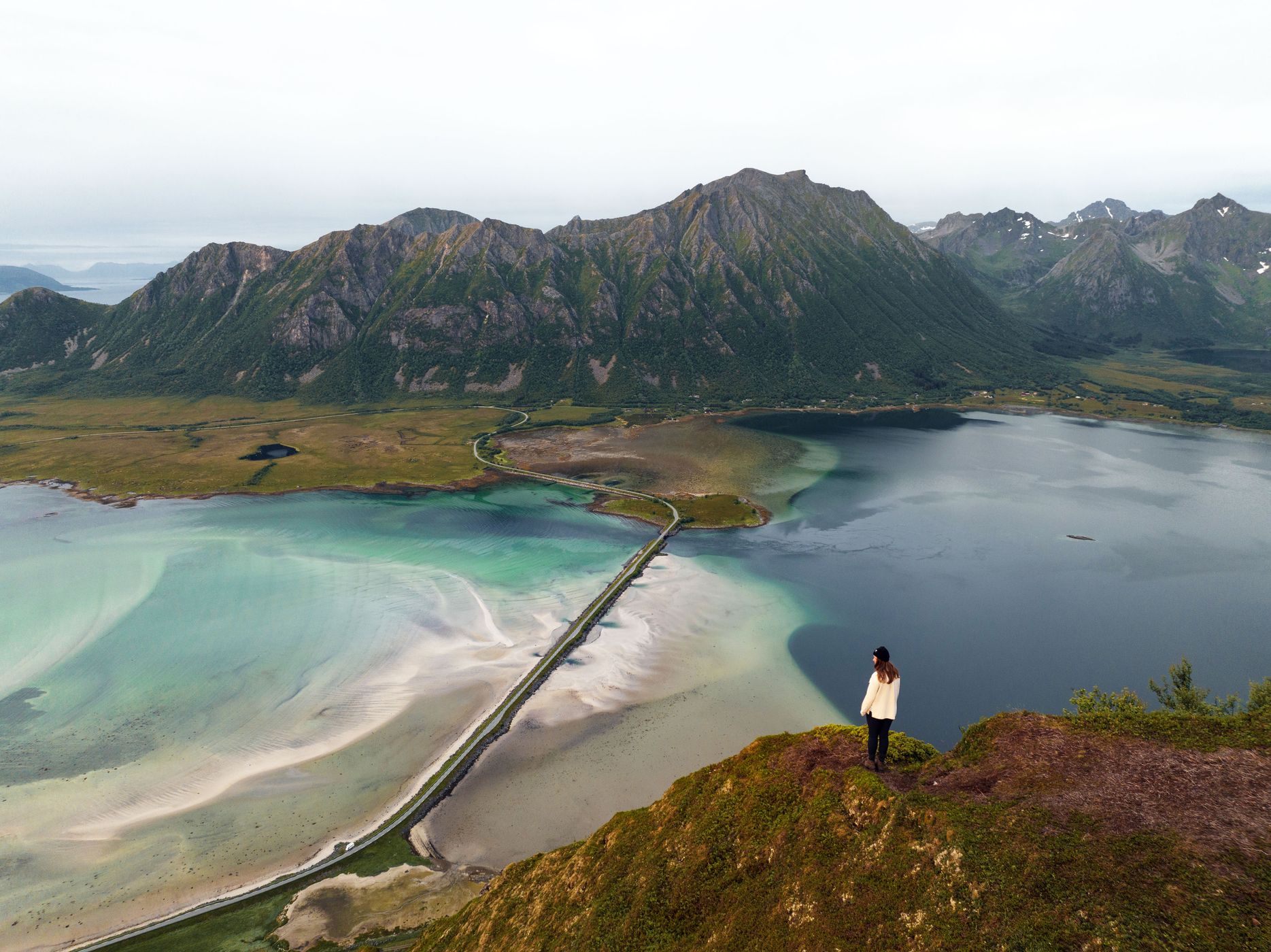
Matmora Trail, Norway
Mathias & Annika Koch
Mathias & Annika Koch kochphoto.net
This photo is copyrighted by the author.
Thank you for respecting the rights and efforts of our photographers. Please contact the author for further information.

Norway Matmora Trail

  • Please log in or sign up for free to see the GPS coordinates & weather for this photo spot
The spot is on the way to the mountain Madmora.

Photography Tips

This picture was taken with a drone. it is not necessary to take pictures with a drone here. If you photograph with a drone inform yourself about the current laws.

Travel Information

The hike starts at Madmora trail head. There you can park for free.
Spot Type Drone
Crowd Factor No info yet
Best Timing All timings are equally good
Sunrise & Sunset 09:18 - 14:14 | current local time: 22:23
Photo Themes Bridge fjord Mountains

Get the exact geo-position for this spot

Log in to see the GPS coordinates, sun directions, and the map for this photo spot. Or simply bookmark it along with other spots to plan your next trip.

Spot Comments (3)

Please log in or sign up for free to leave a comment or ask a question.
teo
teo 29.12.2023
How far does it climb to take this photo?
Mathias & Annika Koch
Mathias & Annika Koch 29.12.2023
It’s around 400 m elevation on 1,5 km so it’s very steep, takes 30-60 minutes
teo
teo 29.12.2023
Thanks .

Ratings (0) starstarstarstarstar

Popular photo spots in this region

Thank you Mathias & Annika Koch for creating this photo spot in Norway and Mia Pflieger for improving it with additional photos or content.
Imprint & Contact © Locationscout 2024 Privacy / Terms