
Slovenia Soca view
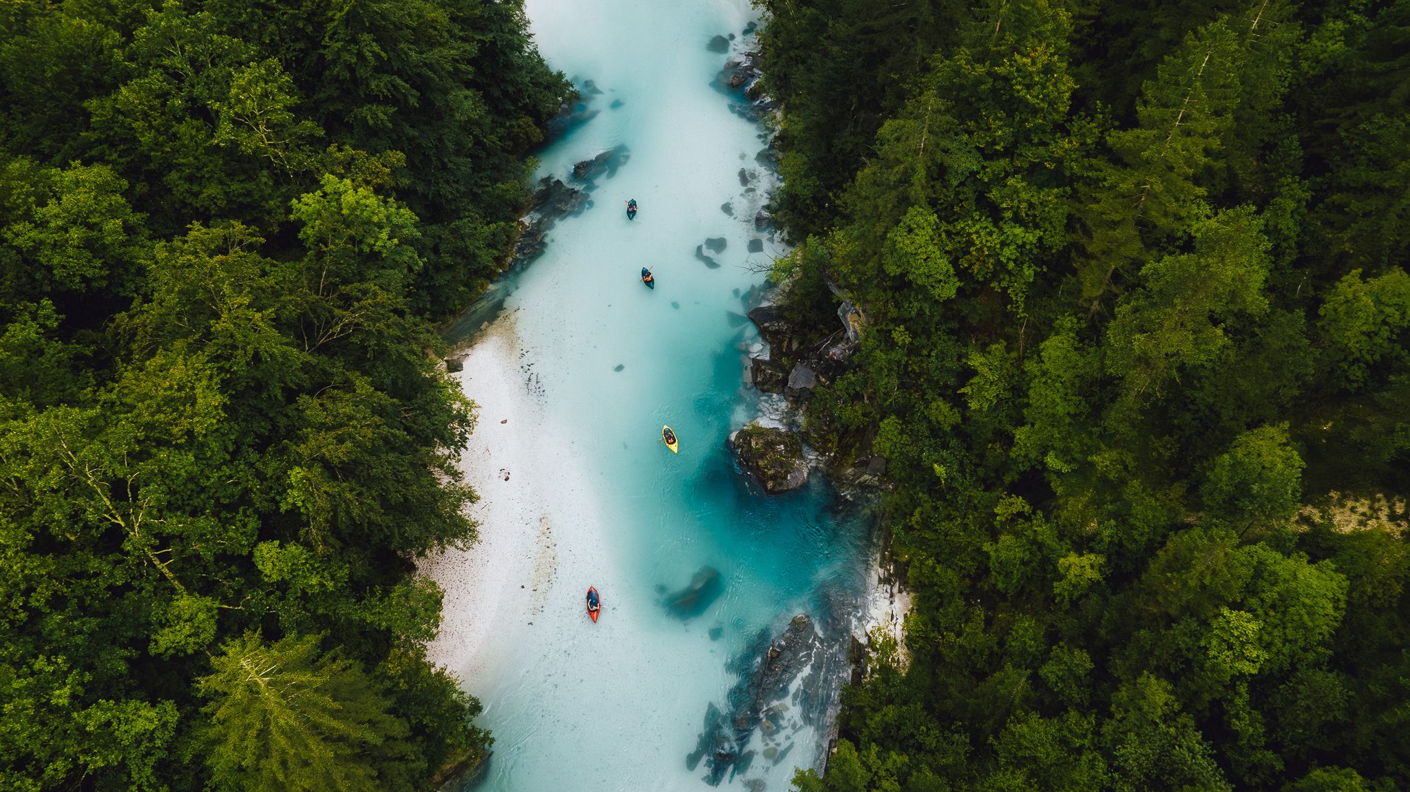
The Soča rises in the northwest of Slovenia from a karst spring at the foot of the Travnikin the Mangart-Jalovec massif in the Julian Alps, is 140 kilometers long and flows into the Gulf of Slovenia south of Monfalcone Trieste.
Photography Tips
The drone is the best way to make the incredible color of the river visible to your eyes. The water is extremely clear but cold! Since I was part of a rafting group it was easy for me to wait for other people to come by and take a photo of them for a sense of scale.
Travel Information
The nearby campground is a great base to stay the night before continuing your journey in a kayak or raft on the river. Slovenia is also great for road trips or to travel by bike!
Spot Type
Drone
Crowd Factor
Just a few people
Best Timing
Daytime in summer
Sunrise & Sunset
06:33 - 19:42
| current local time: 18:08
Photo Themes
kayak
raft
rafting
River
stream
Locations
River Soca
Soca Valley


Spot Comments (0)