")
Sweden Oxaberget, Tiveden Nationalpark
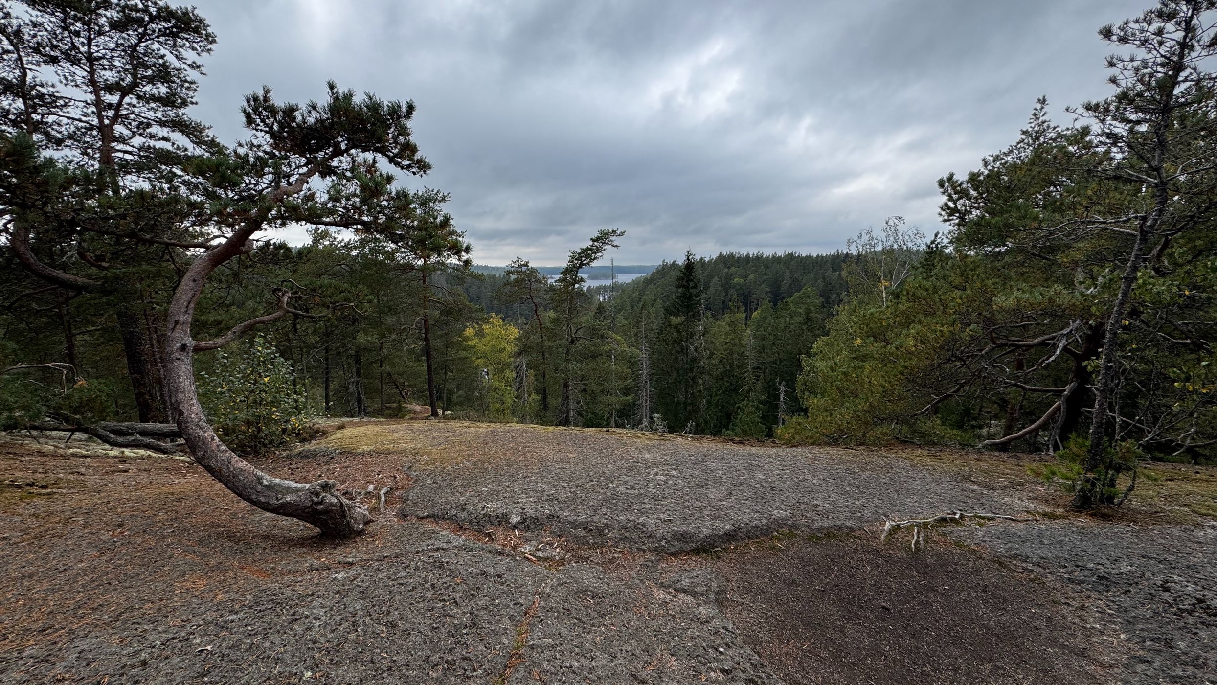
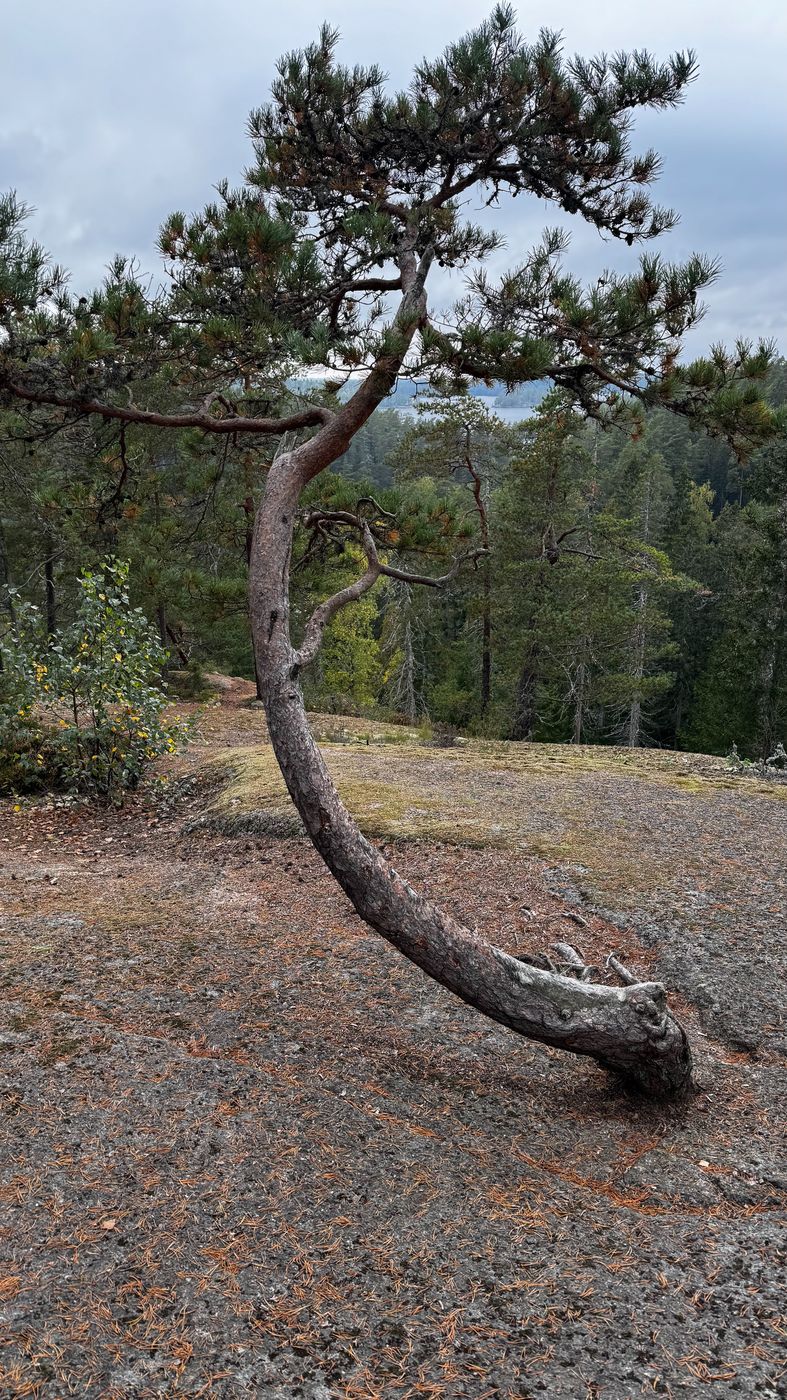
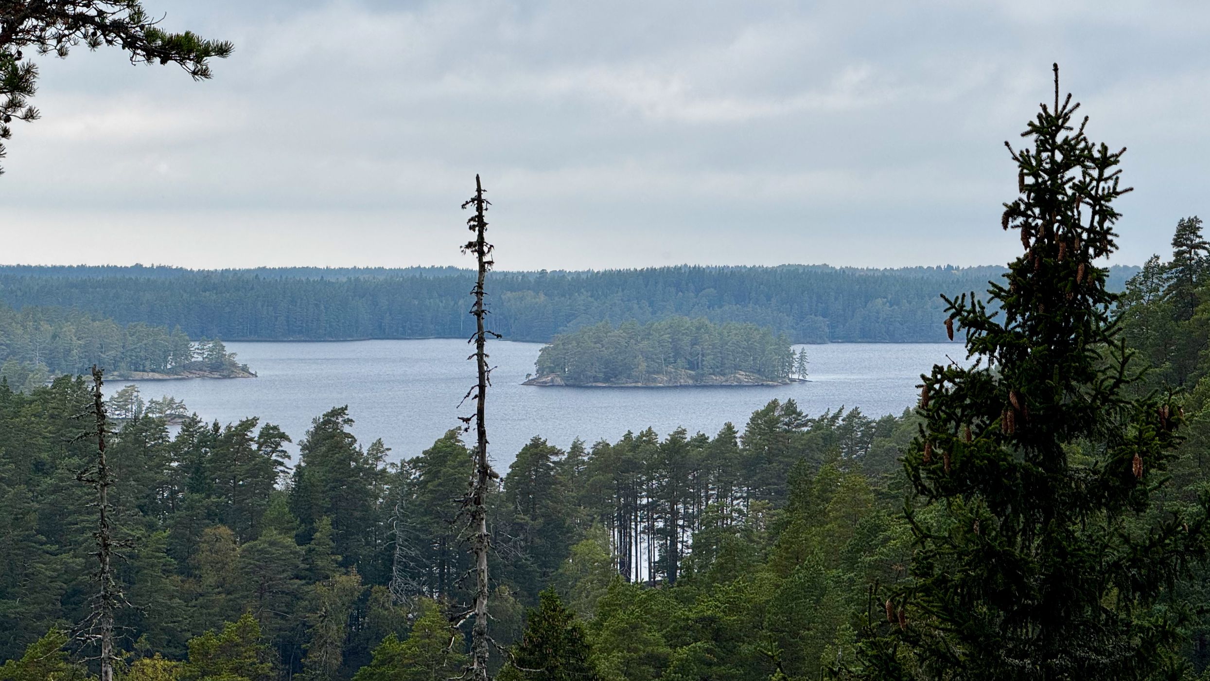
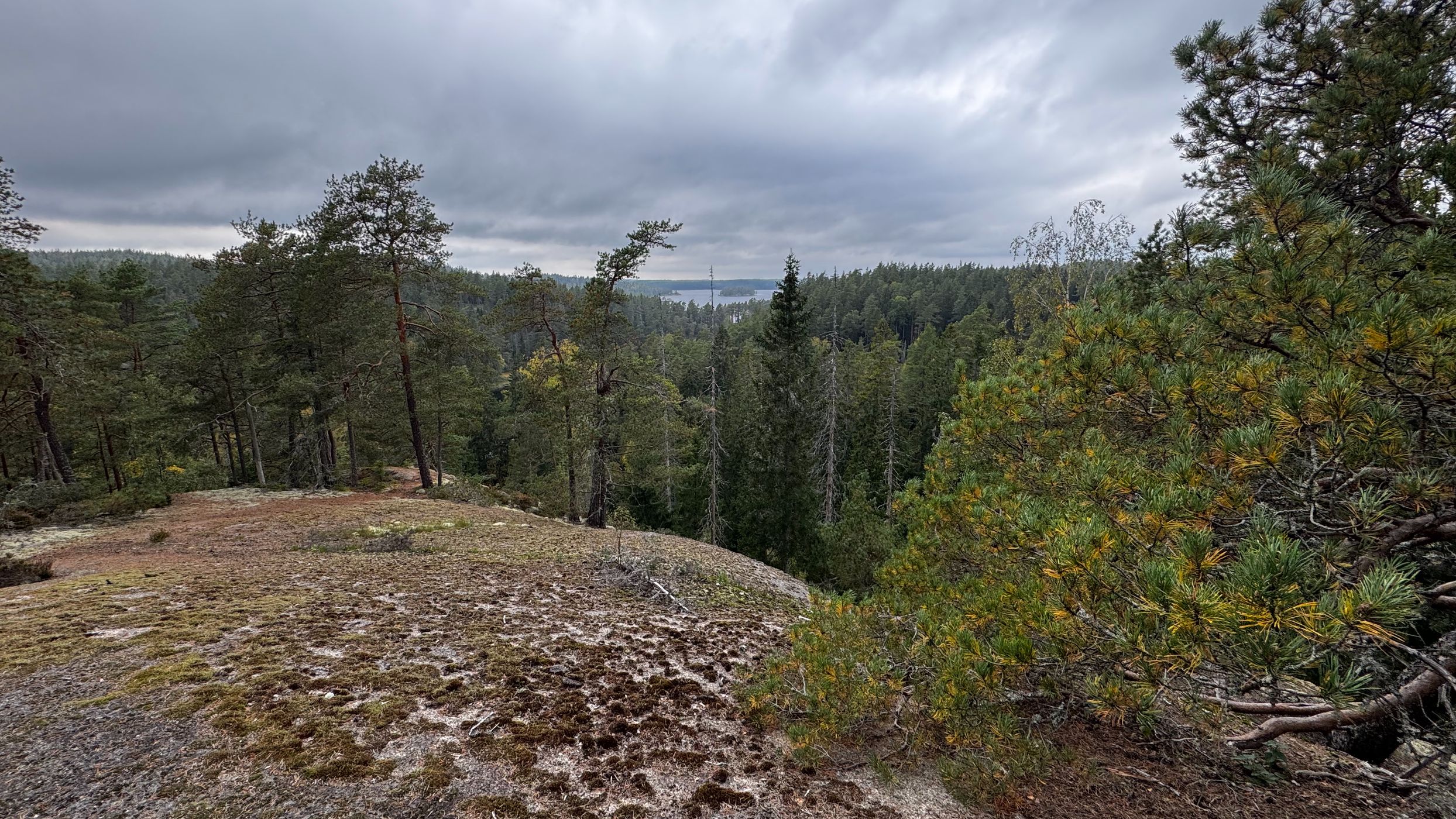
The Oxögaberg Trail takes you on a slightly longer trek through the Tiveden old-growth forests, from mossy, wet spruce forests and marshy valleys to typical capercaillie forests and barren rocks. The most difficult stretch is between the main entrance and Stigmanspasset. The path winds in between rift valleys and faults that were formed a thousand million years ago during the continental shift. The Stigmanspasset pass is a typical rift. No one knows whether any bandits (stigman) in fact did pose a threat to passers-by in ancient times. Looking up, you will see how the inland ice sheet has smoothed the hilltops. Large boulders were broken off and transported by the ice. These so-called errant boulders ended up scattered around the landscape. The trail passes several small lakes and tarns. The water in these forest lakes is brown and low in nutrients. You will also pass a former tar-making ditch.
From the parking lot to the top is a short track so you don't need to take the entire hiking route.
In Tiveden National Park the forest is being allowed to evolve as natural forest. What is now growing here is a forest that has not been impacted by recent decades of large-scale forestry. Such a large contiguous area of old forest is very unusual in southern Sweden. The age and majesty of the forest and the wild configuration of the landscape is what gives this national park its character.
Tiveden National Park has an area of 2 030 hectares. It has 34 kilometers of marked hiking trails offering walks of 0,9 to 9,5 km. The hilly terrain and abundance of boulders make for stimulating but demanding hiking.
(https://www.sverigesnationalparker.se/)
Photography Tips
Make sure you have a bright day to make advantage from the panoramic view at the top of Oxaberget. Sunset and sunrise might bring you the best light conditions. Take a tripod with you.
Travel Information
The easiest way to get to the Tiveden National Park is from the south, from highway 49 between Karlsborg and Askersund.
The national park can also be reached by following signs from Askersund in the north-east and from E20 by Finnerödja and Laxå in the north-west.
Parking lots are free of charge. Follow the signs and park your car where your type of vehicle is allowed otherwise you might get a ticket!
The national park can also be reached by following signs from Askersund in the north-east and from E20 by Finnerödja and Laxå in the north-west.
Parking lots are free of charge. Follow the signs and park your car where your type of vehicle is allowed otherwise you might get a ticket!
Spot Type
Outdoor
Crowd Factor
Just a few people
Best Timing
Sunset
Sunrise & Sunset
05:20 - 20:38
| current local time: 11:21
Photo Themes
boulders
Forest
Panorama
Locations
Tiveden nationalpark


Spot Comments (0)