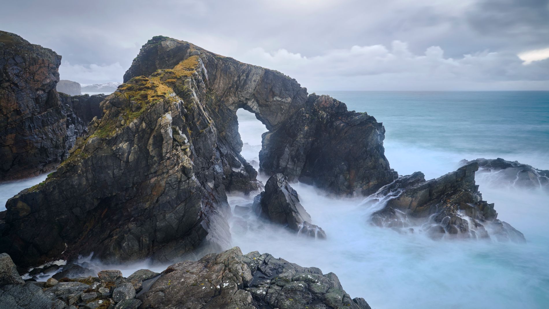
United Kingdom Stac a Phris Arch
An Arched sea stack. Very large and dynamic.
Photography Tips
It is not entirely safe to cross the scree on the slope to reach the plateau in front. From there, however, you have the best (unobstructed) view of the arch.
You will only need a wide-angle lens there. And, of course, a tripod with filters for long exposures.
Be careful taking a photo here Conditions can be harsh.
You will only need a wide-angle lens there. And, of course, a tripod with filters for long exposures.
Be careful taking a photo here Conditions can be harsh.
Travel Information
If you enter “Stac a' Phris Arch” on Google Maps, you will be taken to this dead end (geodata: 58.326544, -6.707834). You can park your car there if there is nothing going on.
There is no signpost, but you will reach the hiking route via the agricultural road, which is marked with green wooden posts in the fields. Keep diagonally left or southwest.
When you leave the path, the route takes you over partly muddy ground and I recommend waterproof shoes or wellies. At least that was the best choice when the weather kept raining.
You can reach the arch in 20-25 minutes.
Spot Type
Outdoor
Crowd Factor
Nearly no other people
Best Timing
Daytime in summer
Sunrise & Sunset
06:00 - 20:51
| current local time: 02:06
Photo Themes
coast
Long Exposure
Rugged Coastline
Locations
Atlantic Ocean
Isle of Lewis
Stac a Phris Arch


Spot Comments (0)