USA Sweet Creek
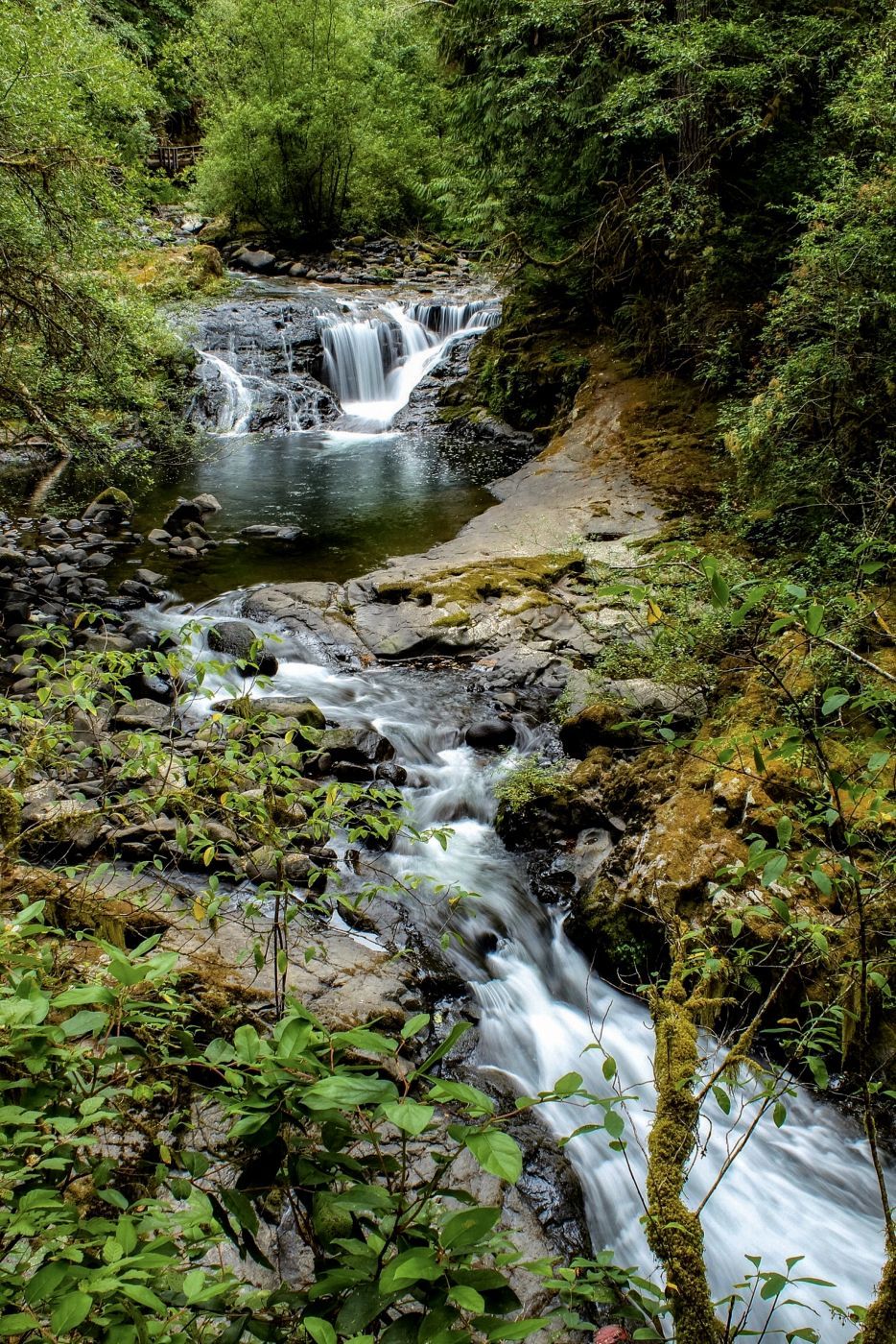
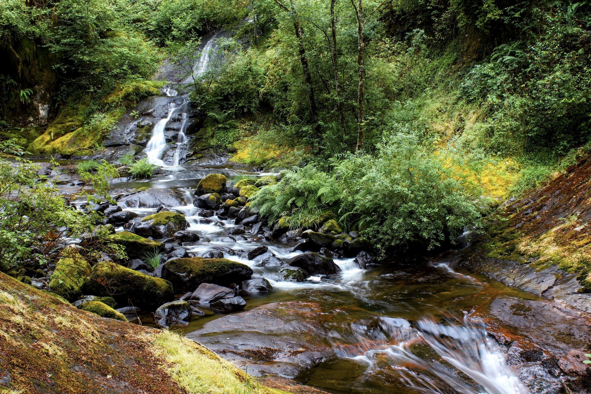
There are many waterfalls and cascades along the waterway.
Photography Tips
The thick forest canopy shields much of Sweet Creek from direct sunlight. I wore water shoes and neoprene socks so I could stand in the middle of the shallow creek In many places. Lots of places in the creek with a hard rock bottom, so I used a tripod in the creek a lot for better compositions. In the summer there are LOTS of mosquitos, so is wise to use repellent.
Travel Information
From Hwy 101 in Florence, Oregon head East on Highway 126 to the Siuslaw River Bridge in Mapleton (15 miles east of Florence or 46 miles west of Eugene). Cross the bridge from town and immediately turn west on Sweet Creek Road for 10.2 paved miles. Then take a paved turnoff to the right to the Homestead Trailhead turnaround. From the Homestead Trailhead, the graveled path heads upstream past a split, 10-foot waterfall. Later, the trail hugs a cliff through a canyon full of punchbowl-shaped falls. After 0.7 mile a path from a second trailhead joins on the left. Continue upstream 0.4 mile to a cliff-edged plunge pool at the base of 20-foot Sweet Creek Falls. A spur trail switchbacks up 150 yards to a viewpoint of an upper falls in a thundering slot. This photo is one of many cascades along the river way.
If you'd like to explore the valley's upper reaches, hike back to your car and drive the paved road 1.3 miles beyond the Homestead Trailhead. Just after a bridge, park at the Wagon Road Trailhead on the left.
If you'd like to explore the valley's upper reaches, hike back to your car and drive the paved road 1.3 miles beyond the Homestead Trailhead. Just after a bridge, park at the Wagon Road Trailhead on the left.
Spot Type
Outdoor
Crowd Factor
Just a few people
Best Timing
Daytime in summer
Sunrise & Sunset
06:54 - 19:44
| current local time: 23:57
Photo Themes
Forest waterfall
Locations
Oregon


Spot Comments (0)