USA Opal Creek Trail
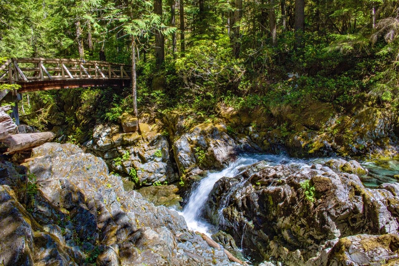
The 6.6 mile hike through lush old growth forest offers numerous photo opportunities along the brilliant turquoise waters of the Little North Santiam River and Opal Creek. This shot was taken from a bridge crossing Little North Santiam. En route, you’ll pass Sawmill Falls which could be a destination all it’s own.
Photography Tips
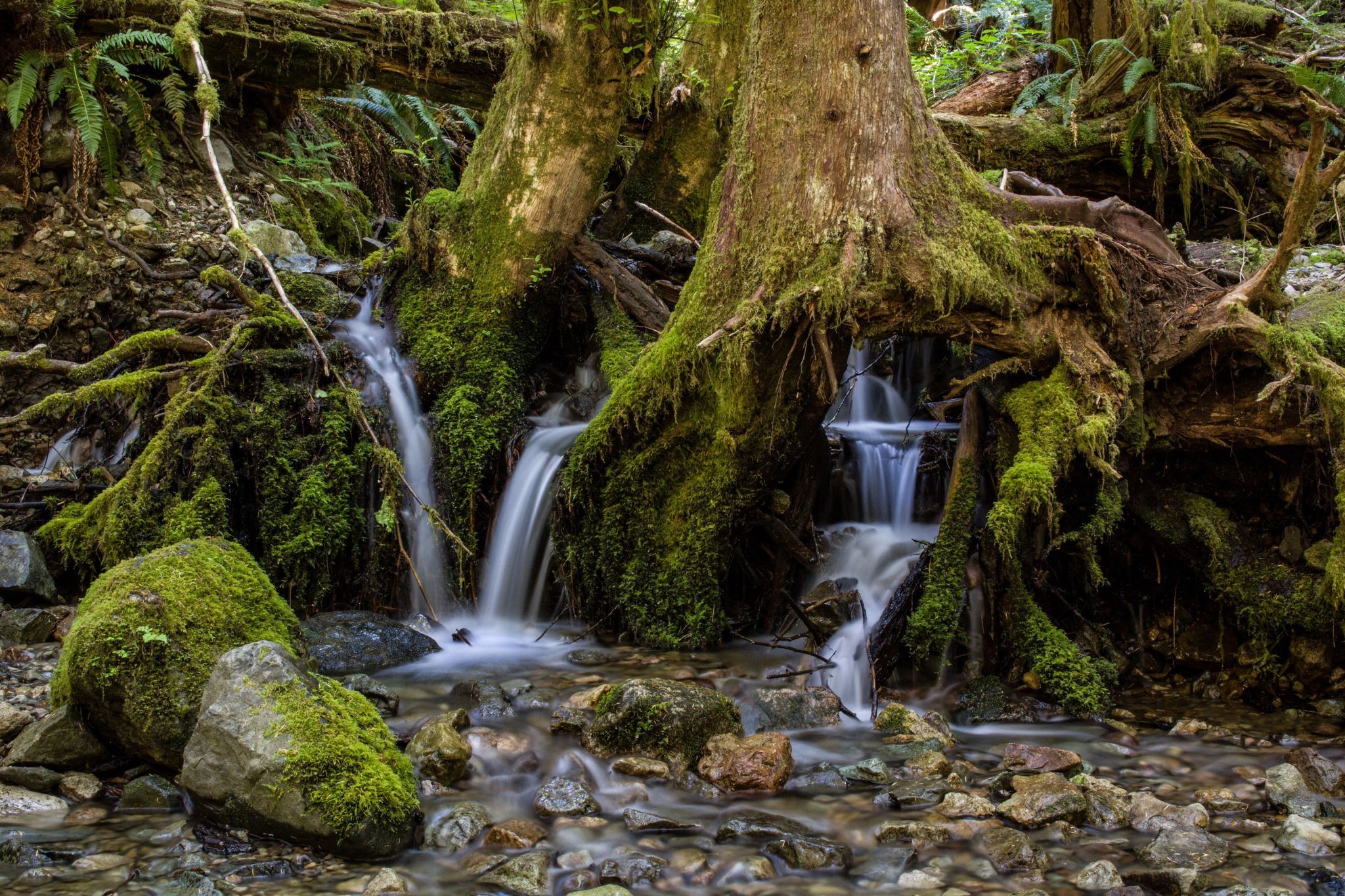
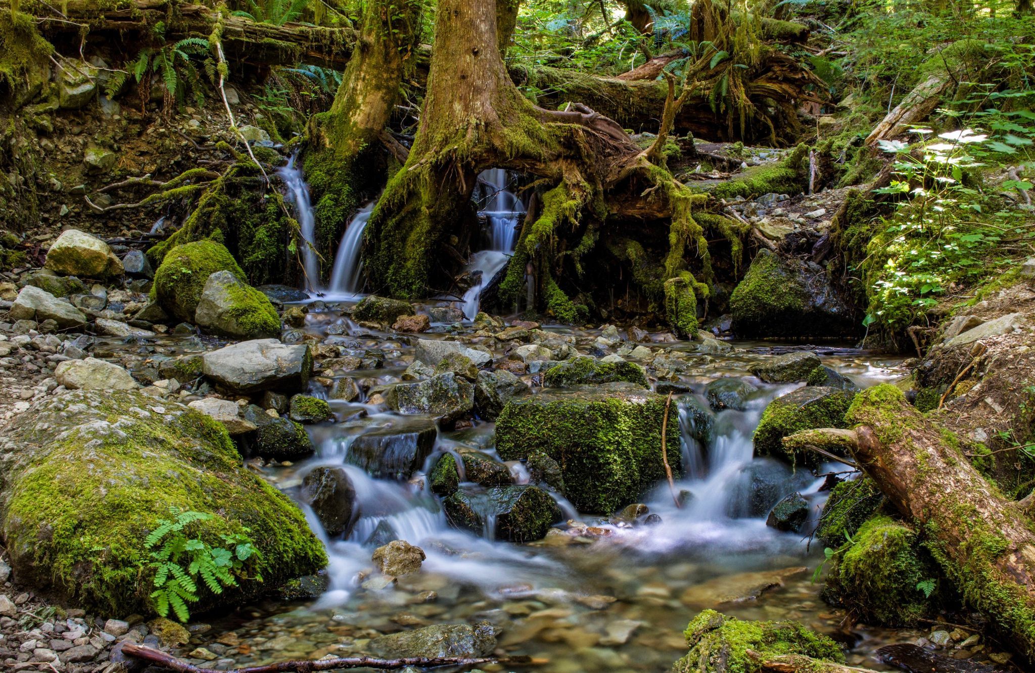
Polarizing and Neutral Density filters will be very helpful. The shallow water and rocky bottom of Opal Creek is highly photogenic. The color of the water is breathtaking.
Travel Information
From Salem, drive east on North Santiam Highway 22 for 23 miles to Mehama’s second flashing yellow light. Turn left on Little North Fork Road for 15 paved miles and 1.3 gravel miles. Go left at the fork onto Road 2209 and continue 4.2 miles to a locked gate and park. This hike begins on a gravel road, which residents of Jawbone Flats can drive on but visitors must park and walk. It crosses Gold Creek on a 60-foot-high bridge, then skirts the cliffs above the Little North Santiam River and through an old-growth forest. While walking through Jawbone Flats you may see old rusting vehicles, mining equipent, and restored cabins. Two miles in you’ll reach Mertern Mill and see some of the machinery left behind from the area’s mining days. Continue 0.2 miles past the mill and go right at the fork, cross a 100-foot bridge, and then keep left for the Opal Creek Trail. After a mile there will be a sign pointing to Opal Pool’s scenic gorge.
Spot Type
Outdoor
Crowd Factor
A decent amount of people
Best Timing
Sunrise in spring
Sunrise & Sunset
06:11 - 20:03
| current local time: 10:16
Photo Themes
Waterfall
Locations
Oregon


Spot Comments (0)