USA Many Pools
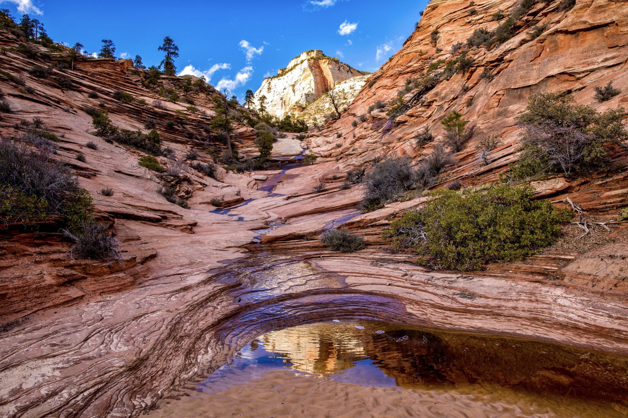
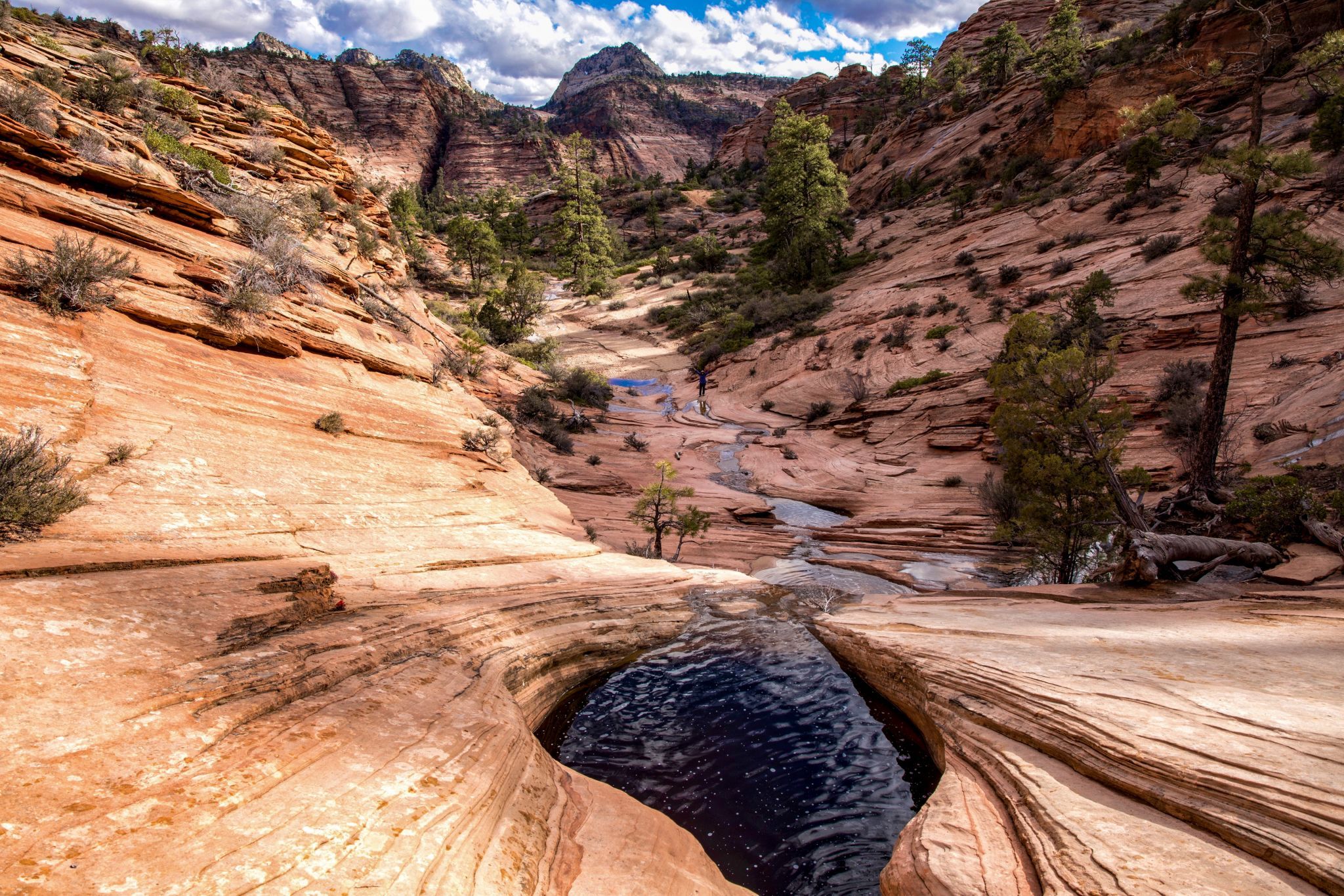
Called "Many Pools" due to the water pockets you encounter up the wash. Alternatively called Root Canal because of the way the area looks on a topo map. We typically hike about a mile or so uphill through the slickrock to an alcove and turn around. After a heavy rain, the water pockets fill and water cascades down the canyon from one pool to the next. Very pretty. If you're comfortable hiking on slick rock, there are some cool hoodoos and great views from the top of the Slickrock formation on the right side (heading up the canyon) of the wash.
Photography Tips
Be on the lookout for bighorn sheep. They’re common on the east side of Zion.
Travel Information
After driving east through the 1.1-mile long Zion-Mt. Carmel Tunnel, you’ll encounter another short tunnel. After exiting that tunnel, drive .8 miles east to a large pullout with room for 8 to 10 vehicles. Park there and walk east about 50 feet before crossing the road and dropping down into the wash (left side of the road). Be careful as you walk along the road as there is no real walking path and there is some exposure to the Pine Creek drainage just off the road. Vault toilets were recently installed at the pullout. The pullout also provides easy access to (normally dry) Pine Creek and several short and narrow but very photogenic slot sections.
Spot Type
Outdoor
Crowd Factor
Nearly no other people
Best Timing
Sunrise
Sunrise & Sunset
06:13 - 20:57
| current local time: 20:44
Photo Themes
Sandstone Water Pockets
Locations
Zion National Park


Spot Comments (0)