589 photos in 216 spots
- Show
- all photos
- only best photo/spot
- Order by
- Popularity
- Newest
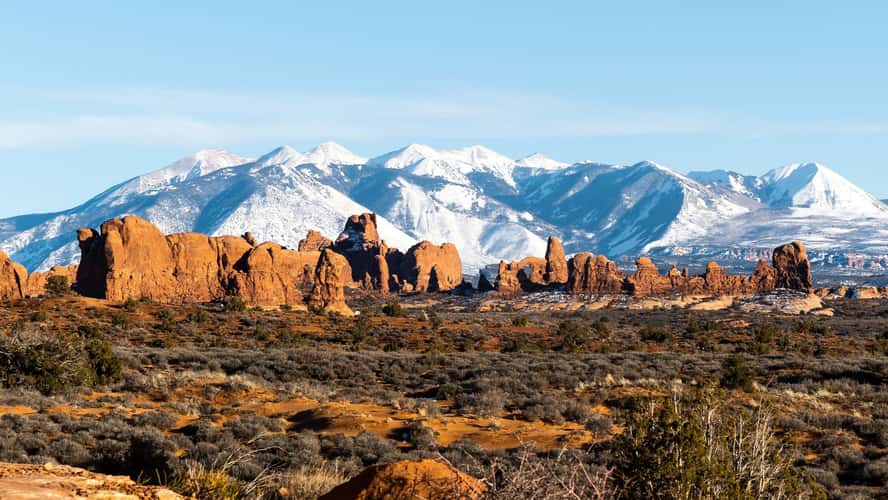
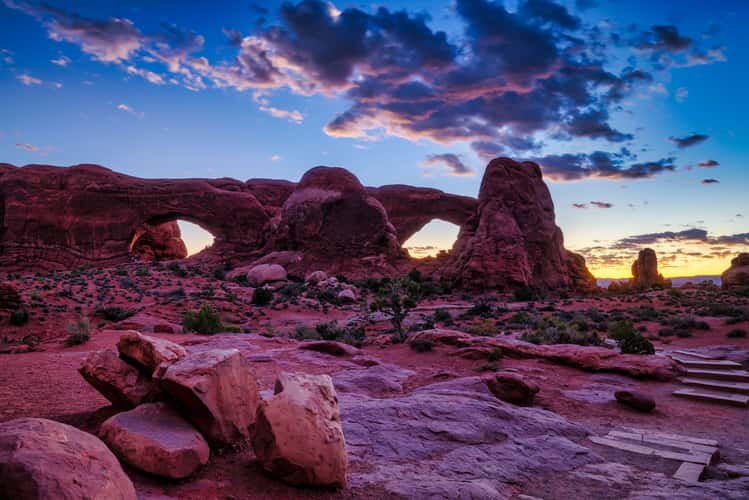
The Windows Section in Arches NP
220.61 km to location
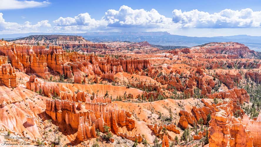
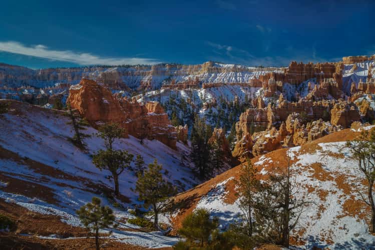
Bryce Canyon - from Sunset Point
134.04 km to location
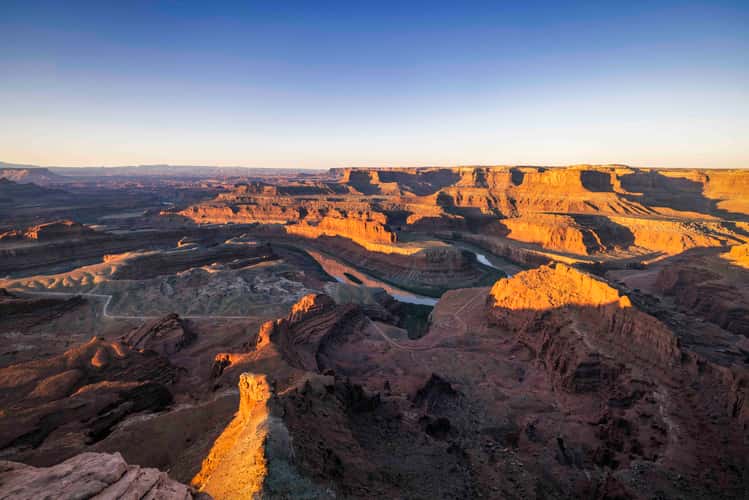
Dead Horse Point, Utah
207.99 km to location
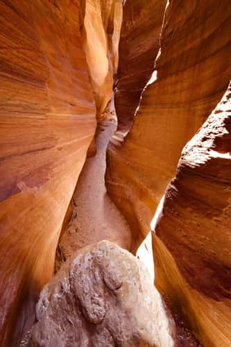
Wire Pass
200.9 km to location
Hurricane Mesa
205.64 km to location
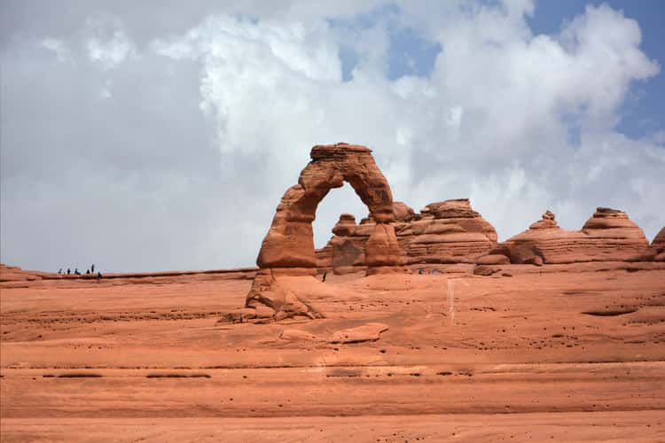
Upper Delicate Arch Viewpoint
224.69 km to location
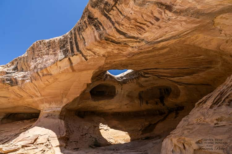
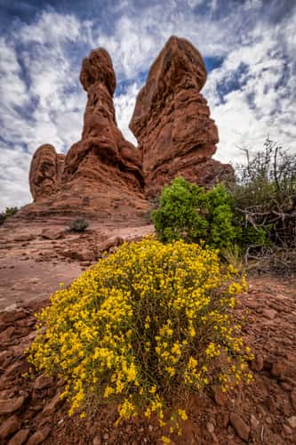
Wild Horse Window
124.24 km to location
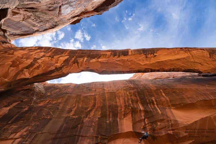
Morning Glory Bridge, Arches Nationa Park
225.5 km to location
Bryce Canyon Sunrise Point
133.41 km to location
Balanced Rock, Arches National Park, Utah
219.21 km to location
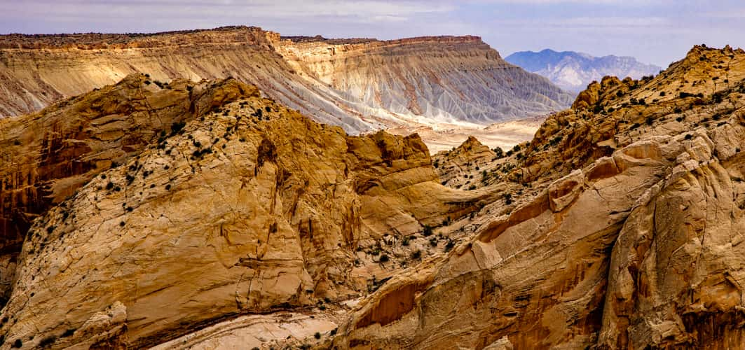
Burr Trail Switchbacks
143.07 km to location
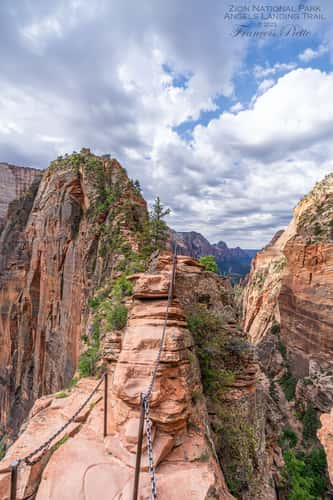
Angels Landing, Zion National Park, Utah
188.65 km to location
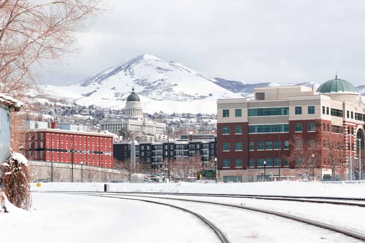
S600 West Salt Lake City
216.35 km to location
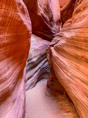
Peekaboo Canyon Kanab
187.63 km to location
Locomotive Point
114.35 km to location
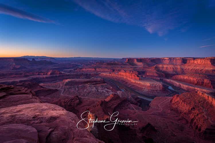
Dead Horse Point sunrise
207.9 km to location
Kathline Rock
129.65 km to location
Upper Inspiration Point Bryce Canyon
134.96 km to location
Onaqui Mountain Herd Management Area
159.39 km to location
Pine Tree Arch, Arches National Park,Moab, Utah
215.98 km to location
North and South Window Arch
222.25 km to location
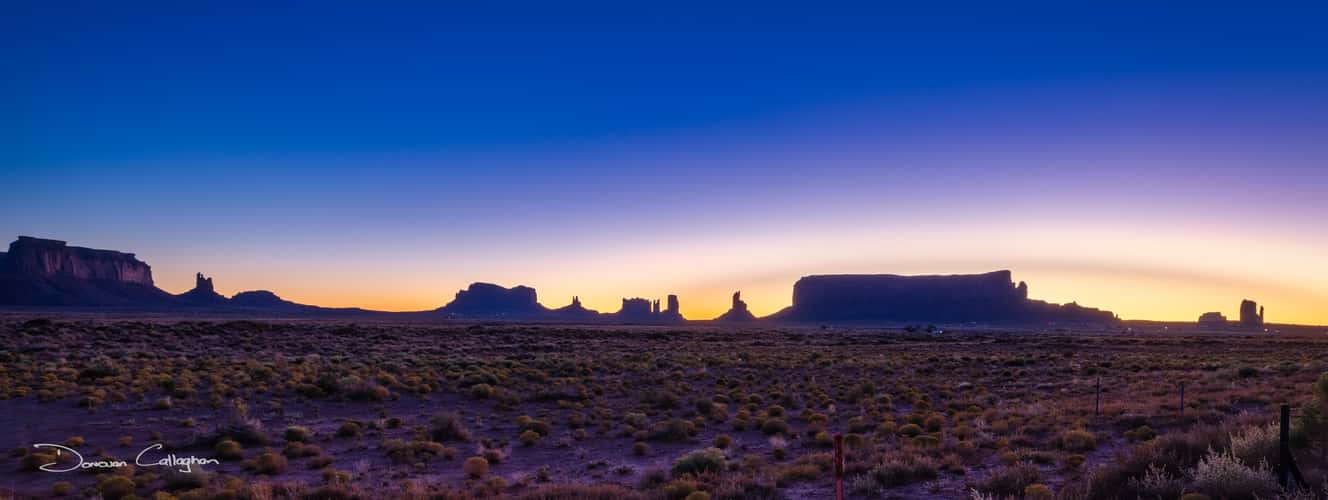
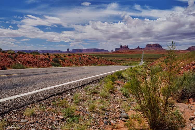
Outside the Park, Monument Valley, Utah
264.66 km to location
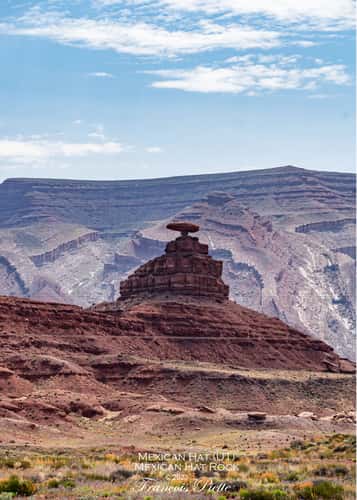
Mexican Hat Rock
268.2 km to location
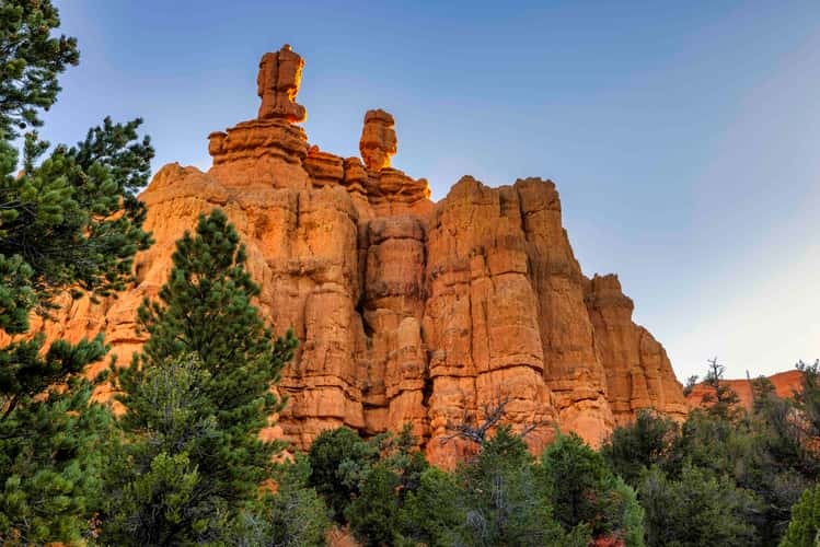
Pink Ledges Trailhead, Red Canyon, Utah
121.8 km to location

Look at Sun Set Point
133.64 km to location
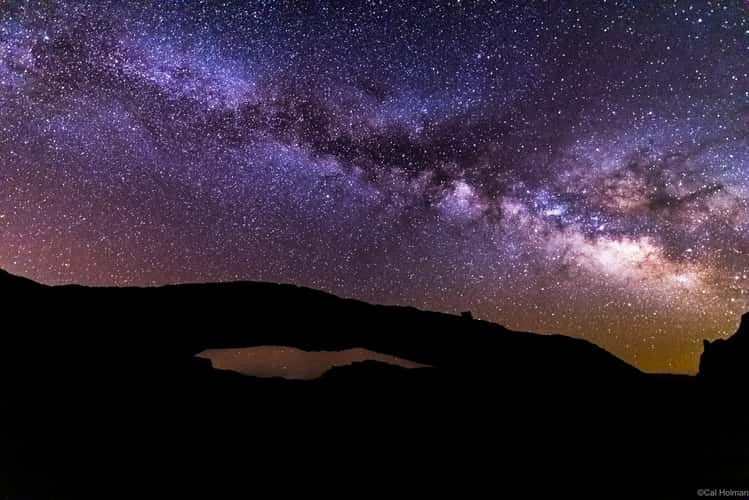
Monument Valley - Mile Marker 13
269.86 km to location
Mesa Arch, Canyonlands National Park
199.6 km to location
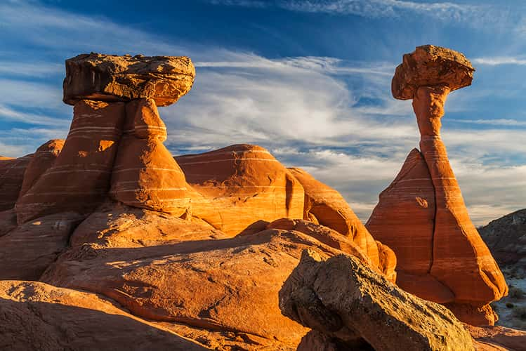
The Toadstool Hoodoos
192.09 km to location
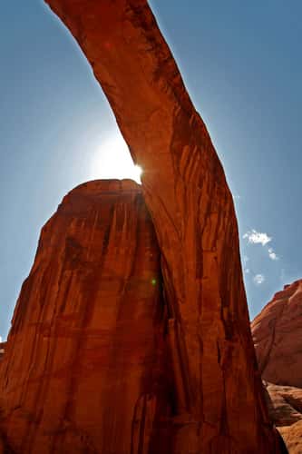
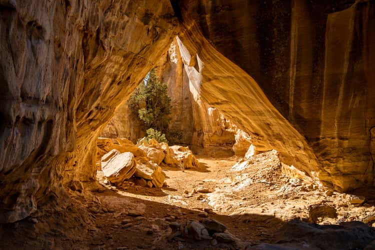
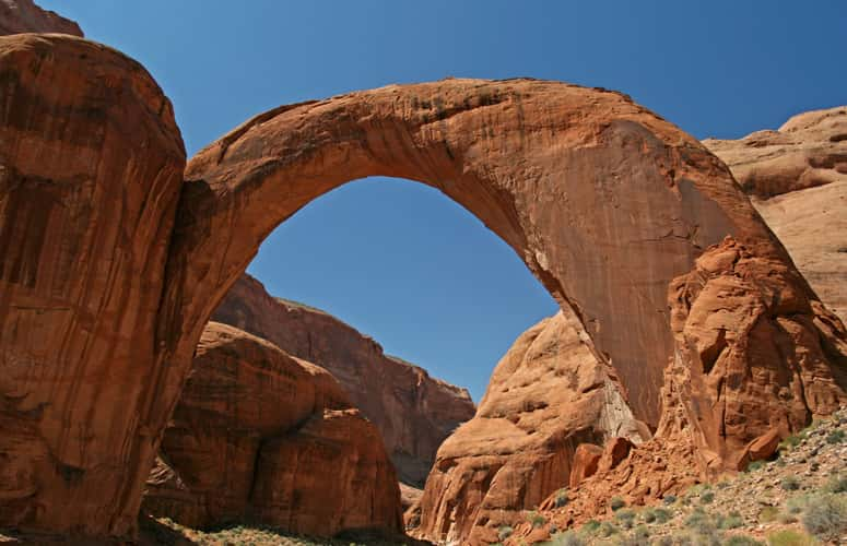
Rainbow Bridge National Monument
218.03 km to location
Rainbow Bridge National Monument
218.03 km to location