589 photos in 216 spots
- Show
- all photos
- only best photo/spot
- Order by
- Popularity
- Newest
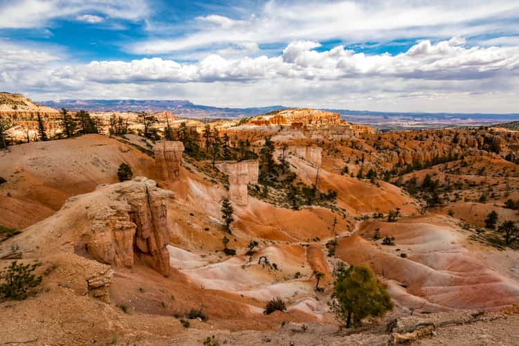
Sunrise Point, Bryce Canyon, Utah
133.35 km to location
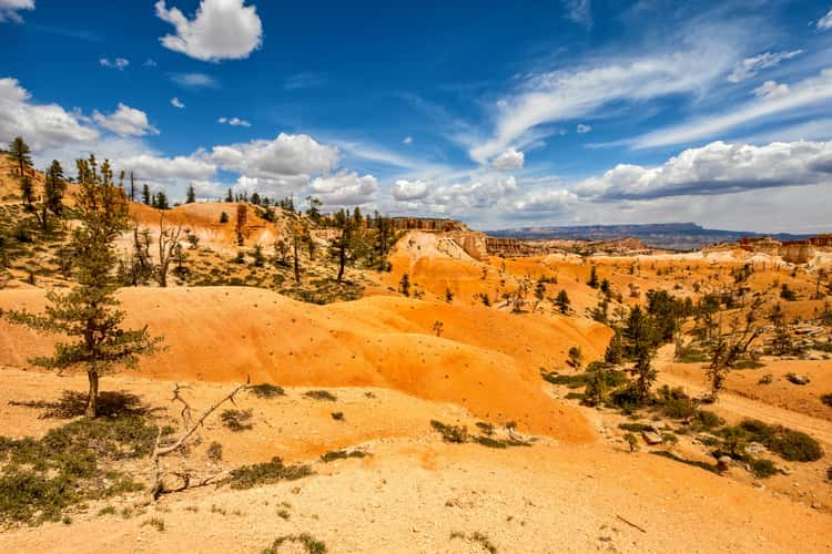
Sunrise Point, Bryce Canyon, Utah
133.35 km to location
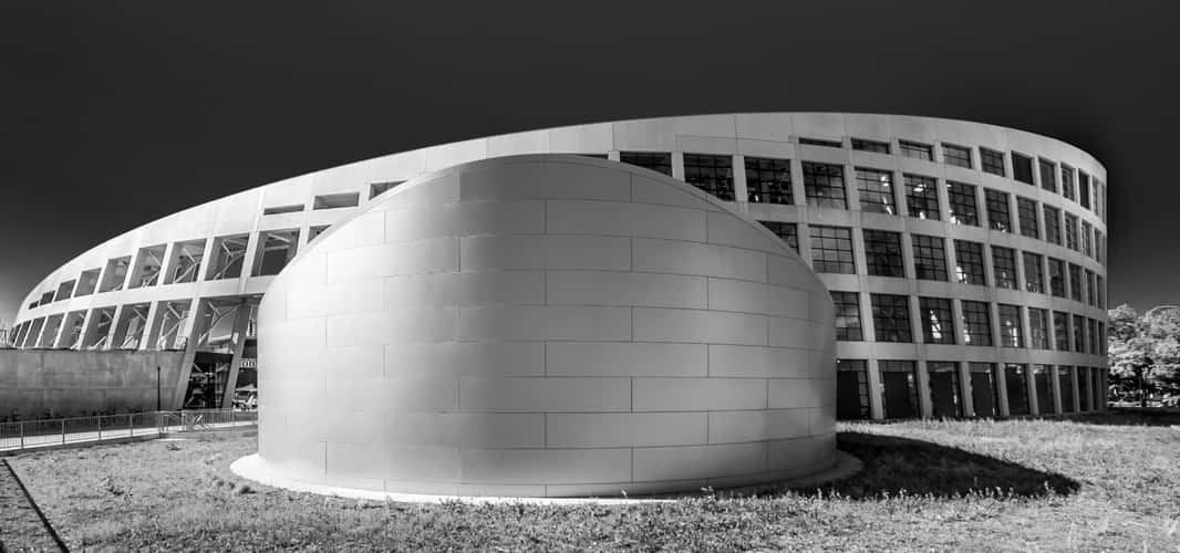
Salt Lake City Public Library
215.48 km to location
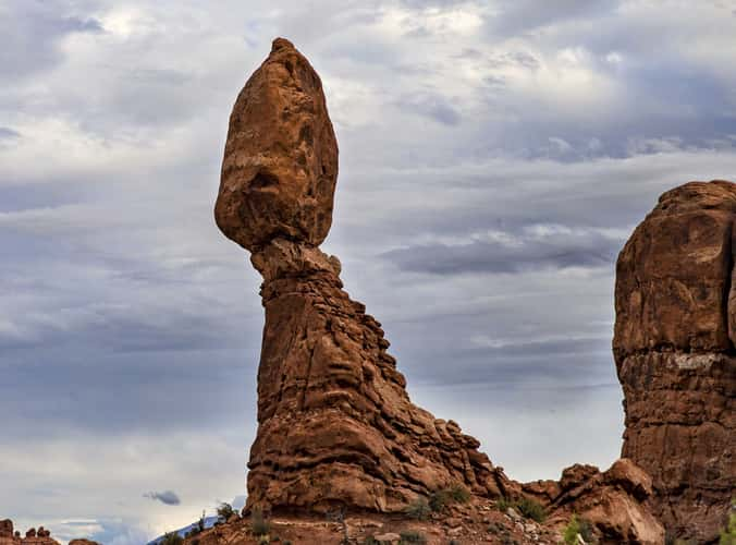
Balanced Rock, Arches National Park, Utah
219.21 km to location
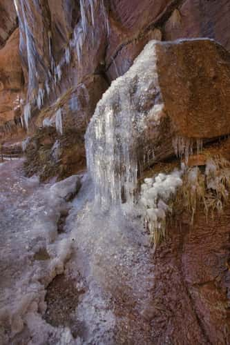
Emerald Pools
190.41 km to location
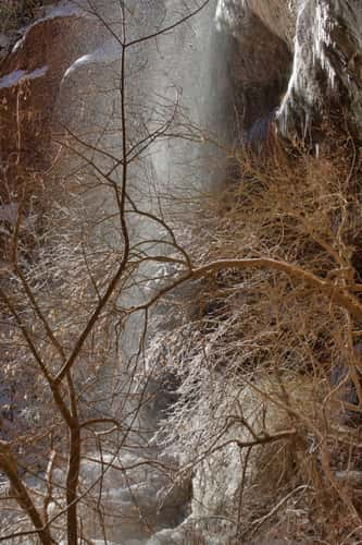
Emerald Pools
190.41 km to location
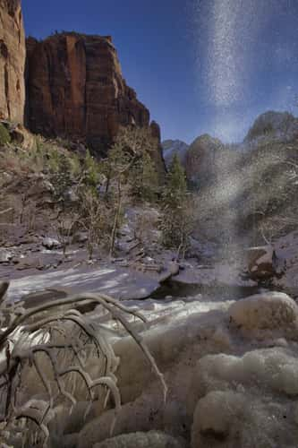
Emerald Pools
190.41 km to location
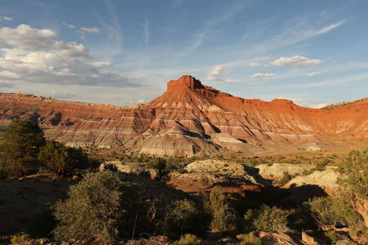
Paria Movie Set Parking Lot
177.14 km to location
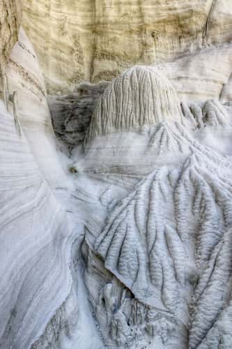
Wahweap Hoodoos
188.05 km to location
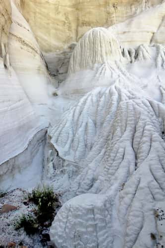
Wahweap Hoodoos
188.05 km to location
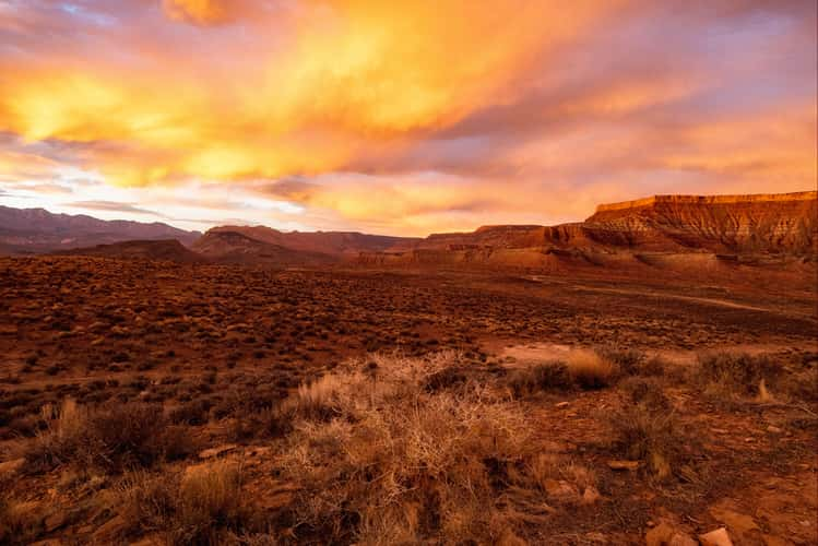
LaVerkin Overlook Road
207 km to location
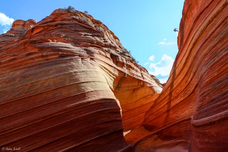
The Wave
203.69 km to location
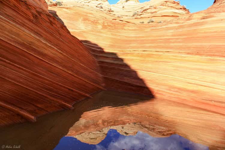
The Wave
203.69 km to location
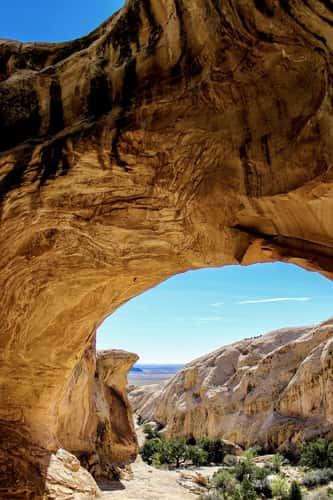
Wild Horse Window
124.25 km to location
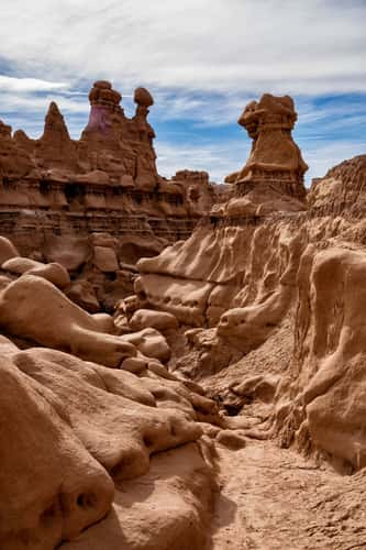
Valley 3, Goblin Valley State Park
124.61 km to location
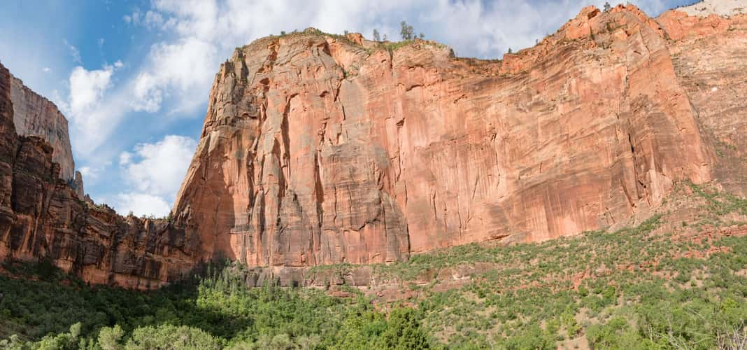
Zion Big Bend Viewpoint
188.25 km to location
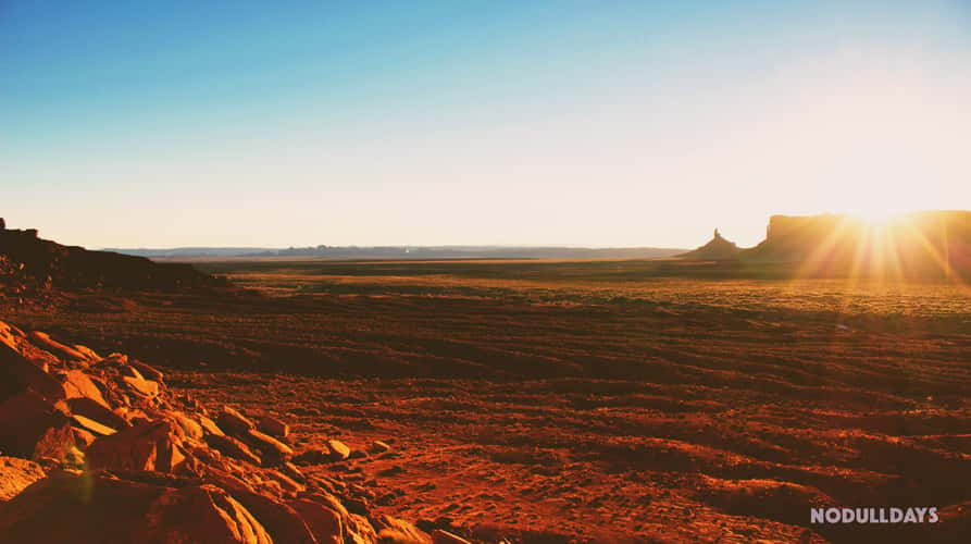
Monument Valley
261.58 km to location
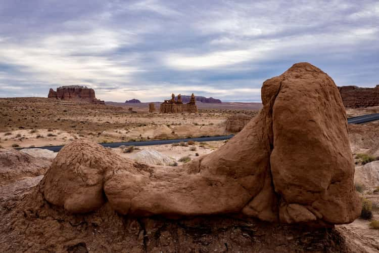
Goblin Valley State Park
123.7 km to location
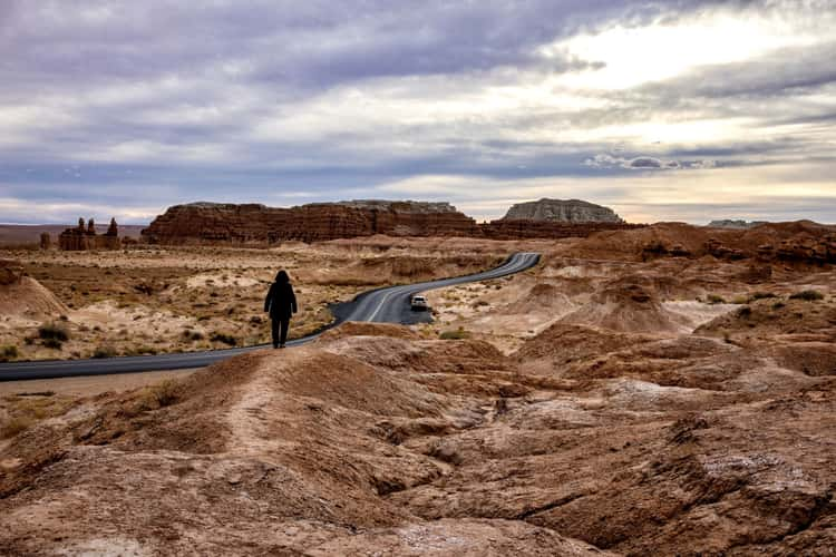
Goblin Valley State Park
123.7 km to location
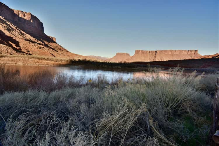
Red Cliffs Lodge
229.77 km to location
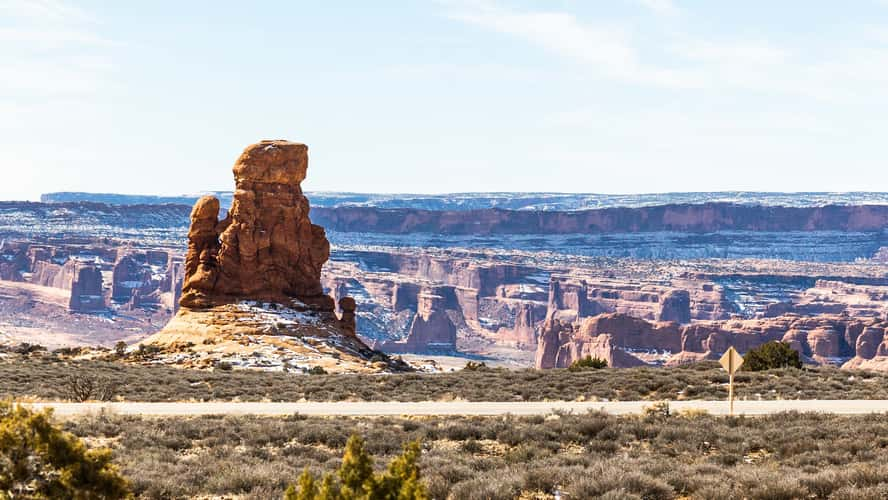
The Windows Section in Arches NP
220.61 km to location
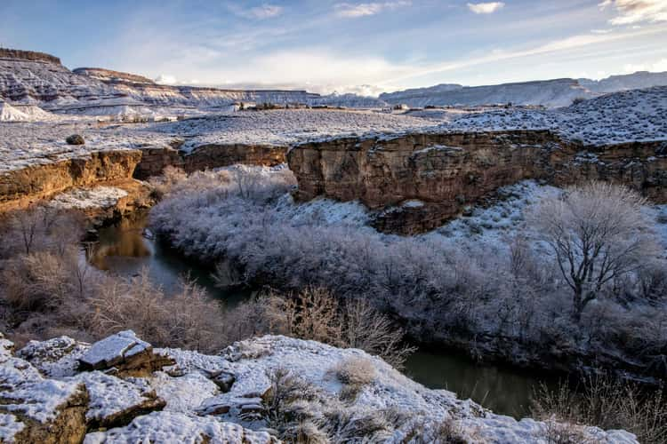
Virgin River Gorge
206.1 km to location
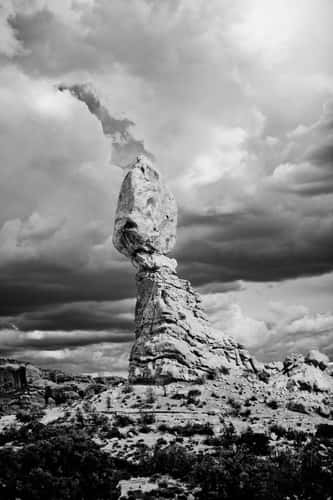
Balance Rock
219.47 km to location
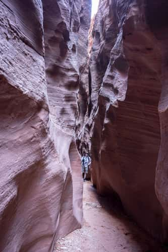
Wire Pass and Buckskin Gulch
201.24 km to location
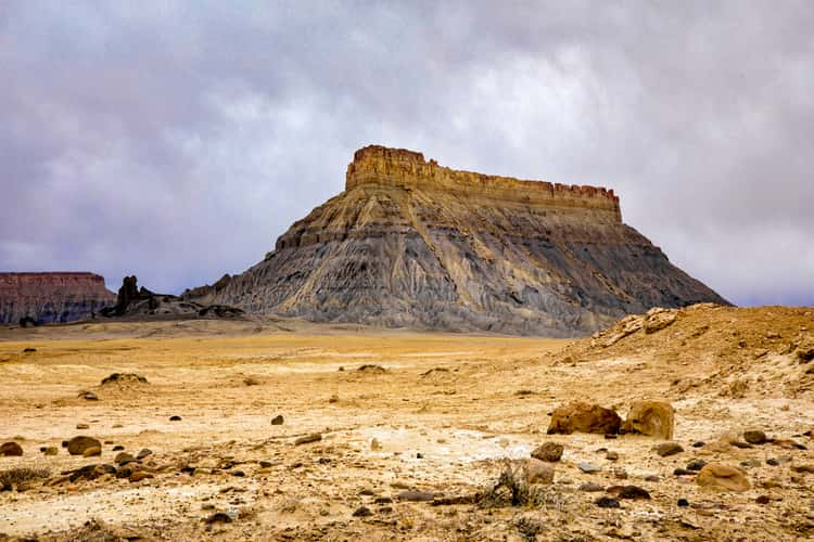
Factory Butte
111.6 km to location
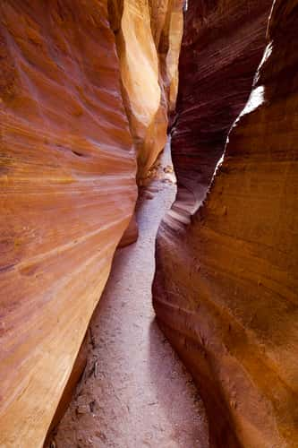
Wire Pass
200.9 km to location
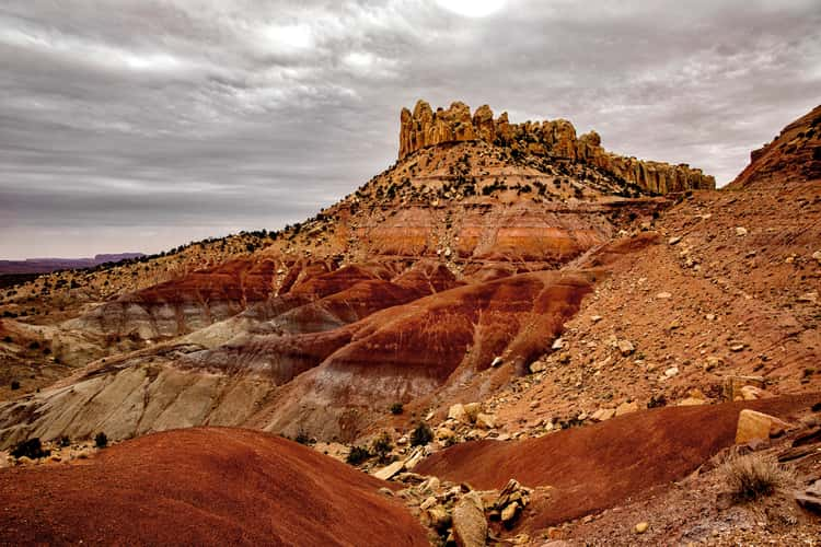
Burr Trail
125.3 km to location
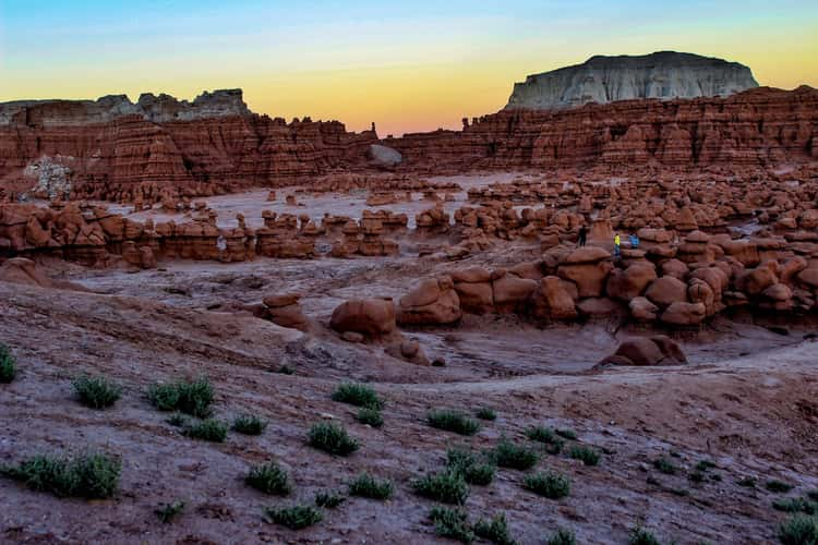
Goblin Valley
123.99 km to location
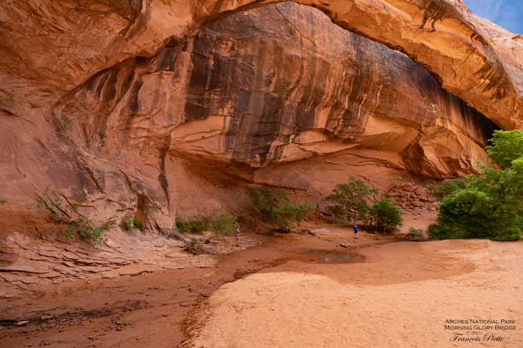
Morning Glory Bridge, Arches Nationa Park
225.5 km to location
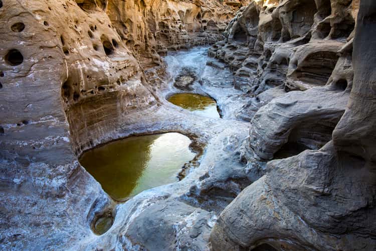
Neilson Wash
115.06 km to location
