589 photos in 216 spots
- Show
- all photos
- only best photo/spot
- Order by
- Popularity
- Newest
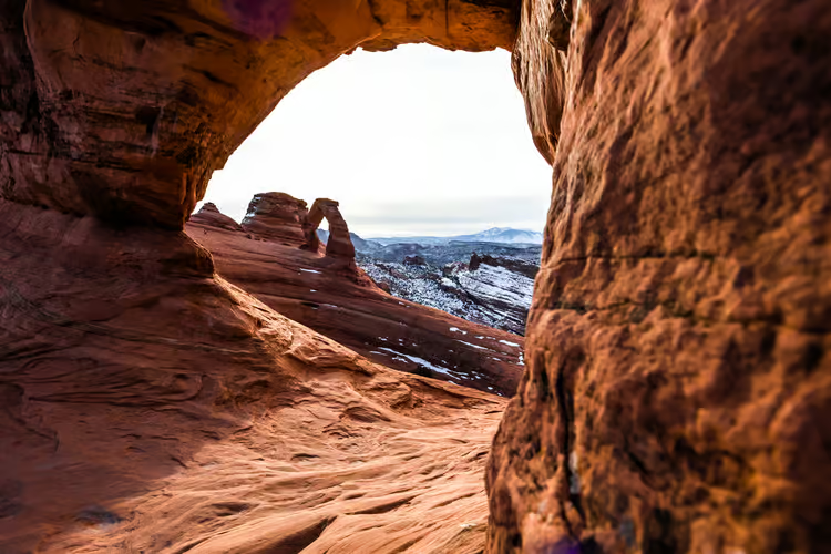
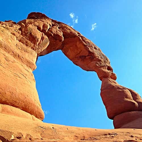
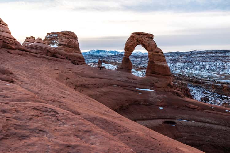
Delicate Arch (Window View)
224.66 km to location
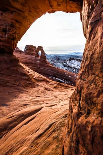
Delicate Arch (Window View)
224.66 km to location
Double Arch, Arches National Park, Moab
221.65 km to location
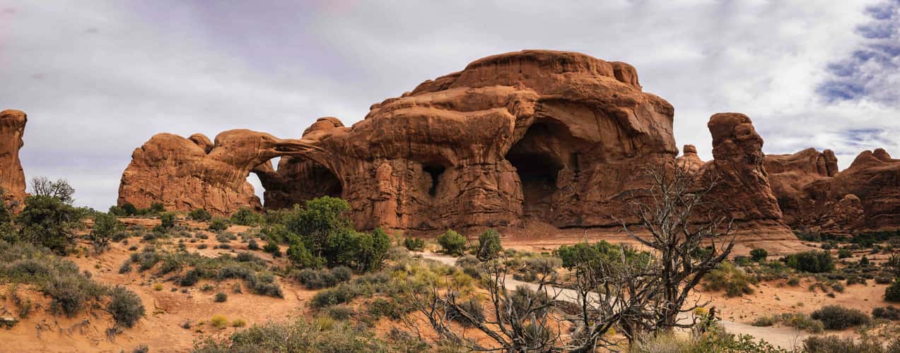
Double Arch, Arches National Park
221.68 km to location
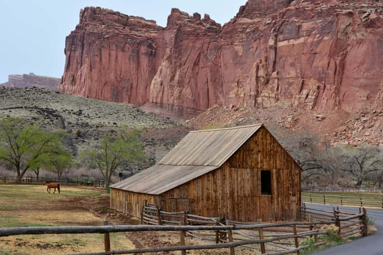
Fruita Barn
95.25 km to location
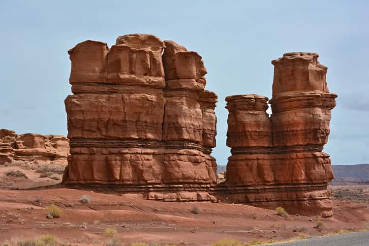
Rock Formation Capitol Reef
113.23 km to location
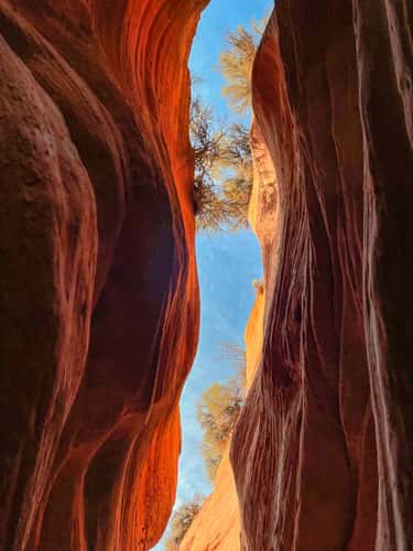
Peekaboo Canyon Kanab
187.63 km to location
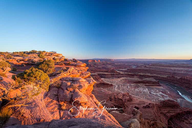
Dead Horse Point sunrise
207.9 km to location
From Upper Delicate Arch Viewpoint
224.82 km to location
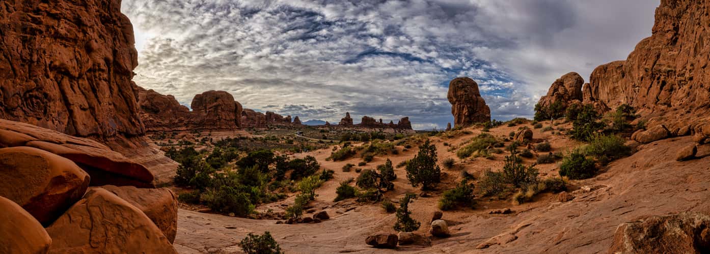
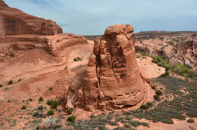
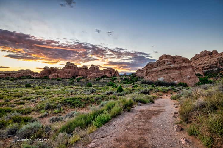
Devil`s Garden - Archs
216.46 km to location

Look at Sun Set Point
133.64 km to location
Sunrise western Springdale, Zion National Park, Utah
201.44 km to location
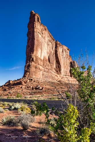
Tower of Babel, Arches Nat Park, Moab, Utah
216.8 km to location
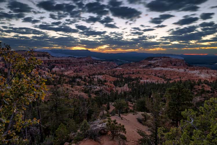
Rim Trail Sunrise Point Trailhead, Bryce Canyon, Utah
133.16 km to location
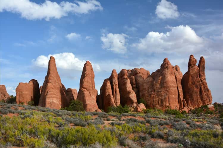
Tunnel Arch Trail, Arches National Park, Moab, Utah
216.14 km to location

Tree Scout Lookout, Zion National Park, Utah
188.18 km to location
Kolob Terrace Rd, Zion National Park, Utah
190.46 km to location
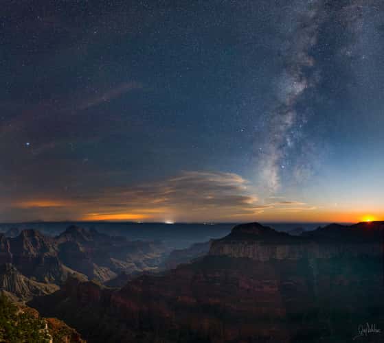
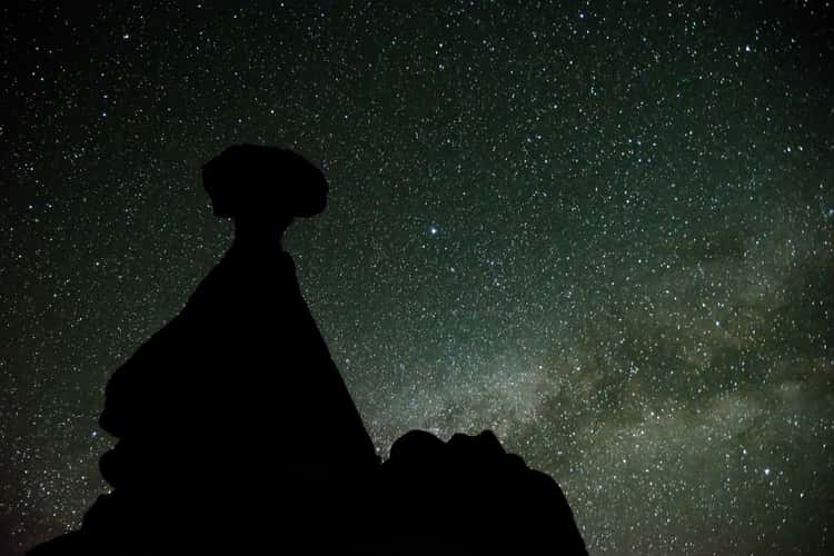
Grand Canyon North Rim under Milky Way
292.33 km to location
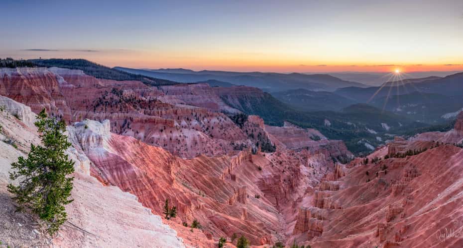
Cedar Breaks at sunset Utah USA
148.69 km to location
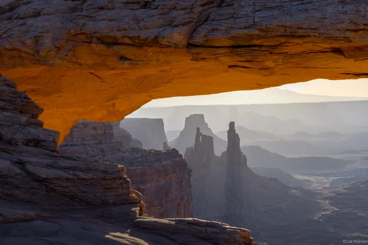
Mesa Arch, Canyonlands National Park
199.6 km to location
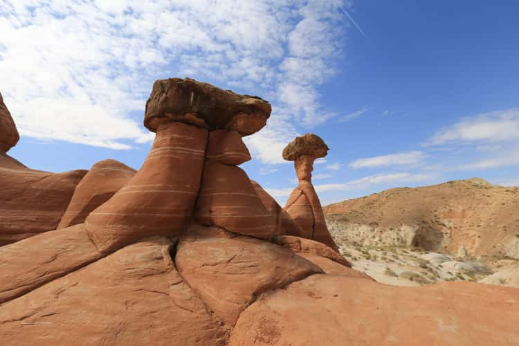
The Toadstool Hoodoos
192.09 km to location
The Toadstool Hoodoos
192.09 km to location

Mesa Arch, Canyonlands National Park
199.6 km to location
Delicate Arch
224.8 km to location
LaVerkin Overlook Road
207 km to location
Dead Horse Point, Utah
207.99 km to location
Dead Horse Point, Utah
207.99 km to location
Head of the Rocks Overlook
132.41 km to location
Delicate Arch
224.78 km to location
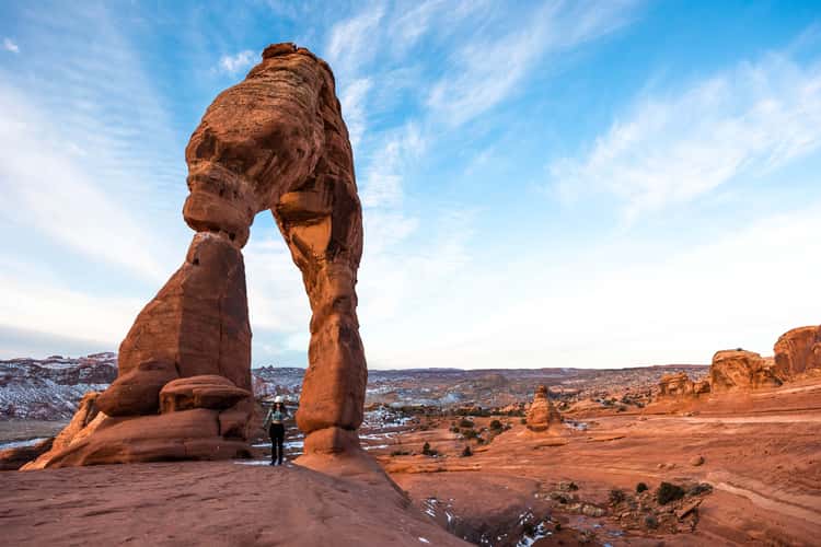
Delicate Arch
224.78 km to location