301 photos in 82 spots
- Show
- all photos
- only best photo/spot
- Order by
- Popularity
- Newest
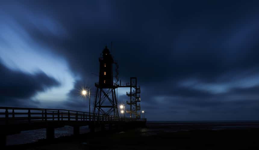
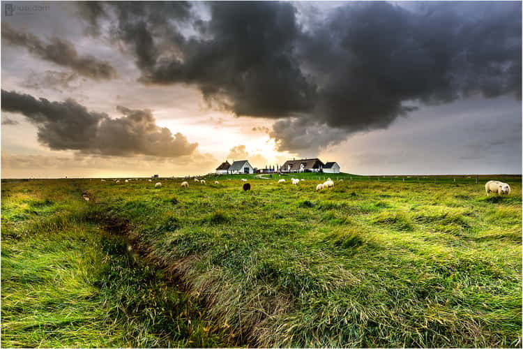
Obereversand
299.94 km to location
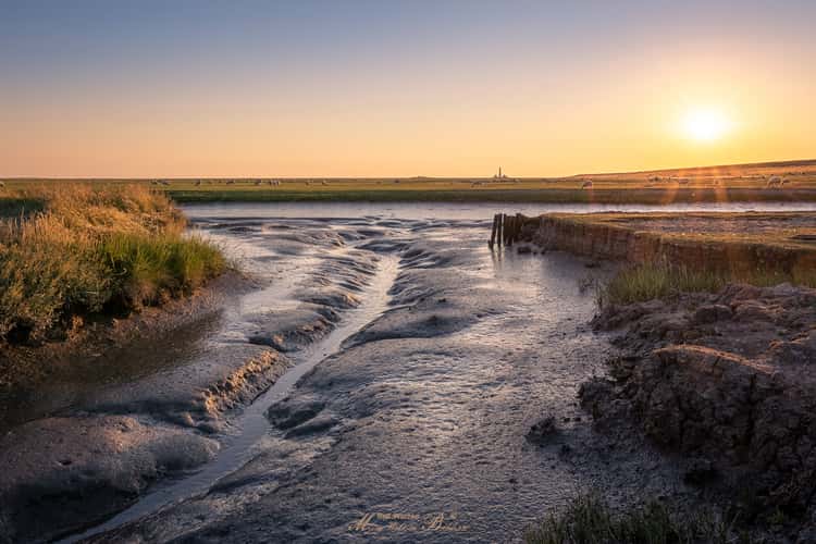
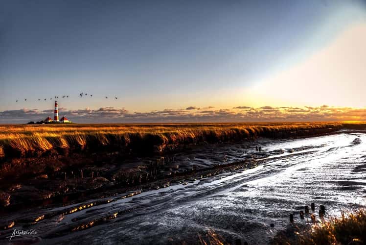
Warft Inferno (Westerheversand)
343.77 km to location
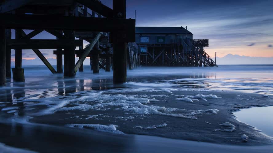
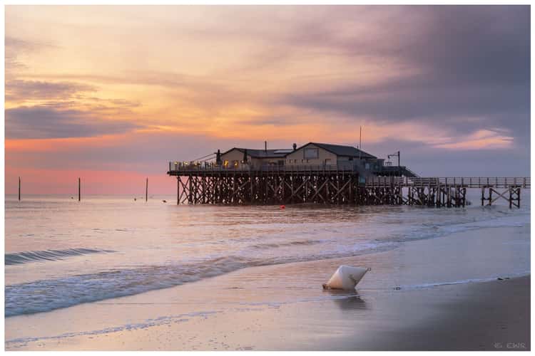
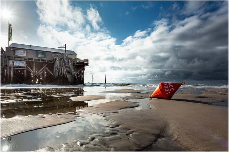
Beach Bar '54° Nord' Sankt Peter-Ording
338.1 km to location
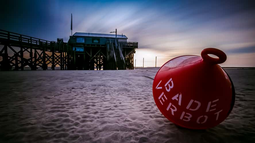
Beach Bar '54° Nord' Sankt Peter-Ording
338.1 km to location
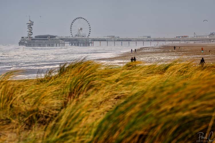
Northern Harbour Dam, The Hague
44.68 km to location
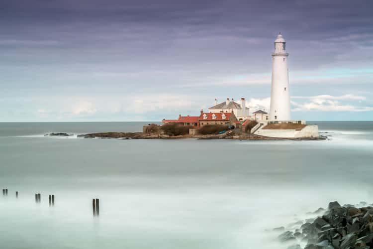
St Mary's Lighthouse
489.37 km to location
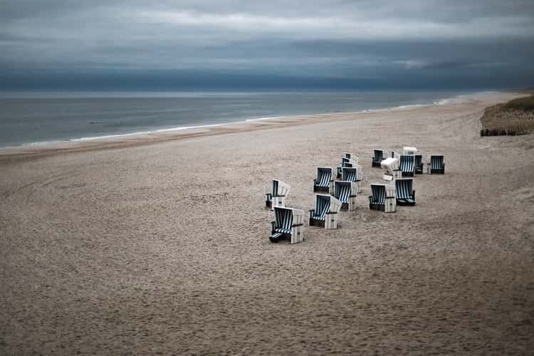
Kampen Beach, Sylt
372.67 km to location
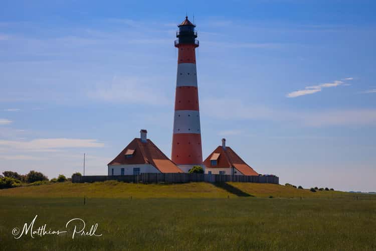
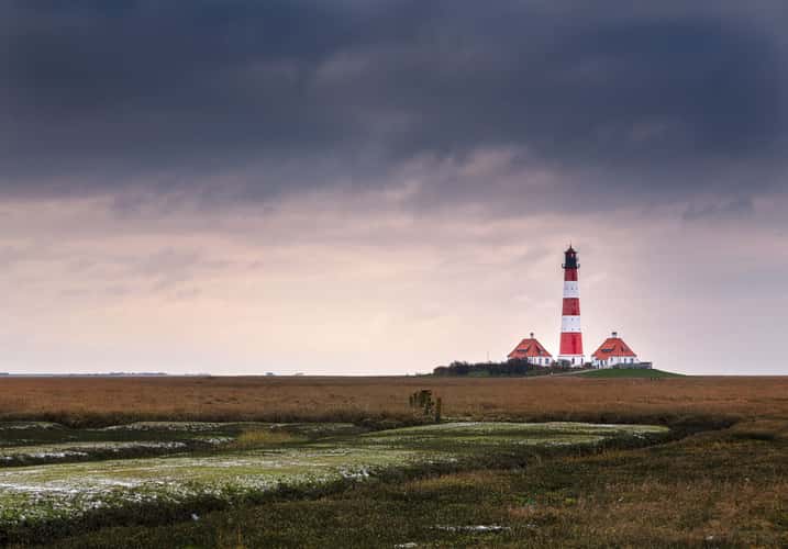
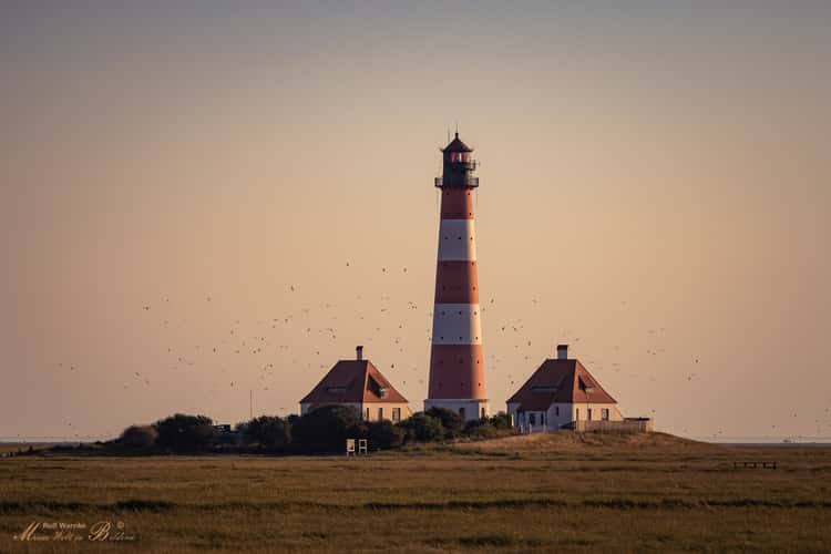
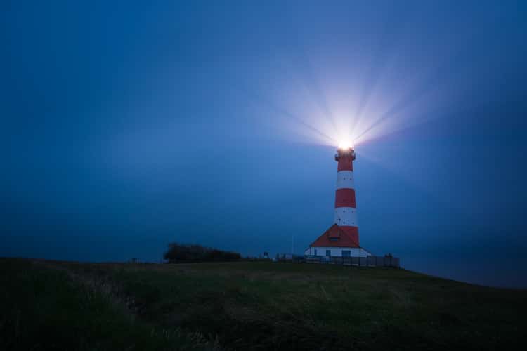
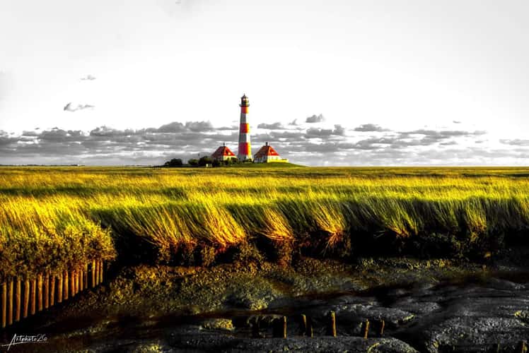
Lighthouse Westerheversand
343.83 km to location

North sea coastline in Denmark
442.95 km to location
Blåvand Beach
413.66 km to location
Southwold Beach
195.16 km to location
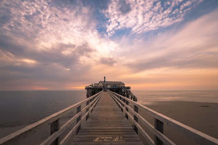
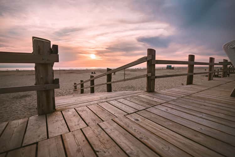
Sankt Peter Ording Beach
338.19 km to location
Sankt Peter Ording Beach
338.19 km to location
Warft Inferno (Westerheversand)
343.77 km to location
Warft Inferno (Westerheversand)
343.77 km to location
Sankt Peter Ording Beach
336.96 km to location
Lighthouse Westerheversand
343.83 km to location
Ruissalo Beach Way
1389.88 km to location
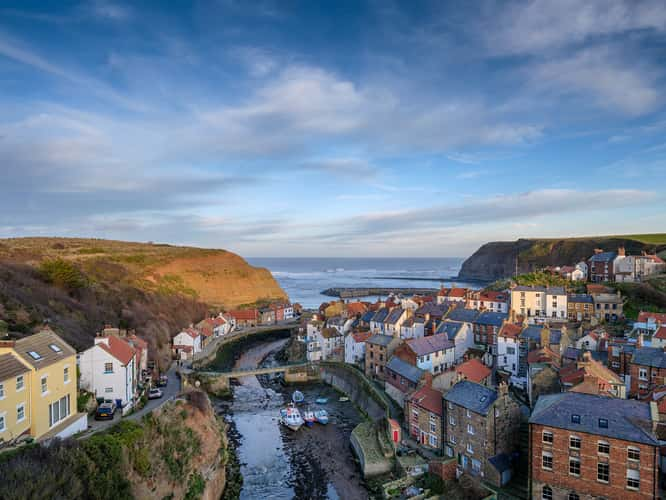
View over Staithes
423.19 km to location
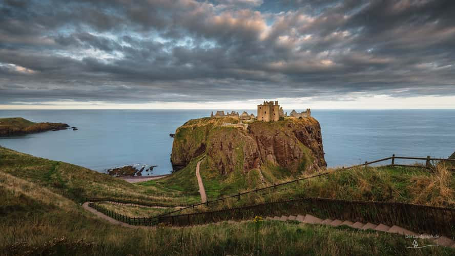
Overview of Dunnottar Castle
659.97 km to location
Beach Bar '54° Nord' Sankt Peter-Ording
338.1 km to location
Beach Bar '54° Nord' Sankt Peter-Ording
338.1 km to location
Warft Inferno (Westerheversand)
343.77 km to location
Warft Inferno (Westerheversand)
343.77 km to location
Beach Bar '54° Nord' Sankt Peter-Ording
338.1 km to location
The North Sea Coast, near Den Helder
55.61 km to location
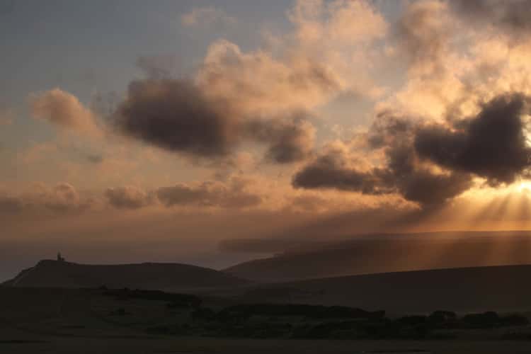
Belle Tout Lighthouse
354.49 km to location
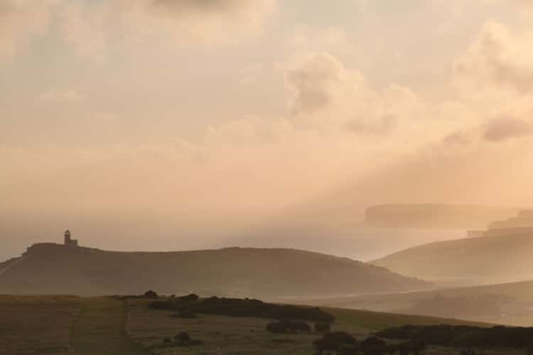
Belle Tout Lighthouse
354.49 km to location
Helgoland Düne
293.4 km to location
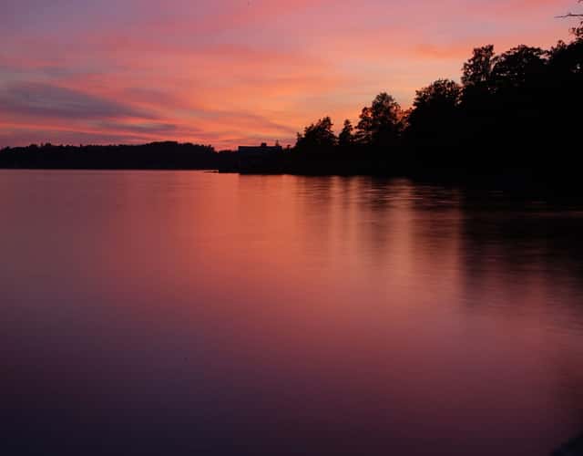
Hamburger Hallig
368.21 km to location