304 photos in 82 spots
- Show
- all photos
- only best photo/spot
- Order by
- Popularity
- Newest
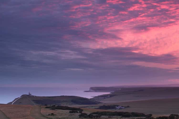
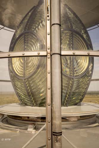
Belle Tout Lighthouse
354.49 km to location
Helgoland Düne
293.4 km to location
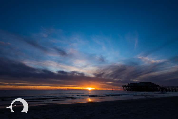
St.Peter-Ording Beach with Bar, Schleswig-Holstein
338.02 km to location
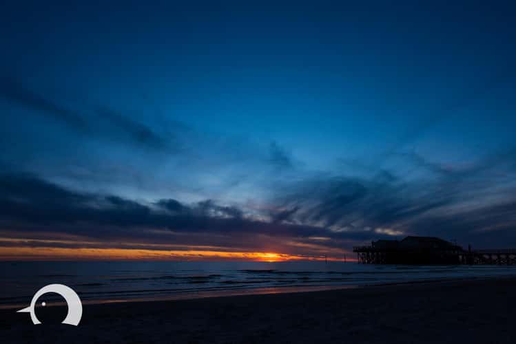
St.Peter-Ording Beach with Bar, Schleswig-Holstein
338.02 km to location
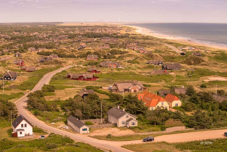
Blåvands Huk Lighthouse
413.94 km to location
Blåvands Huk Lighthouse
413.94 km to location
Blåvands Huk
413.88 km to location
Sankt Peter Ording Beach
338.19 km to location
Olandwarft, Hallig Oland
367.08 km to location
Olandwarft, Hallig Oland
367.08 km to location
Island railway Langeoog
241.63 km to location
Ruissalo Beach Way
1389.88 km to location
Wremen Sluice / Cutter Harbour
294.21 km to location
Wremen Sluice / Cutter Harbour
294.21 km to location
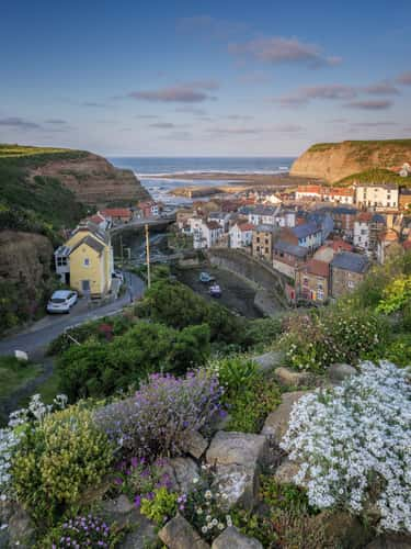
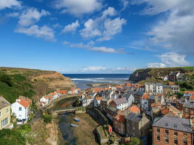
View over Staithes
423.19 km to location
Middenpart in Niew Haamstede
101.13 km to location
View over Staithes
423.19 km to location
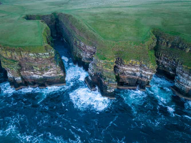
Geo of Sclaites Duncansby, Scotland
834.57 km to location
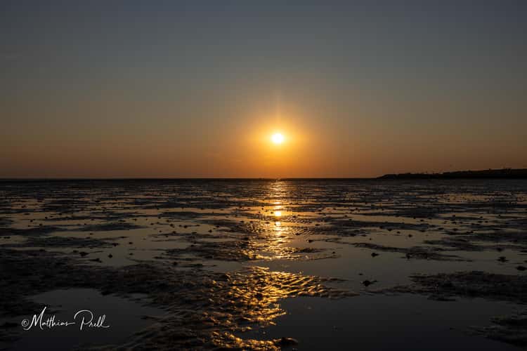
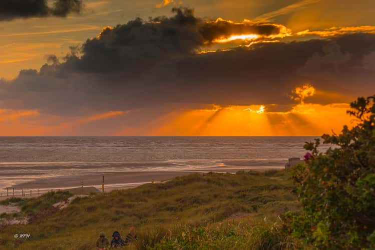
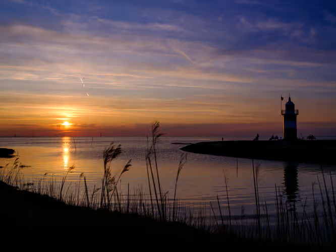
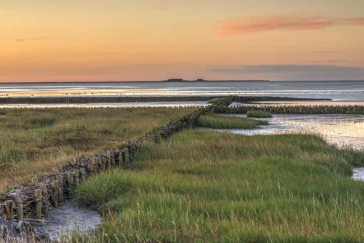
Sonnenuntergang im Watt vor Büsum
339.86 km to location
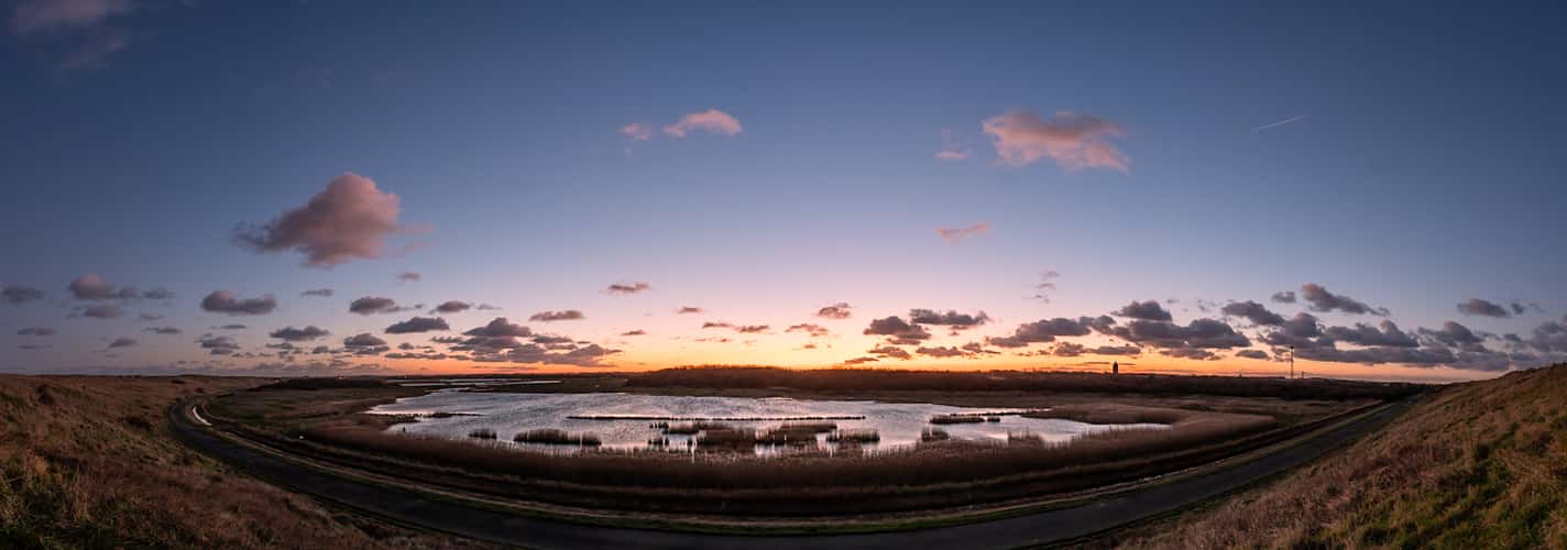
Westkapelle Noordervroon pond/lake
127.84 km to location
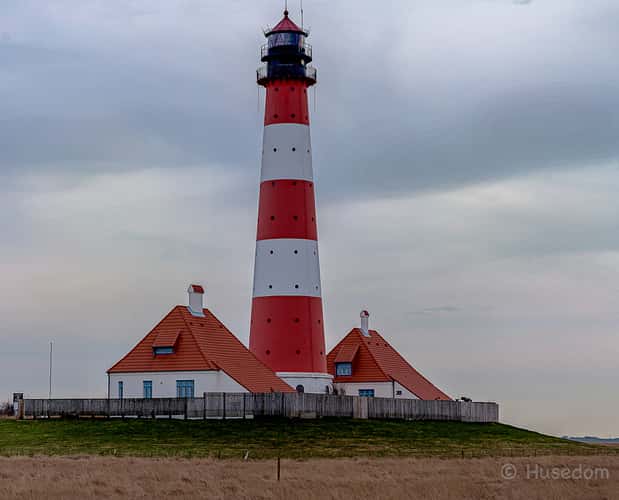
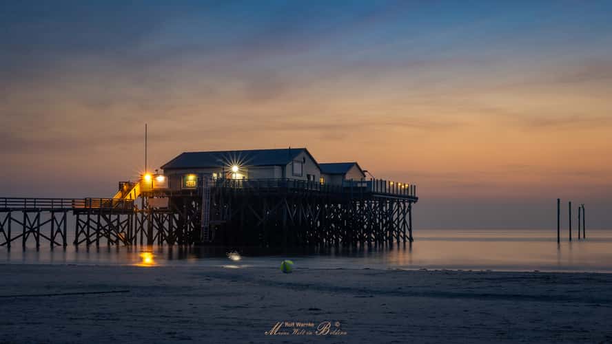
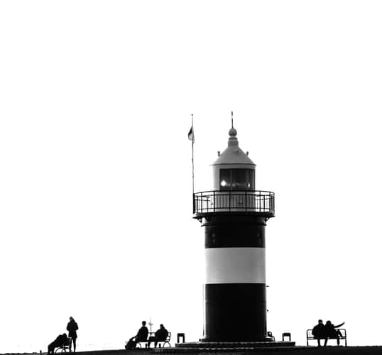
Lighthouse Westerheversand
343.83 km to location
The North Sea Coast, near Den Helder
55.61 km to location
The North Sea Coast, near Den Helder
55.61 km to location
Port of Fedderwardersiel
283.61 km to location
Beach Bar '54° Nord' Sankt Peter-Ording
338.1 km to location

Helgoland Düne
293.4 km to location
St.Peter-Ording Beach with Bar, Schleswig-Holstein
338.02 km to location
St. Petri church, Hallig Oland
366.97 km to location
Northern Harbour Dam, The Hague
44.68 km to location
Hallig Oland, Schleswig-Holstein
367.04 km to location