129 photos in 57 spots
- Show
- all photos
- only best photo/spot
- Order by
- Popularity
- Newest
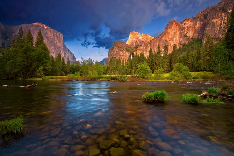
Yosemite National Park
21.18 km to location
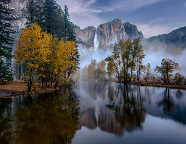
Swinging Bridge, Yosemite Valley, California
15.53 km to location
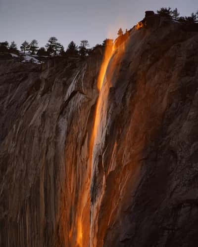
Firefalls horse tail falls, Yosemite
17.77 km to location
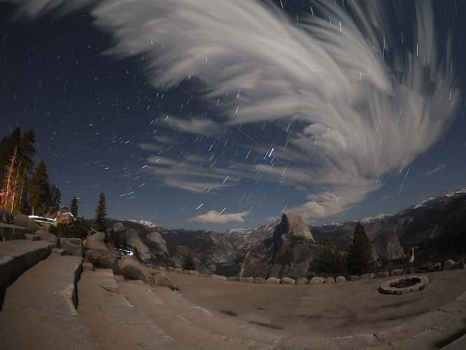
Half dome from Glacier Point Amphitheater, Yosemite
14.6 km to location
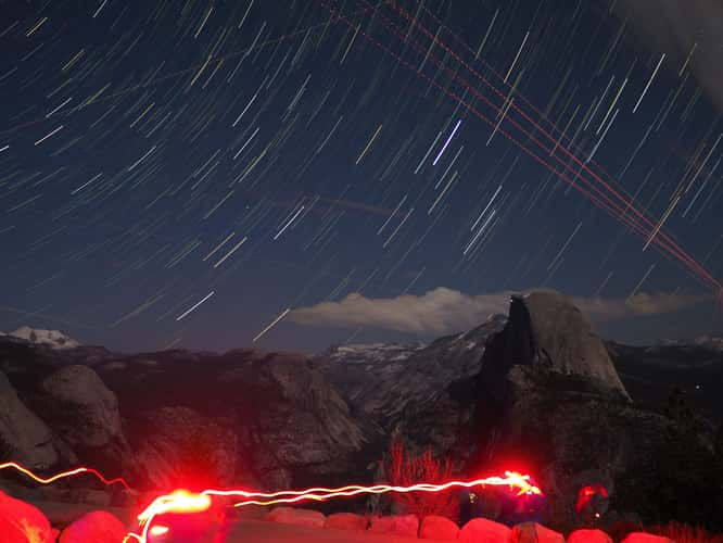
Half dome from Glacier Point Amphitheater, Yosemite
14.6 km to location
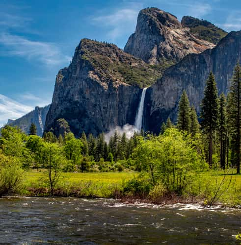
Valley View
21.15 km to location
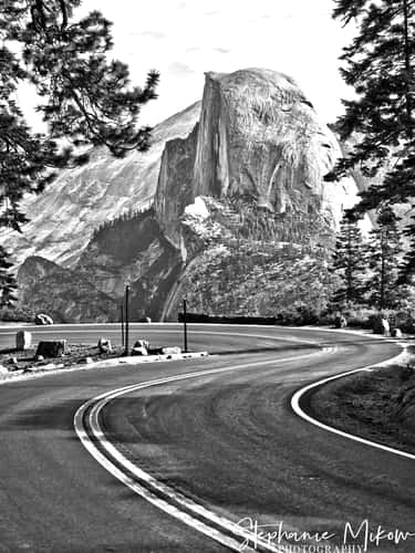
FIRST GLANCE OF HALF DOME
14.83 km to location
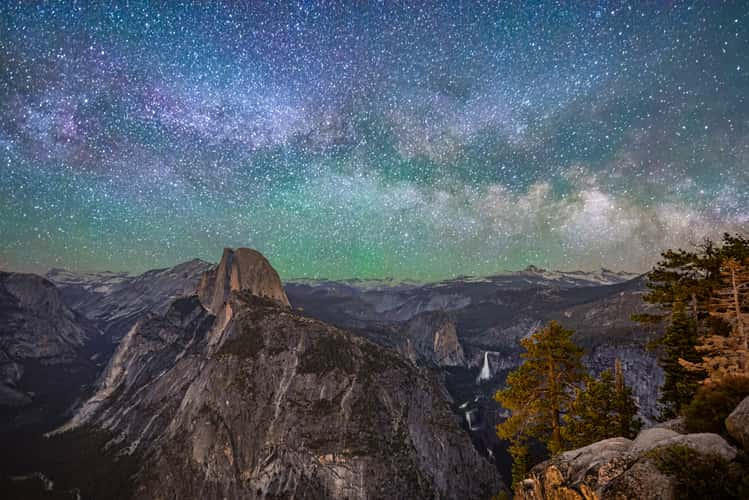
Glacier Point - Yosemite National Park
14.39 km to location
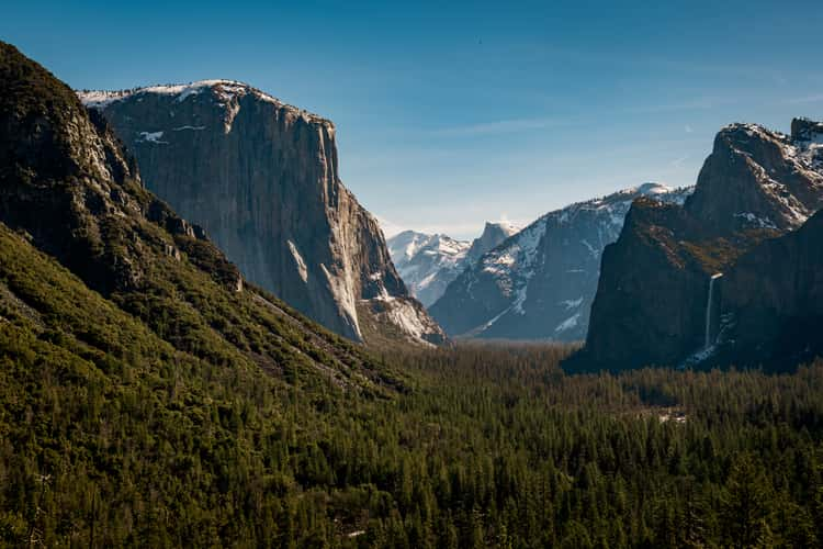
Tunnel View, Yosemite National Park, California
22.34 km to location
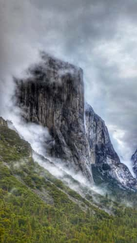
Tunnel View, Yosemite National Park, California
22.34 km to location
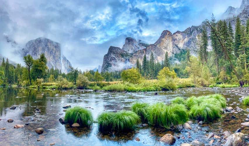
Yosemite National Park
21.18 km to location
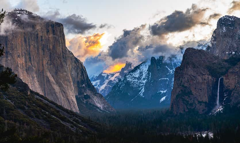
Tunnel View, Yosemite National Park, California
22.34 km to location
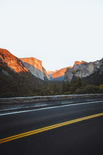
Tunnel View, Yosemite National Park, California
22.34 km to location
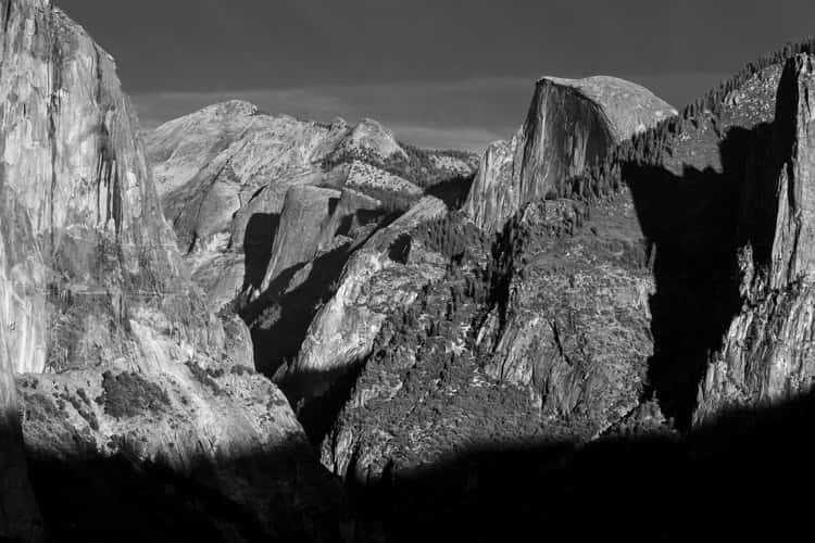
Tunnel View, Yosemite National Park, California
22.34 km to location
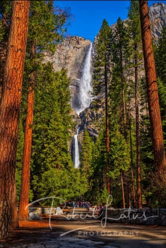
Path to Lower Yosemite Fall
14.54 km to location
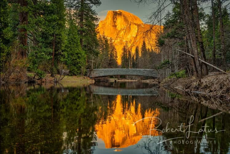
Sentinel Bridge and Half Dome
14.46 km to location

Tunnel View, Yosemite National Park, California
22.34 km to location
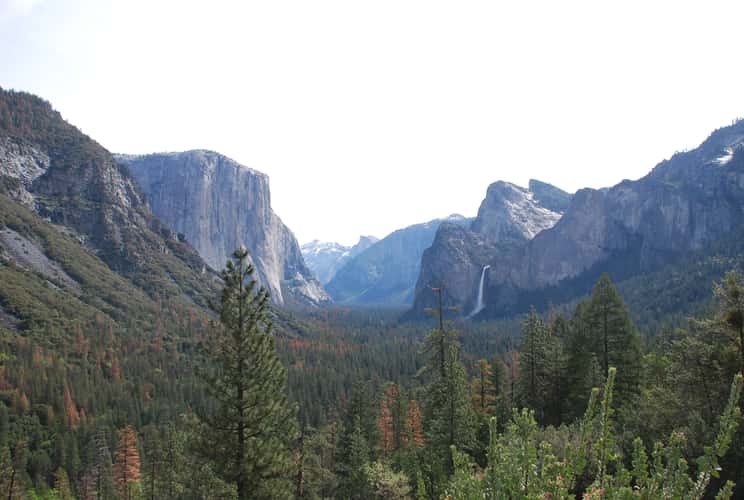
Tunnel View, Yosemite National Park, California
22.34 km to location
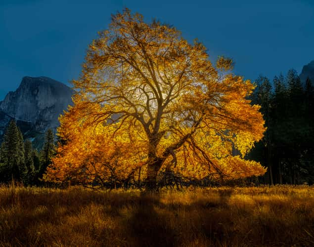
Large Oak in Yosemite
14.4 km to location
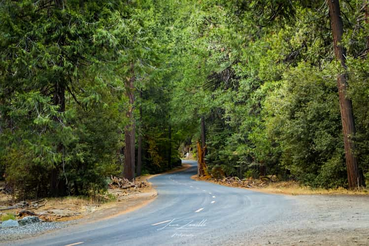
Mist Trail road into the forest
13.34 km to location
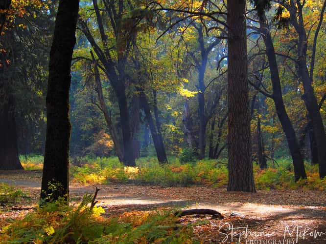
Large Oak in Yosemite
14.4 km to location
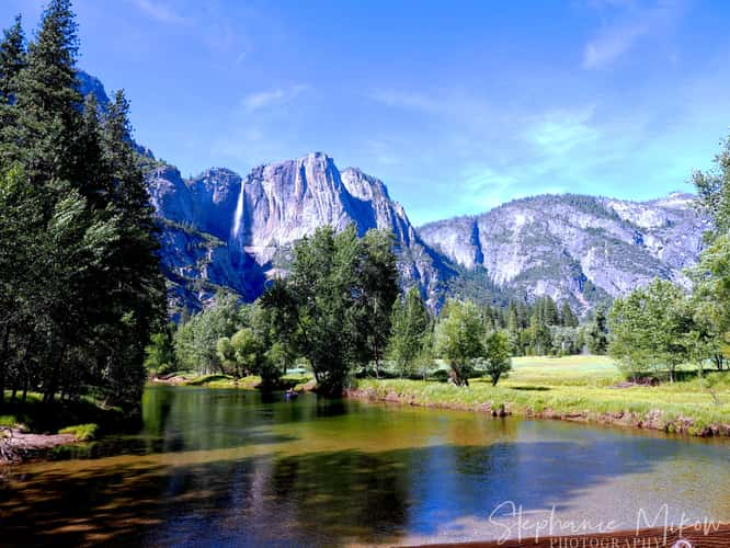
SWINGING BRIDGE
15.53 km to location
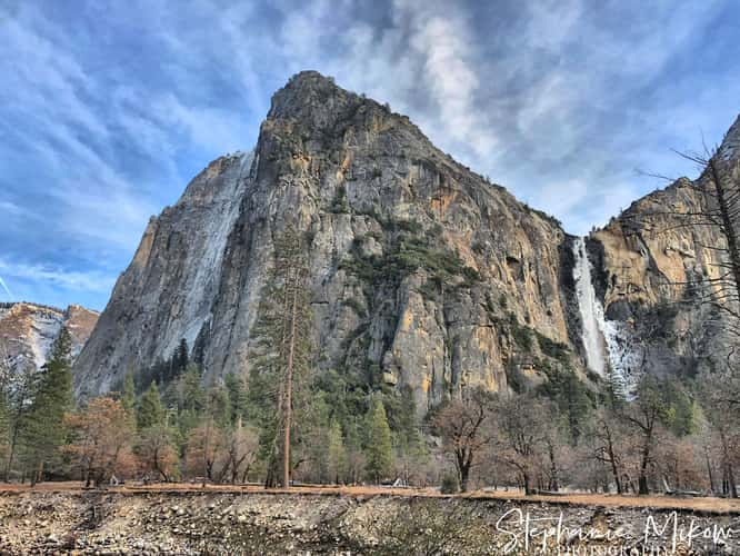
BRIDALVEIL FALLS
18.17 km to location
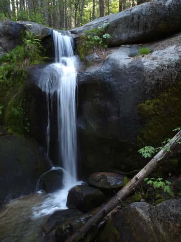
Little Nellie Falls
30.24 km to location
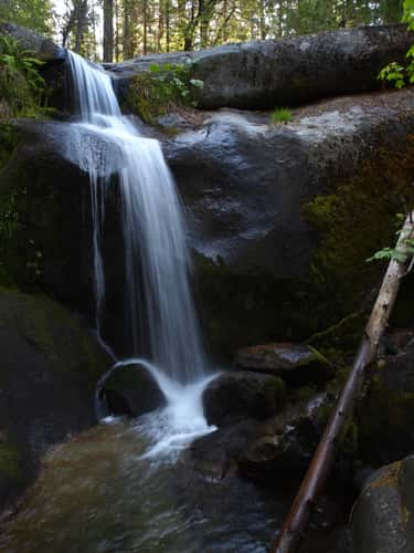
Little Nellie Falls
30.24 km to location
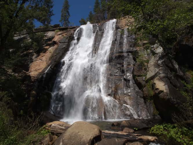
Foresta Falls
29.89 km to location
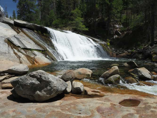
Carlon Falls
33.13 km to location
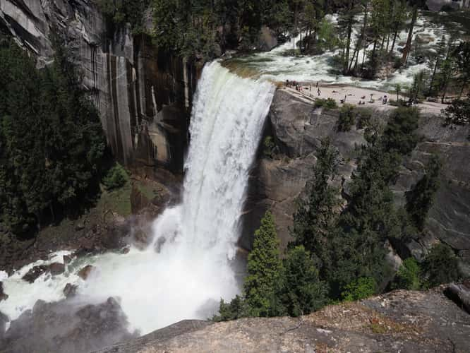
Vernal Fall Overlook
13.27 km to location
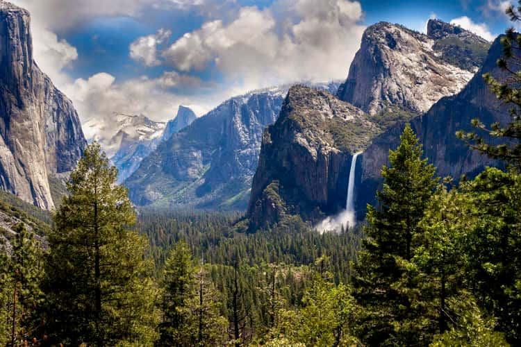
Tunnel View, Yosemite National Park, California
22.34 km to location
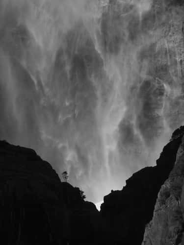
Path to Lower Yosemite Fall
14.54 km to location
