1007 photos in 289 spots
- Show
- all photos
- only best photo/spot
- Order by
- Popularity
- Newest
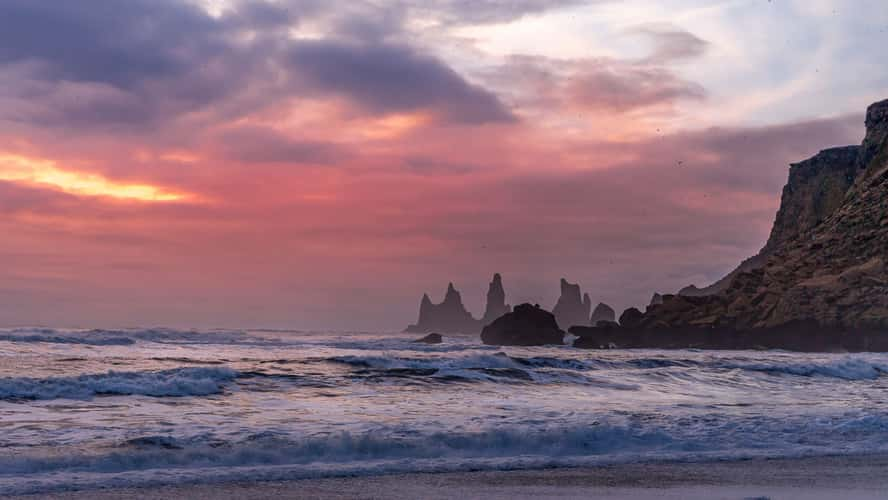
Mystic Vik
37.75 km to location
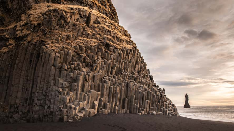
Reynisdrangar, the black basalt sea stacks near Vik
38.44 km to location
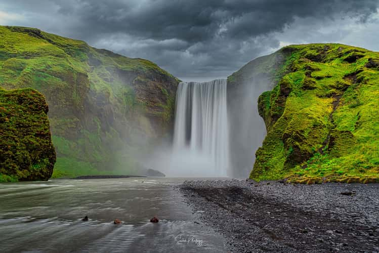
Skógafoss Waterfall
27.15 km to location
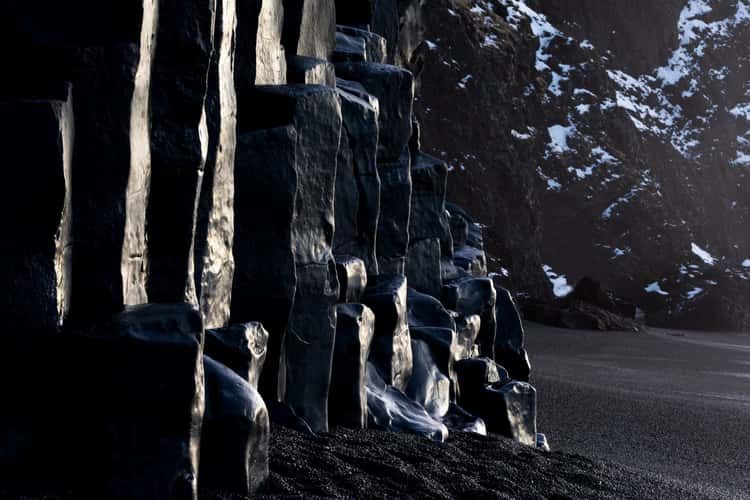
Reynisdrangar, the black basalt sea stacks near Vik
38.44 km to location
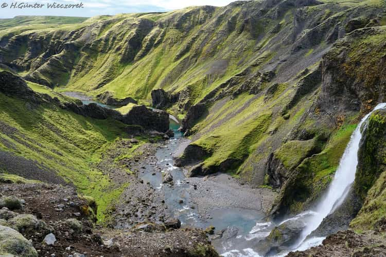
Fagrifoss
49.89 km to location
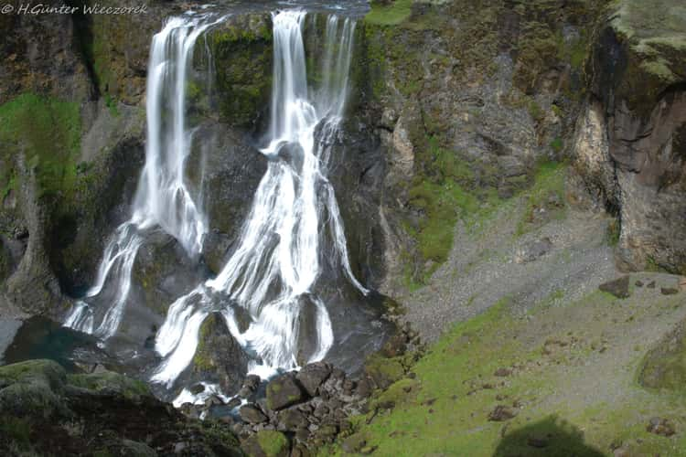
Fagrifoss
49.89 km to location
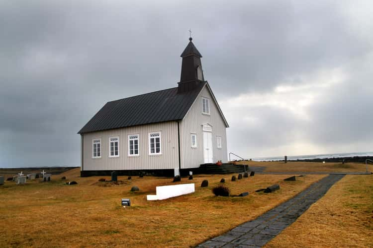
Strandarkirkja
122.39 km to location

Haifoss waterfall
56.57 km to location
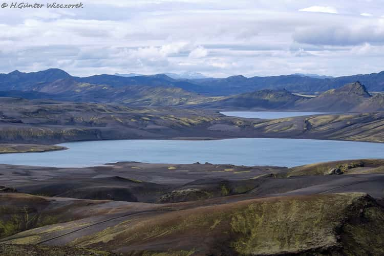
Laki Volcano
55.59 km to location
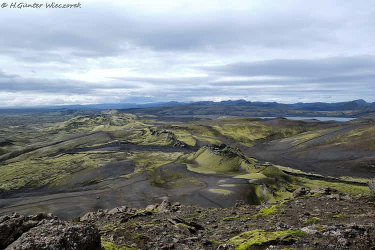
Laki Volcano
55.59 km to location
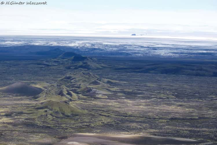
Laki Volcano
55.59 km to location

Laki Volcano
55.59 km to location
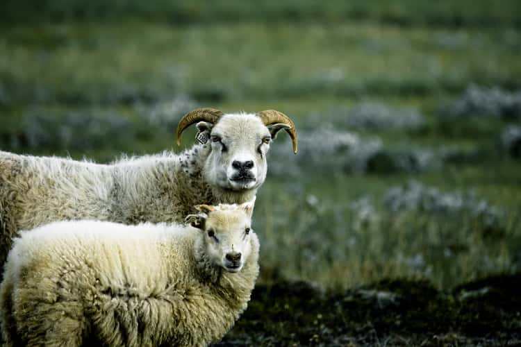
Iceland sheep
115.98 km to location
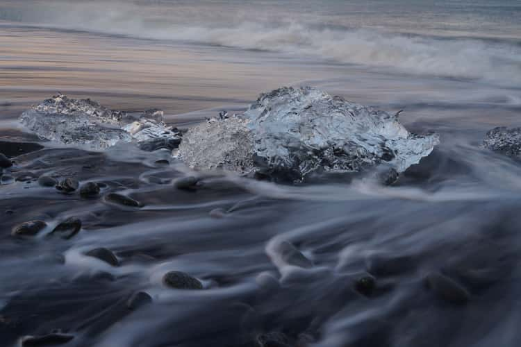
Diamond Beach in Iceland
152.75 km to location
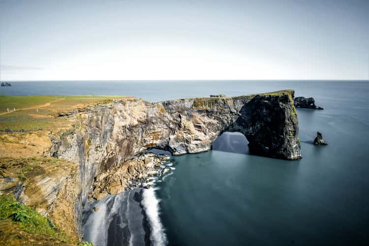
Cap Dyrhólaey
37.88 km to location
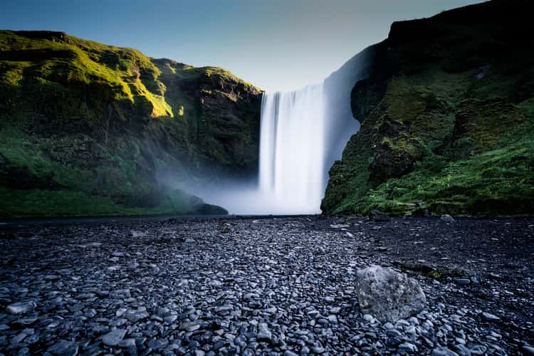
Skógafoss Waterfall
27.15 km to location
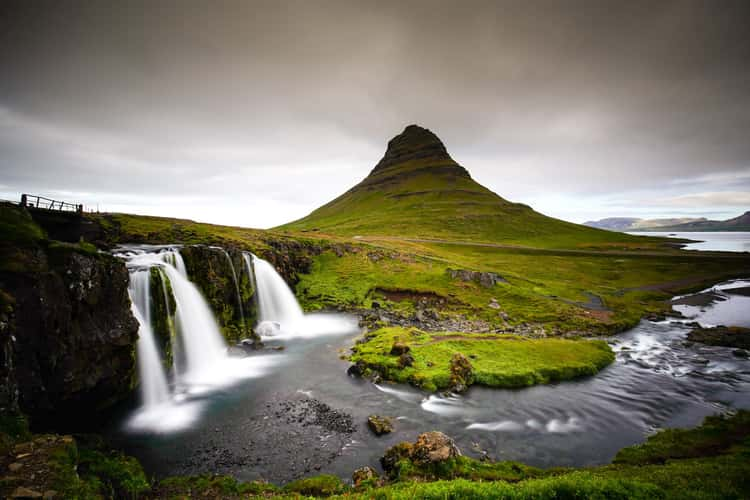
Kirkjufell Waterfall with Kirkjufell
236.89 km to location
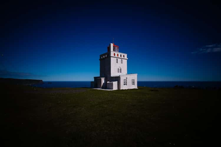
Dyrhólaeyjarviti Lighthouse
37.72 km to location
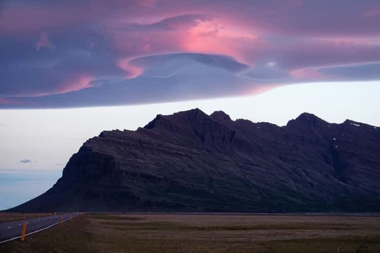
On the Ring Road, Iceland
134.25 km to location
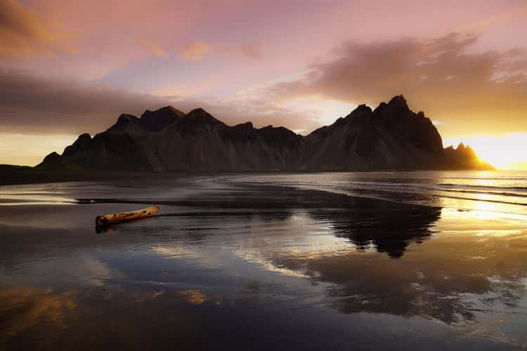
Vestrahorn from the beach, Stokkness
214.69 km to location
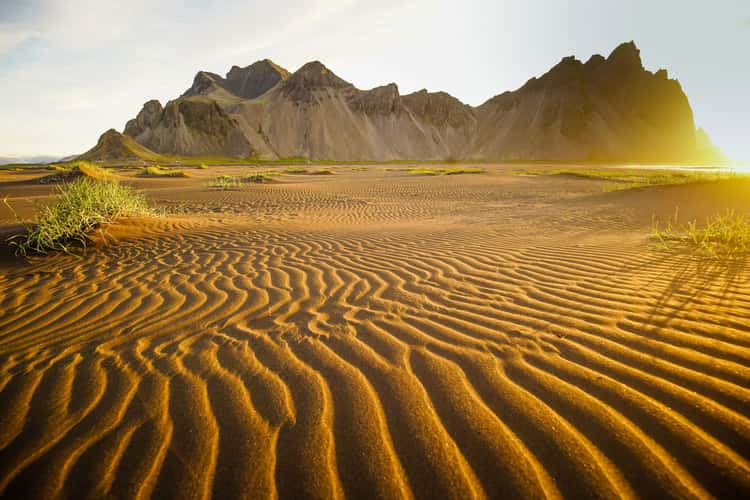
Vestrahorn, Stokksnes
214.29 km to location
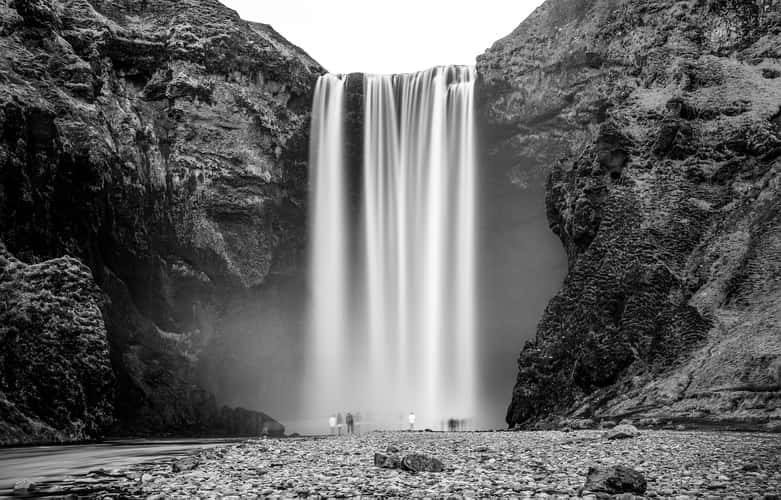
Skógafoss Waterfall
27.15 km to location
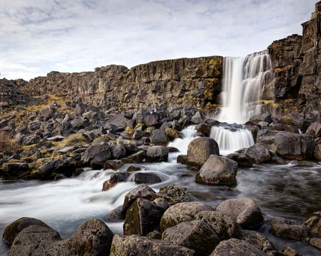
Öxarárfoss
109.3 km to location
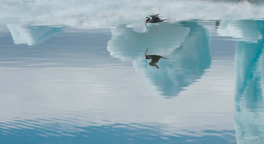
Jökulsárlón
152.51 km to location
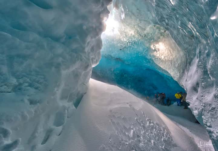
Ice cave near Jökulsárlón
145.71 km to location
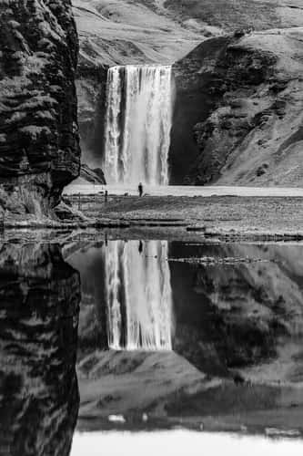
Alternative Skogafoss view
28.5 km to location
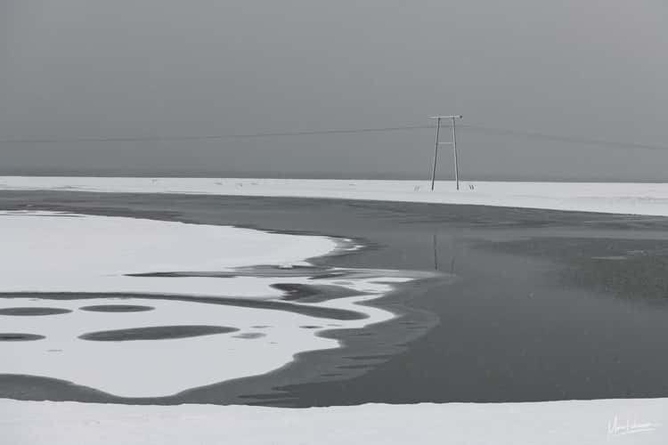
Minimal scape
155.43 km to location
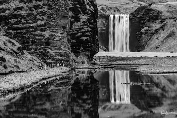
Alternative Skogafoss view
28.5 km to location
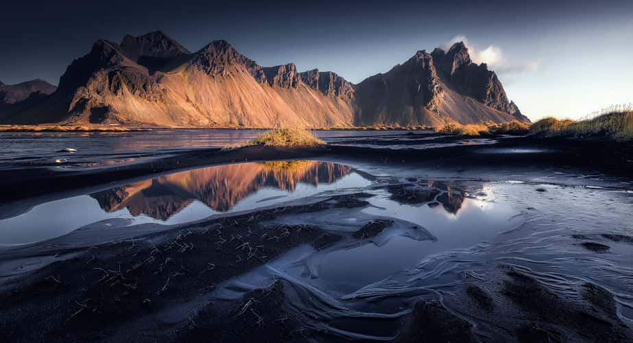
Vestrahorn from the beach, Stokkness
214.69 km to location
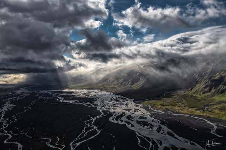
Storm toward Thorsmork
29.71 km to location
