1007 photos in 289 spots
- Show
- all photos
- only best photo/spot
- Order by
- Popularity
- Newest
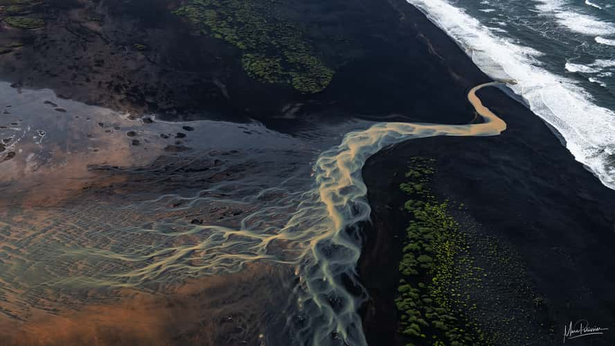
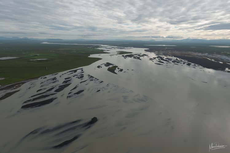
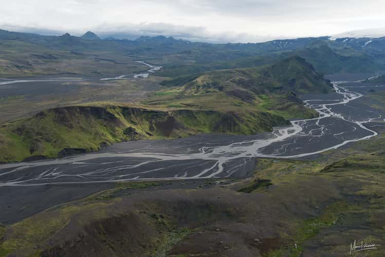
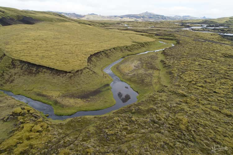
The snake river
60.74 km to location
Fjallabaki River
29.89 km to location
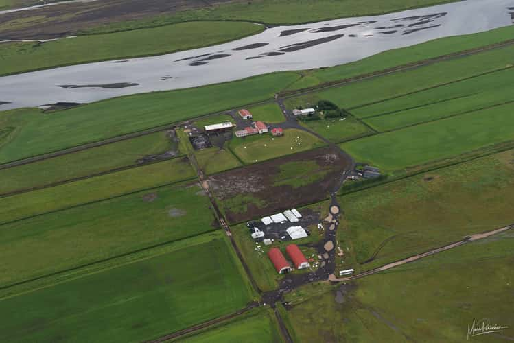
Geometry farm
60.3 km to location
Strandarkirkja
122.39 km to location
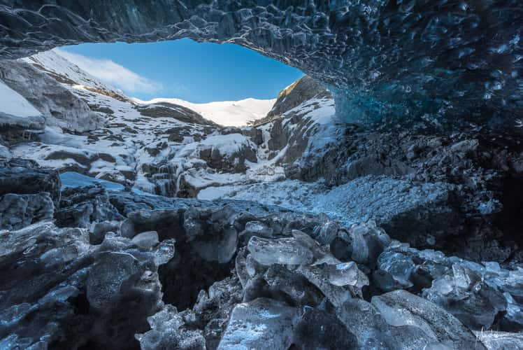
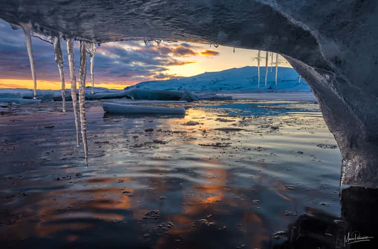
Under the Jökulsárlón glacier
153.17 km to location
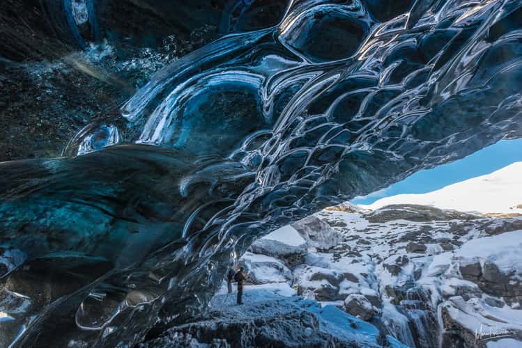
Under the Jökulsárlón glacier
153.17 km to location
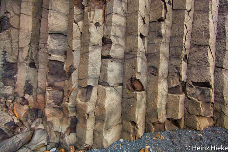
Reynisdrangar, the black basalt sea stacks near Vik
38.44 km to location
Stokkseyri coast
83.26 km to location
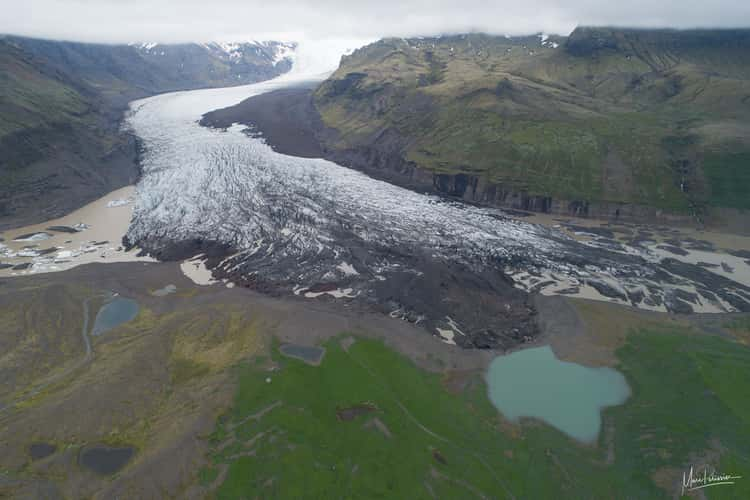
Jökulsárlón
152.51 km to location
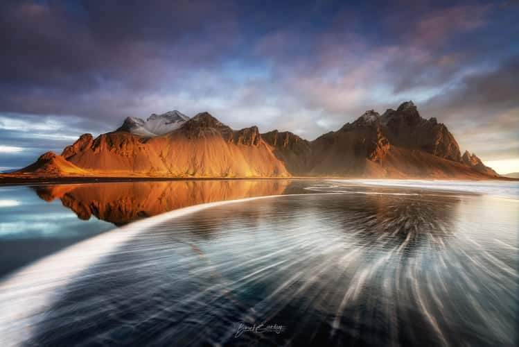
Vestrahorn from the beach, Stokkness
214.69 km to location
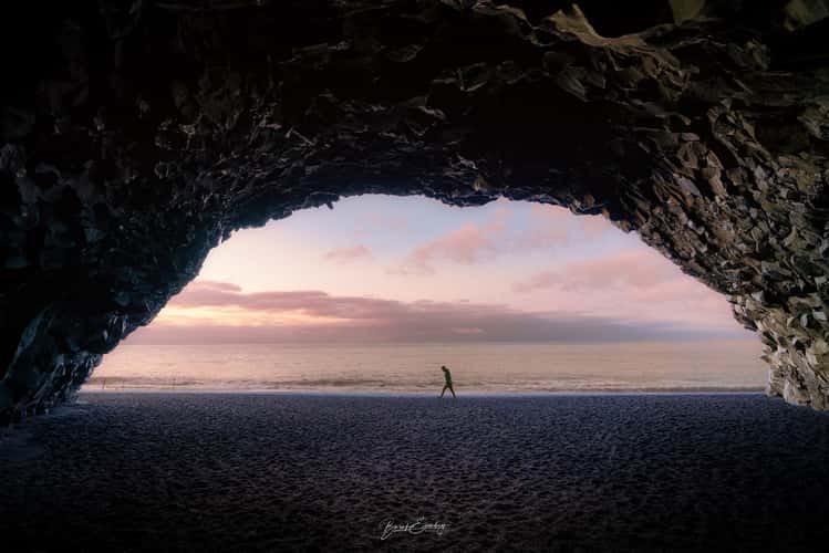
Cave Reynisfjara
38.5 km to location

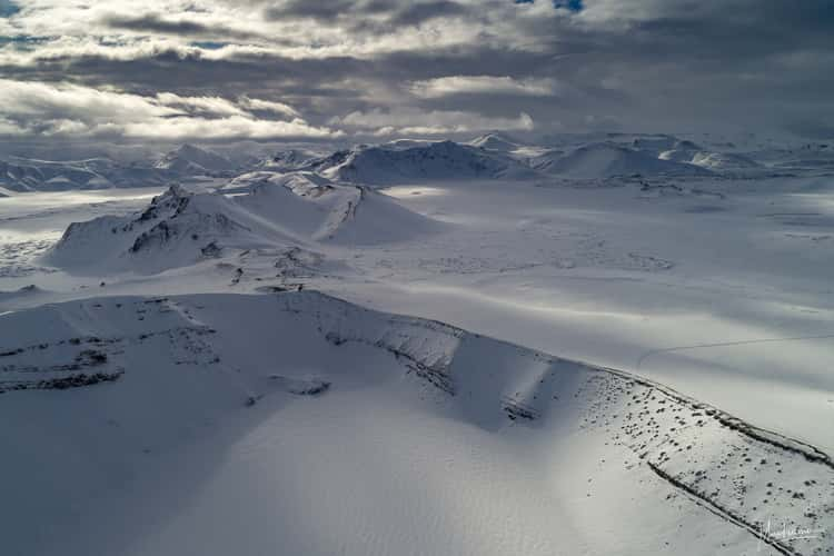
Frostastadvatn the frozen lake
31.79 km to location
Olfusa river after Selfoss
102.21 km to location
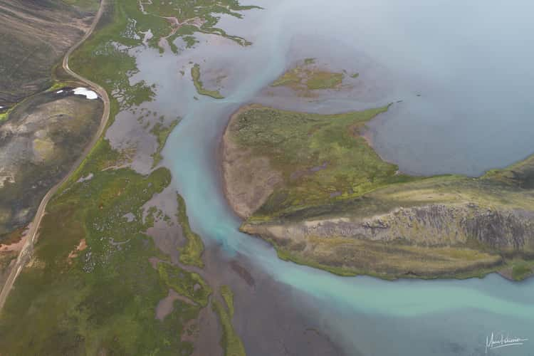
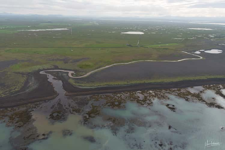
Villingahot river end
77.21 km to location
Frostastadvatn the frozen lake
31.79 km to location
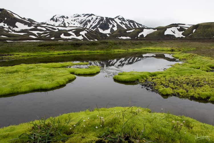
Between Hekla and Landmannalaugar
34.16 km to location

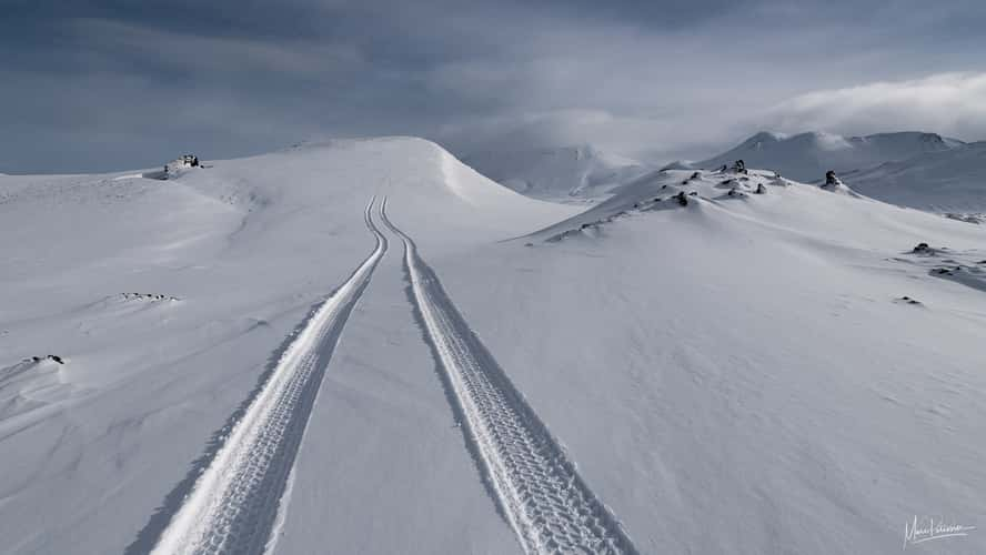
Winter F208 Landlannalaugar shortcut
38.89 km to location
Along Landmannalaugar F208 track
32.26 km to location
Thorsmörk Valley
19.82 km to location
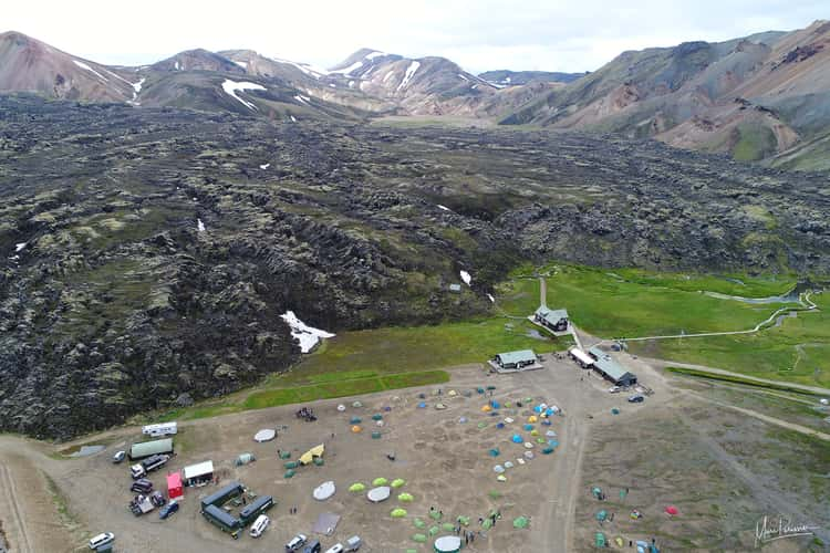
Landmannalaugar main camp
28.92 km to location
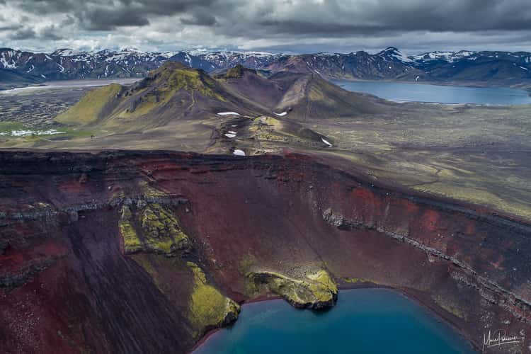
Ljottipollur volcano lake
34.31 km to location
Ljottipollur volcano lake
34.31 km to location
Landmannalaugar main camp
28.92 km to location
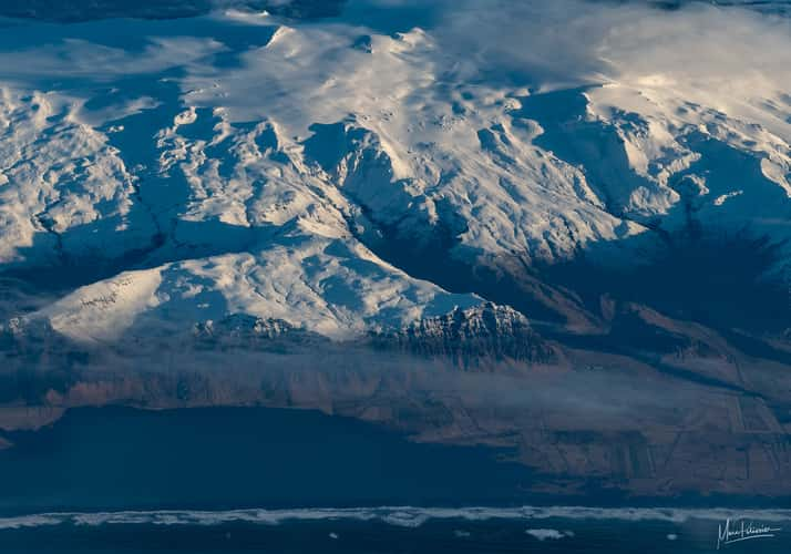
Flight arrival to Iceland
36.78 km to location
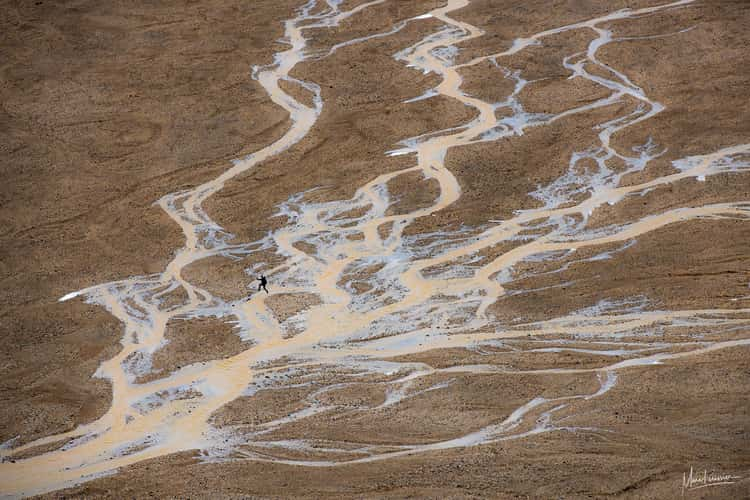
The heart river
35.87 km to location
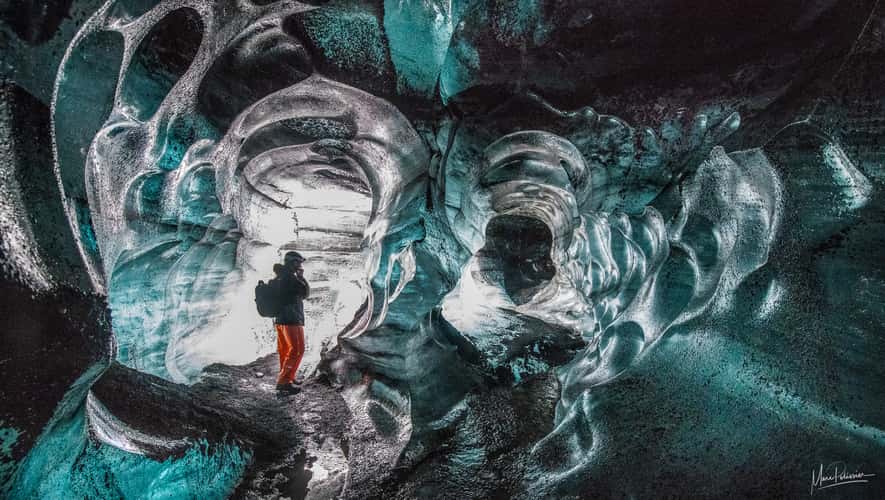
Katla ice cave
28.91 km to location
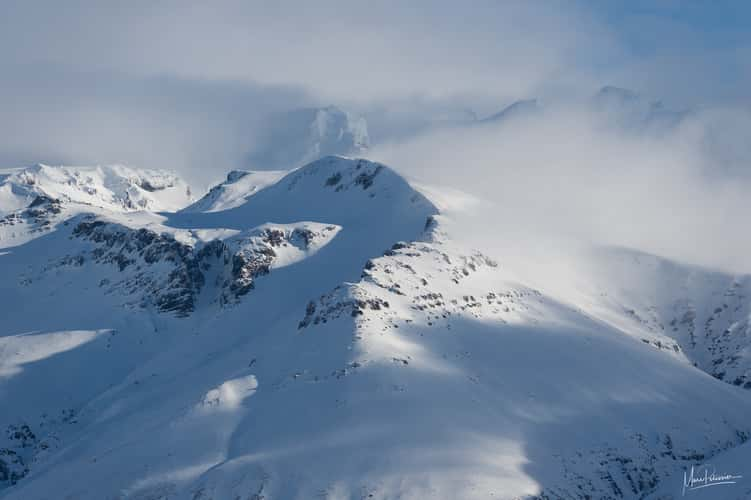
Snowy mounts above Svínafellsjökull Glacier
114.5 km to location
Above the Svínafellsjökull Glacier
118.31 km to location
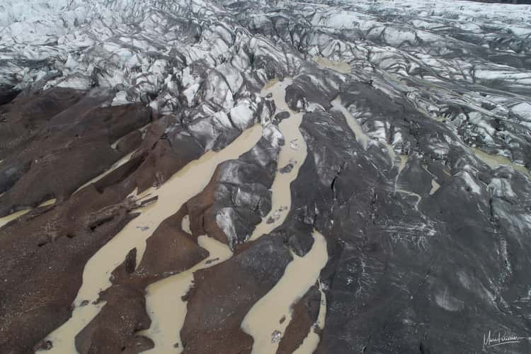
Aerial view of the Svínafellsjökull Glacier
117.37 km to location
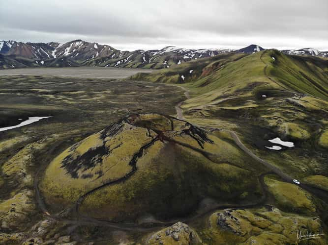
Exploring the Hekla Volcano
32.13 km to location