41 photos in 20 spots
- Show
- all photos
- only best photo/spot
- Order by
- Popularity
- Newest
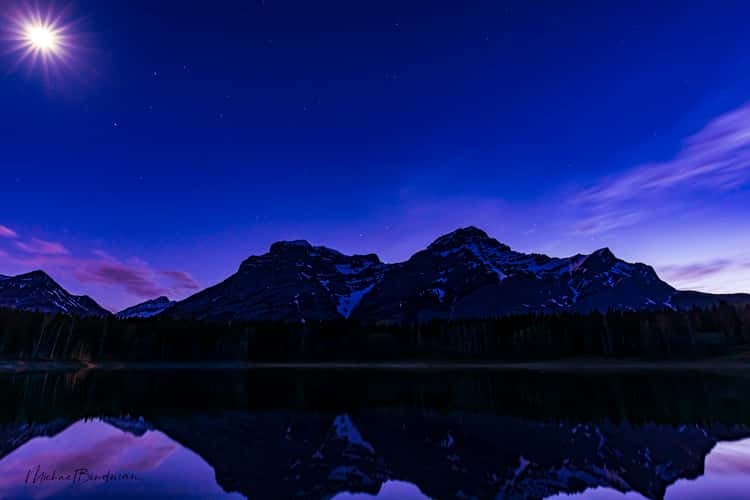
Spray Lakes Reservoir from Windtower hike trail
75.76 km to location
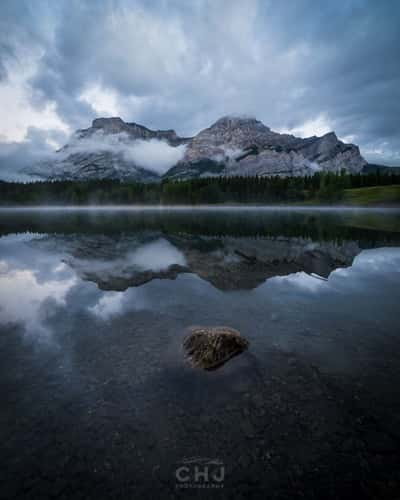
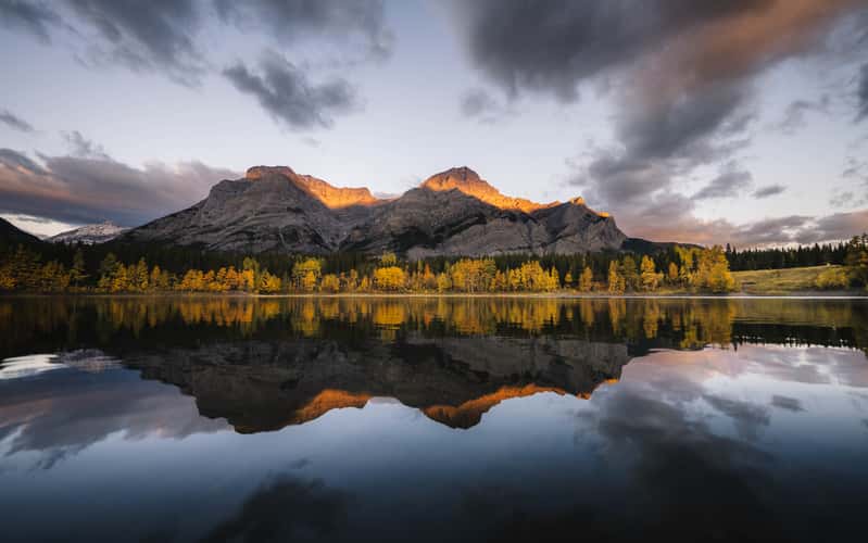
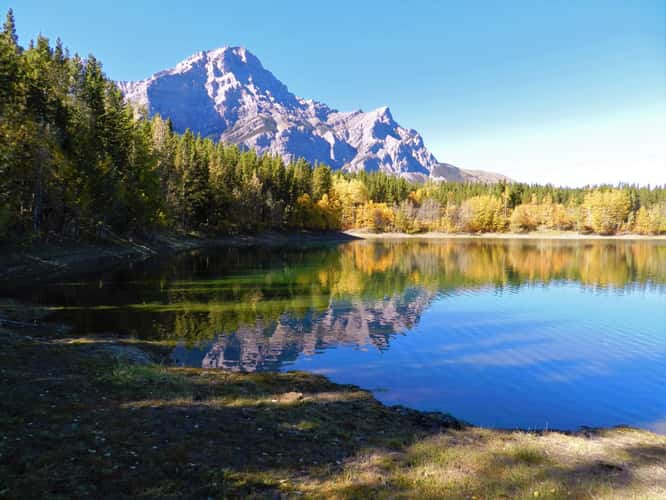
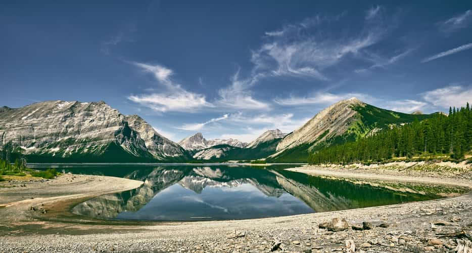
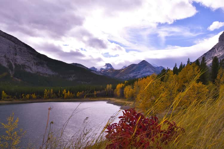
Wedge Pond
60.31 km to location
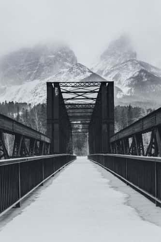
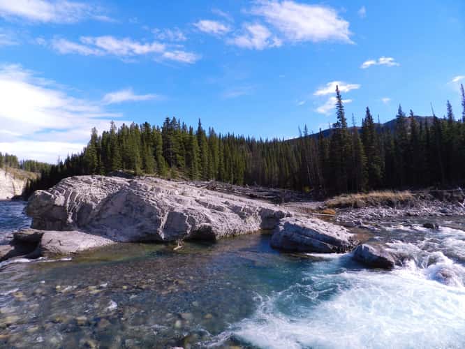
Canmore Engine Bridge
88.79 km to location
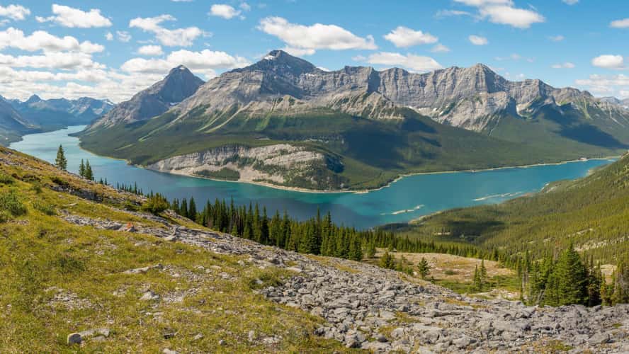
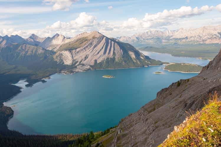
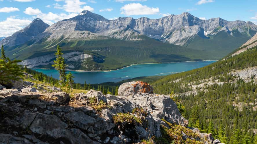
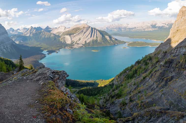
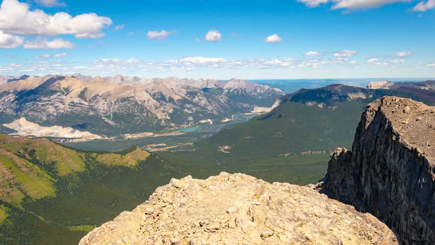
View of Upper Kananaskis Lake from Mount Sarrail
35.83 km to location
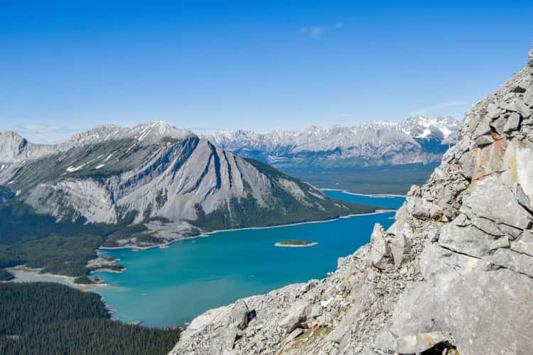
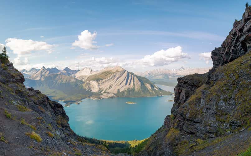
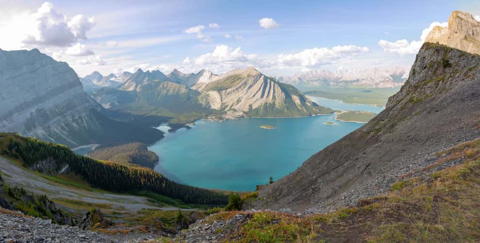
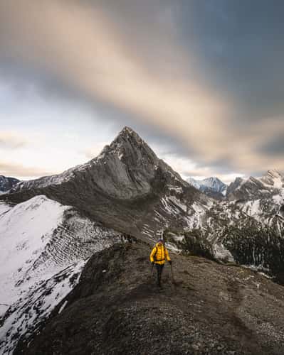
Sarrail Ridge
35.03 km to location
Wedge Pond
60.33 km to location
Wedge Pond
60.33 km to location
Sarrail Ridge
35.03 km to location
Spray Lakes Reservoir from Windtower hike trail
75.76 km to location
Sarrail Ridge
35.03 km to location
Spray Lakes Reservoir from Windtower hike trail
75.76 km to location
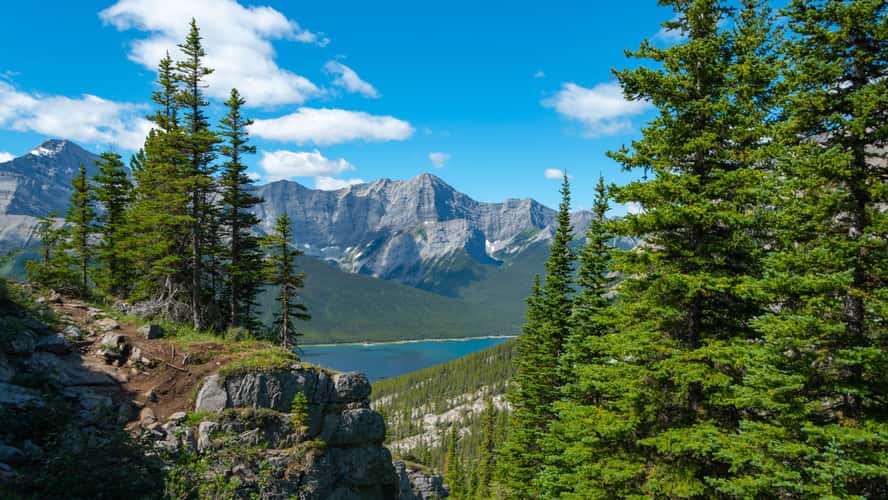
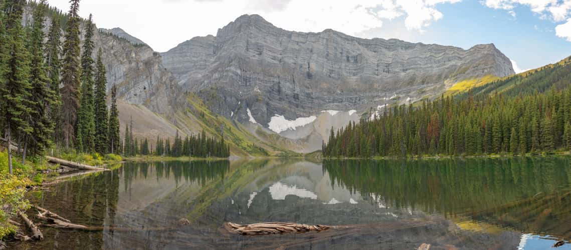
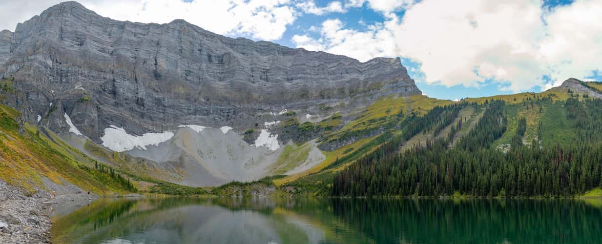
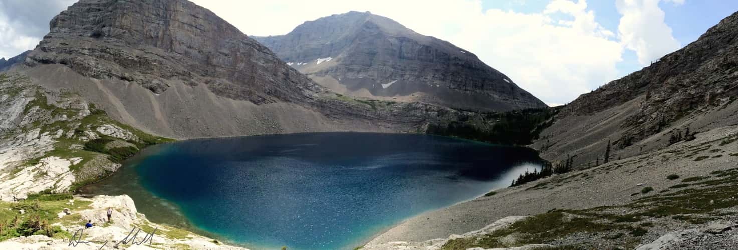
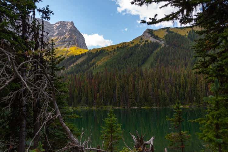
Rawson Lake
34.09 km to location
Rawson Lake
34.09 km to location
Sarrail Ridge
35.03 km to location

Rawson Lake
33.99 km to location
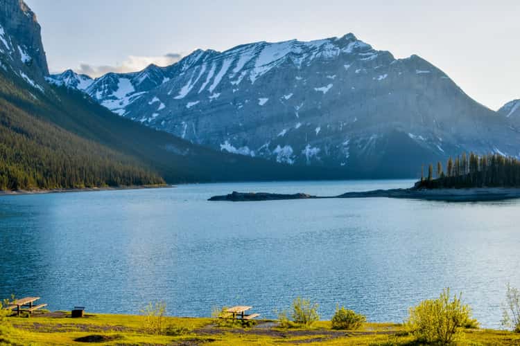
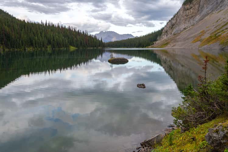
Upper Kananaskis Lake
34.55 km to location
Upper Kananaskis Lake
34.55 km to location
Wedge Pond
60.31 km to location
Wasootch Ridge Trail - Kananaskis
63.88 km to location
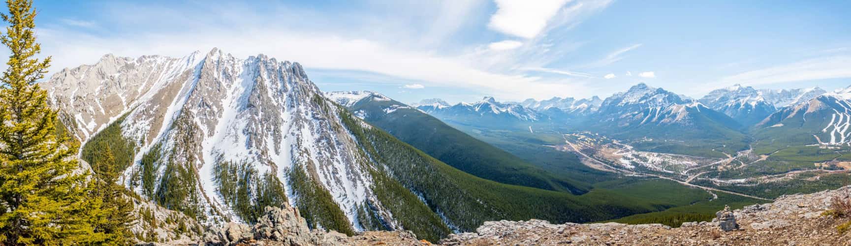
Windtower peak, Kananaskis
76.13 km to location

Spray Lakes Reservoir from Windtower hike trail
75.76 km to location
Rawson Lake
33.99 km to location
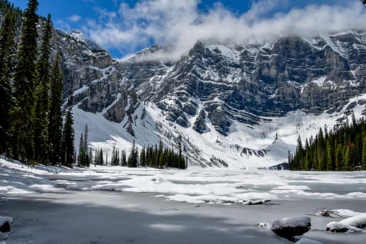
Carnarvon Lake
0 km to location
Elbow Falls
54.9 km to location
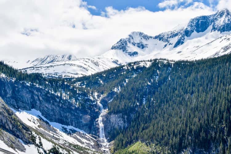
Fossil Falls
35.84 km to location
Tent Ridge Horseshoe, Hike
64.93 km to location
Rawson Lake
33.99 km to location
Rawson Lake
34.18 km to location
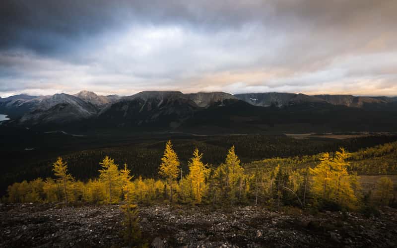
Mount Smutwood Summit Ridge
62.37 km to location
Wedge Pond
60.33 km to location