231 photos in 94 spots
- Show
- all photos
- only best photo/spot
- Order by
- Popularity
- Newest
Saltworks Aigues-Mortes
168.34 km to location
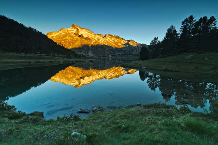
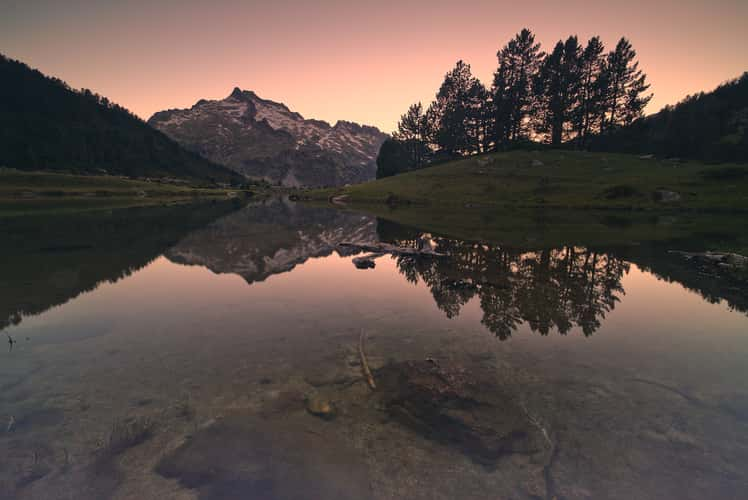
Neouvielle Aumar lake (eastern side), Pyrenees
504.42 km to location
Le cèdre de Bramousset
368.06 km to location
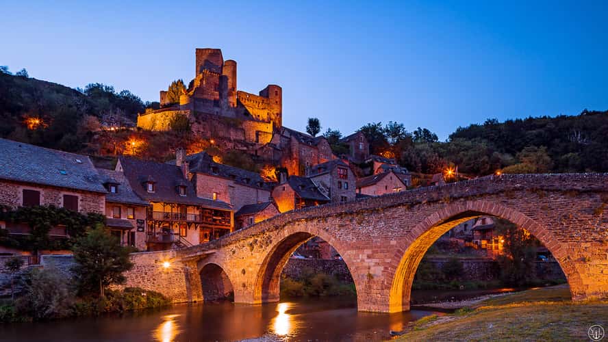
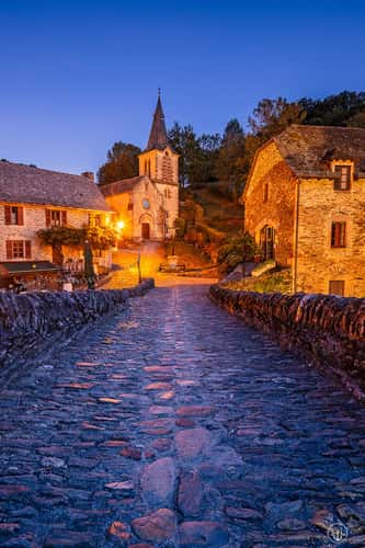
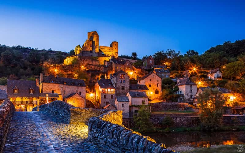
River and Pont medieval in Belcastel
319.64 km to location

Carcassonne, Pont Neuf viewpoint
320.88 km to location
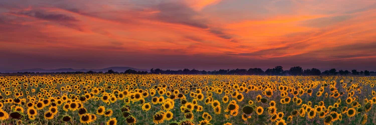
Sunflower Fields of Valensole
24.85 km to location
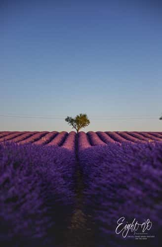
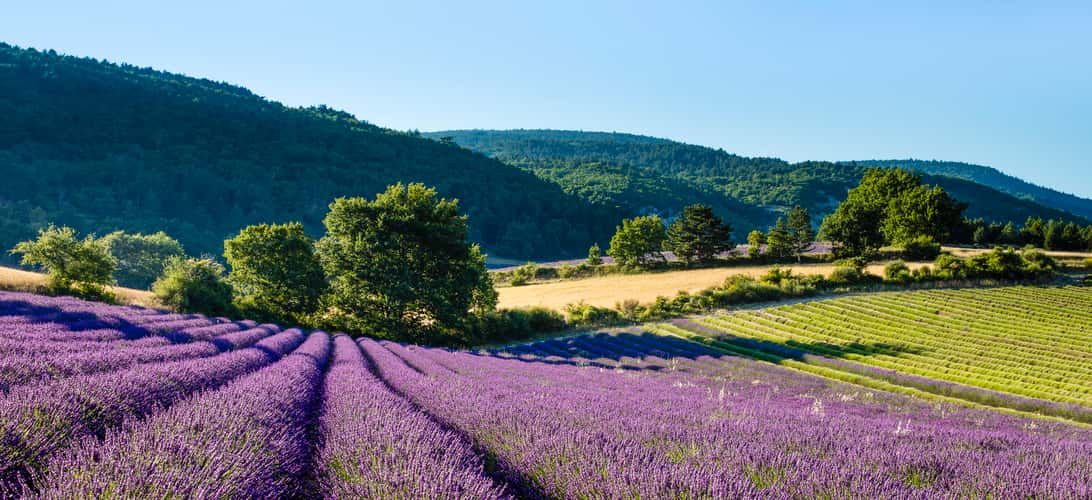
Lavender field in Valensole
25.81 km to location
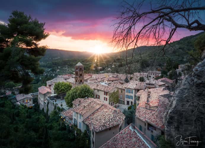
Moustiers-Sainte-Marie
5.89 km to location
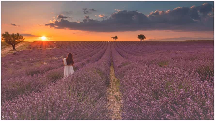
Lavender field in Valensole
25.81 km to location
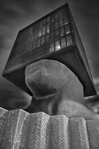
Tête Carrée - The Square Head
82.75 km to location
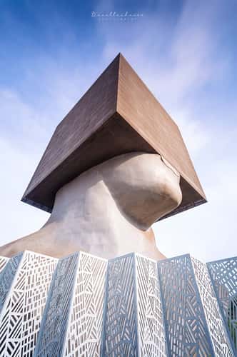
Tête Carrée - The Square Head
82.75 km to location
Gourgue d'Asque, french Pyrenees
491.26 km to location
Promenade des Anglais
79.34 km to location
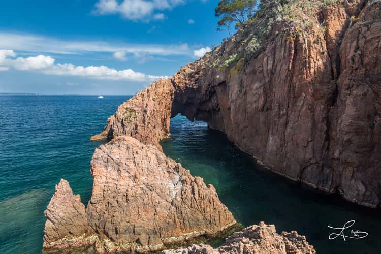
The Arc
64.96 km to location
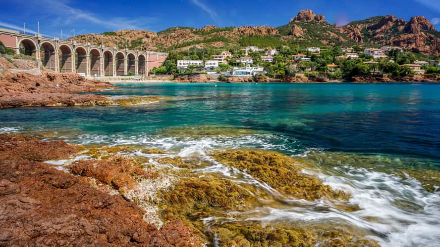
Calanque d'Anthéor
65.23 km to location
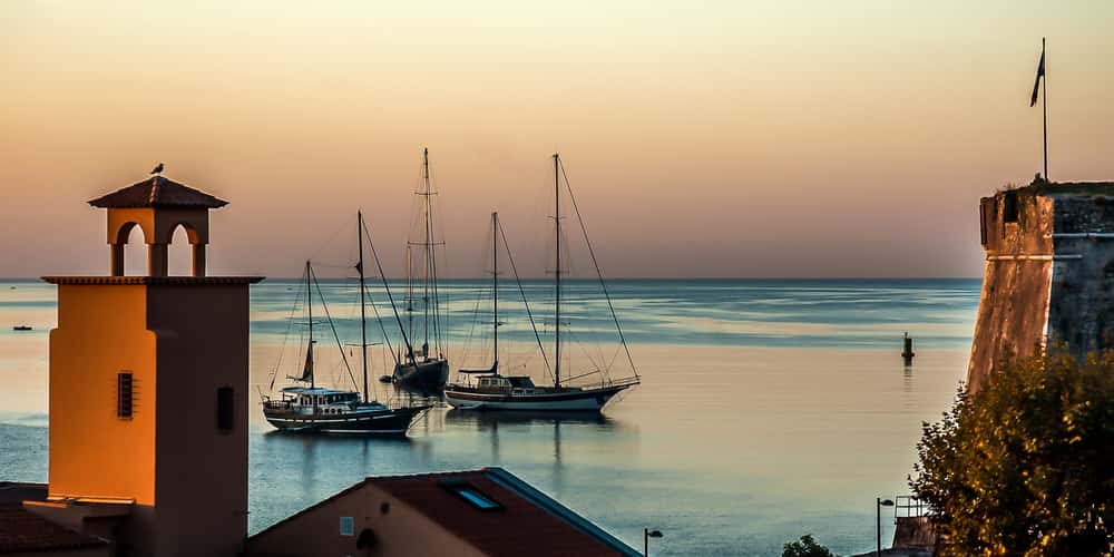
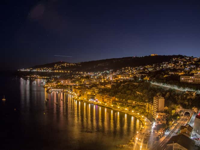
Villefranche-sur-mer
85.36 km to location

Lac d'Allos
60.45 km to location
Pont medieval Belcastel
319.65 km to location
Pont medieval Belcastel
319.65 km to location
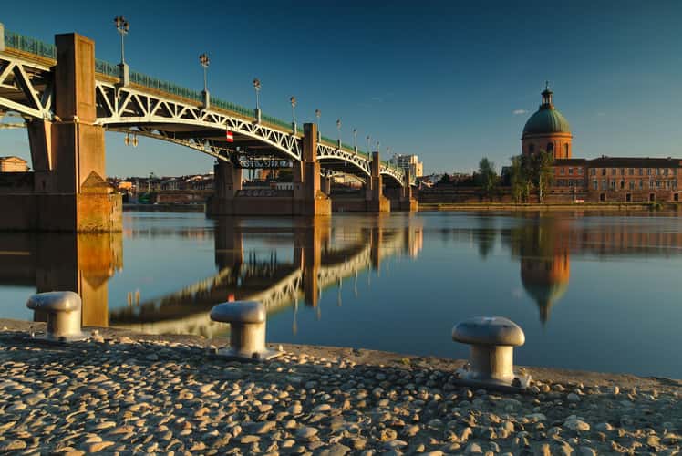
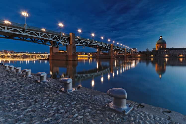
Toulouse, pont Saint-Pierre
387.86 km to location

Lavender field in Valensole
25.81 km to location
Neouvielle Aumar lake (eastern side), Pyrenees
504.42 km to location
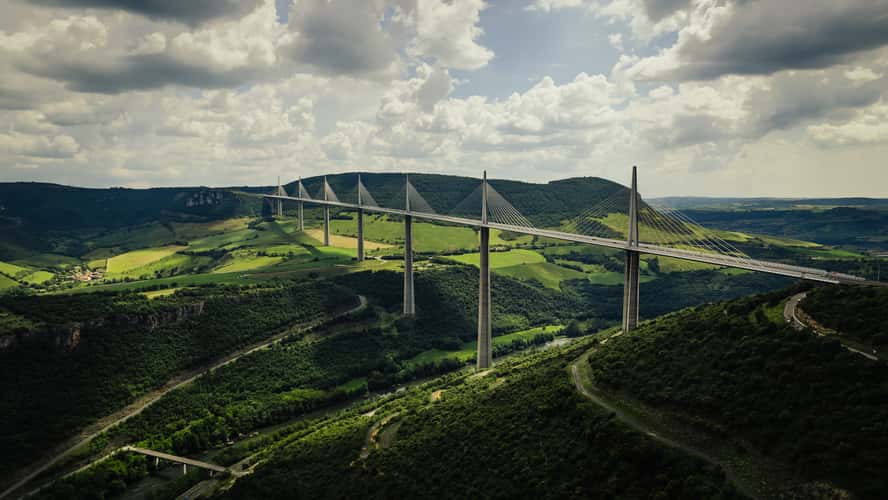
Viaduct of Millau
260.44 km to location
Toulouse, pont Saint-Pierre
387.86 km to location
Nice, night view
85.64 km to location
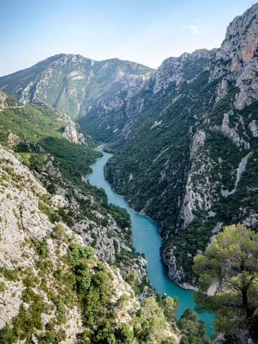
Gorges Du Verdon
1.96 km to location
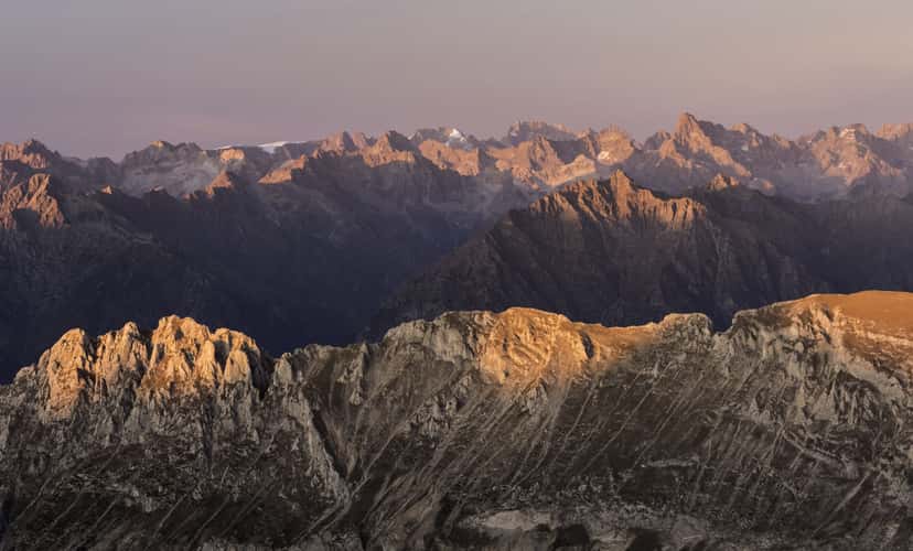
Pic de Bure, panoramic view on Les Ecrins national park
95.32 km to location
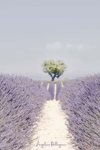
The splendour of blooming lavender fields
77.24 km to location
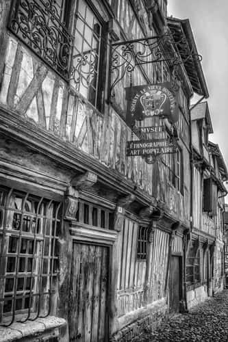
Ethnographic Museum, Honfleur
774.87 km to location
Lavender field in Valensole
25.81 km to location