60 photos in 60 spots
- Show
- all photos
- only best photo/spot
- Order by
- Popularity
- Newest

Finicular Chantarella-St.Moritz
9.95 km to location
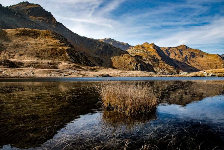
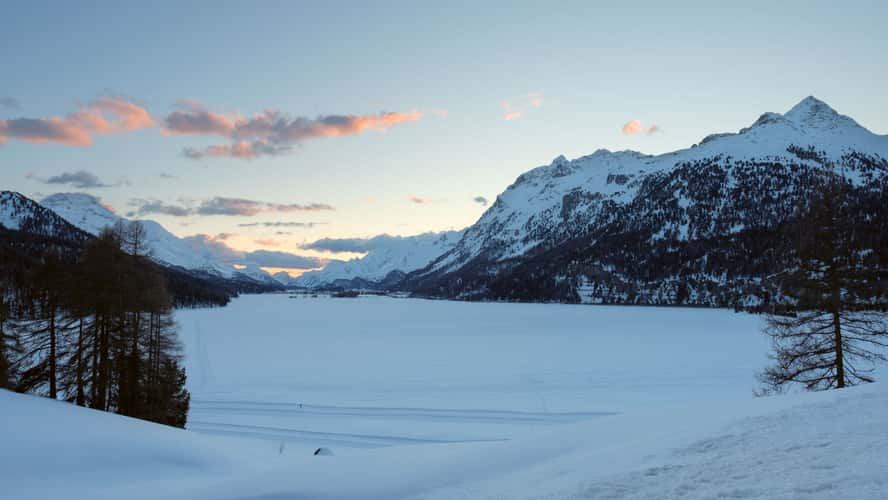
Tomasee (Lake Toma), Graubünden, Switzerland
85.3 km to location
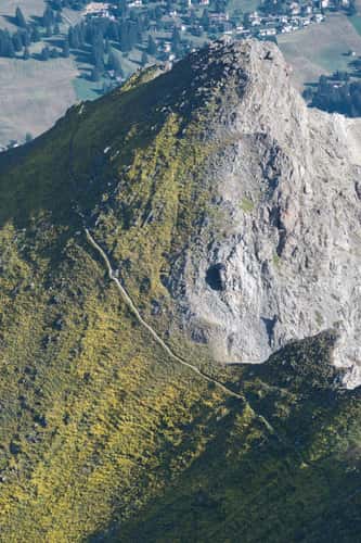
Lenzerhorn view
33.16 km to location
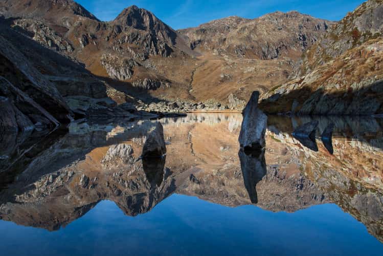
Lai Urlaun (Lake Urlaun), Graubünden, Switzerland
84.02 km to location
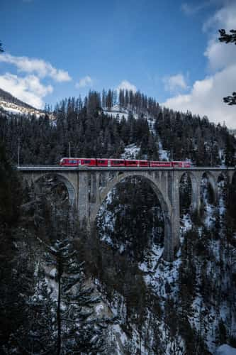
Wiesner Viadukt
28.96 km to location
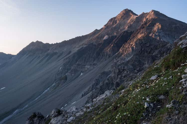
Piz Languard and Piz Albris
9.66 km to location
Alp Sanaspans
34.52 km to location
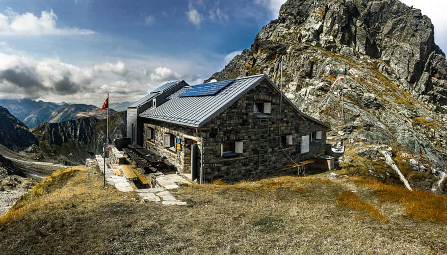
Medelserhütte - Graubünden, Switzerland
67.77 km to location
Crap da Sass (Drone)
4.92 km to location
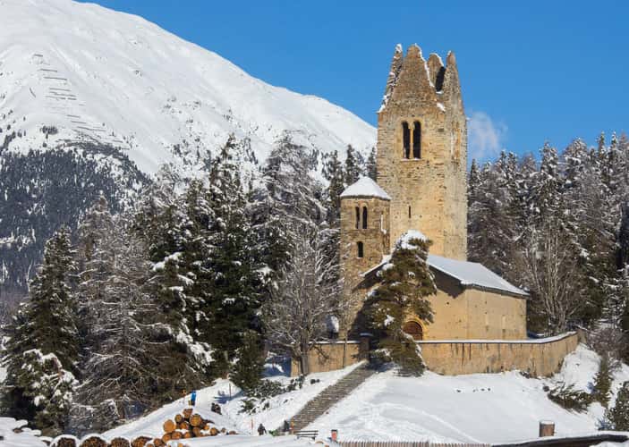
Kirche San Gian
12.66 km to location
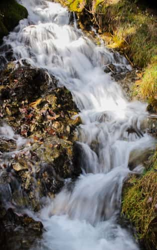
Waterfall
55.07 km to location
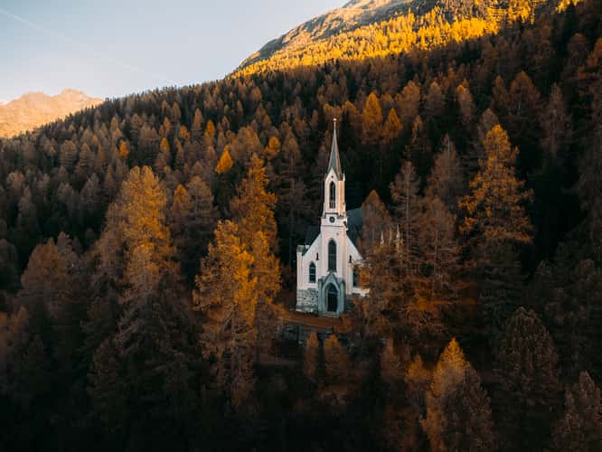
French Church St. Moritz (Drone)
8.62 km to location
Celerina Viewpoint
13.17 km to location
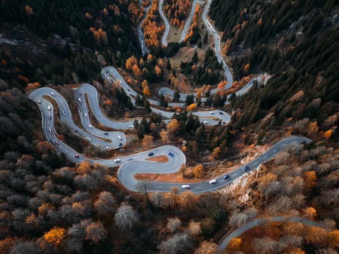
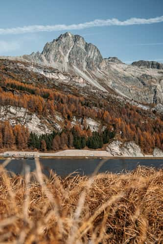
Maloja Pass (Drone)
5.9 km to location

Cascada da Bernina (Drone)
14.93 km to location
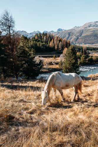
Surlej
5.18 km to location
Lenzerhorn, Northwest crest
33.8 km to location
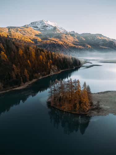
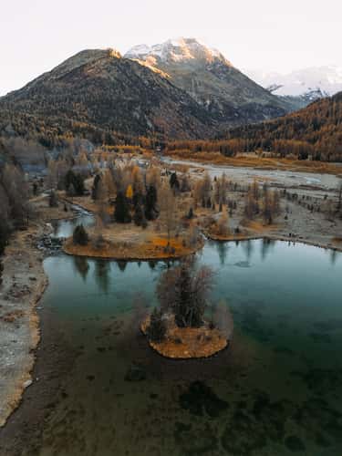
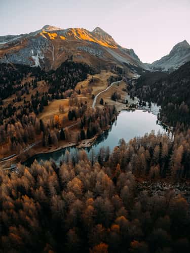
Plaun da Lej (Drone)
2.25 km to location
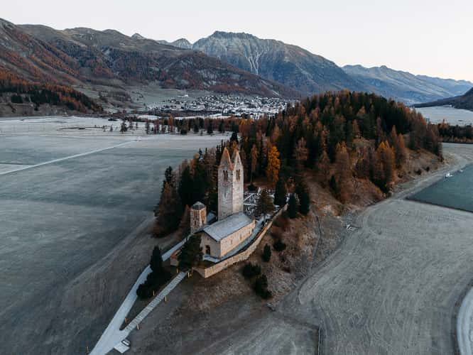
Church San Gian (Drone)
12.78 km to location
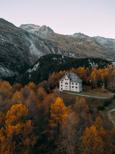
Maloja Manor (Drone)
6.23 km to location
Morteratsch View front (Drone)
14.67 km to location
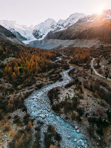
Val Morteratsch (Drone)
14.61 km to location
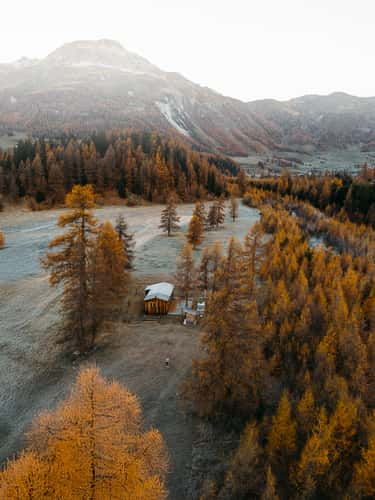
Celerina River & Cabin (Drone)
13.16 km to location
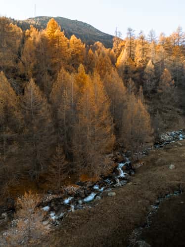
Ova d'Avra (Drone)
20.41 km to location
Morteratsch River Bridge (Drone)
14.17 km to location
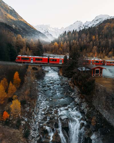
Railway Bridge Morteratsch (Drone)
14.9 km to location
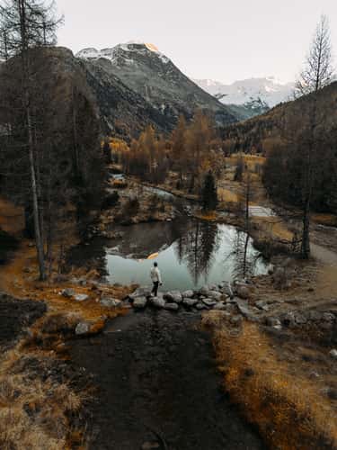
Lake Palpuognia (Drone)
16.69 km to location
Morteratsch View rear (Drone)
14.74 km to location
Maloja Parking Viewpoint
4.58 km to location
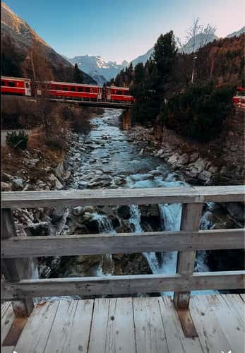
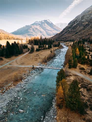
Bridge Morteratsch
14.89 km to location