44 photos in 21 spots
- Show
- all photos
- only best photo/spot
- Order by
- Popularity
- Newest
Svaneke Lighthouse
30.11 km to location
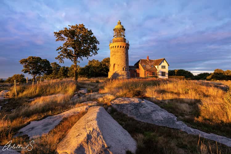
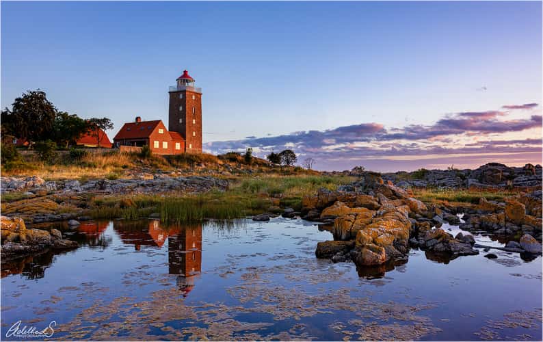
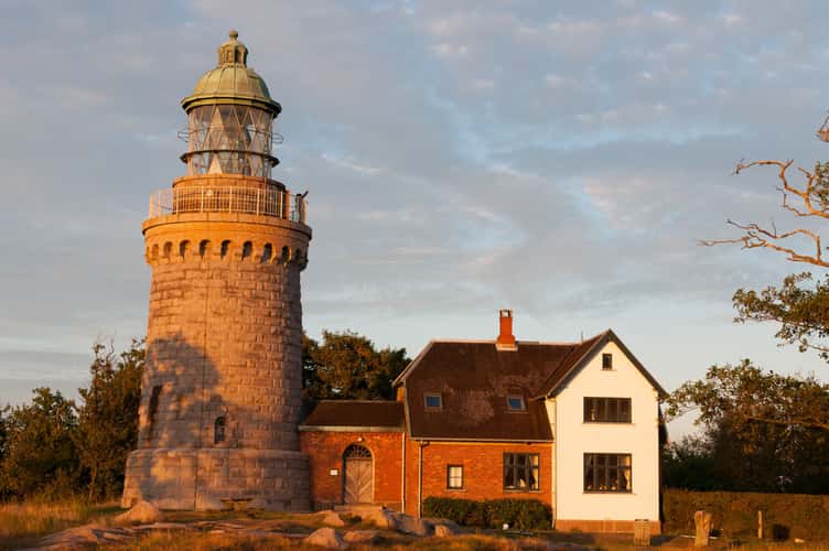
Hammeren Fyr (Lighthouse)
0.91 km to location
Hammeren Fyr (Lighthouse)
0.91 km to location
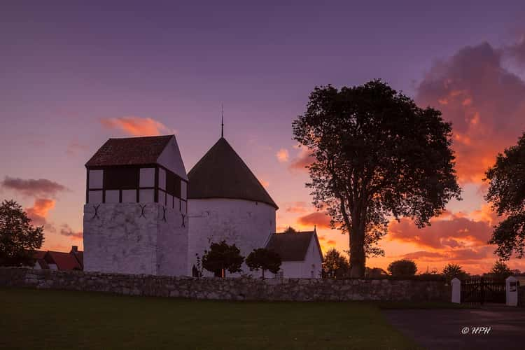
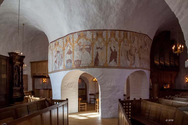
Nylars Church, Bornholm
23.08 km to location
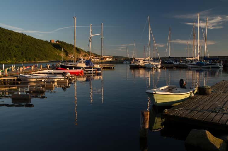
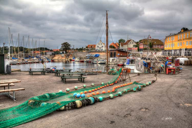
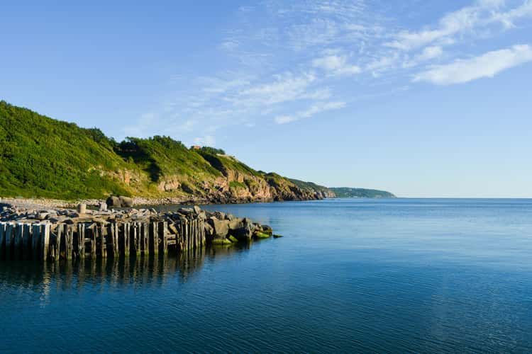
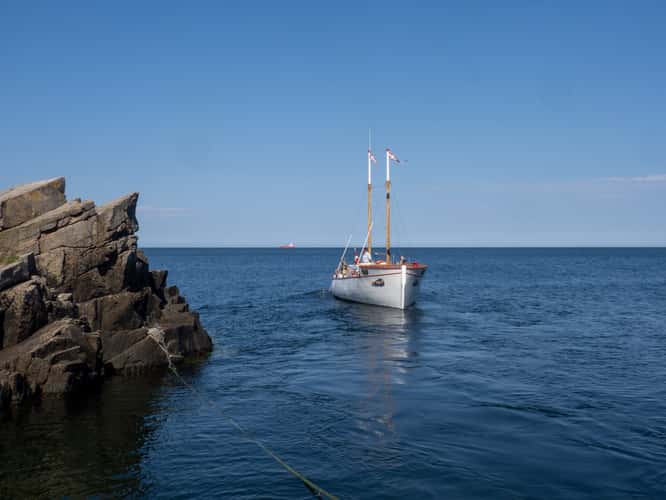
Harbour at the west coast of Bornholm (Denmark)
0 km to location
Nylars Church, Bornholm
23.08 km to location
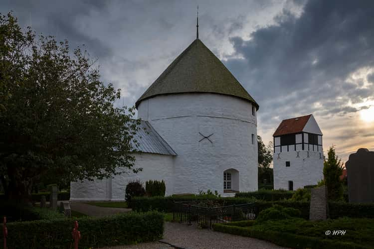
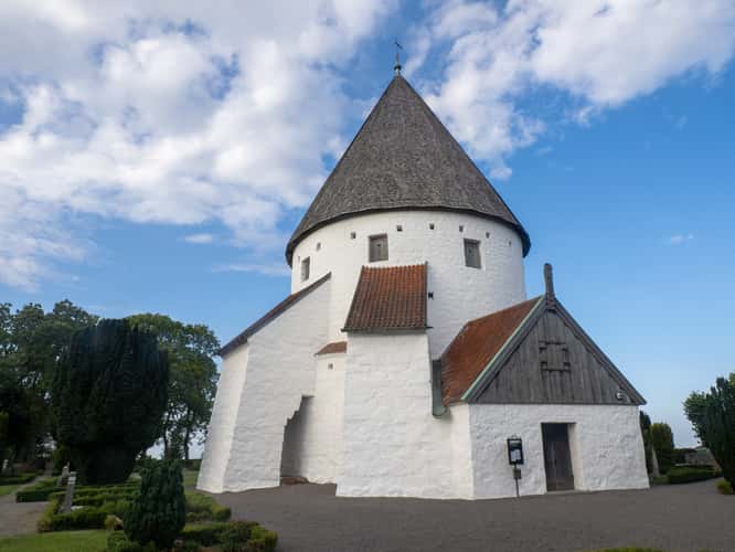
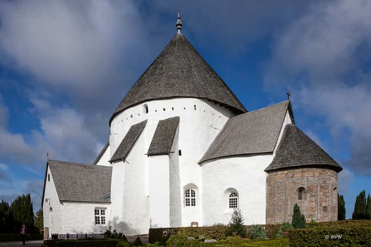
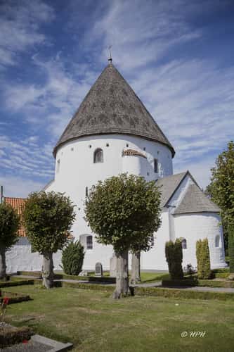
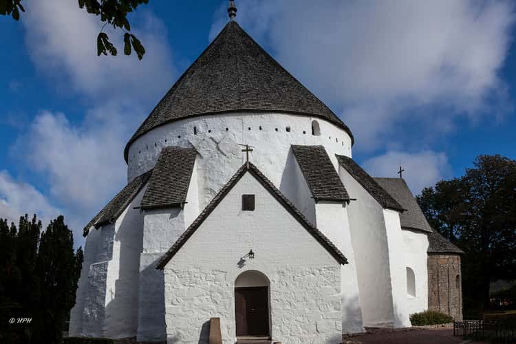
Olsker Church
5.59 km to location
Ertholmene
27.65 km to location
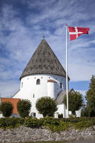
Olsker Church
5.59 km to location
Hammeren Fyr (Lighthouse)
0.91 km to location
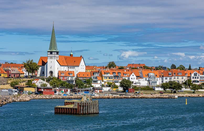
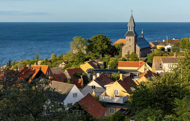
View of Rønne
20.83 km to location
Hammeren Fyr (Lighthouse)
0.91 km to location
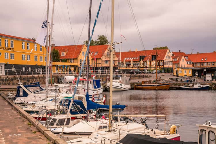
Svaneke harbour
29.37 km to location
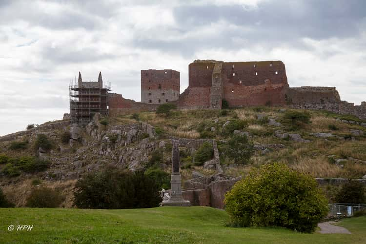
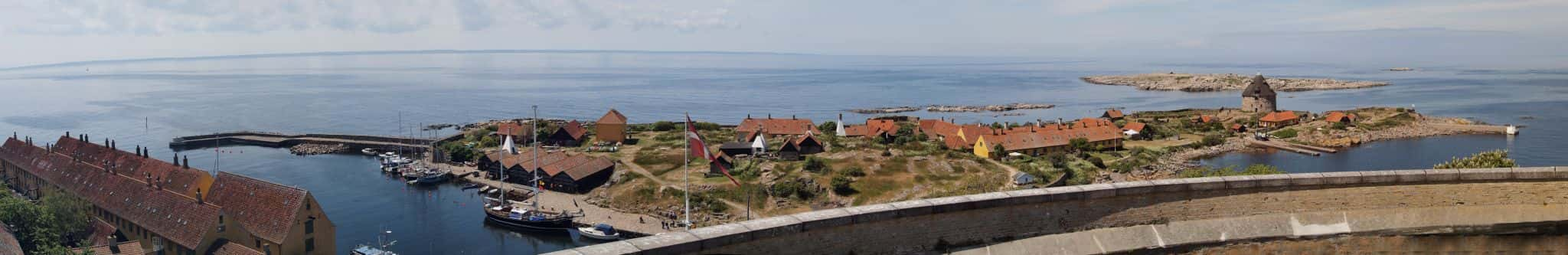
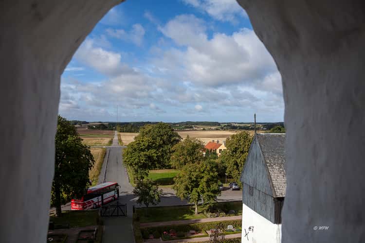
Hammershus
0.84 km to location
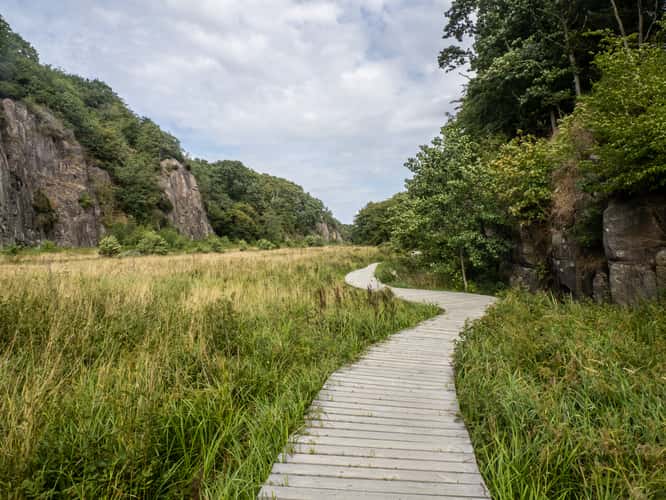
Ekkodalen, Bornholm
20.98 km to location
Østerlars Church
17.62 km to location
Østerlars Church
17.62 km to location
Harbour at the west coast of Bornholm (Denmark)
0 km to location
Olsker Church
5.59 km to location
Svaneke harbour
29.37 km to location
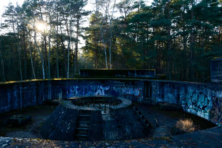
WW2 Bunkers at Dueodde
37.17 km to location
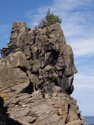
Heligdommersklipperne / Sanctuary cliffs
10.81 km to location

Coast in Allinge, Bornholm
3.14 km to location
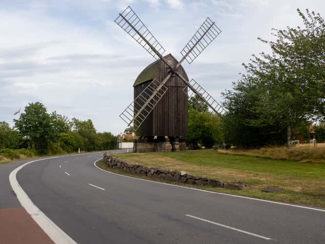
Svaneke windmill
28.43 km to location
Gudhjem vantage point
15.16 km to location
Østerlars Church
17.62 km to location
Østerlars Church
17.62 km to location
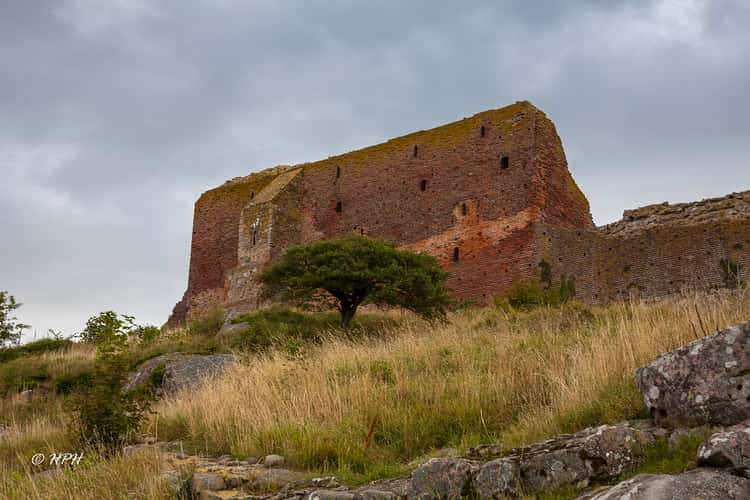
Hammershus
0.84 km to location
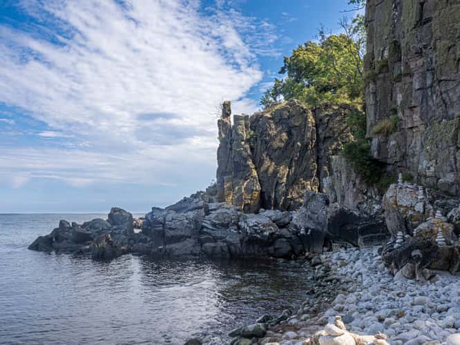
Heligdommersklipperne / Sanctuary cliffs
10.81 km to location
Heligdommersklipperne / Sanctuary cliffs
10.81 km to location