844 photos in 257 spots
- Show
- all photos
- only best photo/spot
- Order by
- Popularity
- Newest
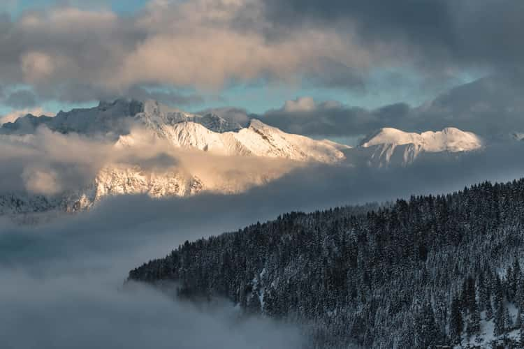
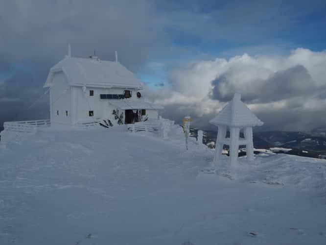
Nebelhorn-view at night
73.55 km to location
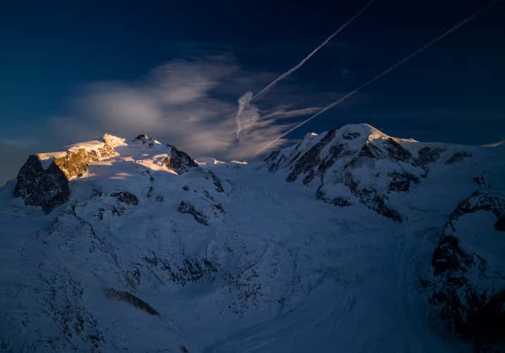
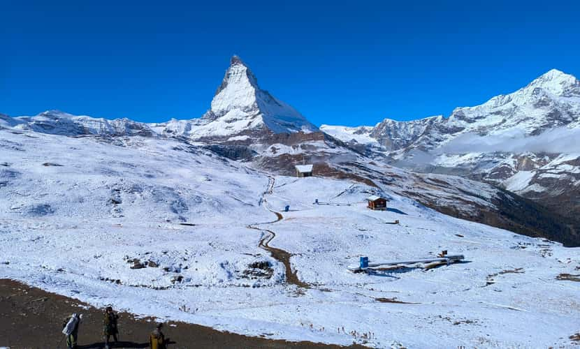
Gornergrat
175.13 km to location

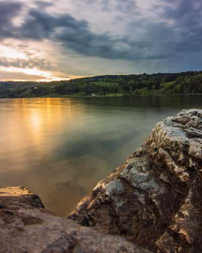
Lake Bled - Wooden Jetty - Rock covered with coins
342.91 km to location
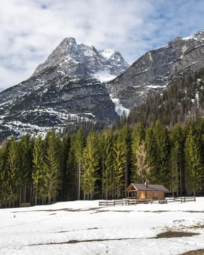
Kronberg
51.25 km to location
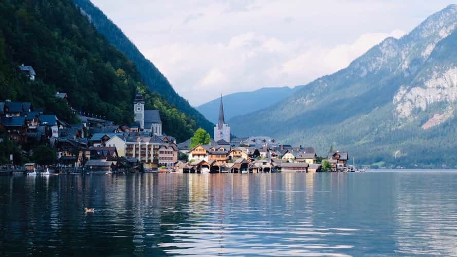
Down the lake view of Hallstatt
310.2 km to location
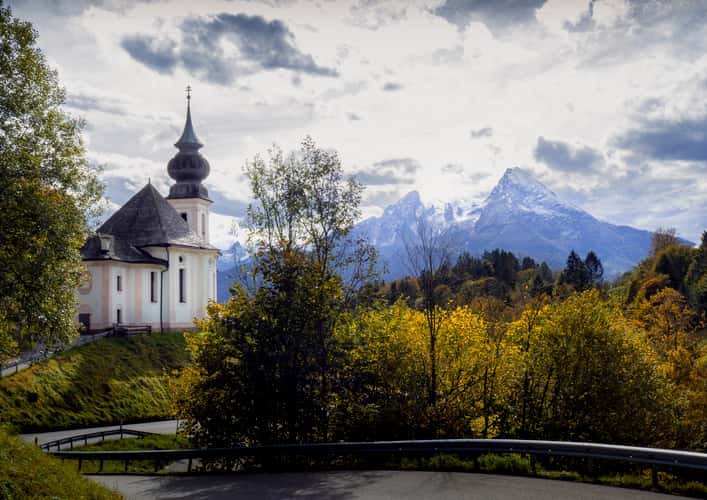
Maria Gern Church, Bavaria - Hill View
266.28 km to location
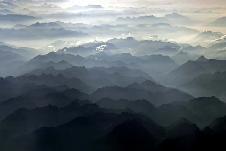
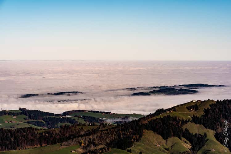
Traffic over the Alps
253.72 km to location
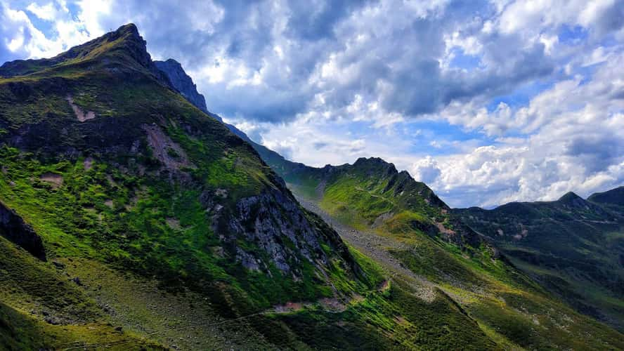
Allgäuer Hochalpen from Wannenkopf
73.54 km to location
Hohe Salve in Tirol
202.87 km to location
Alpsee, Ostallgäu in Bavaria
86.05 km to location

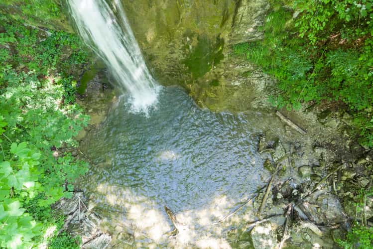
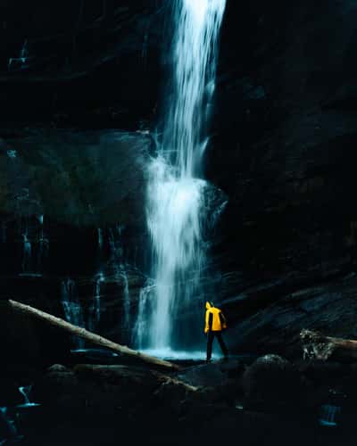
Hölleitenbach, Waterfall
382.91 km to location
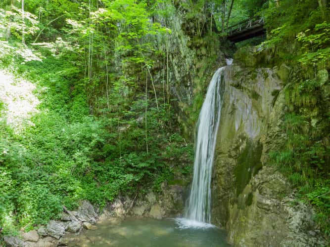
Hölleitenbach, Waterfall
382.91 km to location
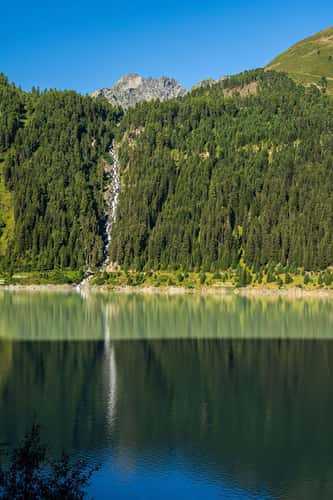
Hölleitenbach, Waterfall
382.91 km to location
Gepatsch Stausee
82.64 km to location
Zirbitzkogel
372.84 km to location
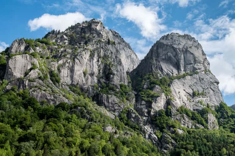
Precipizio degli Asteroidi
70.83 km to location
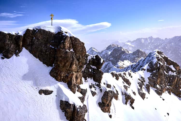
View from the Zugspitze
116.6 km to location
Gornergrat
175.13 km to location
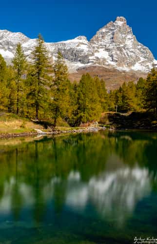
Blue Lake, Aosta Valley
189.48 km to location

Zugspitze Sunset - View of the Eibsee
116.56 km to location
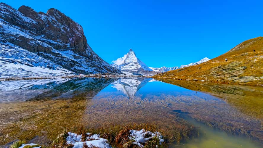
Riffelsee with Matterhorn reflection
176.43 km to location
Schwarzsee, Zermatt
179.29 km to location
Eibsee and Zugspitze
118.94 km to location
Lago Sorapis Trail
200.75 km to location
Onkeljoch
170.96 km to location
Otro's waterfall
175.45 km to location
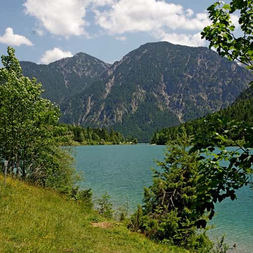
Plansee
109.29 km to location
Spitzstein, Chiemgauer Alps
215.47 km to location
Monte Bianco Hut
243.83 km to location
Hörndlwand, Chiemgauer Alps (north-east view, Drone)
238.61 km to location