227 photos in 116 spots
- Show
- all photos
- only best photo/spot
- Order by
- Popularity
- Newest
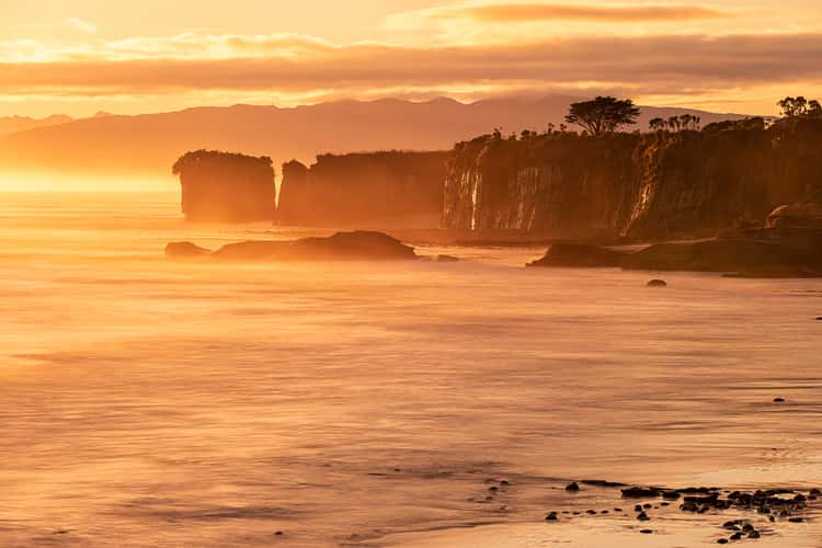
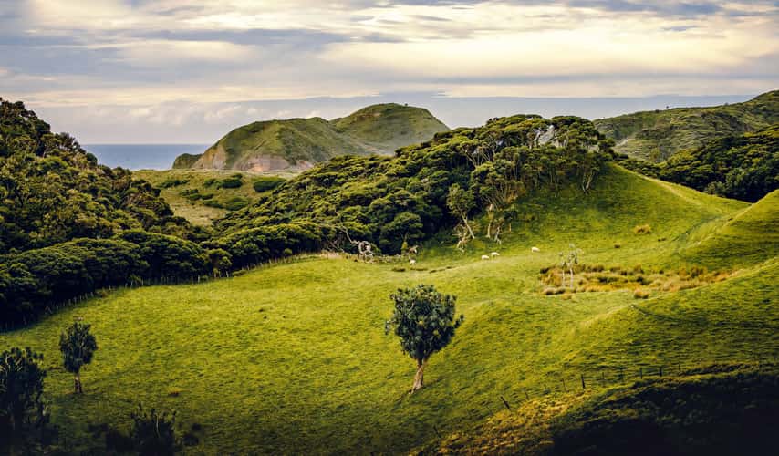
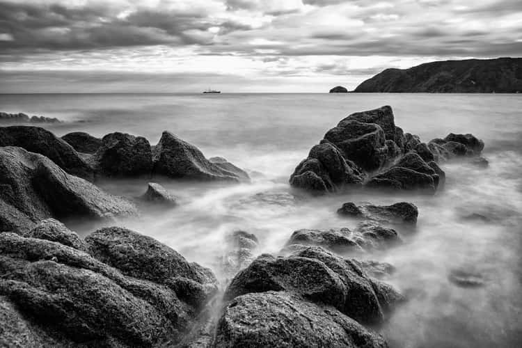
Cape Foulwind, New Zealand
379.97 km to location
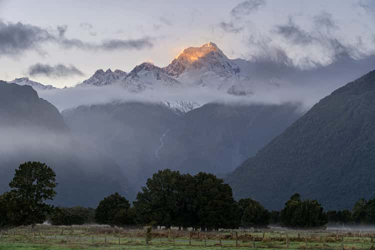
Lake Mathieson Road, Fox Glacier, NZ
154.46 km to location
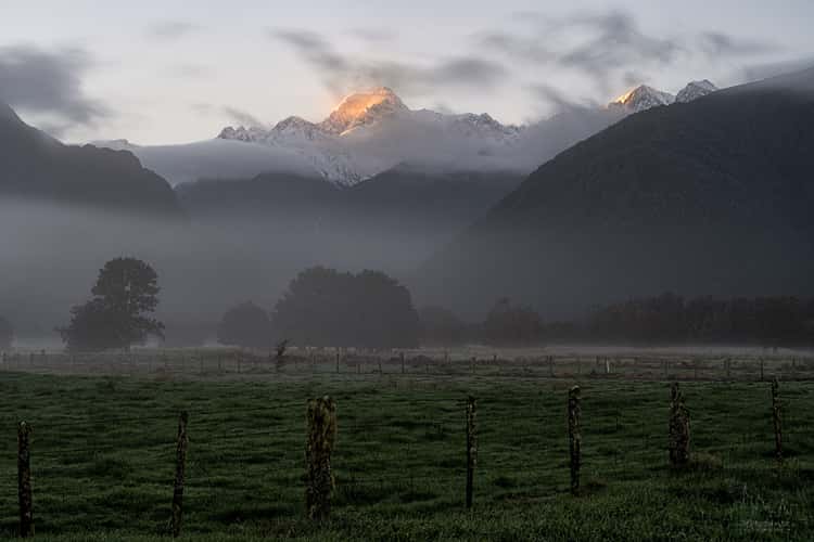
Lake Mathieson Road, Fox Glacier, NZ
154.46 km to location
Lake Mathieson Road, Fox Glacier, NZ
154.46 km to location
Lake Mathieson Road, Fox Glacier, NZ
154.46 km to location
Lake Mathieson Road, Fox Glacier, NZ
154.46 km to location
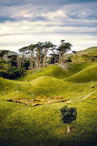
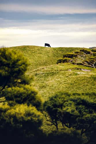
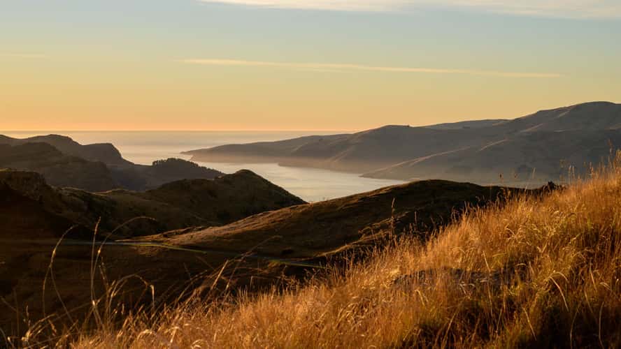
Puponga Grasslands II
550.32 km to location
Puponga Grasslands II
550.32 km to location
Puponga Grasslands II
550.32 km to location
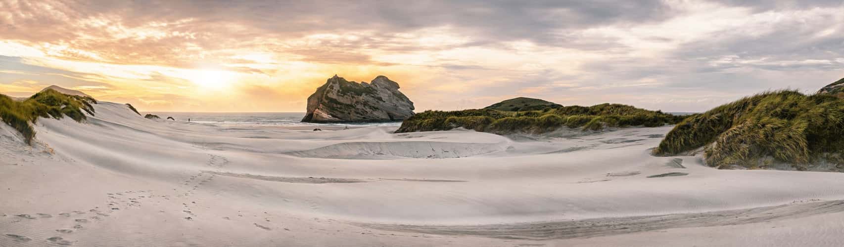
Wharariki Beach
550.63 km to location

Wainui Bay
533.77 km to location
Wainui Bay
533.77 km to location
Wainui Bay
533.77 km to location
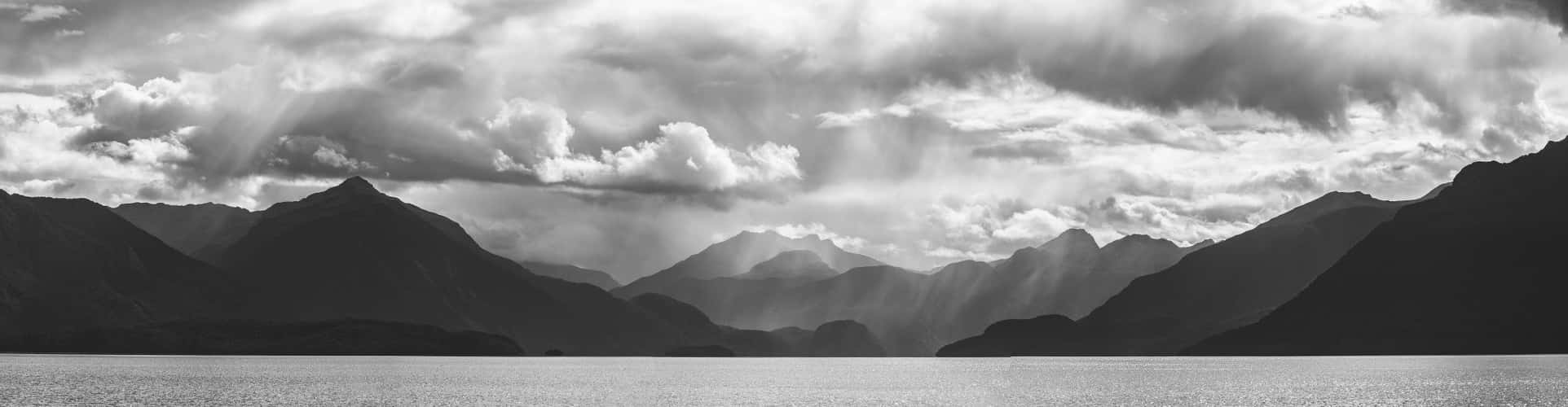
Lake Te Anau
115.22 km to location
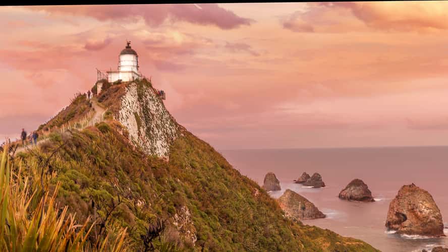
Nugget Point Lightouse
205.38 km to location
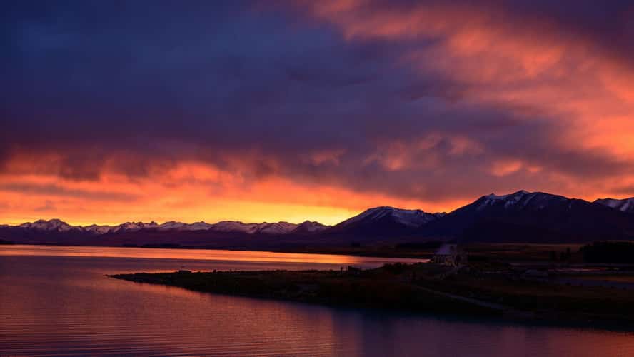
A wider angle on the Tekapo church
135.87 km to location
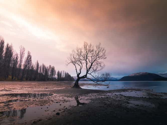
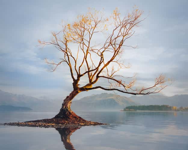
Lake Wanaka - The lonely Tree
5.58 km to location
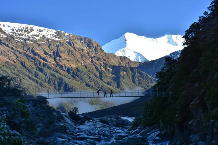
Rob Roy Track - Matukituki River Bridge
32 km to location
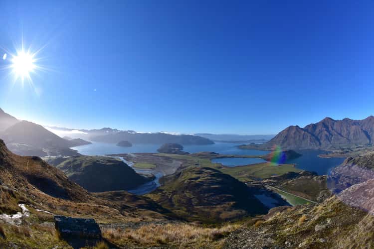
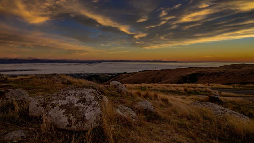
Rocky Peak
7.93 km to location
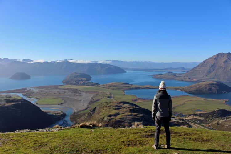
Rocky Peak
7.93 km to location
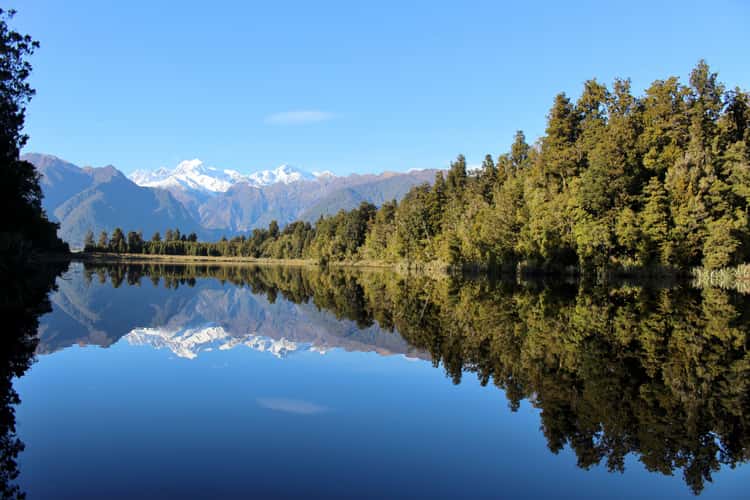
Lake Matheson
155.9 km to location
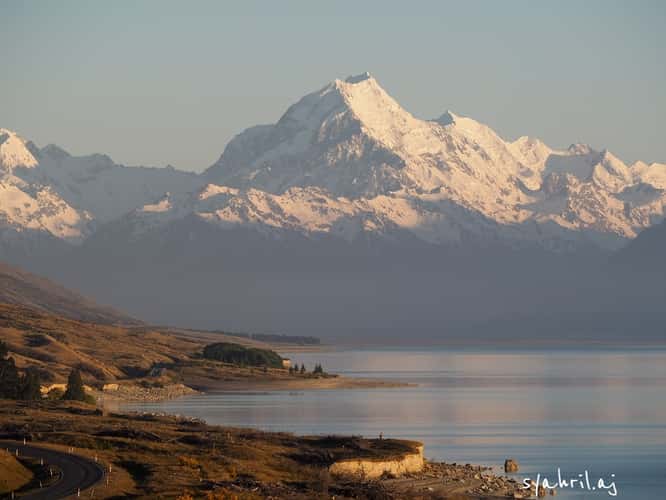
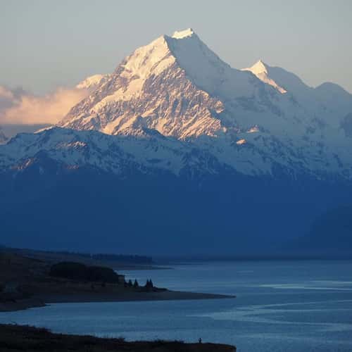
Lake Pukaki Viewpoint (Mount Cook Road)
108.16 km to location
Lake Pukaki Viewpoint (Mount Cook Road)
108.16 km to location
Sugar Loaf
310.57 km to location
Sugar Loaf
310.57 km to location
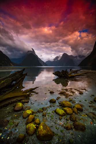
Milford Sound Sunrise at low Tide South Island
89.41 km to location
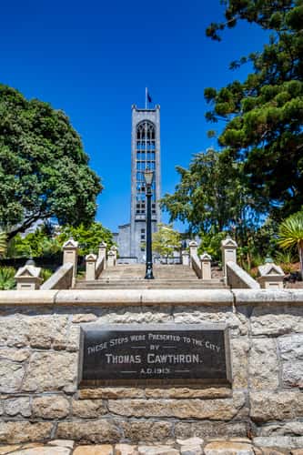
Christ Church Cathedral, Nelson South Island
511.08 km to location
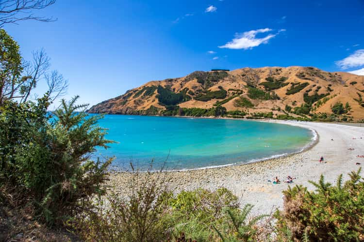
Pepin Island Cable Bay Nelson South Island
527.83 km to location
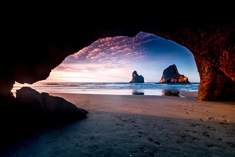
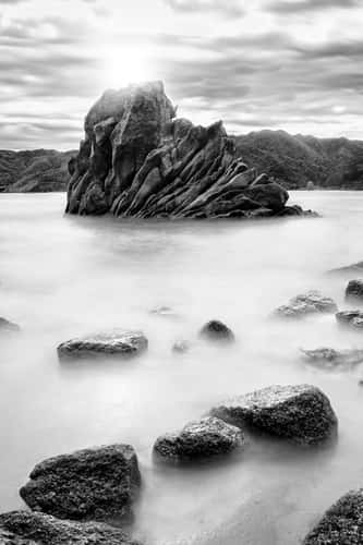
Wharariki Beach Cave, Archway Islands, South Island
550.23 km to location
Lake Wanaka - The lonely Tree
5.58 km to location