227 photos in 116 spots
- Show
- all photos
- only best photo/spot
- Order by
- Popularity
- Newest
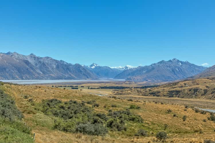
Mount Sunday/Edoras
193.29 km to location
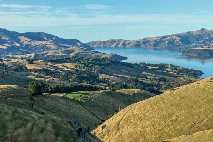
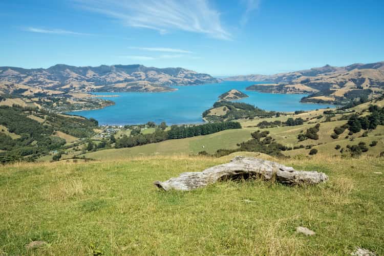
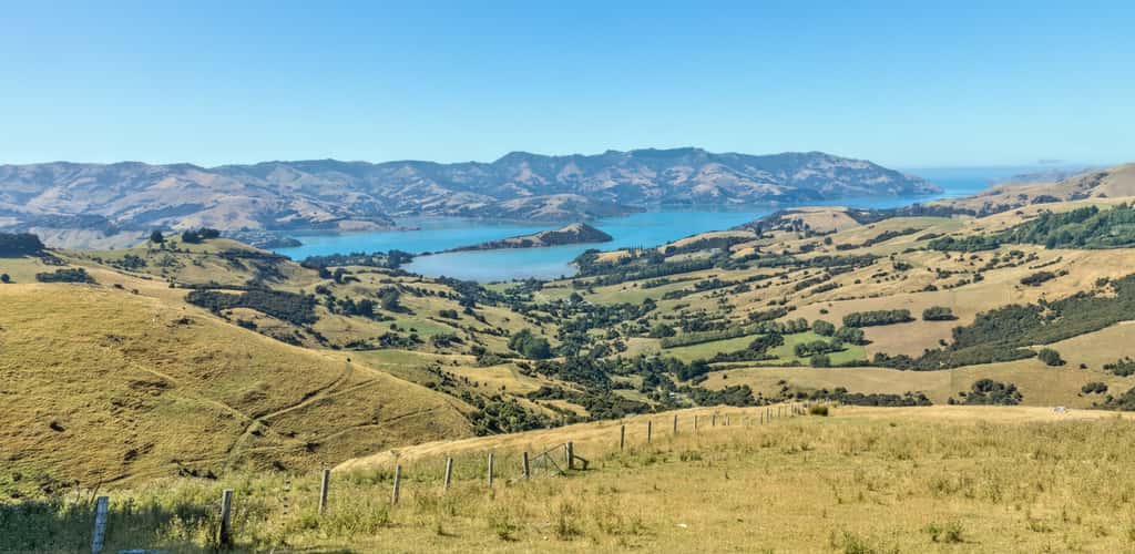
Akaroa – Summit Road
329.58 km to location
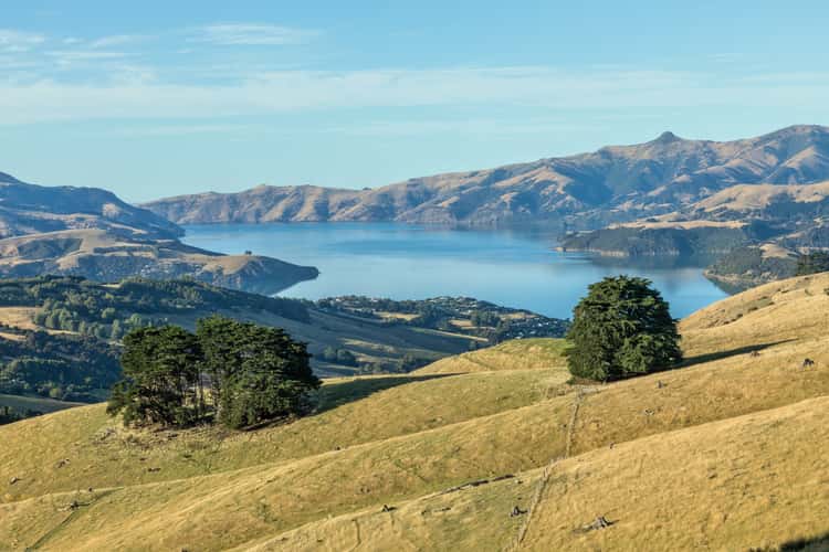
Akaroa – Summit Road
329.58 km to location
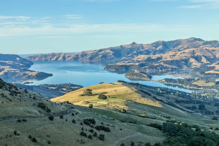
Akaroa – Summit Road
329.58 km to location

Akaroa – Summit Road
329.58 km to location
Akaroa – Summit Road
329.58 km to location
Akaroa – Summit Road
329.58 km to location
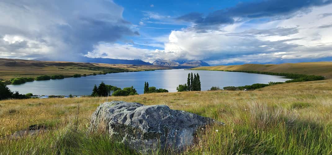
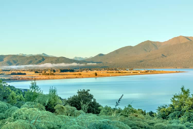
Lake Alexandrina, Canterbury
136.06 km to location
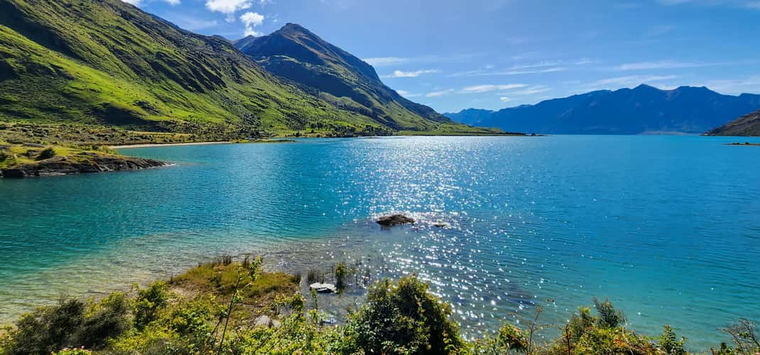
The Neck at Lake Hawea, NZ
29 km to location
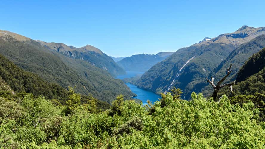
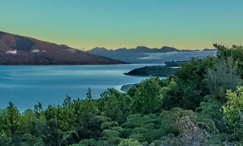
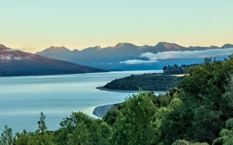
Doubtful Sound Lookout
172.56 km to location
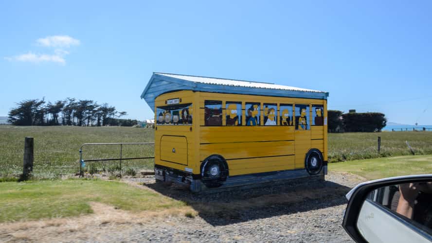
Simpsons Bus Stop Colac Bay
208.19 km to location
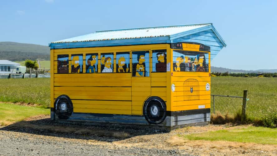
Simpsons Bus Stop Colac Bay
208.19 km to location
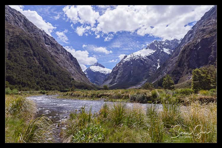
Roadside Te Anau to Milford Sound
127.46 km to location
Roadside Te Anau to Milford Sound
127.46 km to location
Roadside Te Anau to Milford Sound
127.46 km to location
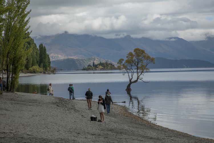
Lake Wanaka - The lonely Tree
5.58 km to location
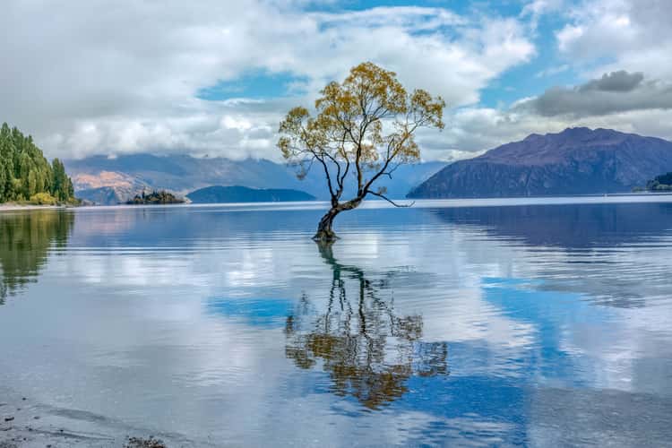
Lake Wanaka - The lonely Tree
5.58 km to location
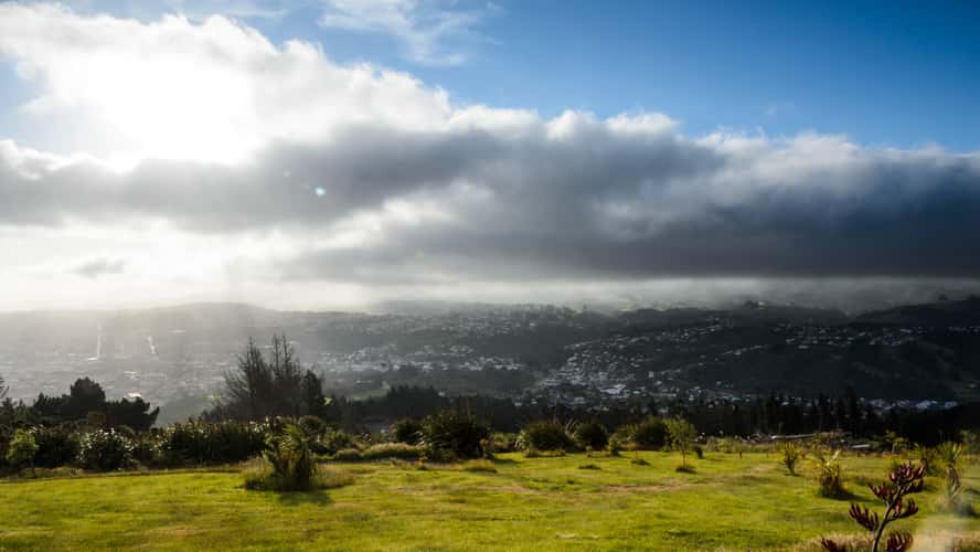
Signal Hill Lookout
175.6 km to location
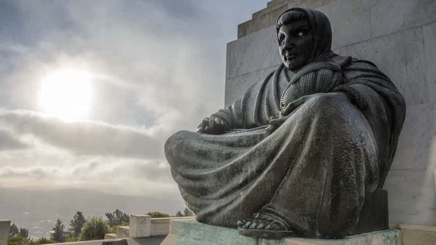
Signal Hill Lookout
175.6 km to location
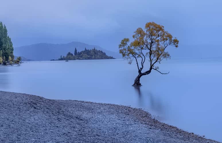
Lake Wanaka - The lonely Tree
5.58 km to location
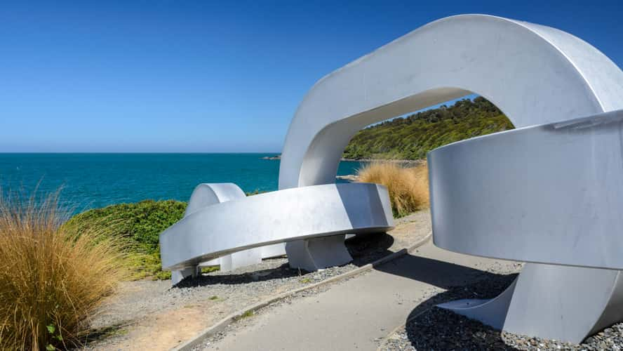
Stirling Point
221.63 km to location
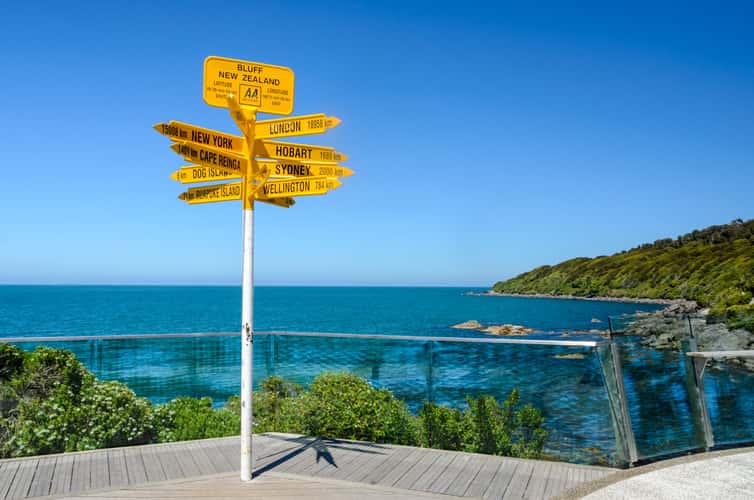
Stirling Point
221.63 km to location

Sunset at Kingston Lake Freedom Camp
72.14 km to location
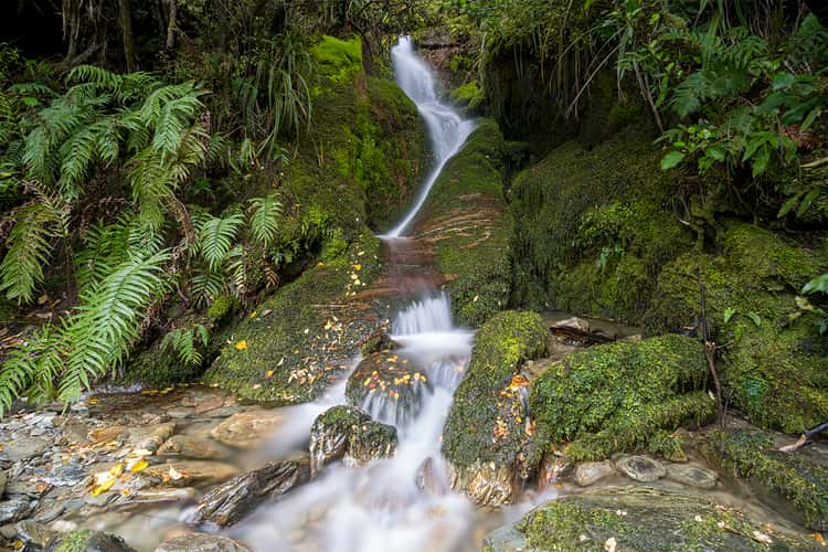
Shirt Tail Track Waterfall
76.85 km to location

Koropuku Falls, the Catlins
211.47 km to location
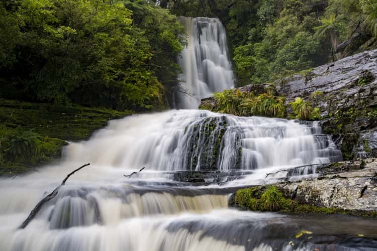
Mc Lean Falls
211.37 km to location
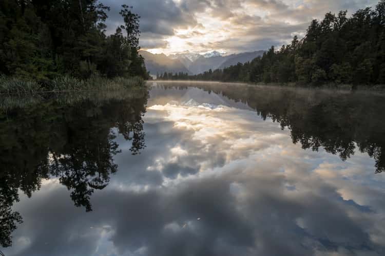
Lake Matheson
155.9 km to location
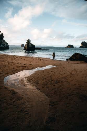
Cathedral Cove beach
1039.55 km to location
Monkey Creek
82.45 km to location
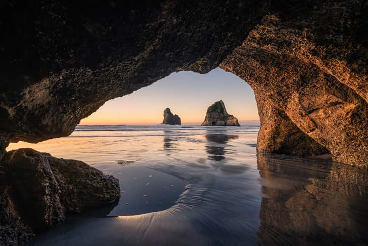
Wharariki Beach Cave, Archway Islands, South Island
550.23 km to location