80 photos in 59 spots
- Show
- all photos
- only best photo/spot
- Order by
- Popularity
- Newest
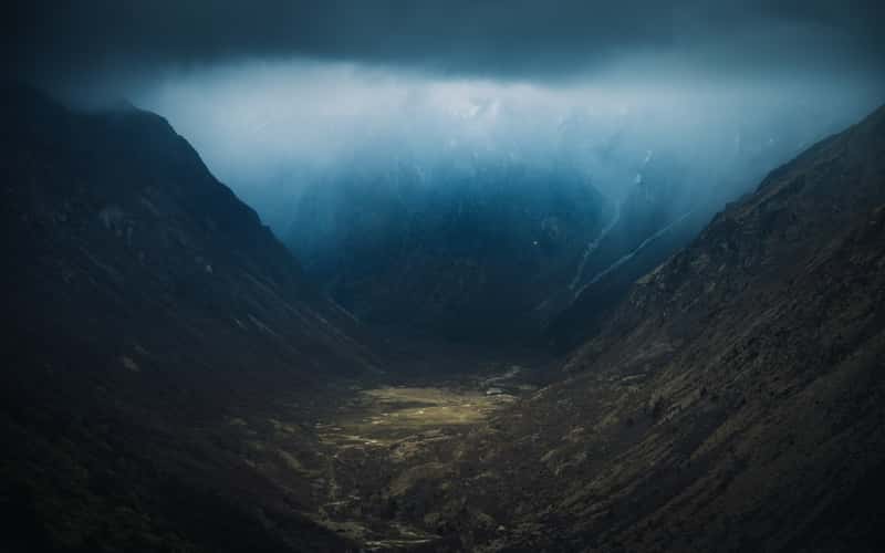
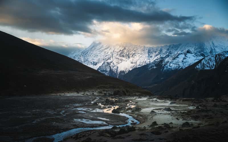
Jare La Pass, Way down Valleyview
1795.01 km to location
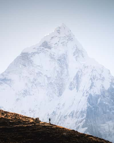
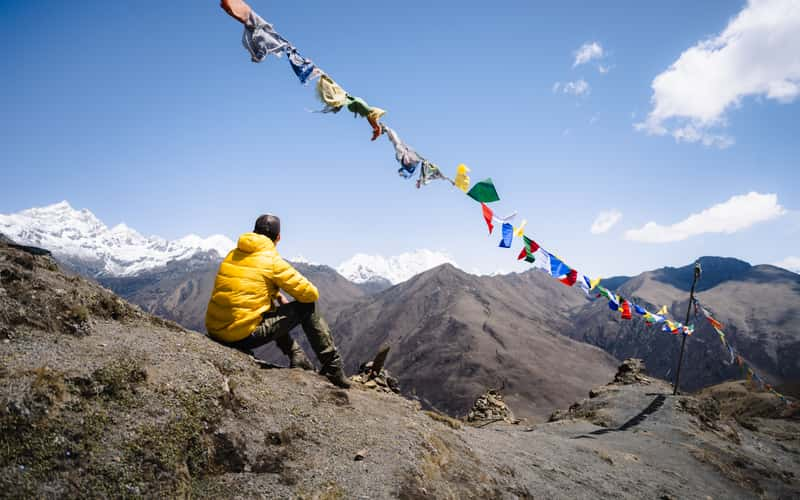
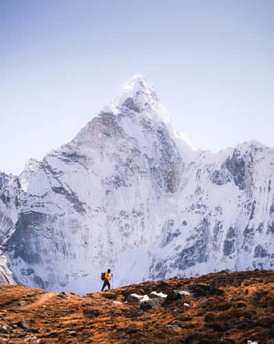
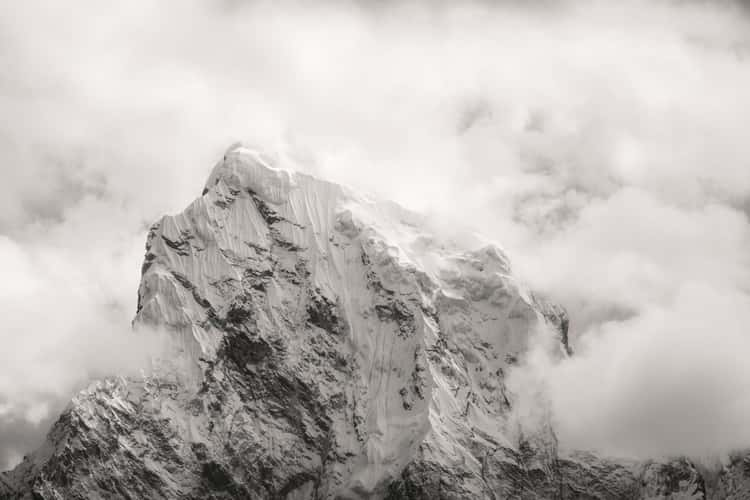
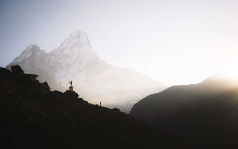
EBC Path, Ama Dablam View
1618.47 km to location
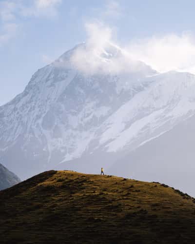
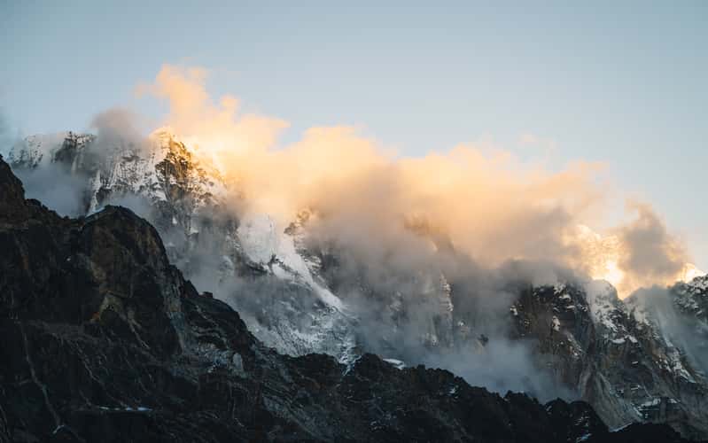
Kangchenjunga Nationalpark
1744 km to location
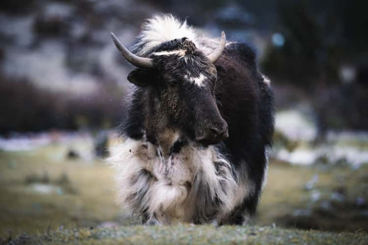
Yaks, Tashijaithang Valley
1795.56 km to location
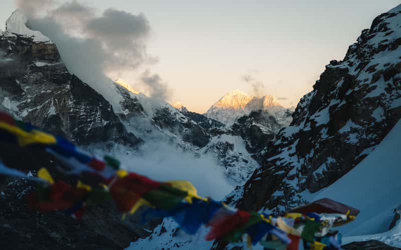
Gogu La Pass
1796.85 km to location

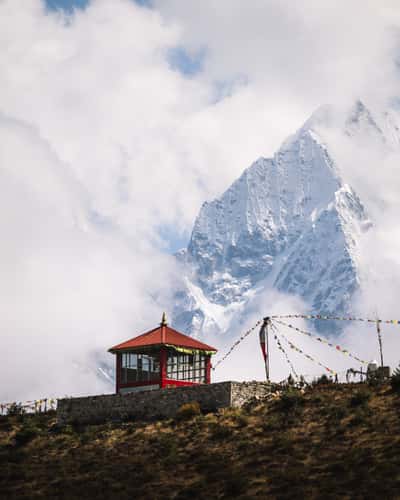
Lingzhi to Chebisa Hike, Prayer Wheel
1797.46 km to location
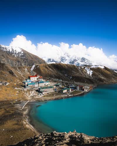
Gokyo village
1610.16 km to location
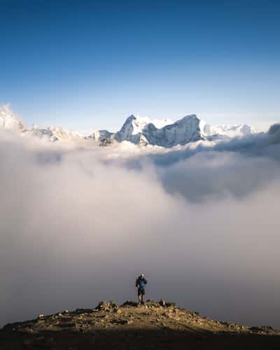
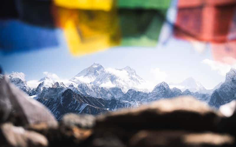
Trail up Gokyo Ri
1609.44 km to location
Jichu Drake, Tserim Kang View
1796.33 km to location
Cho La Pass
1613.35 km to location
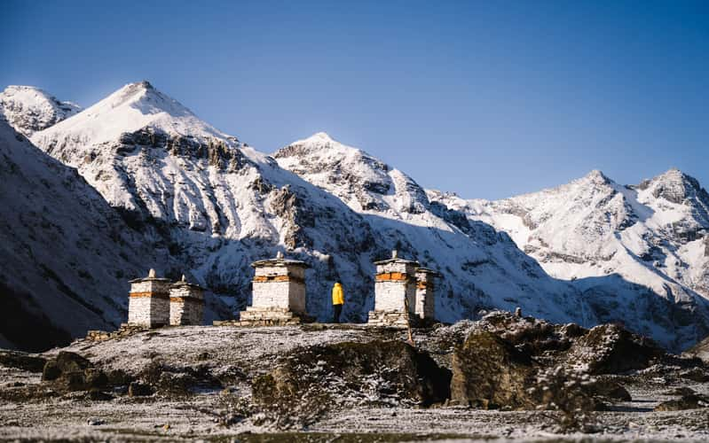
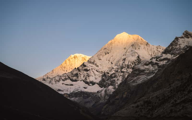
Jomolharo Basecamp, Stupas
1798.1 km to location
Cho La Pass
1613.35 km to location
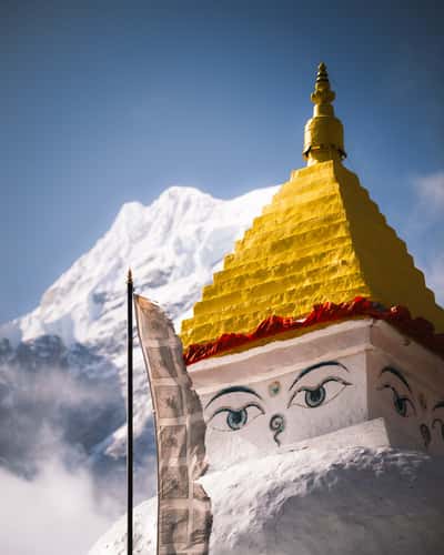
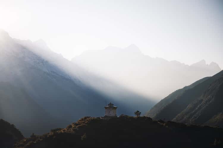
Stupas, Religious houses from upper Thame
1618.04 km to location
Dingboche Stupa
1624.26 km to location
Kongma La Pass, upper eastern plateau
1622.88 km to location
EBC Path along Chola Lake
1617.88 km to location
Renjo La Pass
1608.94 km to location
Renjo La Pass, Winding Rivers
1609.81 km to location
Cholatse, from Cho La Pass
1613.13 km to location
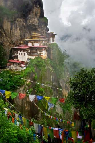
Tigers Nest (Taktsang Lhakhang)
1822.78 km to location
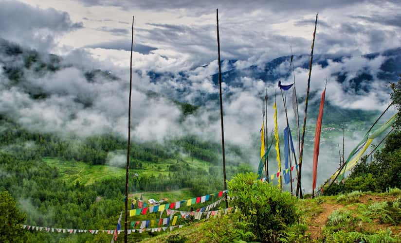
Tigers Nest (Taktsang Lhakhang)
1822.78 km to location
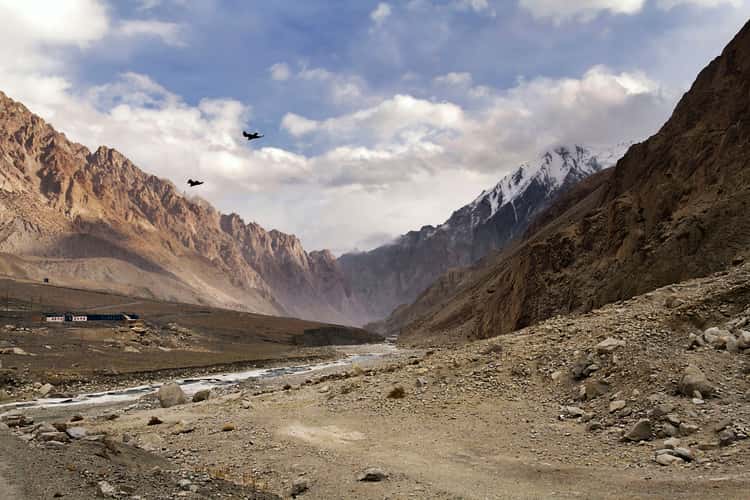
Karakoram Highway
111.73 km to location

Chenab River
738.64 km to location
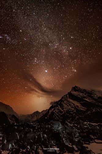
Ride the Milky way. Nr 2
1519.34 km to location
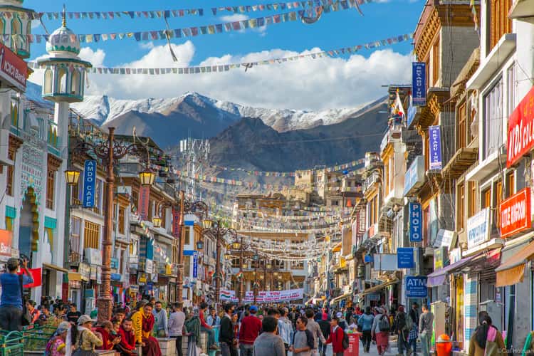
Leh Market
552.38 km to location
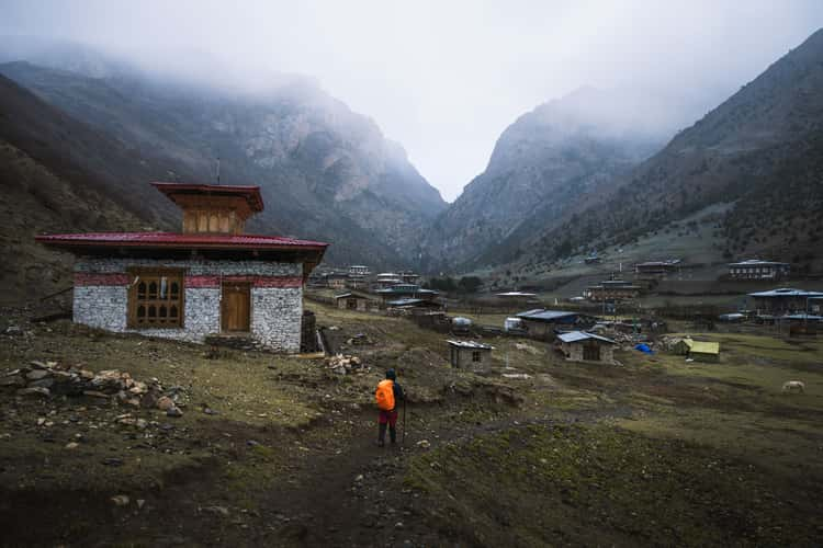
Chebisa Village
1796.87 km to location
Cho La Pass
1613.35 km to location
Stupas, Religious houses from upper Thame
1618.04 km to location
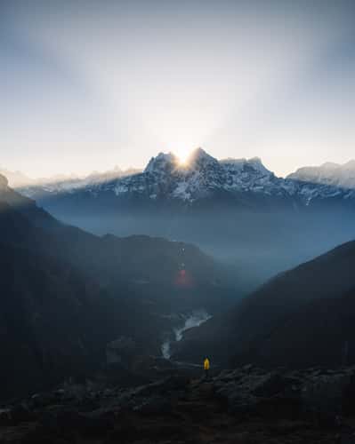
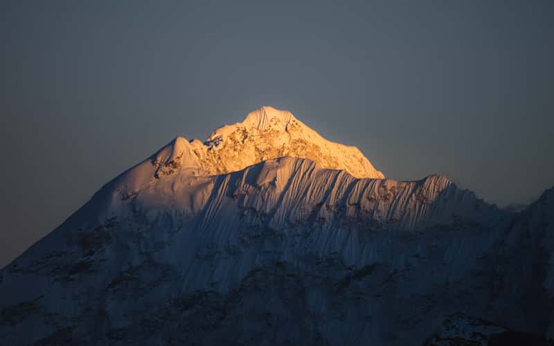
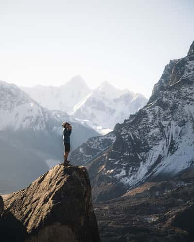
Summit Ridge, Sundar Peak
1615.78 km to location
Ama Dablam View, Pangboche
1624.61 km to location