215 photos in 215 spots
- Show
- all photos
- only best photo/spot
- Order by
- Popularity
- Newest
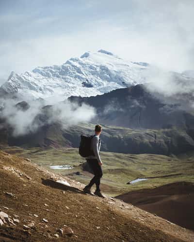
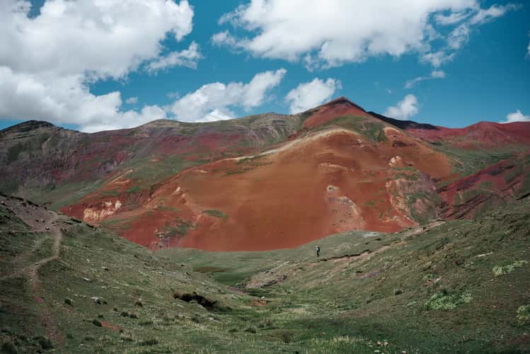
View to Ausangate, Vinicunca Rainbow Mountain
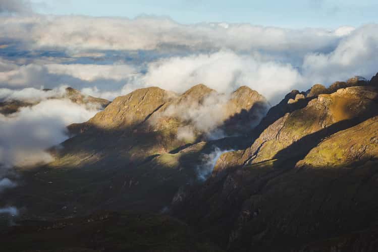
Mountain Range view from Rainbow Mountain, Vinicunca
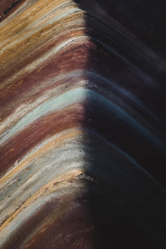
Vinicunca Rainbow Mountain
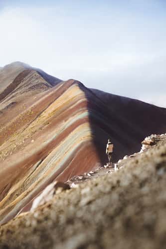
Vinicunca Rainbow Mountain
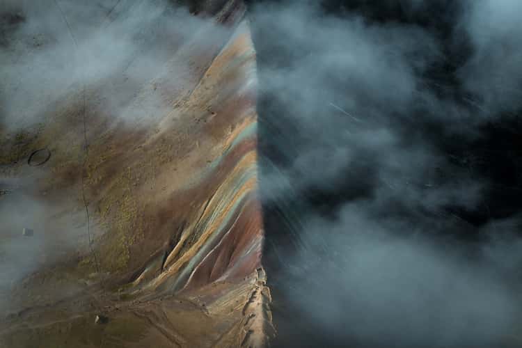
Vinicunca Rainbow Mountain
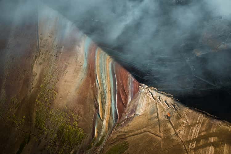
Vinicunca Rainbow Mountain
Area around Playa Mendieta, Paracas National Reserve
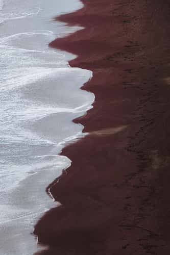
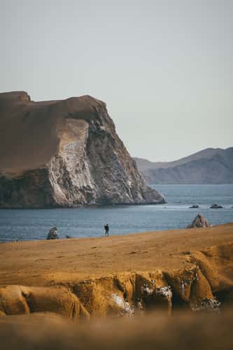
Playa Roja, Paracas National Reserve
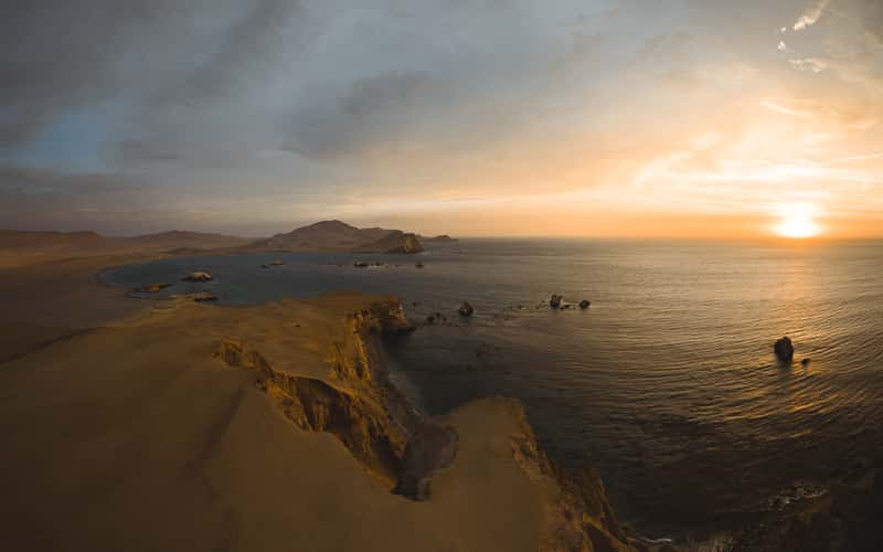
Area around Playa Mendieta, Paracas National Reserve
Area around Playa Mendieta, Paracas National Reserve
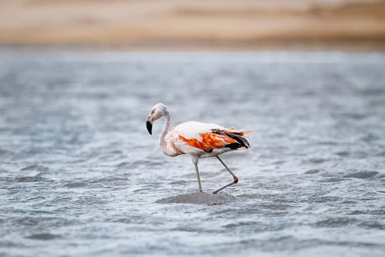
Flamingos at Laguna Supay, Paracas National Reserve
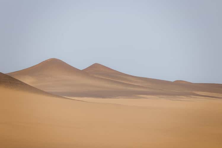
Dunes in Península de Paracas
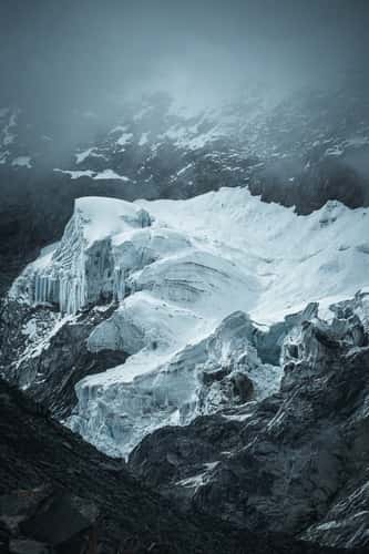
Glaciers near Laguna Parón
View to Mountain Range near Laguna Parón
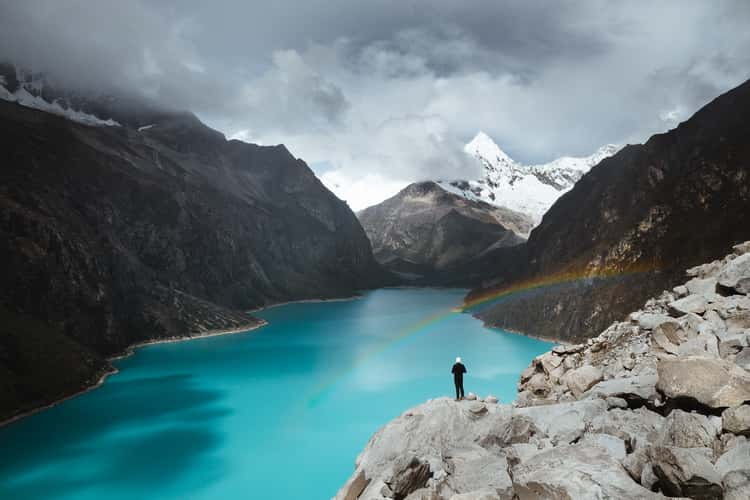
Laguna Paron

Laguna Paron

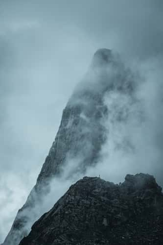
View on Nevado Huascarán, Mancos
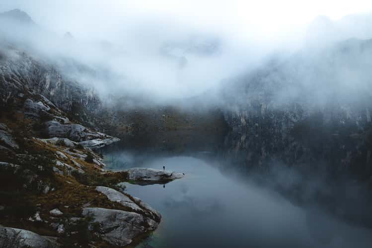
Churup Lake
Hiking trail to Laguna Churup
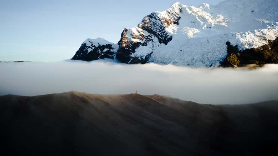
Apacheta Chucura pass, Ausangate
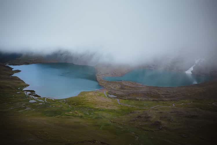
Ponds with view to south side Ausangate
Ponds next to Jatun Pucacocha, Ausangate
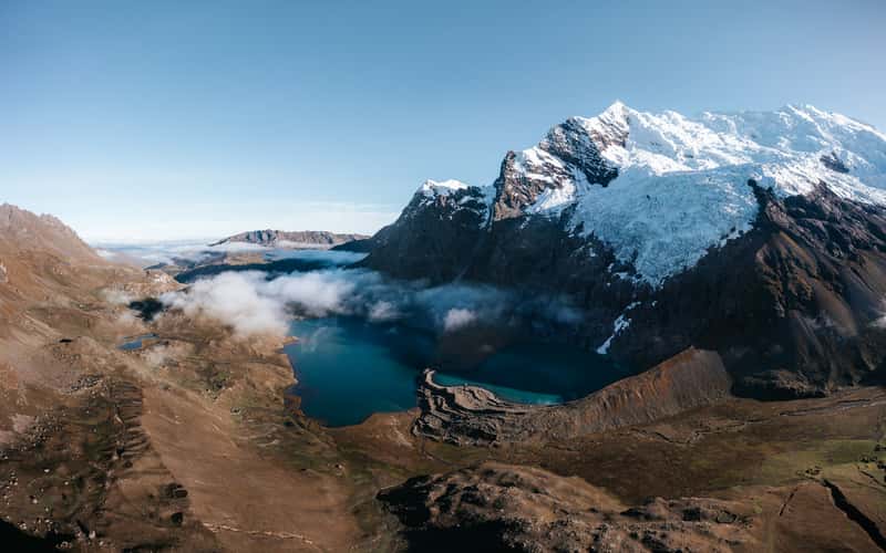
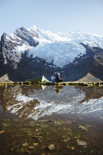
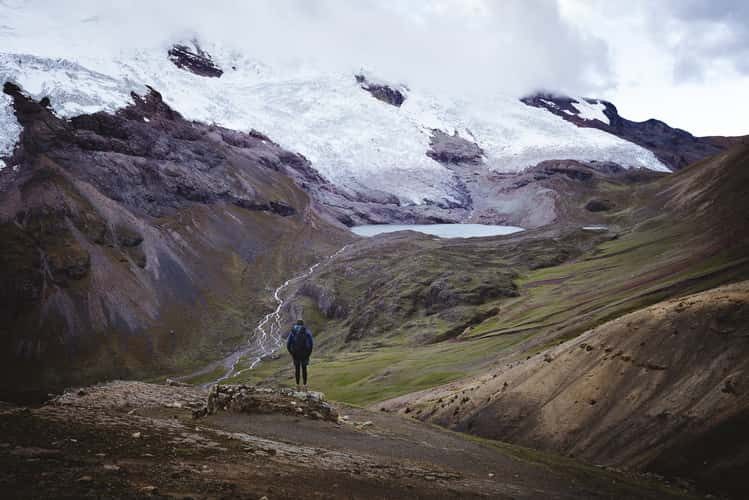
Jatun Pucacocha, Ausangate
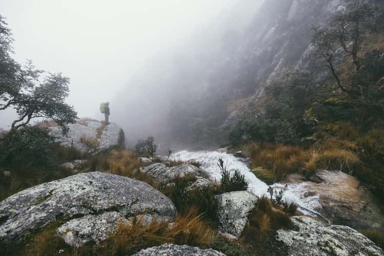
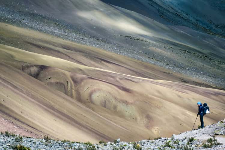
Hiking trail to Apacheta Chucura Pass, Ausangate
Valley view next to Apacheta pass, Ausangate
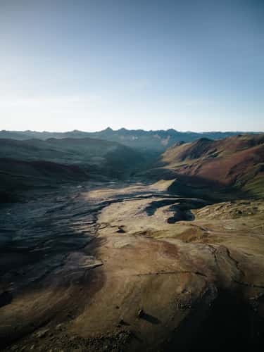
View to Área de Conservación Regional, Ausangate
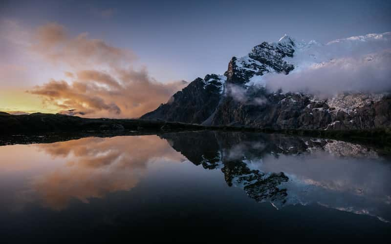
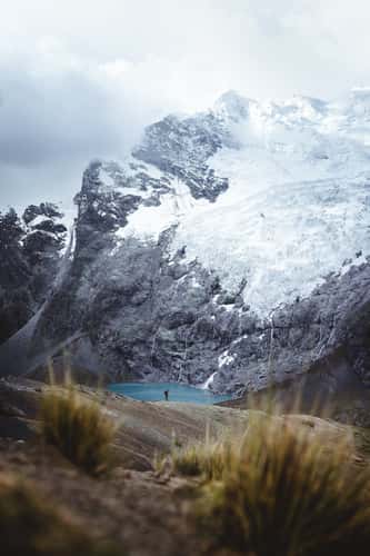
Unknown glacier lake, Ausangate
Jatun Pucacocha, Ausangate
Apacheta Pass, Ausangate
Palomani Pass