
USA Cape Flattery -2nd trail
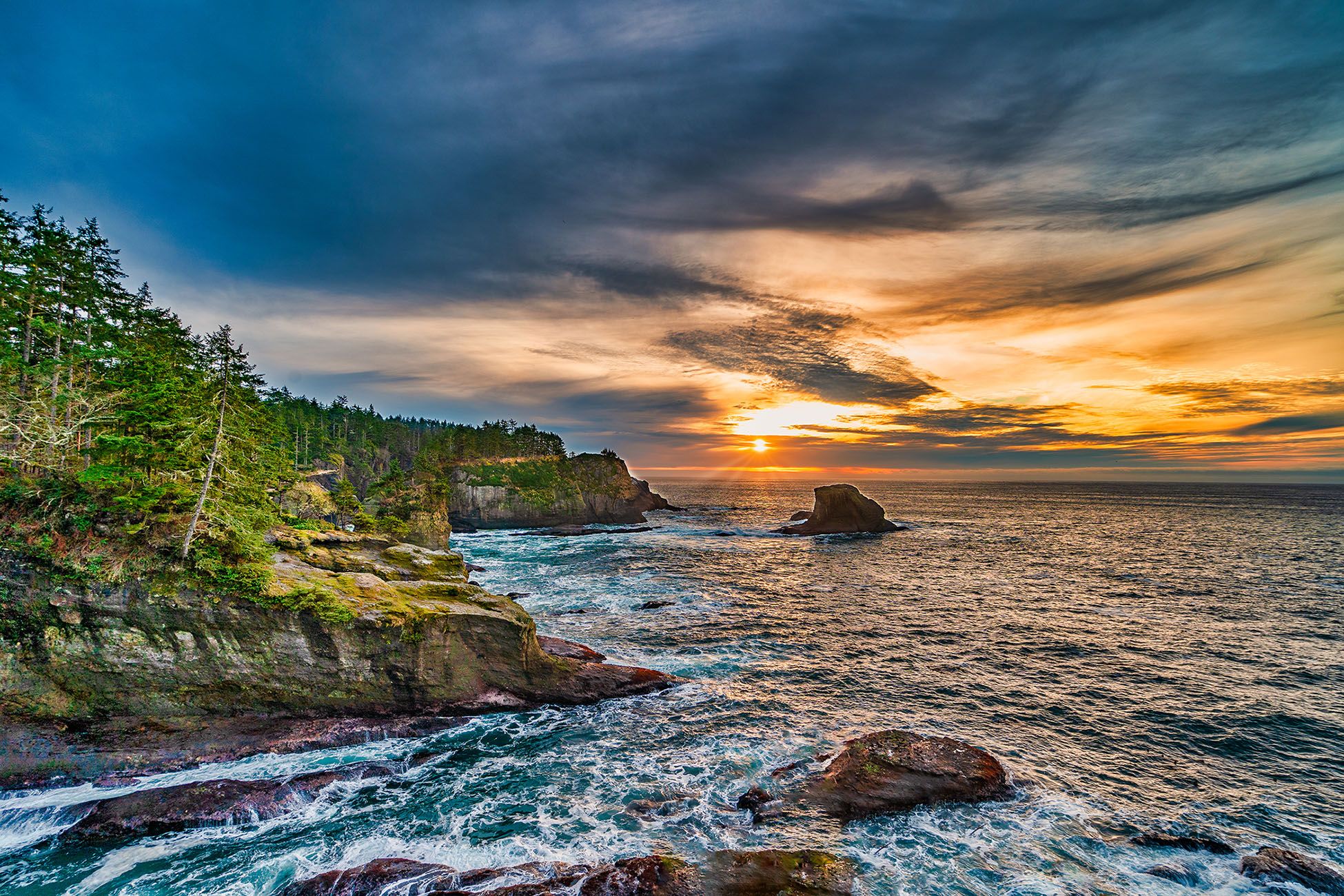
Cape Flattery is the northwesternmost point of the contiguous United States, roughly 8 miles west of Neah Bay on the Olympic Peninsula in Washington State, USA.
This location is 200 miles west of Seattle, WA, and will take close to 4 hours by car, one way, to reach it.
This location is 200 miles west of Seattle, WA, and will take close to 4 hours by car, one way, to reach it.
Photography Tips
Because this location is directly on the Pacific Ocean, do yourself a favor and check local weather forecasts. Often it is raining, foggy, or covered with low clouds. It's still beautiful, but you might not get that perfect shot.
Travel Information
Travel from the Seattle area means that you need to get to the Olympic Peninsula either by ferry or driving south to Tacoma, crossing the puget sound, and then driving back up north. The road is often just two lanes and has several steep twists and turns, so you'll have to be patient.
When you arrive in Neah Bay, you need to buy an annual $10 pass that gives you access to several different natural areas on the tribal land, this happens to be one of them. I purchased mine at the Makah Museum.
The hike from the parking lot to the location itself is fairly simple, and can be done by just about everyone. However, know that you will be walking over heavily rooted paths, which can cause problems for people with balancing issues. As long as you take it slow and easy, you should be fine.
The Makah have installed several elevated boardwalks, saving your shoes and boots from some mud, dirt, etc.
Google Maps will tell you it takes 4 hours from the Seattle area, and they're right on the nose with this estimate. After you leave Port Angeles using SR112, you'll be driving along a two-lane, twisting, winding road where there are several locations where washouts can occur in bad weather.
Just a few people
Sunset
07:53 17:09
22:30
Spot Type
Outdoor
Crowd Factor
Just a few people
Best Timing
Sunset
Sunrise & Sunset
06:23 - 20:13
| current local time: 03:21
Photo Themes
coast
coastline
forrest
high coast
Ocean
pacific ocean
rock formation
rocky beach
Sunset
water
waves


Spot Comments (0)