USA Schwabacher Landing
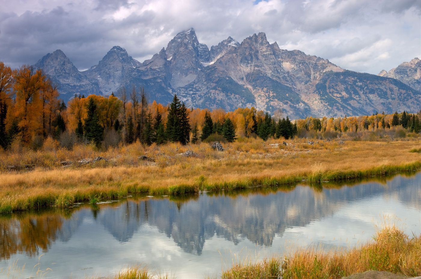
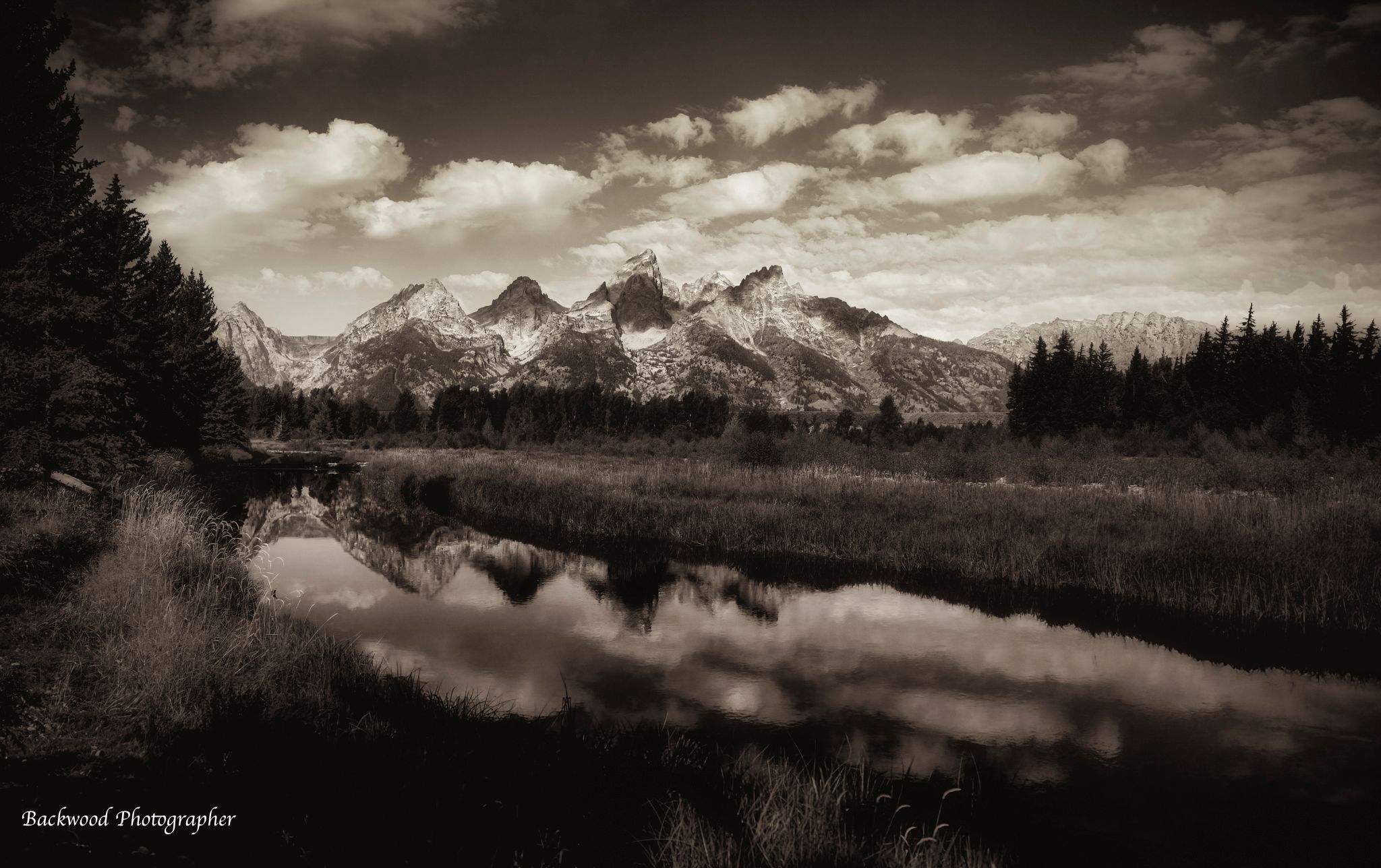
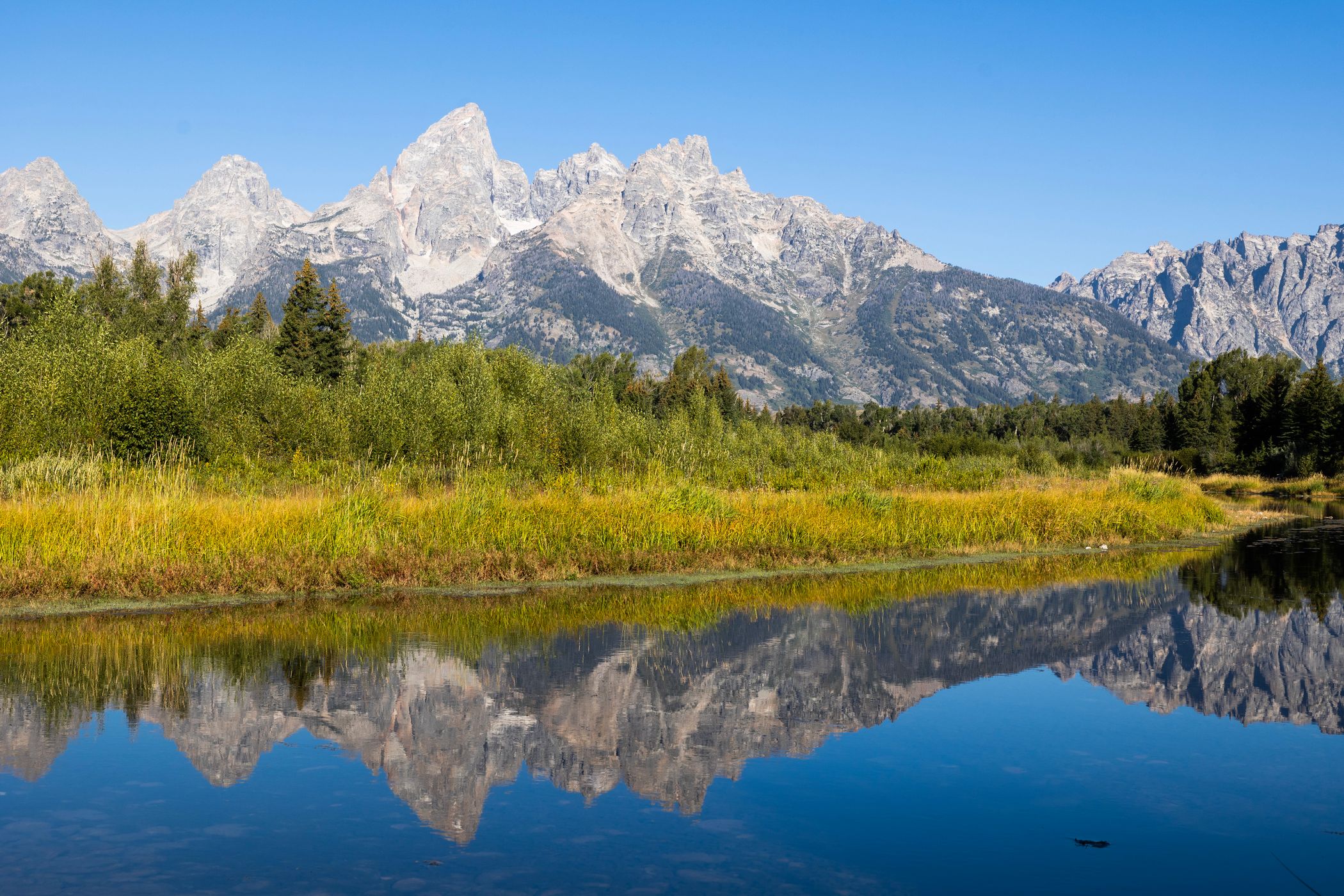
This is near one of several iconic photo spots in Grand Teton National Park. Two of the others are the Mormon Row barns and Oxbow Bend.
Photography Tips
Get there early morning so the water is at it's calmest and you will get great reflections. If targeting sunrise photos, drive past the short spur road that leads to a small parking area and continue to the larger parking area at the end of the road. You’ll have plenty of time to return to the first parking area later. This photo was taken just a few yards from the parking area. There were a couple of dozen photographers lining the riverbank on Sept. 27. The iconic Schwabacher Landing spot requires following the trail along the riverbank for several minutes and look for the crowd (unless you’re very early). If you’re the first to arrive, the end of the trail is obvious, just before a beaver dam. Carry and use bug spray if visiting during the summer.
Travel Information
Take the US 191 out of Jackson and just past the turning for Dornan's is the turning (signposted) for Schwabacher Landing. Look for the Schwabacher Landing Road sign on HWY 191/89/26. If heading north, the turn off is located four miles north of Moose Junction on HWY 191/89/26. It’s the turnout after Glacier View Turnout. If heading south, the turn of is 14 miles south of Moran Junction on HWY 191/89/26. It’s the turnout after Teton Point Turnout. The paved section ends quickly and turns into a rough poorly maintained dirt road. The road is fine for all vehicles when it’s dry if driven slowly. After rain or snow it becomes a muddy quagmire. There are two parking areas. The turnoff to the first one is encountered about a half mile (0.8 km) from the highway. Drive past that spur and continue another half mile to the end of the road to this spot. There is a vault toilet at the second parking area.
Spot Type
Outdoor
Crowd Factor
A decent amount of people
Best Timing
Sunrise in fall
Sunrise & Sunset
06:35 - 20:09
| current local time: 04:41
Photo Themes
lakes
Mountains
mountainscape
Water Reflections
Locations
Wyoming
Grand Teton National Park








Spot Comments (0)