Italy Sacca degli Scardovari
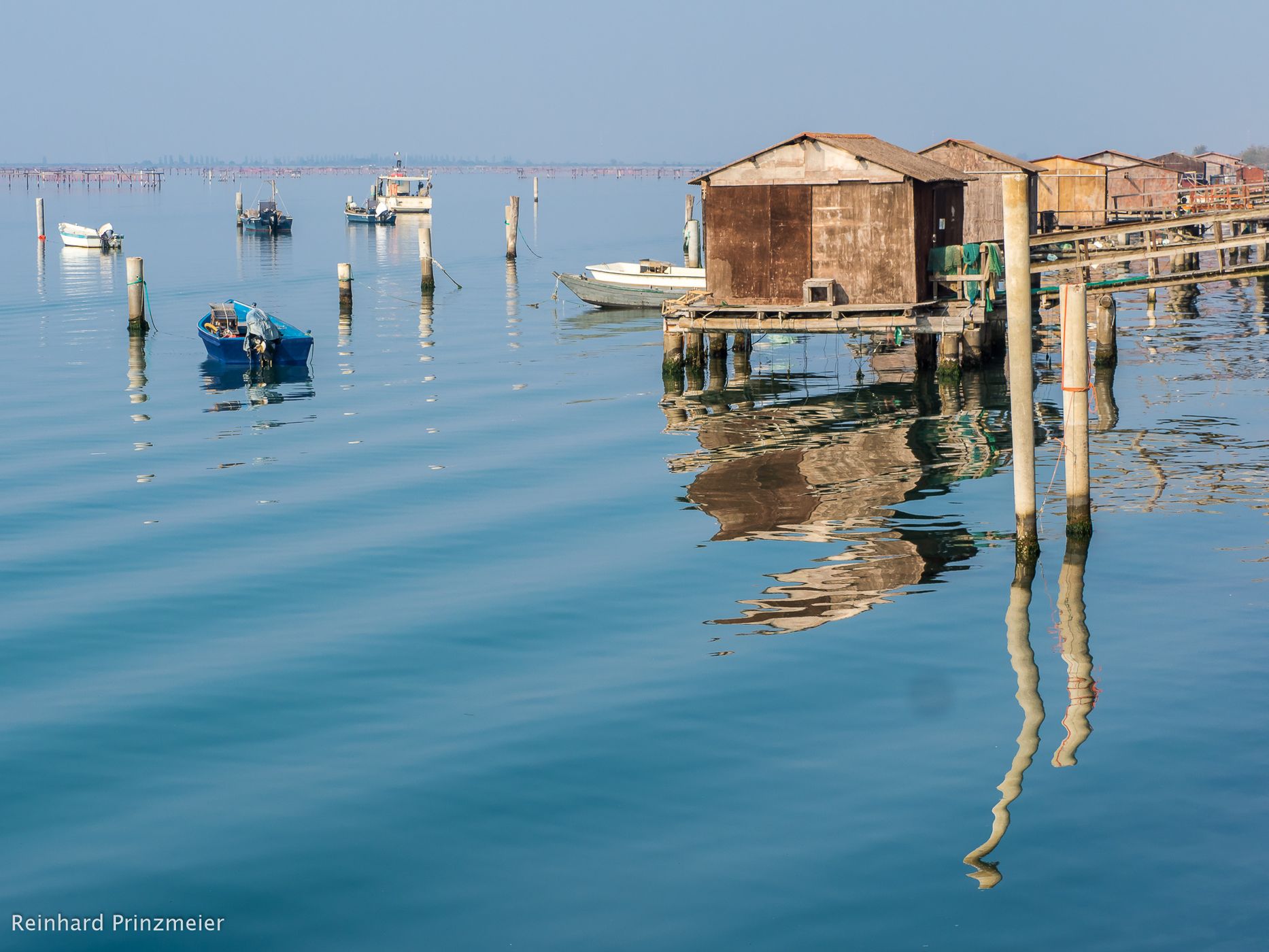
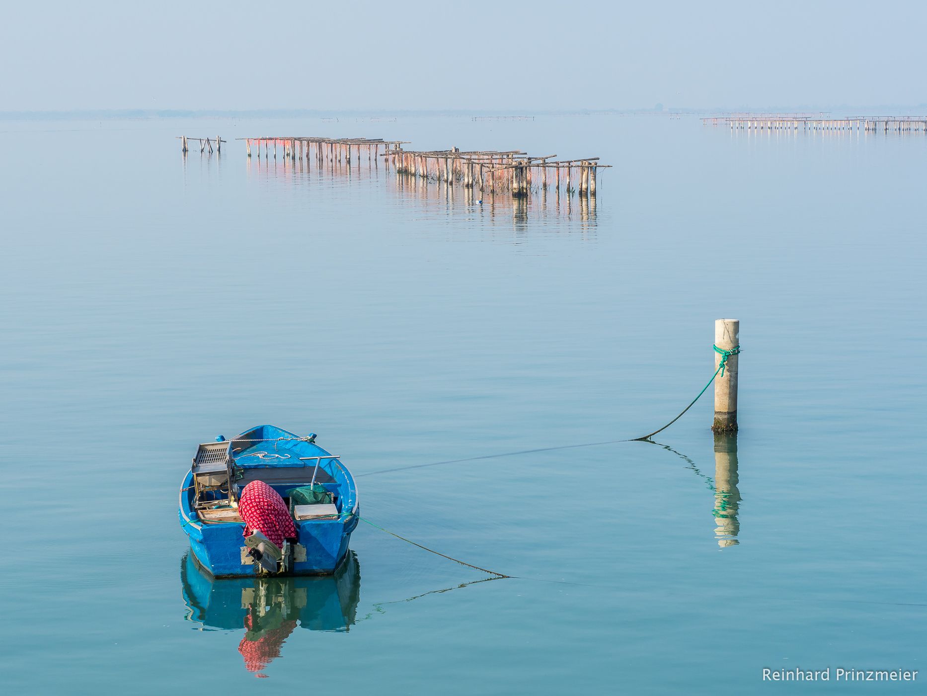
Sacca degli Scardovari (Scardovari Inlet) is composed of a vast stretch of water between the river mouths of Po di Gnocca and the Po delle Tolle. Due to its complicated hydrogeological conformation, it is an ideal environment for the proliferation and cultivation of mussels, clams and oysters, making it one of the most intensively farmed areas. The inlet (sacca), separated from the sea by sandy beaches, is in one of the most fascinating landscapes of the Delta area.
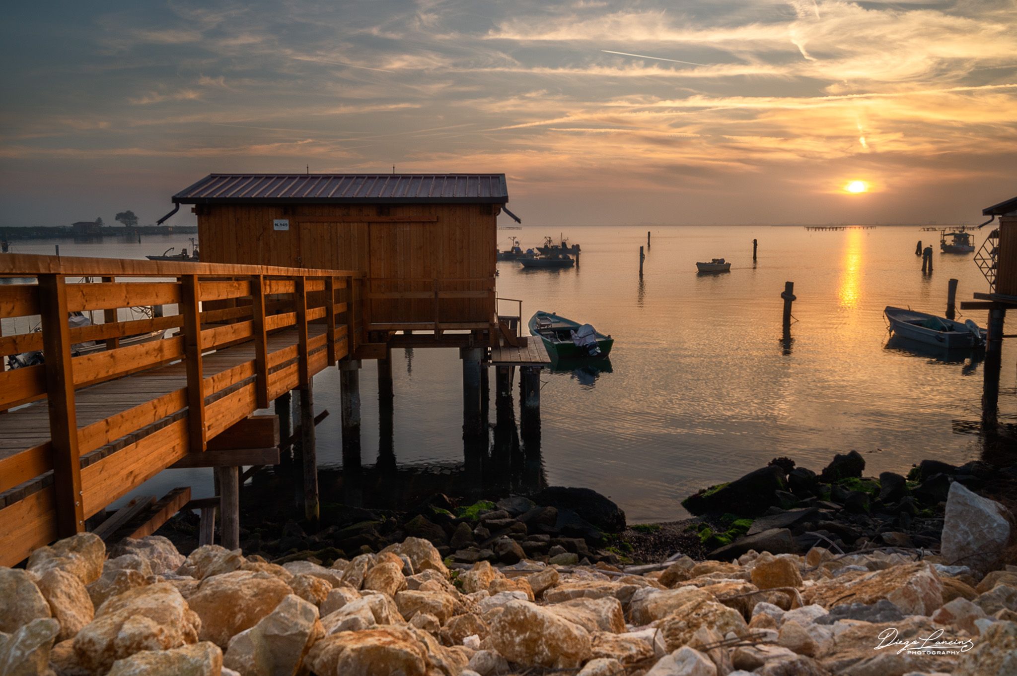
The Sacca degli Scardovari is one of the most recognizable and characteristic landscapes of the Po Delta: a wide basin that extends for several kilometres inland, facing the sea and hosting numerous “cavà” (traditional fishermen's houses), built and suspended on the water using piling or stilts. Scardovari is the most important economic district of the Municipality of Porto Tolle, which is about 15 kilometres away. Its name derives from the "scardova" (rudd), a fish that was abundant in the area towards the end of the 18th century.
The lagoon environment of the inlet is a passage between freshwater and marine habitats: indeed, the variable salinity is due to the continuous encounter between the waters of the rivers and the salty waters of the Adriatic. The basin is protected from the sea by thin strips of land and sandy banks. It communicates with the Adriatic through two openings: one located near the mouth of the branch of the Po delle Tolle and the other to the south-east. Formed through the continuous remodeling of the coastline due to the evolution of the Delta, the inlet is about 3,200 hectares, with an average depth of about one and a half metres.
Photography Tips
Any lense from wide angle focal lenth to mid-tele is suitable. Since Scardovari Inlet is a nearly closed bay, it's a great location both for dusk/sunrise and for sunset/dusk (simply go around by car and find the best location). Great spot also for long exposures with ND filters.
Travel Information
By car only. Free park available wherever nearby the road flanking the bay.
Spot Type
Outdoor
Crowd Factor
Nearly no other people
Best Timing
All timings are equally good
Sunrise & Sunset
06:21 - 19:58
| current local time: 20:19
Photo Themes
after sunset
Dawn
lagoon
pre dawn
sea
seascape
Sunrise
sunrises
Sunset
sunsets


Spot Comments (1)