60 photos in 24 spots
- Show
- all photos
- only best photo/spot
- Order by
- Popularity
- Newest
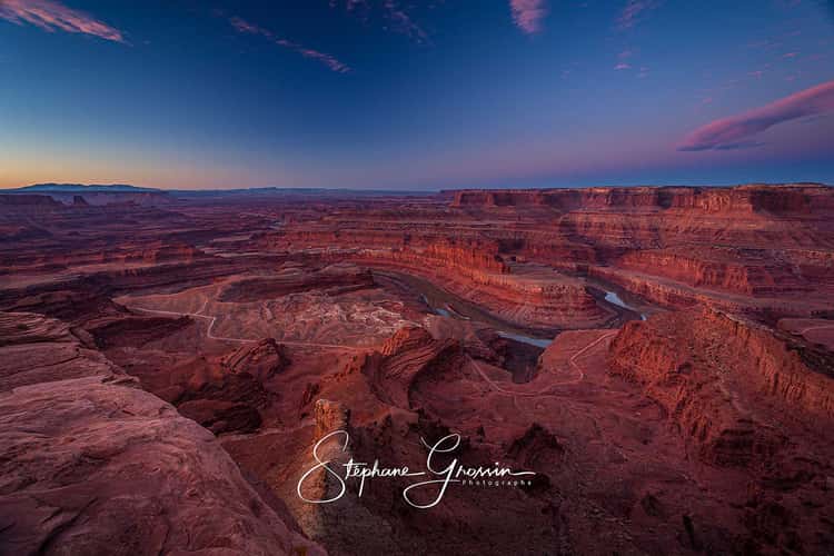
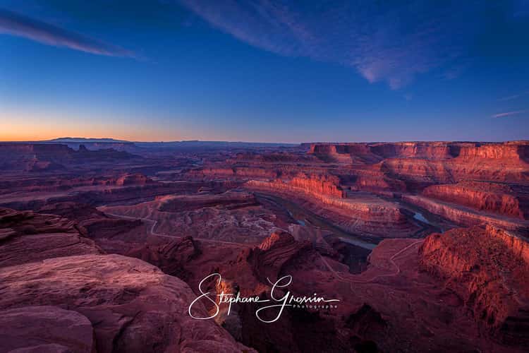
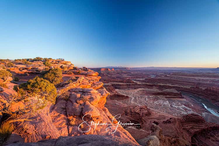
Dead Horse Point sunrise
2608.42 km to location
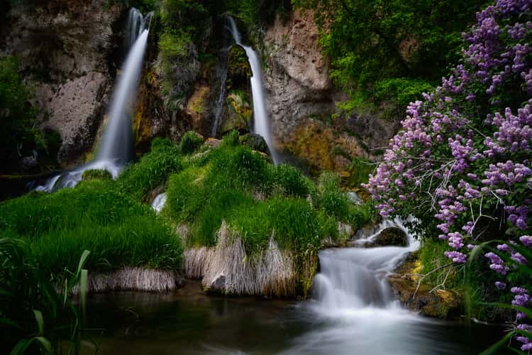
Rifle Falls, Colorado
2403.25 km to location
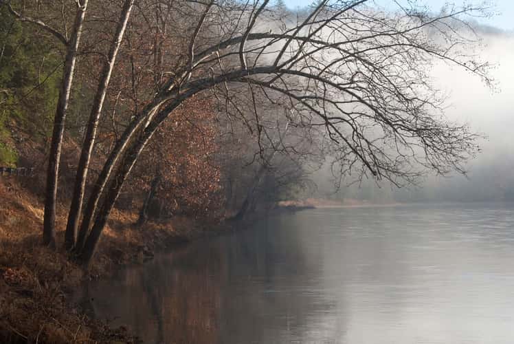
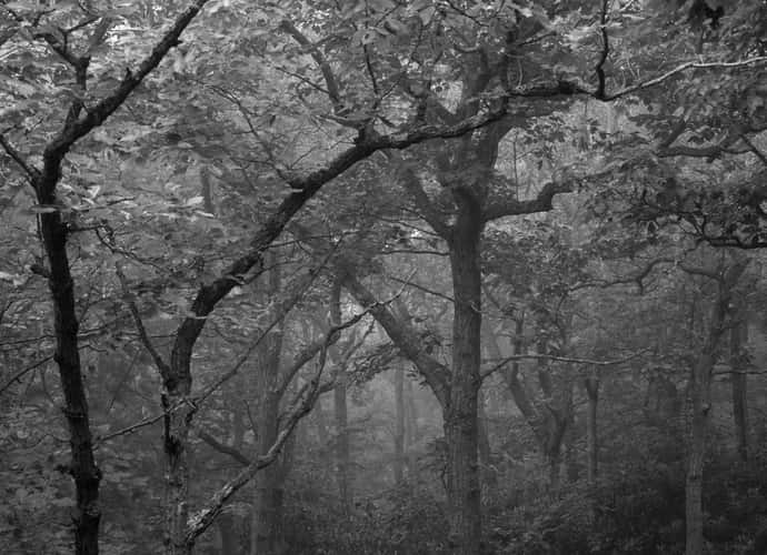
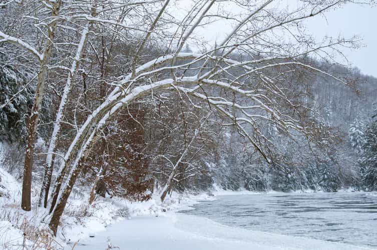
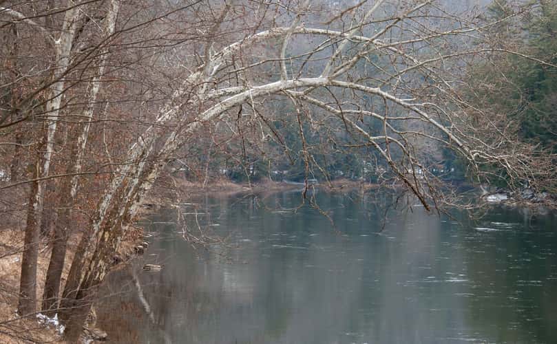
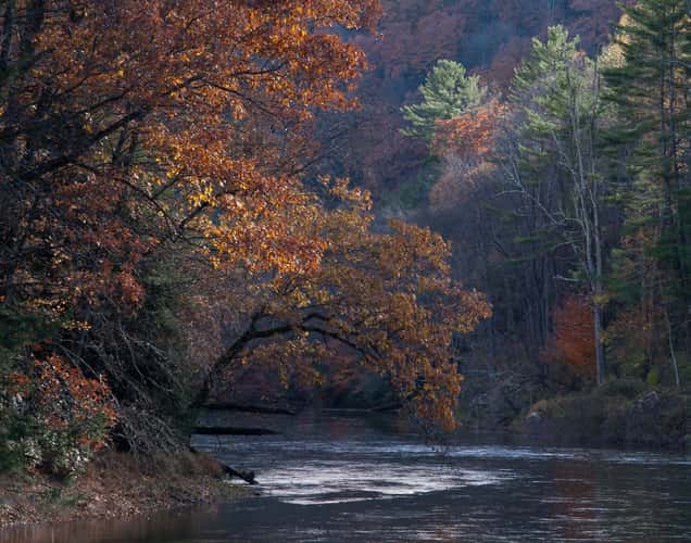
Bending Tree over the Clarion River
2.86 km to location
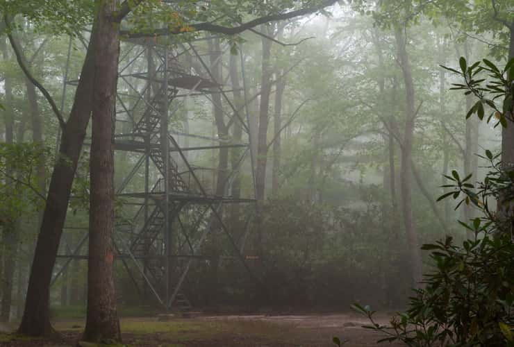
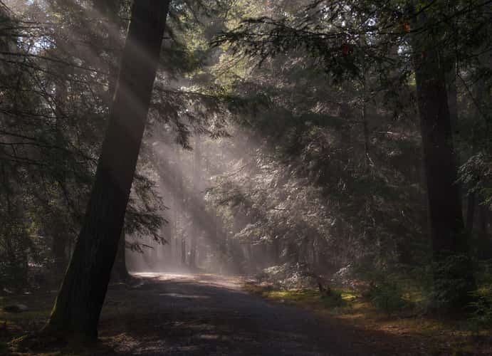
Cook Forest Tower
0 km to location
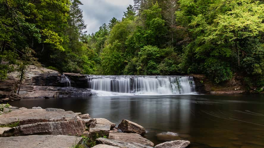
Hooker Falls
742.11 km to location
Cook Forest Tower
0 km to location
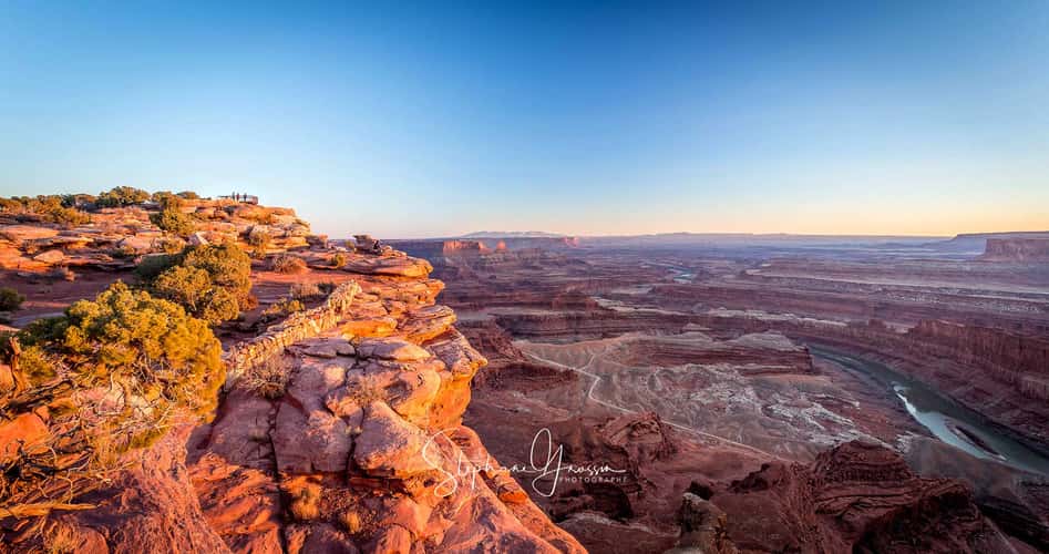
Dead Horse Point sunrise
2608.42 km to location
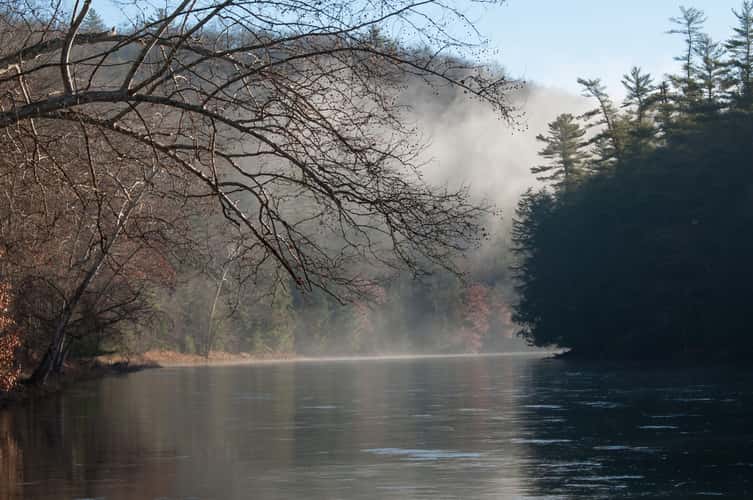
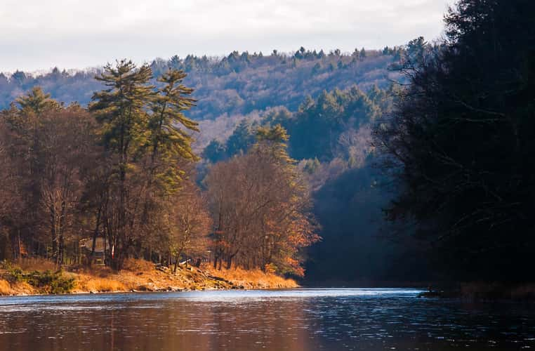
Bending Tree over the Clarion River
2.86 km to location
Bending Tree over the Clarion River
2.86 km to location
Henry Run Sawmill Dam
1.43 km to location
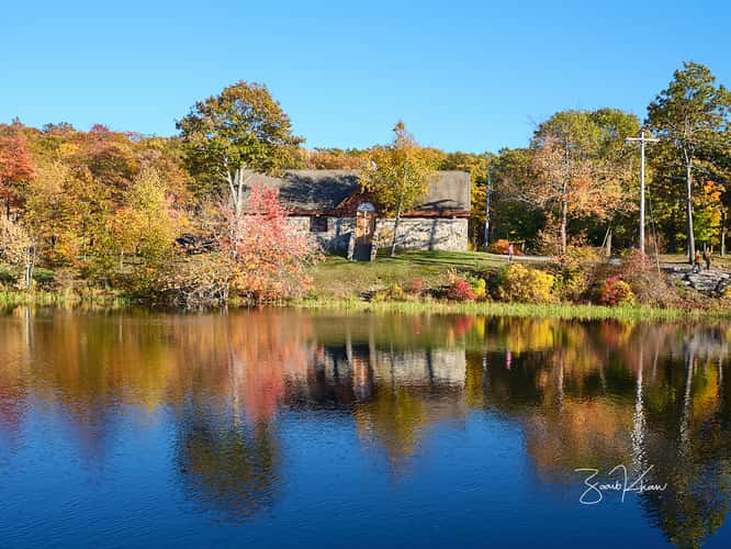
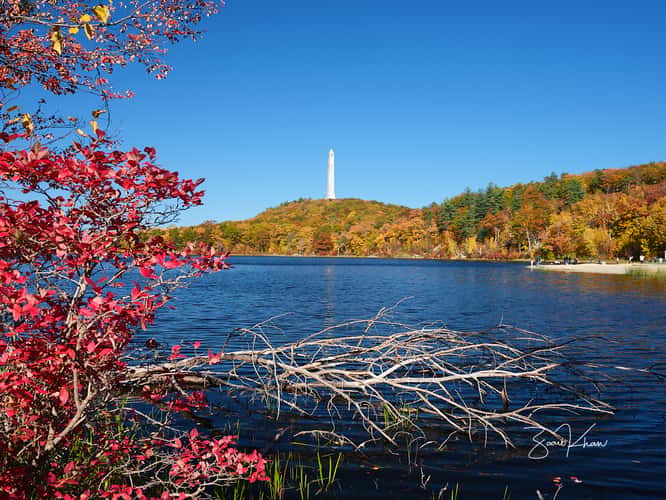
High Point State Park
378.94 km to location
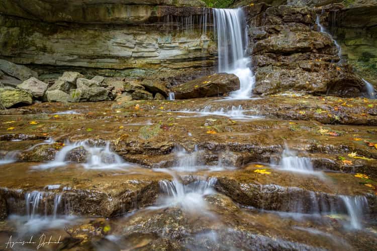
McCormick's Creek Canyon Falls
675.03 km to location
Bending Tree over the Clarion River
2.86 km to location

Henry Run Sawmill Dam
1.43 km to location
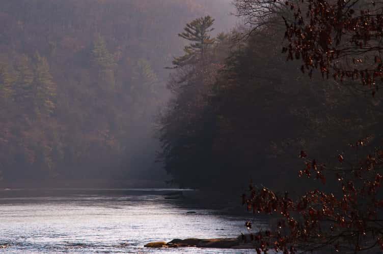
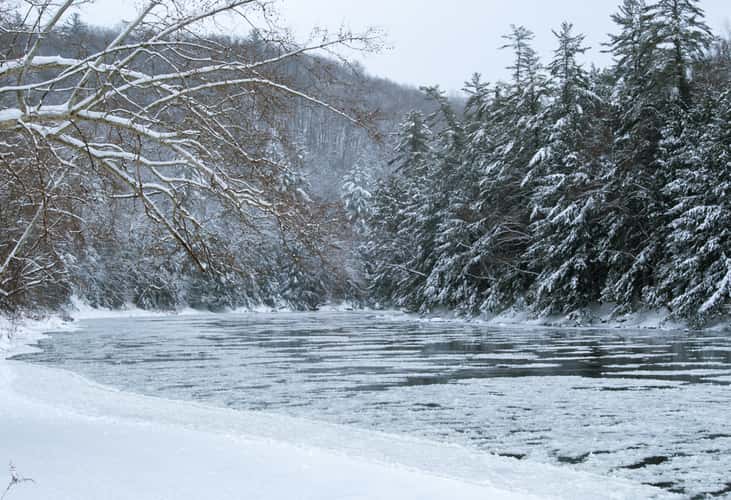
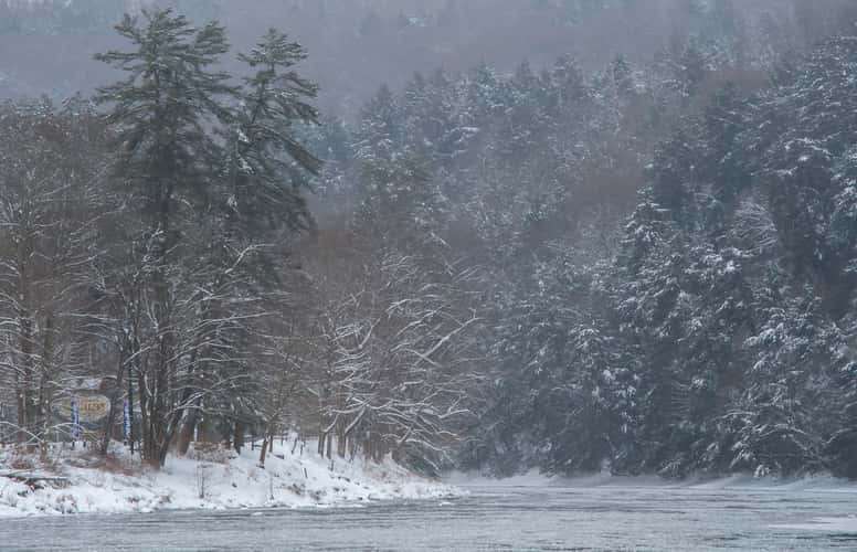
Clarion River near Coleman Run Rd
4.2 km to location
Clarion River near Coleman Run Rd
4.2 km to location
Cook Forest Tower
0 km to location
Fire Tower Road
1.53 km to location
Dead Horse Point sunrise
2608.42 km to location

Bending Tree over the Clarion River
2.86 km to location
Bending Tree over the Clarion River
2.86 km to location
Bending Tree over the Clarion River
2.86 km to location
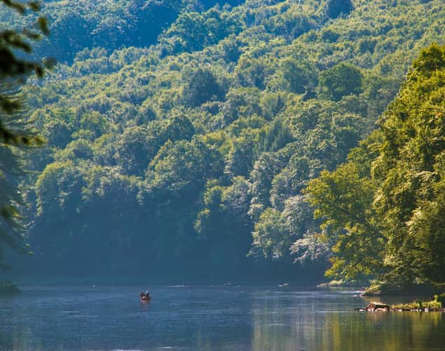
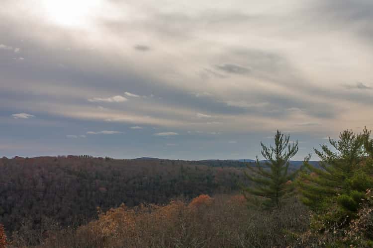
View Up-River from Cooksburg
1.22 km to location
View Up-River from Cooksburg
1.22 km to location
High Point State Park
378.94 km to location
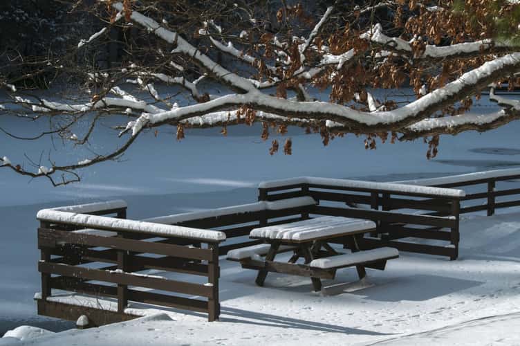
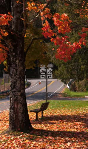
Beach Picnic Bench
10.95 km to location

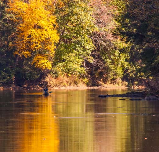
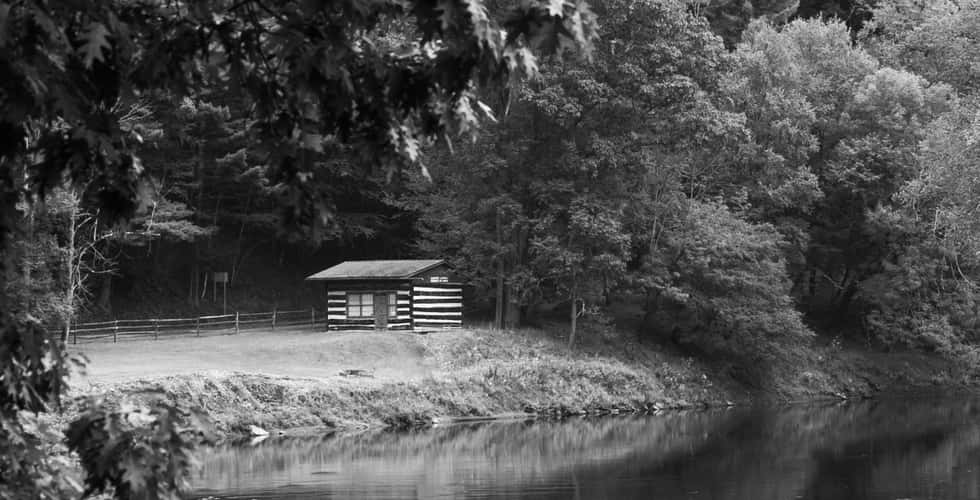
Clarion River in Cook Forest
1.11 km to location
Bench on River Road
1.27 km to location
Clarion River near Clear Creek
9.11 km to location
Dead Horse Point sunrise
2608.42 km to location