100 photos in 78 spots
- Show
- all photos
- only best photo/spot
- Order by
- Popularity
- Newest
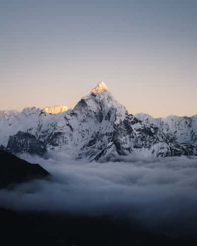
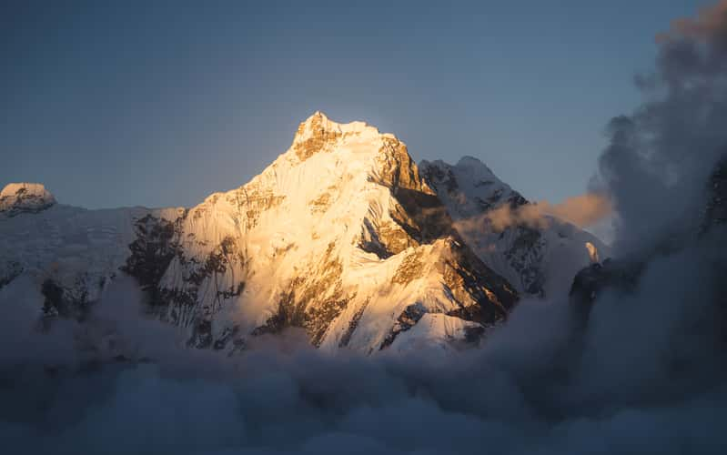
Ama Dablam View
12362.08 km to location
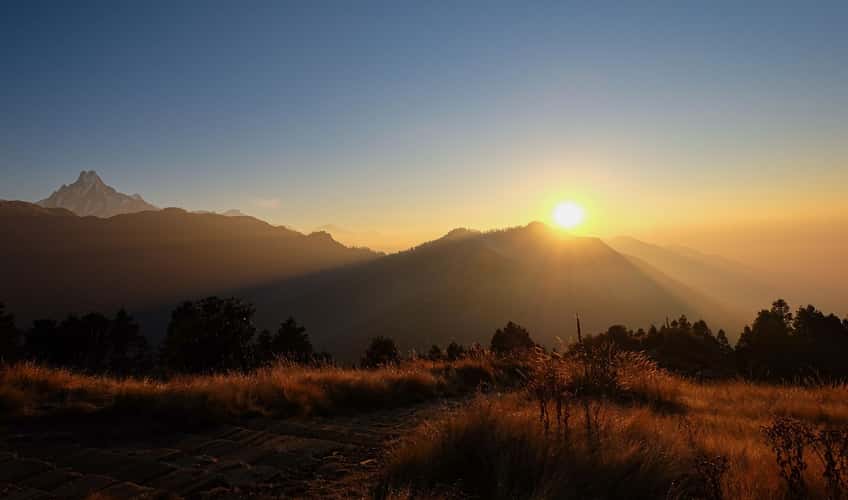
Poon Hill Peak in Nepal
12360.4 km to location
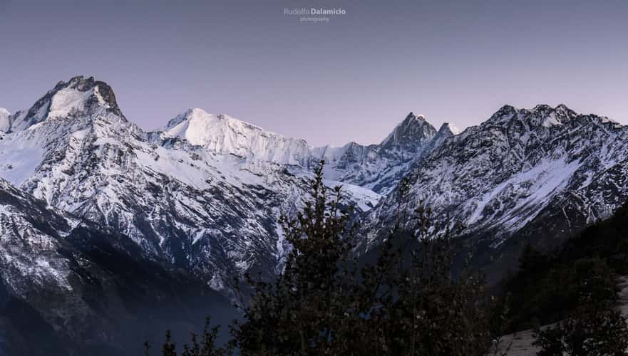
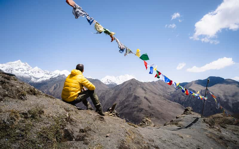
Looking at the giants
12358.49 km to location
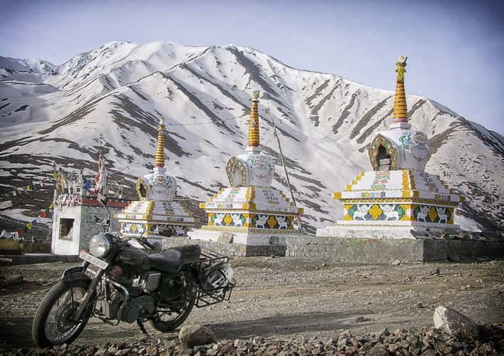
KunZum La
11970.05 km to location
Kumbi Yui Lha from Namche
12379.99 km to location
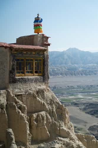
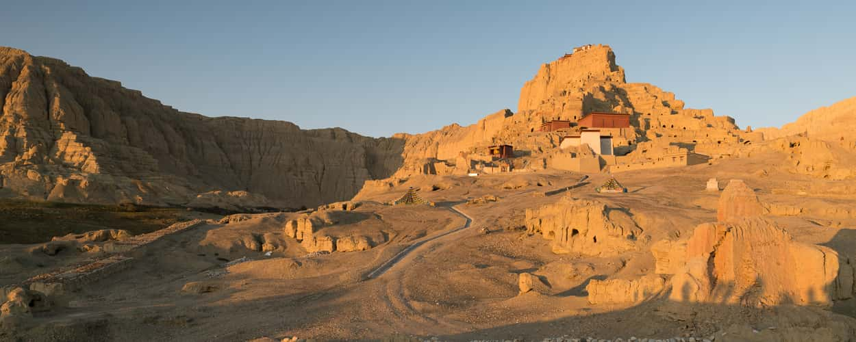
Guge, the ancient kingdom
12058.69 km to location
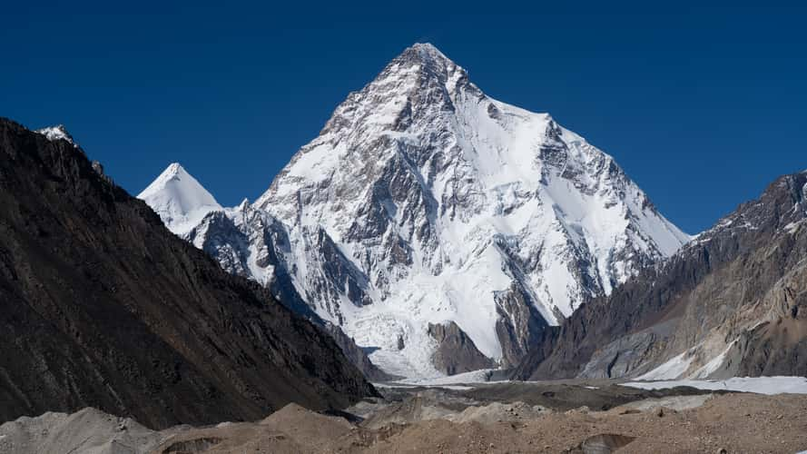
K2 the queen mountain
11601.58 km to location
Gangyul Village
12318.89 km to location
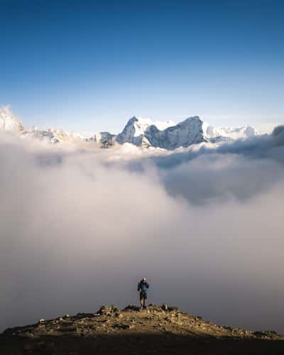
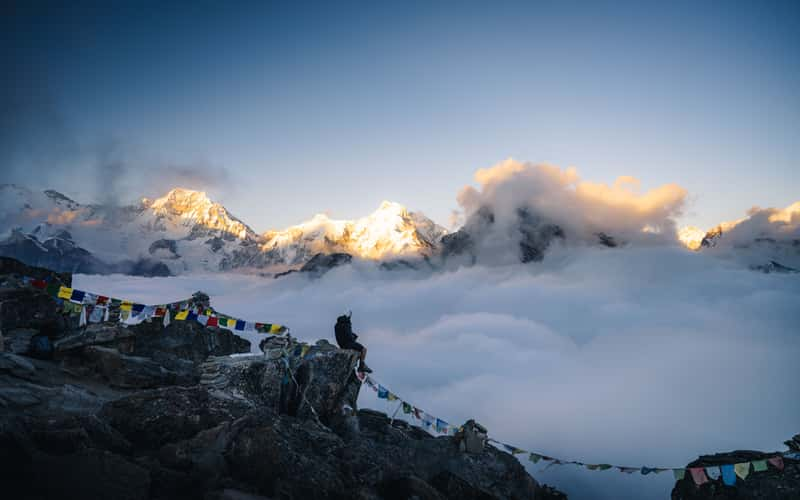
Gokyo Ri Summit
12363.27 km to location

Dzong (Ruins) Jomolharo Basecamp
12332.6 km to location
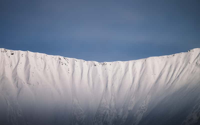
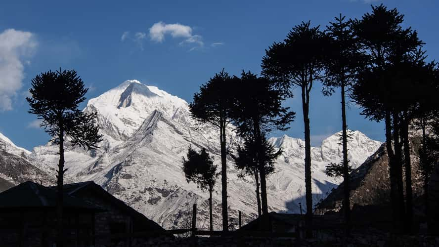
Himalayan Mountains, the wall
12316.24 km to location
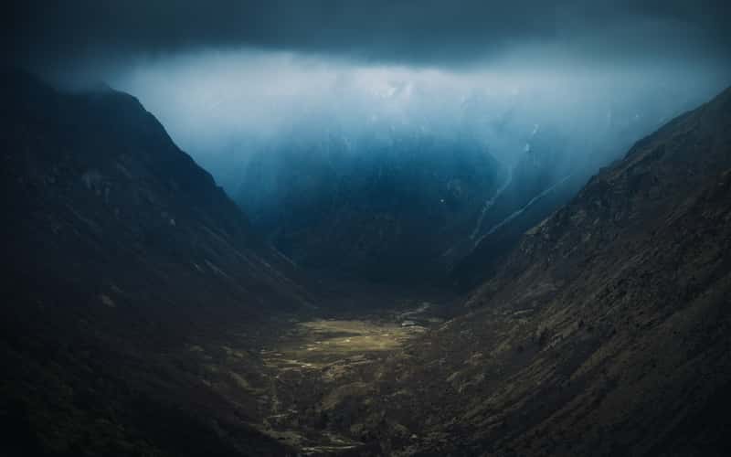
Jare La Pass, Way down Valleyview
12307.97 km to location
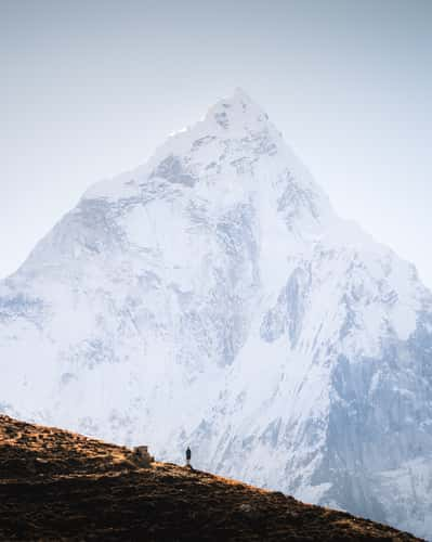
EBC Path, Ama Dablam View
12364.99 km to location
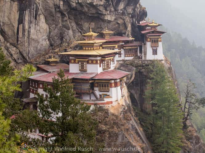
Tigernest
12363.42 km to location
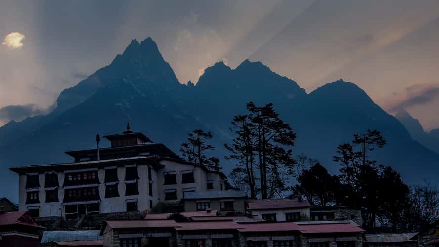
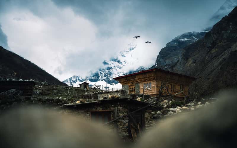
Tengboche monastery
12375.74 km to location
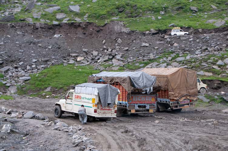
Traffic Jam at Rohtang La
11972.48 km to location
Kangchenjunga Nationalpark
12388.69 km to location
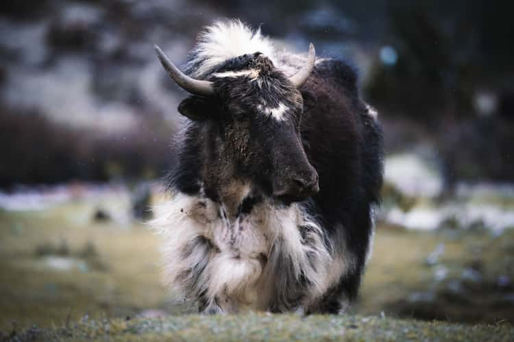
Yaks, Tashijaithang Valley
12307.33 km to location
Gogu La Pass
12315.45 km to location

Lingzhi to Chebisa Hike, Prayer Wheel
12319.05 km to location
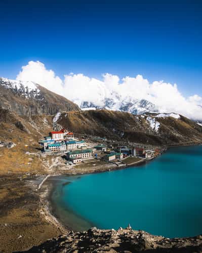
Gokyo village
12363.97 km to location
Trail up Gokyo Ri
12363.72 km to location
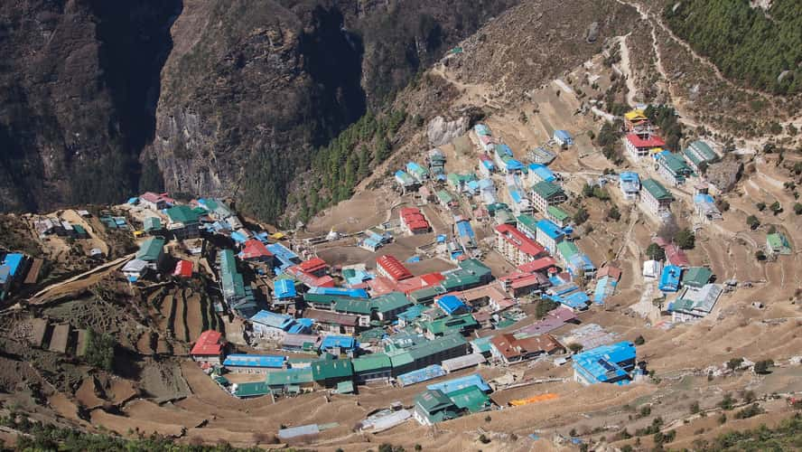
Namche Bazar
12379.86 km to location
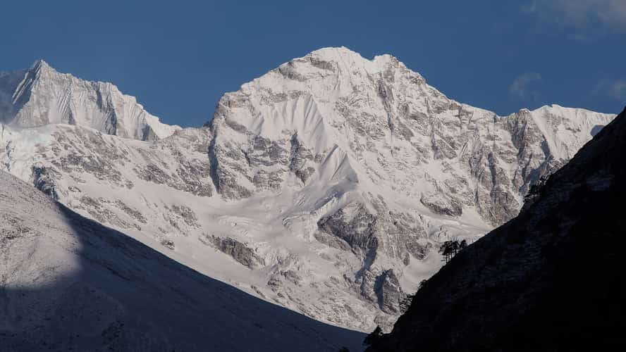
Cholatse et Taboche peaks
12380.06 km to location
Guge, the ancient kingdom
12058.69 km to location
Gokyo Ri Summit
12363.27 km to location
Gokyo Ri Summit
12363.27 km to location
Jichu Drake, Tserim Kang View
12318.55 km to location
Cho La Pass
12362.19 km to location
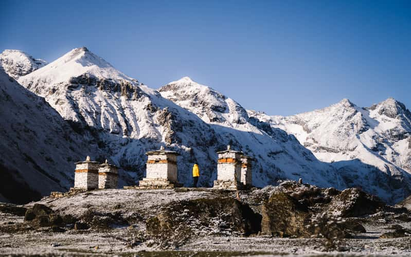
Jomolharo Basecamp, Stupas
12332.52 km to location