426 photos in 181 spots
- Show
- all photos
- only best photo/spot
- Order by
- Popularity
- Newest
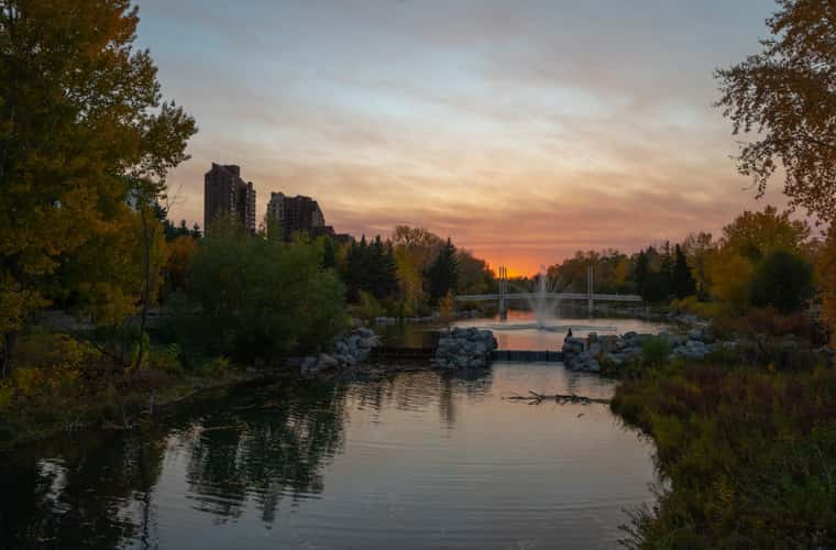
Prince's Island Park, Calgary
227.72 km to location
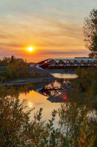
Peace Bridge - from Prince's Island Park, Calgary
227.7 km to location

Siffleur Falls Trailhead
383.46 km to location
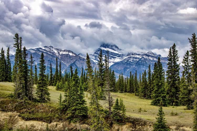
Siffleur Falls Trailhead
383.46 km to location
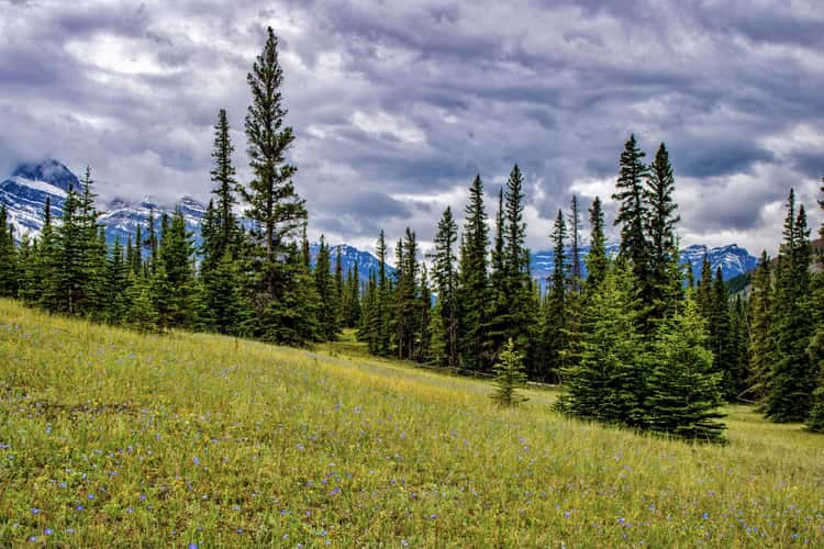
Siffleur Falls Trailhead
383.46 km to location
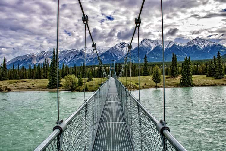
Siffleur Falls Trailhead
383.46 km to location
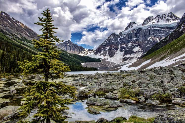
Consolation Lakes
304.93 km to location
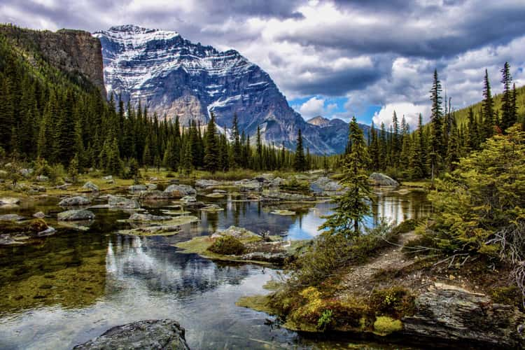
Consolation Lakes
304.93 km to location
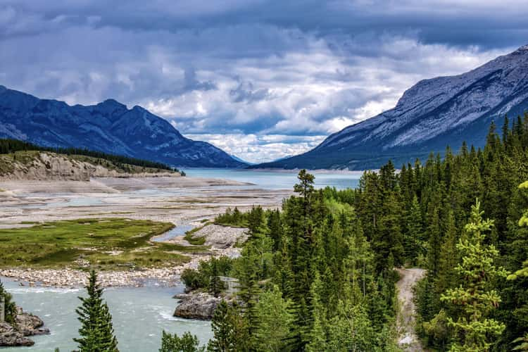
Saskatchewan Landing
386.66 km to location
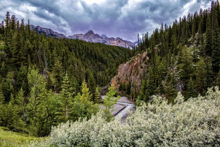
Allstones Lake Staging Area
405.81 km to location
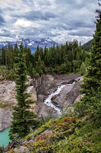
Allstones Lake Staging Area
405.81 km to location
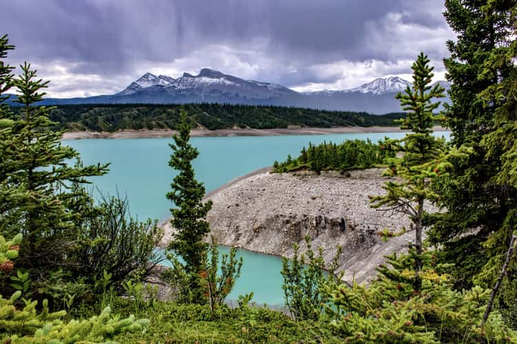
Allstones Lake Staging Area
405.81 km to location
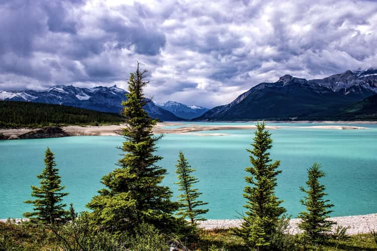
Abraham Lake
406.66 km to location
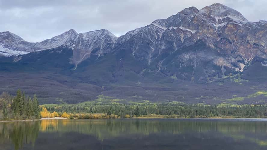
Pyramid Lake Sunrise
525.85 km to location
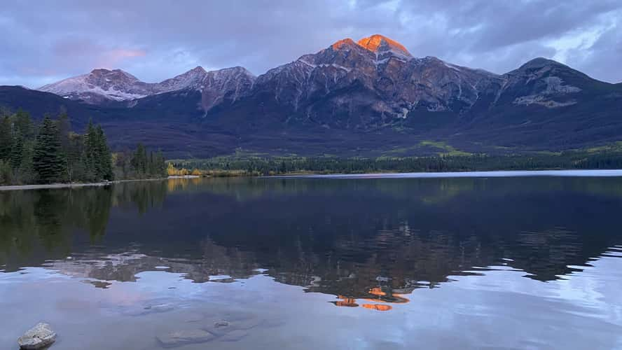
Pyramid Lake Sunrise
525.85 km to location
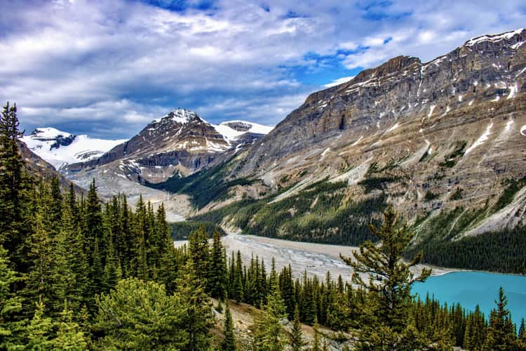
Peyto Lake
355.03 km to location
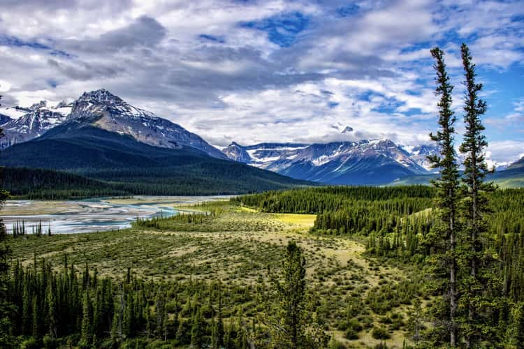
Howe’s Pass Viewpoint
387.51 km to location
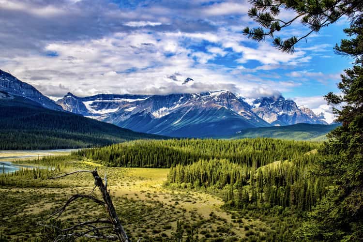
Howe’s Pass Viewpoint
387.51 km to location
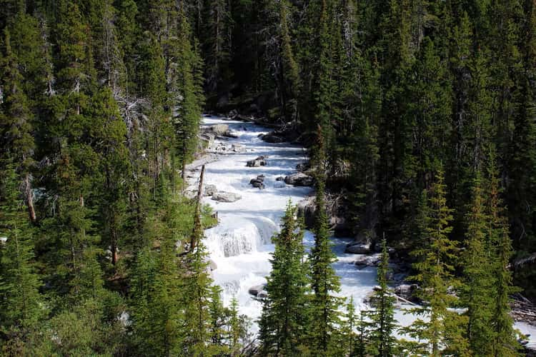
Nigel Creek
418.4 km to location
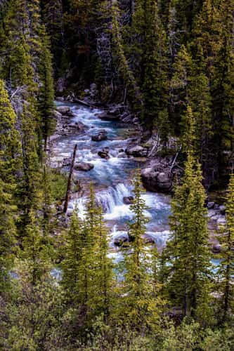
Nigel Creek
418.4 km to location
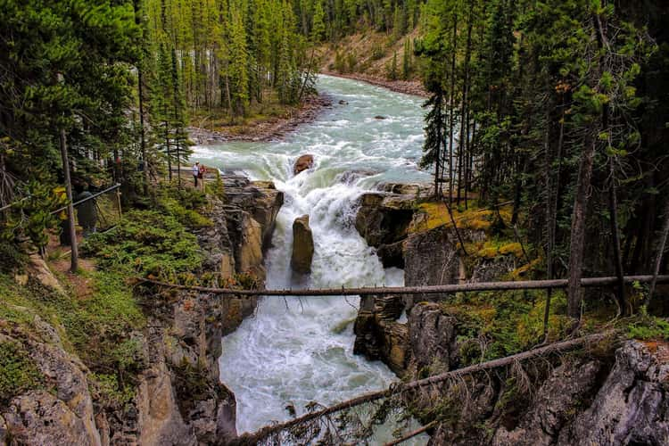
Sunwapta Falls from the Bridge
473.72 km to location
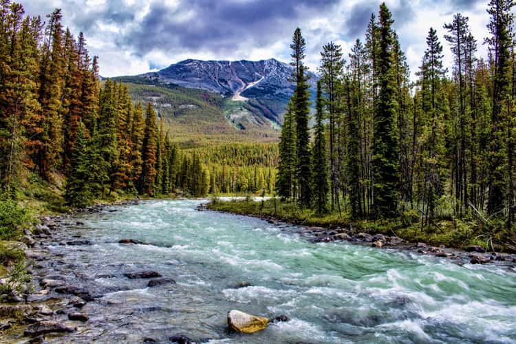
Sunwapta Falls from the Bridge
473.72 km to location
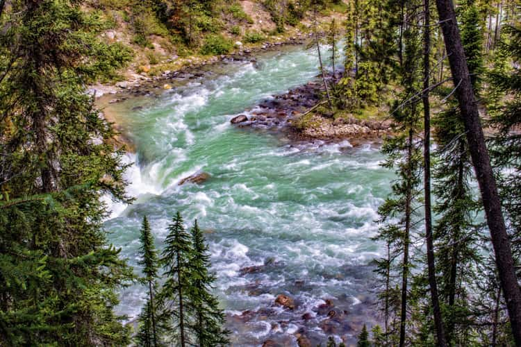
Sunwapta Falls from the Bridge
473.72 km to location
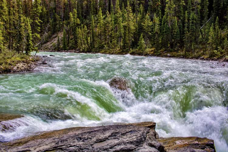
Sunwapta Falls from the Bridge
473.72 km to location
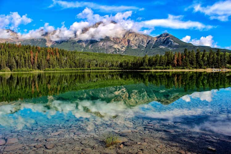
Pyramid lake with Mt Edith Cavell as distant background
527.01 km to location
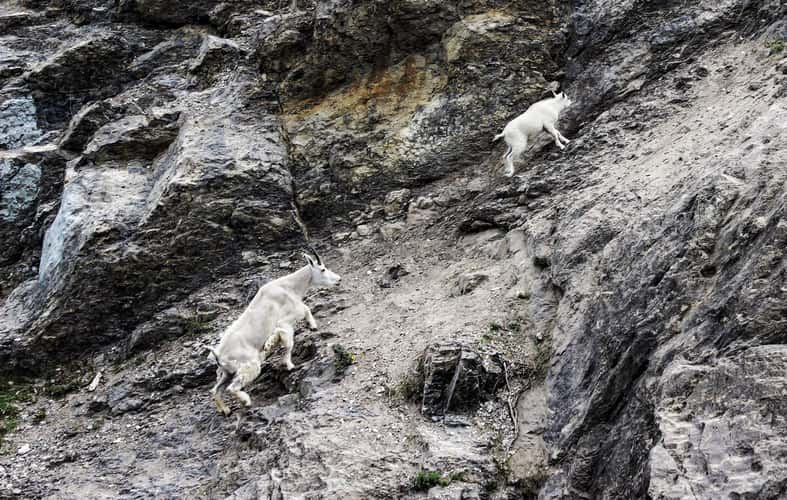
Yellowhead Highway
538.41 km to location
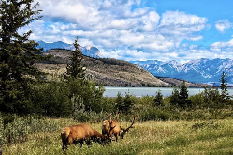
Yellowhead Highway
538.41 km to location
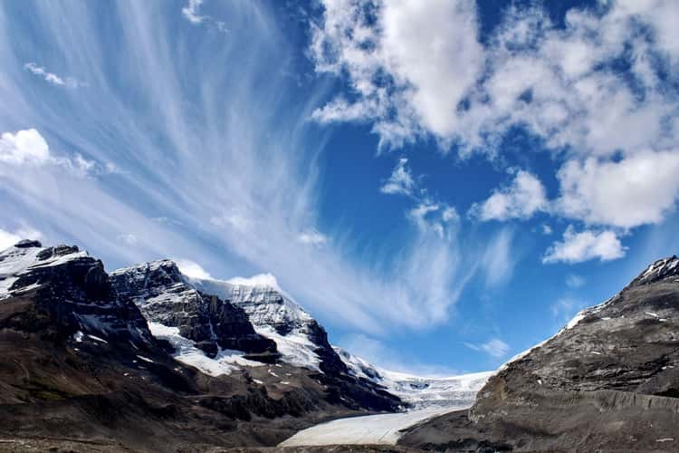
Athabasca Glacier
429.31 km to location
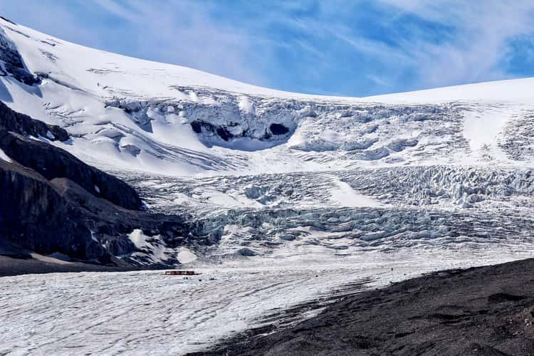
Athabasca Glacier
429.31 km to location
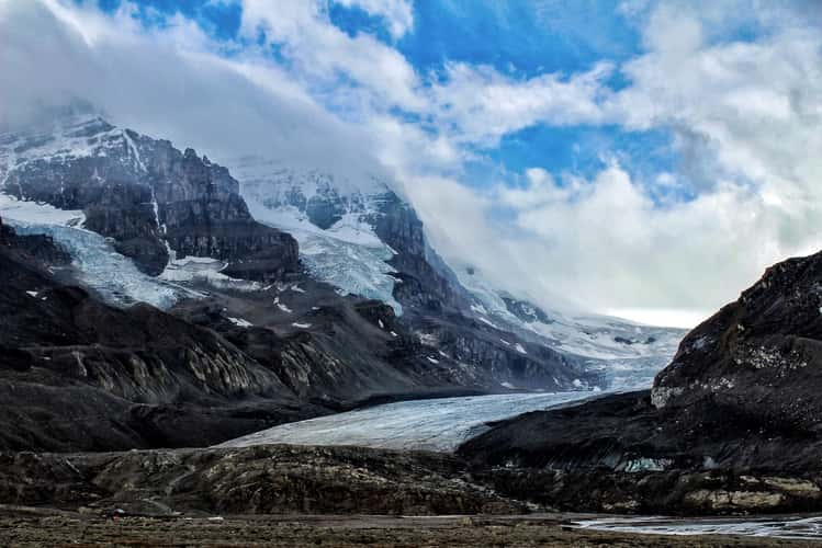
Athabasca Glacier
429.31 km to location
