71 photos in 67 spots
- Show
- all photos
- only best photo/spot
- Order by
- Popularity
- Newest
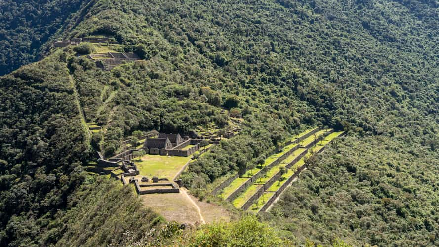
Ruins of Choquequirao (Hill)
66.64 km to location
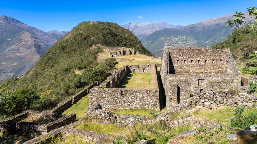
Ruins of Choquequirao (plaza Hana)
66.56 km to location
sunset near Chinchero
13.41 km to location
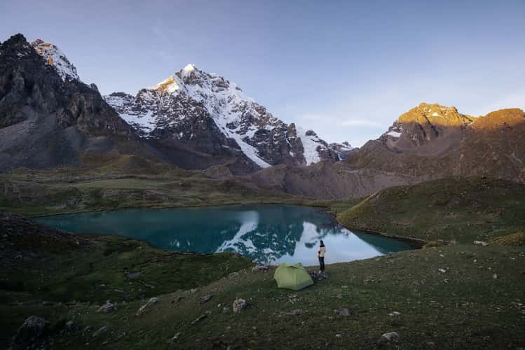
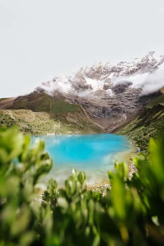
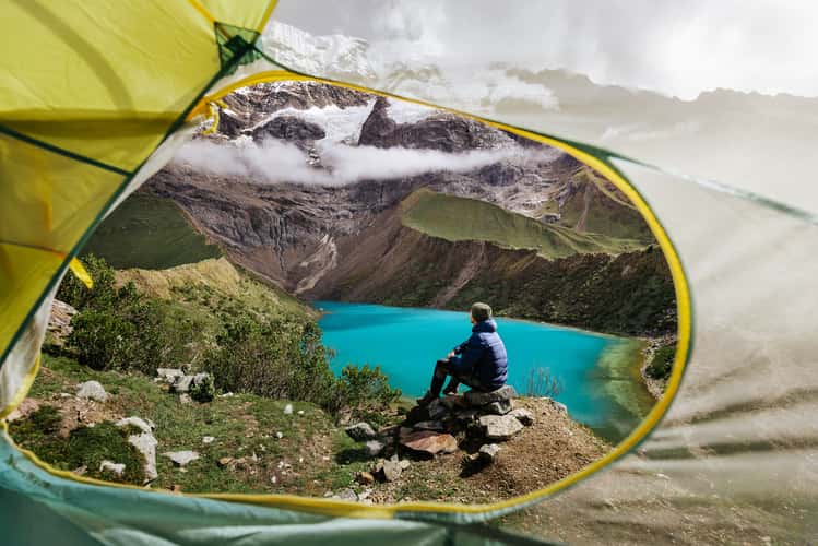
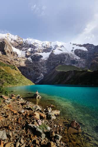
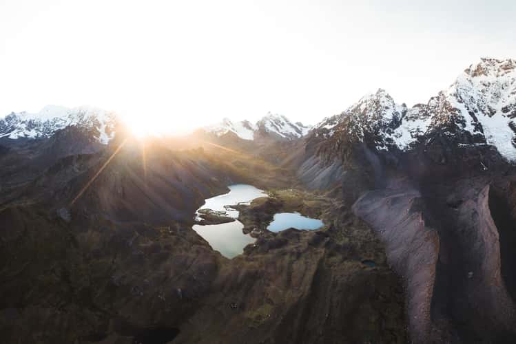
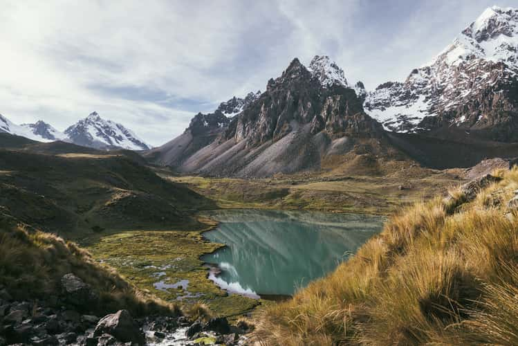
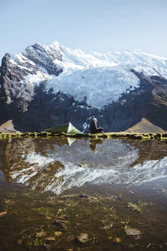
LAKE HUMANTAY TRAIL
34.9 km to location
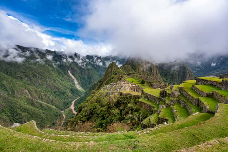
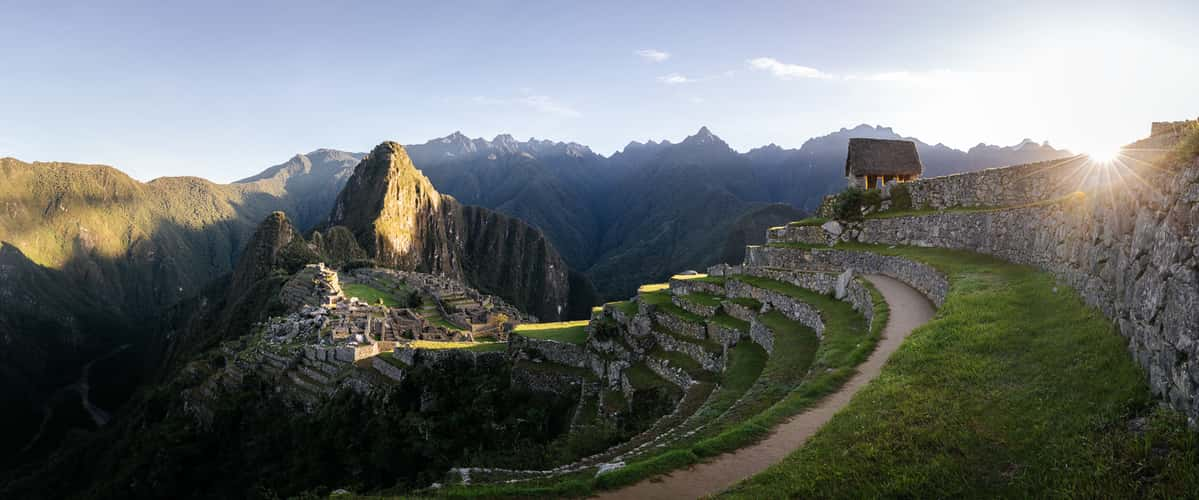
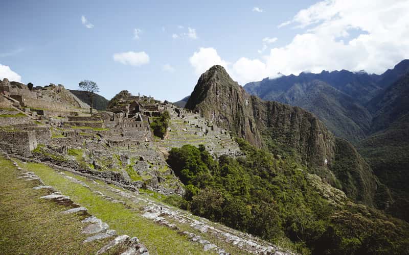
Machu Picchu, lower western terraces view
34.4 km to location
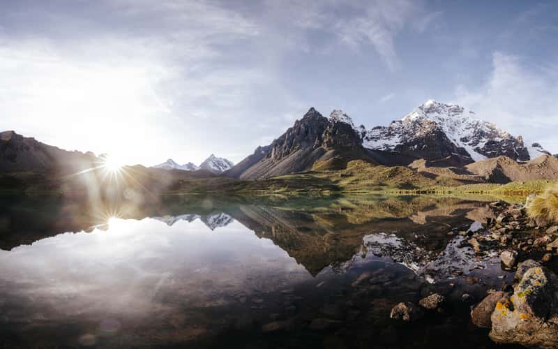
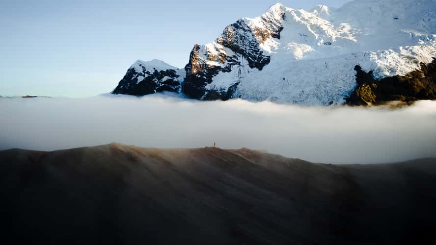
7 Lagunas, Ausangate
119.24 km to location
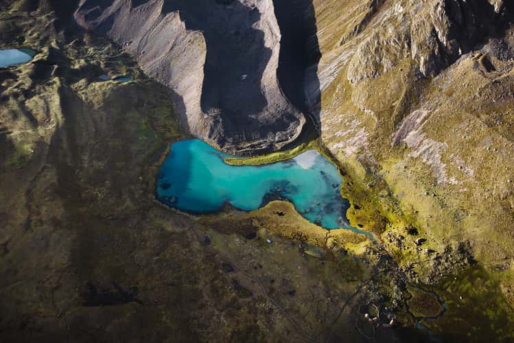
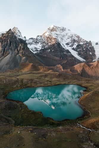
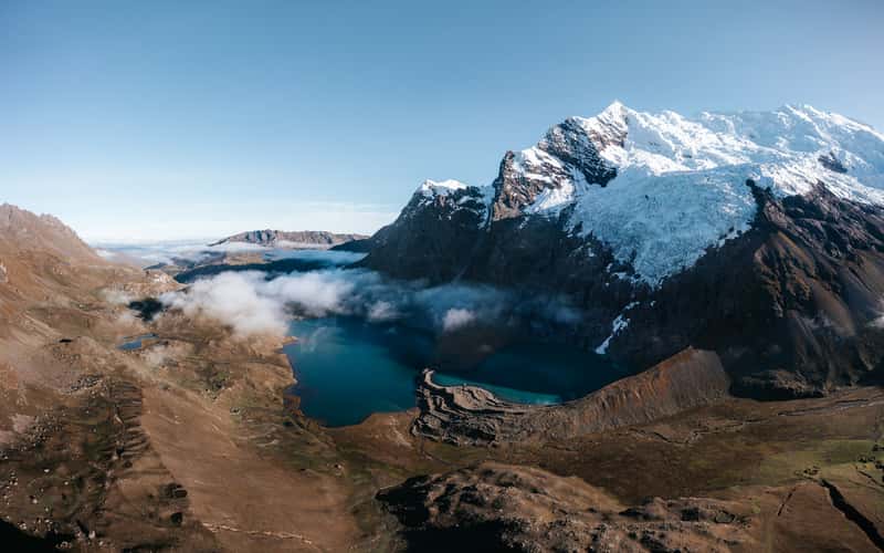
Laguna Azulcocha, Ausangate (Drone)
121.92 km to location
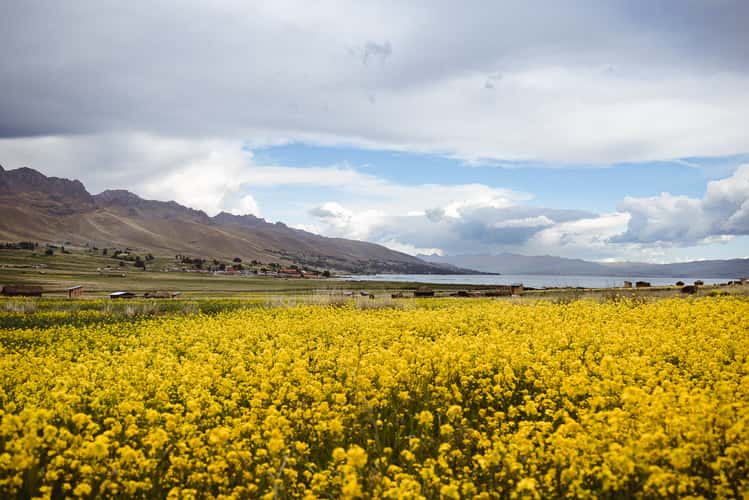
Lake Langui Lago, west-north site
162.34 km to location
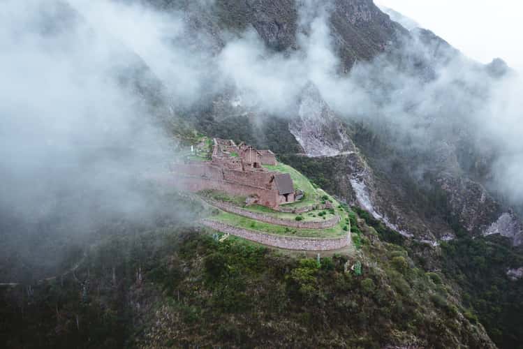
Inka site Raqaypata
0.09 km to location
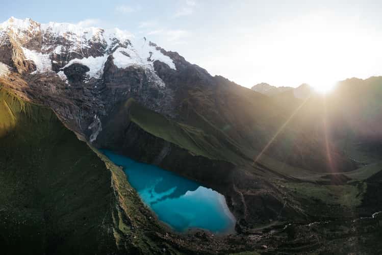
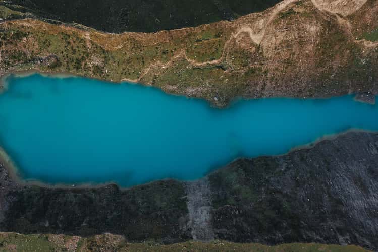
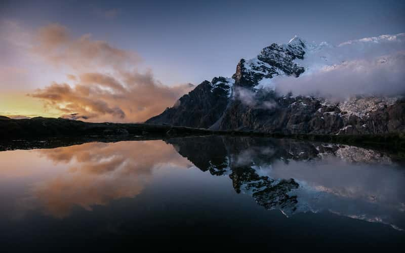
Humanity Lake, Cusco Region
36.11 km to location
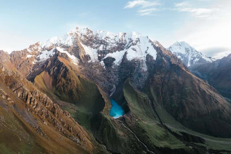
Humanity Lake, Cusco Region
35.8 km to location
Humanity Lake, Cusco Region
35.53 km to location
Humanity Lake, Cusco Region
35.56 km to location
Humanity Lake, Cusco Region
35.74 km to location
Humanity Lake, Cusco Region
35.66 km to location
Machu Picchu, lower western terraces view
34.4 km to location
Machu Picchu, lower western terraces view
34.41 km to location
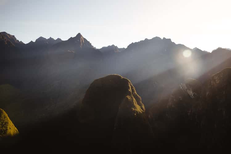
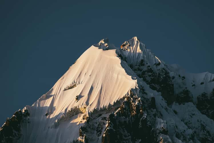
Mountain Range next to Machu Picchu
34.4 km to location
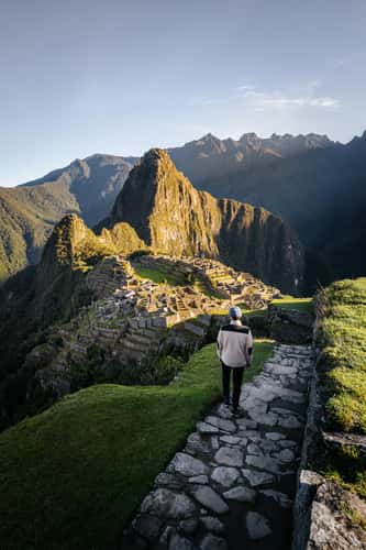
Machu Picchu, east site view near exit
34.37 km to location
7 Lagunas, Ausangate (Drone)
122.47 km to location
7 Lagunas, Ausangate
123.16 km to location
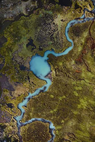
River veins, Ausangate
121.72 km to location
7 Lagunas, Ausangate (Drone)
123.13 km to location
7 Lagunas, Ausangate
123.16 km to location
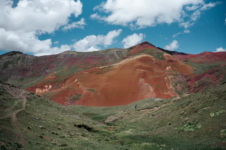
View to Nevado Ausangate, Cusco Region
122.91 km to location
Apacheta Chucura pass, Ausangate
122.15 km to location
Ponds with view to south side Ausangate
120.64 km to location
Ponds next to Jatun Pucacocha, Ausangate
120.7 km to location
Jatun Pucacocha, Ausangate
122.08 km to location
Hiking trail to Apacheta Chucura Pass, Ausangate
123.21 km to location