71 photos in 67 spots
- Show
- all photos
- only best photo/spot
- Order by
- Popularity
- Newest
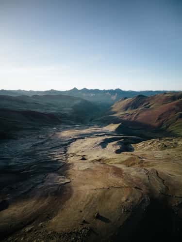
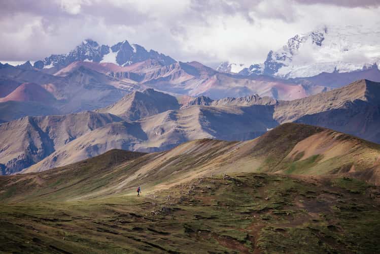
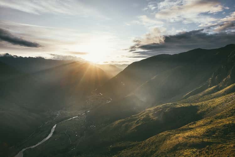
Valley view next to Apacheta pass, Ausangate
122.73 km to location
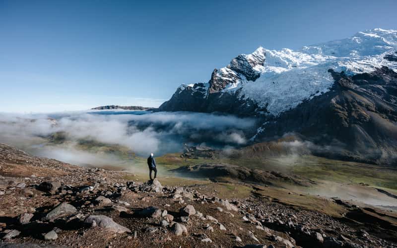
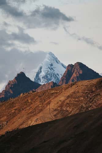
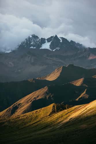
View to Área de Conservación Regional, Ausangate
120.99 km to location
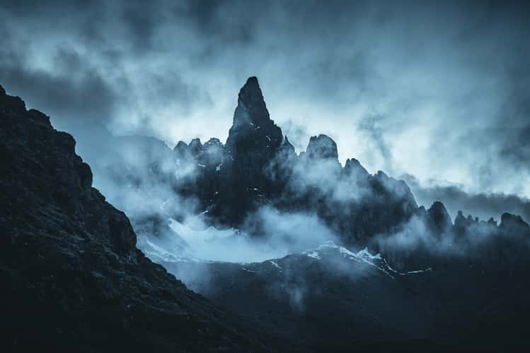
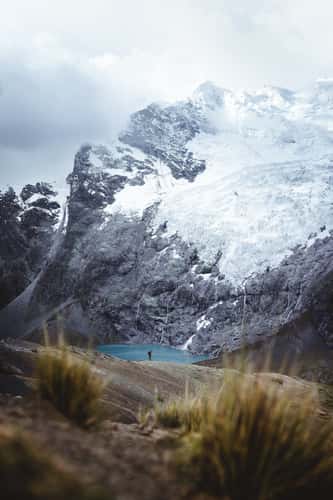
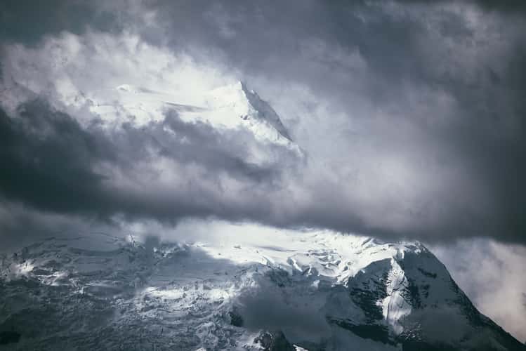
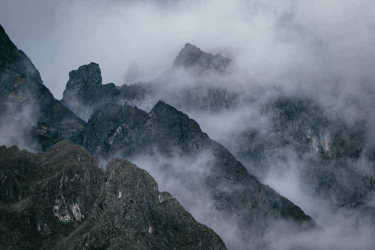
Unknown glacier lake, Ausangate
121.9 km to location
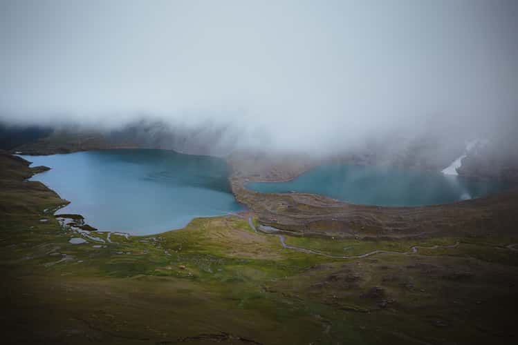
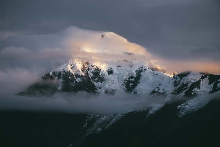
Jatun Pucacocha, Ausangate
121.13 km to location
Apacheta Pass, Ausangate
121.87 km to location
Cordillera del Arcoiris Palccoyo
136.26 km to location
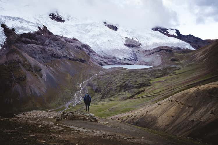
View over Jatun Pucacocha, Ausangate
121.95 km to location
Cordillera del Arcoiris Palccoyo
135.91 km to location
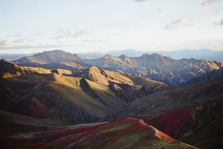
View to Ausangate near Palcoyo
136.74 km to location
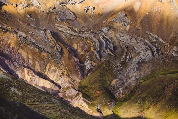
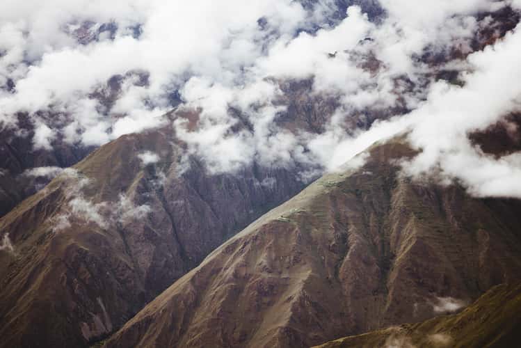
Mountain Range near Palcoyo
136.99 km to location
View on Ausangate near Palcoyo
135.57 km to location
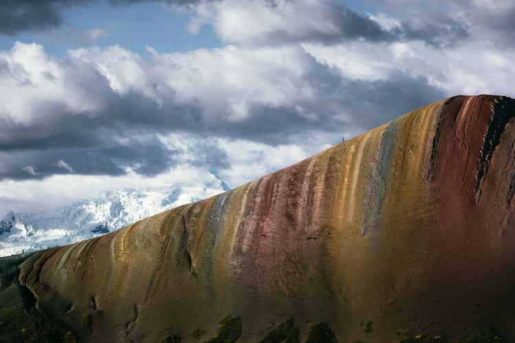
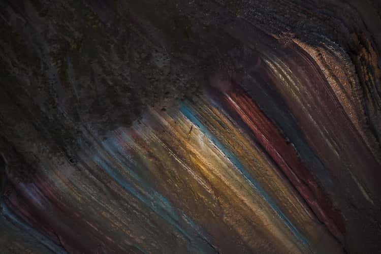
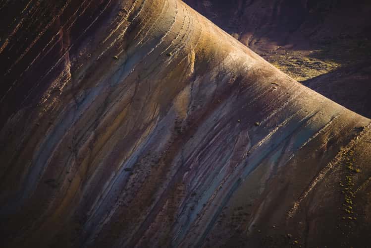
Unknown Rainbow Mountain near Palcoyo
137.11 km to location
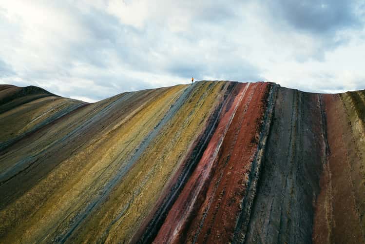
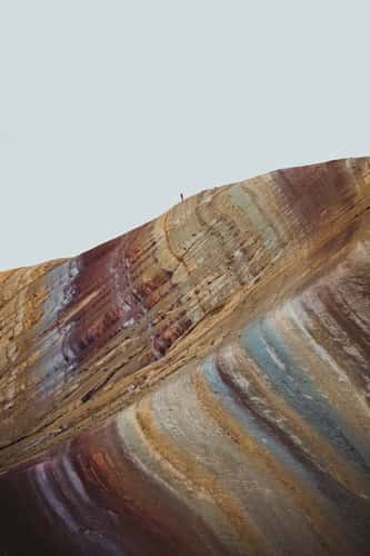
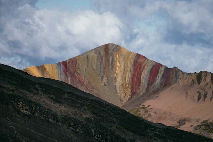
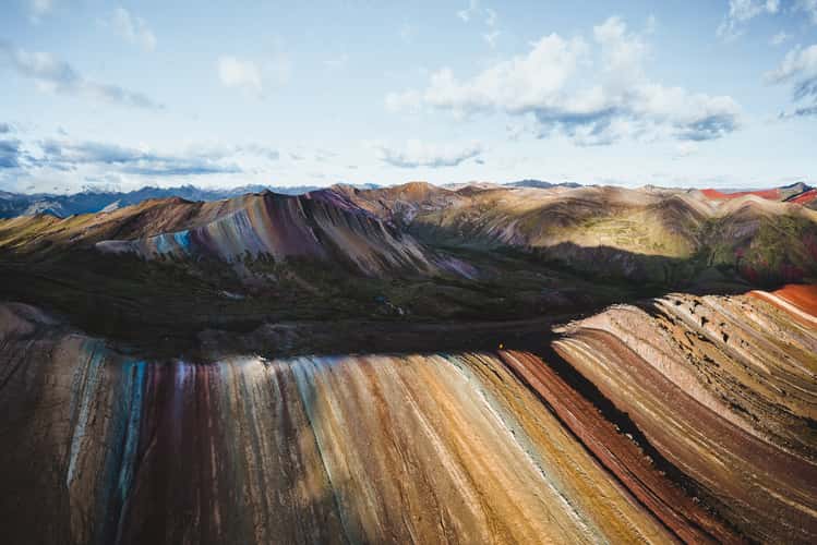
Palcoyo Rainbow Mountain
136.12 km to location
Mountain Range near Palcoyo
135.97 km to location
Mountain Range near Cordillera del Arcoiris Palcoyo
136.02 km to location
Palcoyo Rainbow Mountain
136.08 km to location
Mountain Range near Palcoyo
135.73 km to location
Palcoyo Rainbow Mountain
135.71 km to location
Mountain Range near Palccoyo
136.83 km to location
Palcoyo Rainbow Mountain
136.09 km to location

Mountain view near Inti Punku, Cusco Region
8.13 km to location
Inti Punku Sun Gate, Cusco Region
8.21 km to location
Qelloraqay Archeological Site, Ollantaytambo
5.03 km to location
Hiking trail to Inti Punku, Cusco Region
7.95 km to location
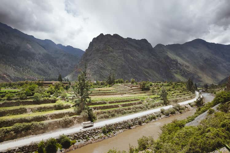
Valley view Ollantaytambo, Cusco Region
8.02 km to location
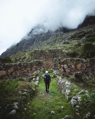
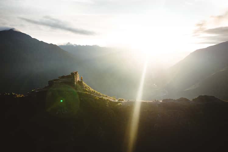
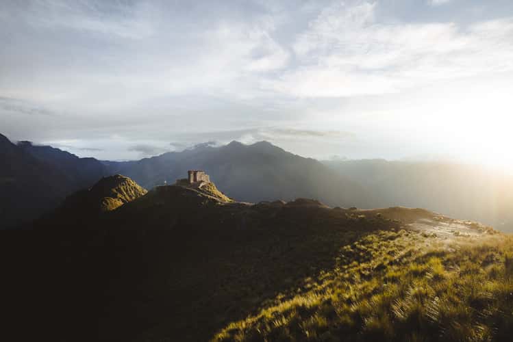
Inka Ruins near hiking trail to Inti Punku, Cusco Region
7.3 km to location
Hiking trail behind Inti Punku, Cusco Region
8.34 km to location
Inti Punku View to Mount Veronica, Cusco Region
8.15 km to location
Hiking Trail to Inti Punku, Cusco Region
8.05 km to location
Inti Punku Sun Gate, Cusco Region
8.18 km to location