65 photos in 32 spots
- Show
- all photos
- only best photo/spot
- Order by
- Popularity
- Newest
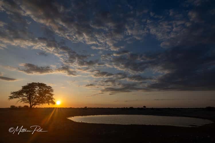
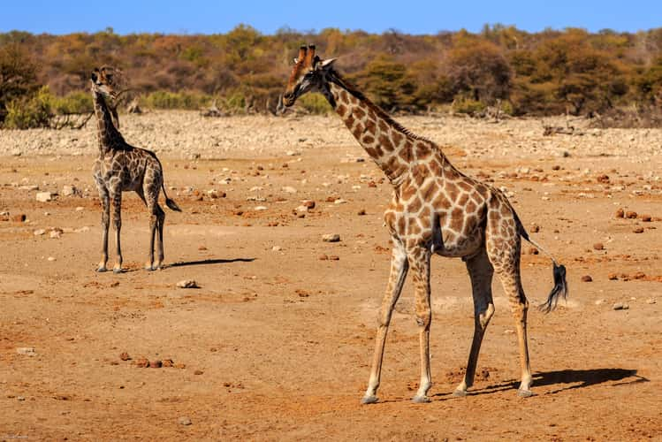
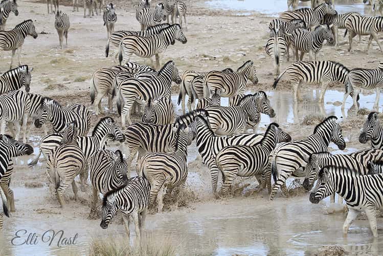
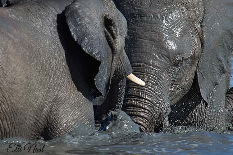
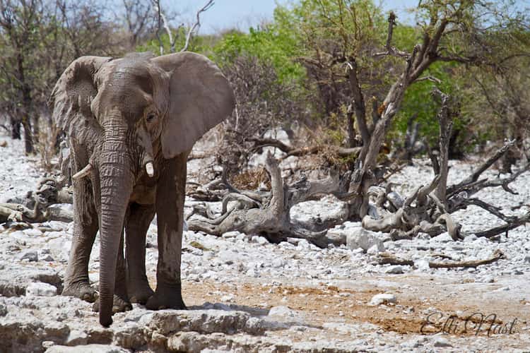
Waterhole at Okaukuejo Camp, Etosha National Park
21.02 km to location
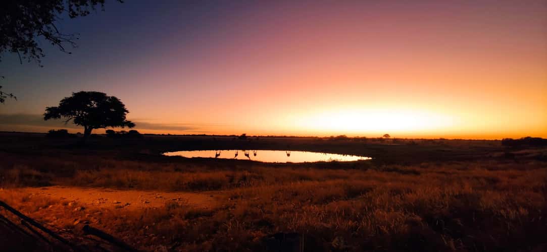
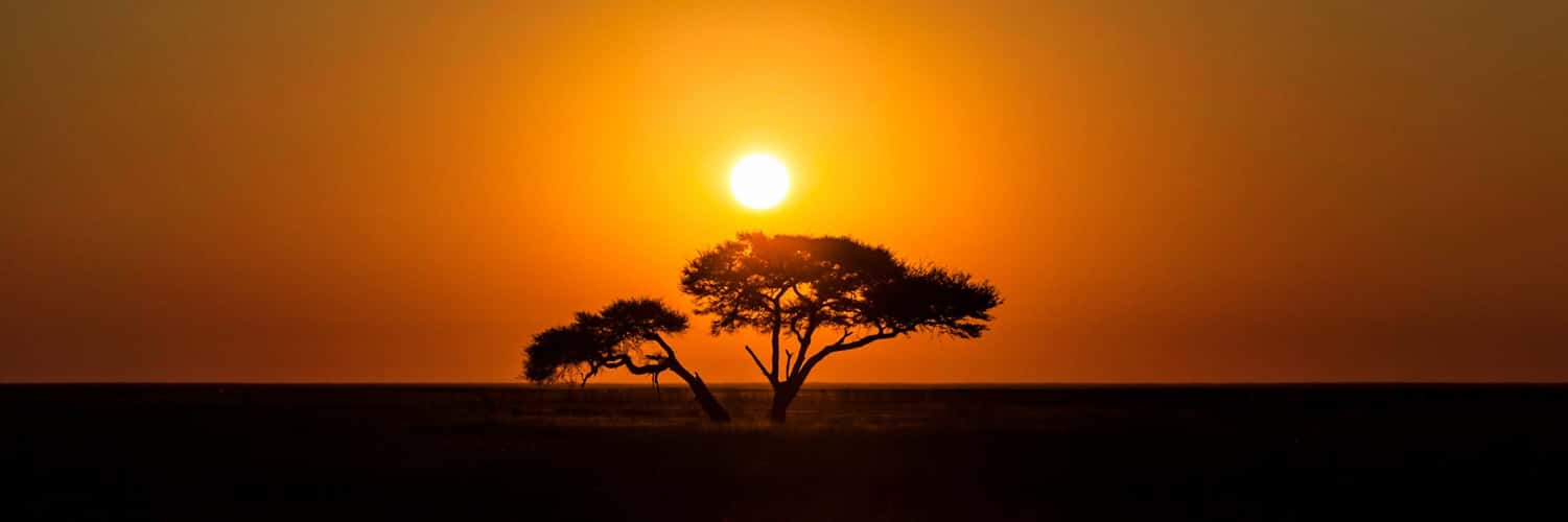
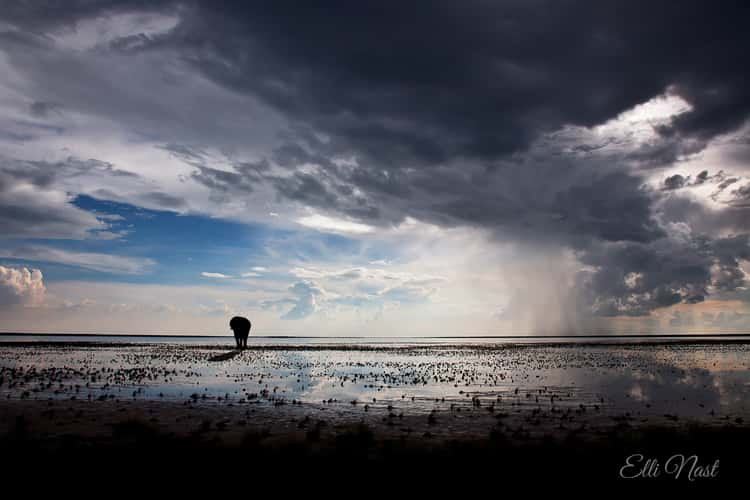
Sunset at Etosha National Park
35.39 km to location
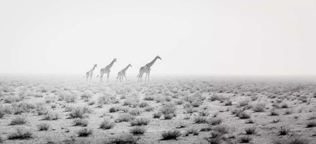
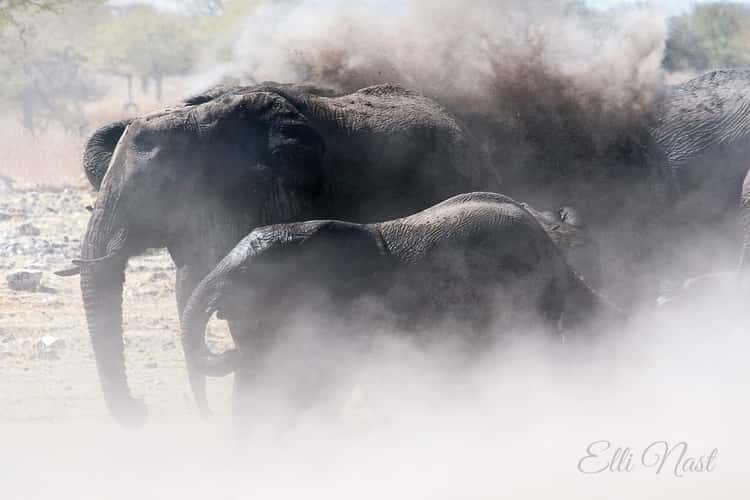
Sand Storm
19.96 km to location
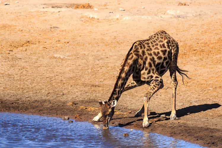
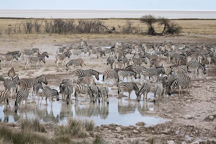
Waterhole at Okaukuejo Camp, Etosha National Park
21.02 km to location
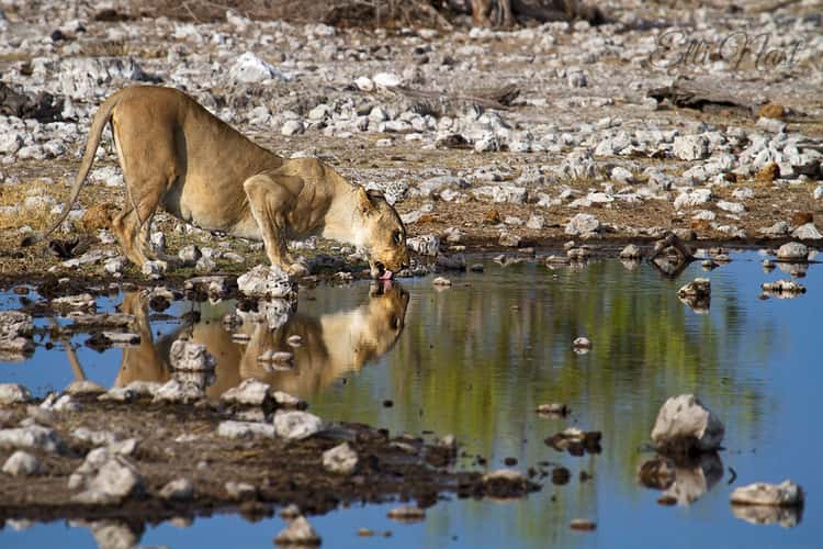
Chudop Waterhole
93.53 km to location
Chudop Waterhole
93.53 km to location
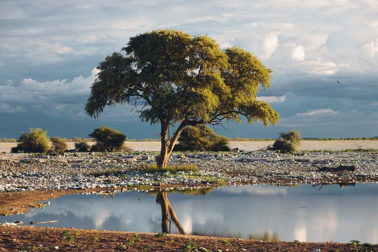
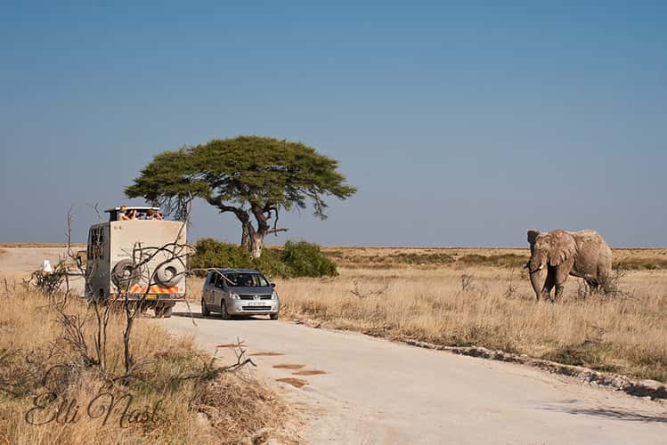
Acacia Tree north of Okaukuejo Camp, Etosha Pan, Namibia
19.99 km to location
Chartisaub
21.75 km to location
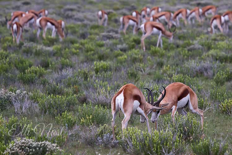
Savanna between Leeupan and m'Bari
42.37 km to location
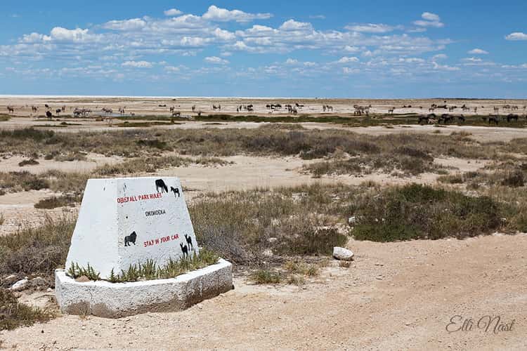
Okondeka
20.92 km to location
Salvadora
26.98 km to location
Salvadora
26.98 km to location
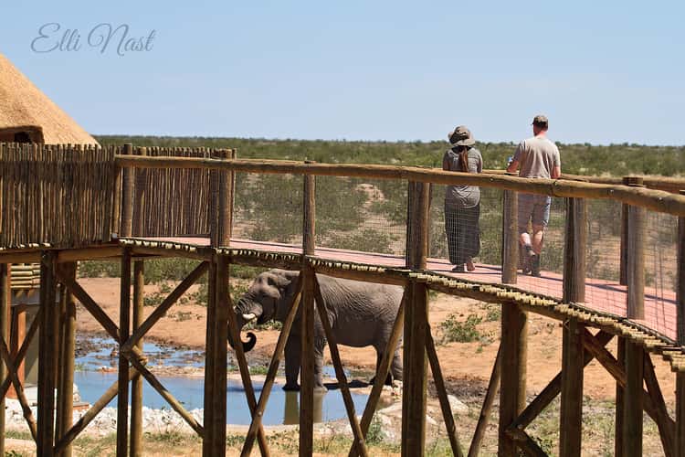
Olifantsrus Hide
126.13 km to location
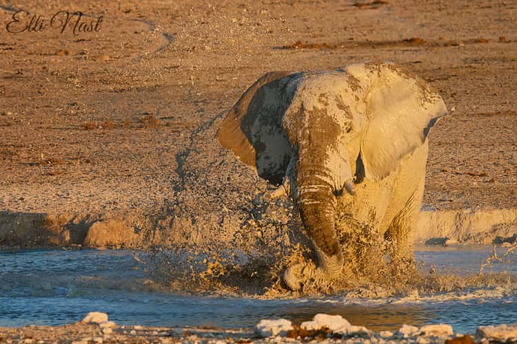
Olifantsrus Hide
126.13 km to location
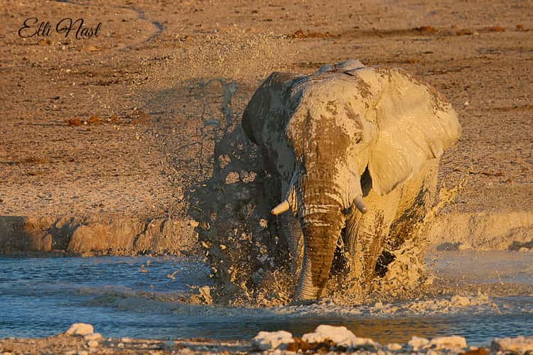
Olifantsrus Hide
126.13 km to location
Olifantsrus Hide
126.13 km to location
Olifantsrus Hide
126.13 km to location
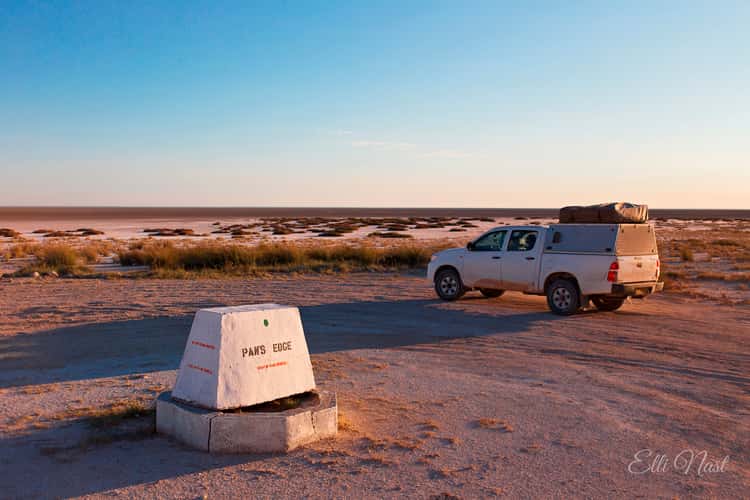
Pan's Edge
12.47 km to location
Fishers Pan Drive
107.03 km to location
Rietfontein
29.8 km to location
Rietfontein
29.8 km to location
Rietfontein
29.8 km to location
Dolomite Waterhole
166.41 km to location

Fort Namutoni
96.43 km to location
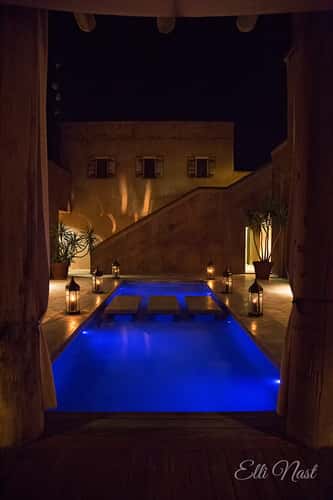
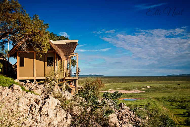
Onguma: The Fort
109.16 km to location

Onguma: The Fort
109.16 km to location

Onguma: The Fort
109.16 km to location
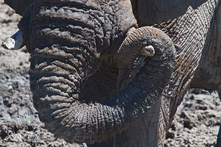
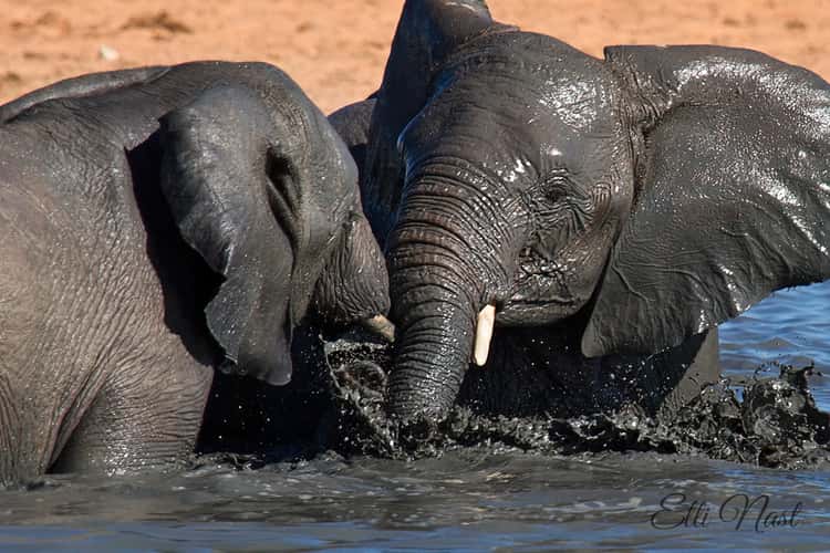
Olifantsrus Hide
126.13 km to location
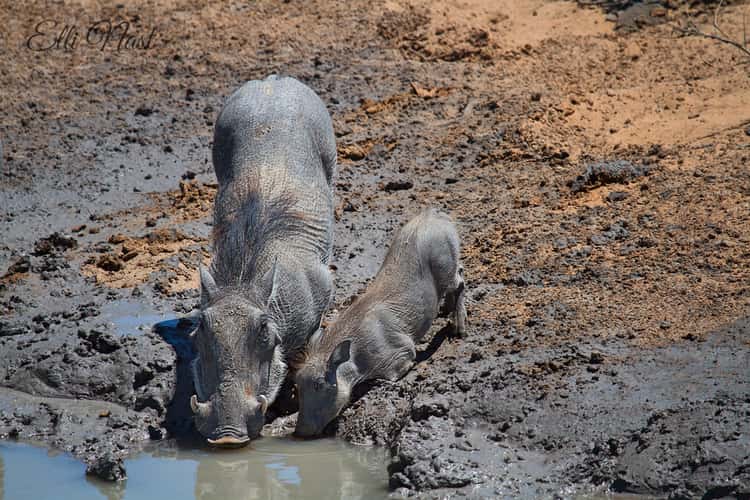
Nebrownii Waterhole, Etosha
14.45 km to location
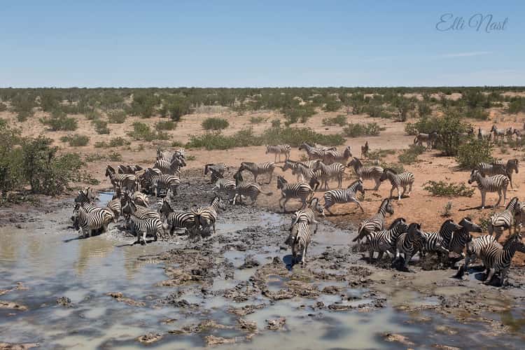
Nebrownii Waterhole, Etosha
14.45 km to location