96 photos in 60 spots
- Show
- all photos
- only best photo/spot
- Order by
- Popularity
- Newest
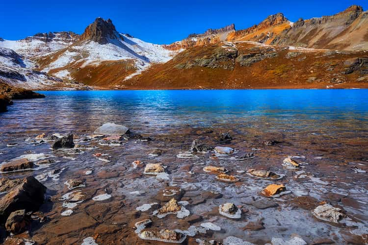
Ice Lake
1501.82 km to location
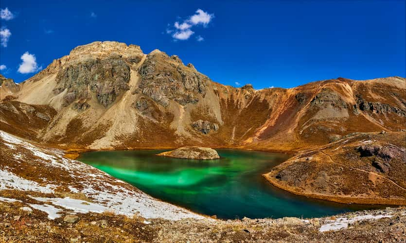
Island Lake
1501.53 km to location
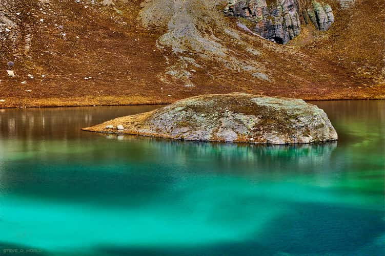
Island Lake
1501.53 km to location
Ice Lake
1501.82 km to location
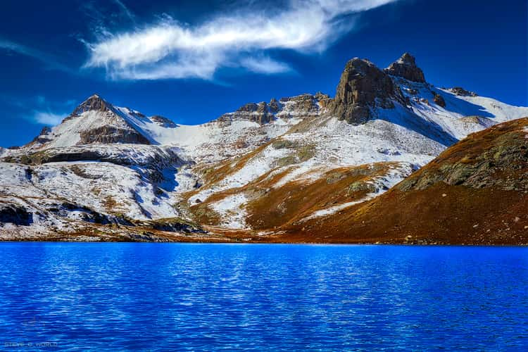
Ice Lake
1501.82 km to location
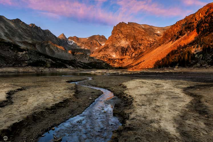
Lake Isabelle
1350.11 km to location
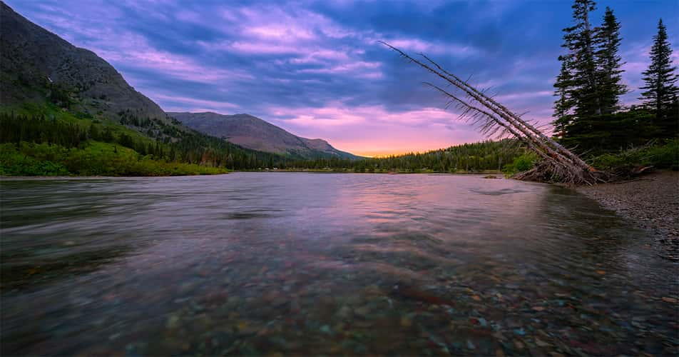
Framed Sinopah
234.49 km to location
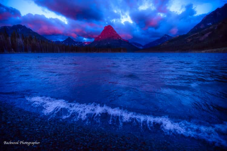
Framed Sinopah
234.49 km to location
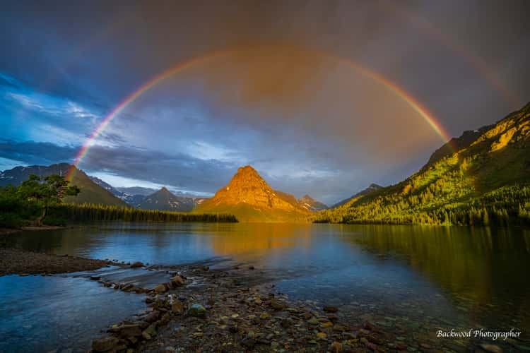
Framed Sinopah
234.49 km to location
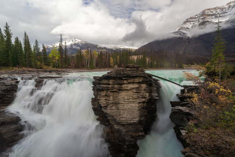
Athabasca Falls
331.4 km to location
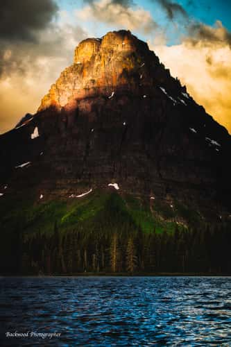
Framed Sinopah
234.49 km to location
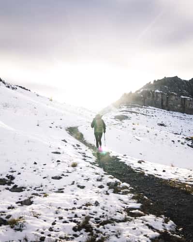
Smutwood Peak, Upper Trail
61.9 km to location
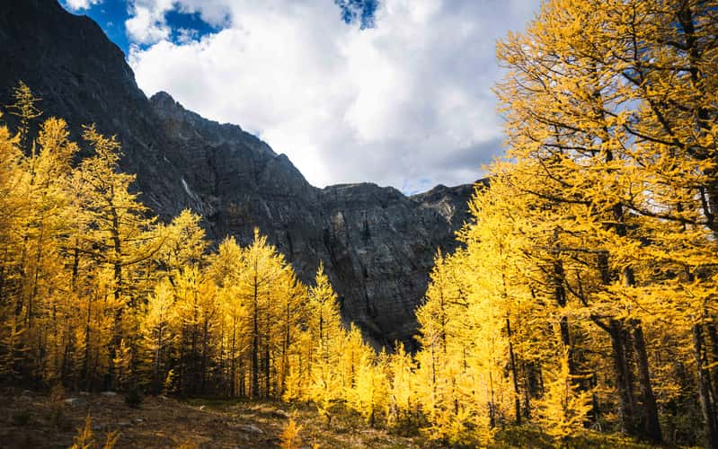
Arnica Lake Larch Plateau
125.4 km to location
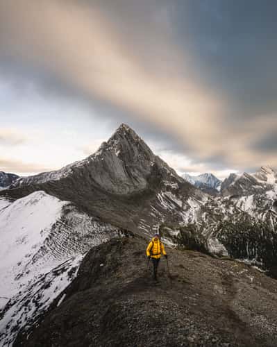
Mount Smutwood Summit Ridge
62.37 km to location
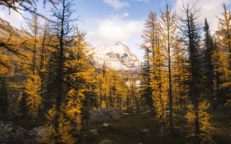
Larch Tree Valley, Lake O´hara
151.58 km to location
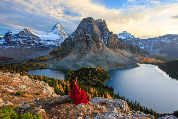
The Niblet, Rock Viewpoint, Mt. Assiniboine
84.25 km to location
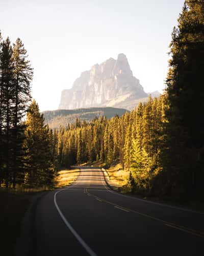
Bow Valley Parkway
124.71 km to location
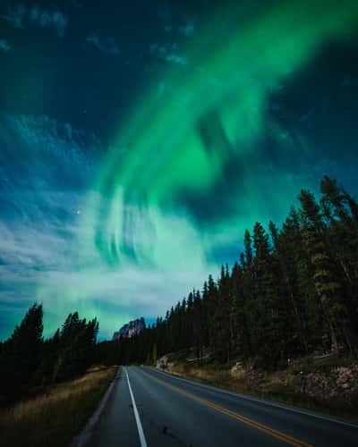
Bow Valley Parkway
124.71 km to location
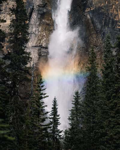
Takakkaw Falls, Hike
170.79 km to location
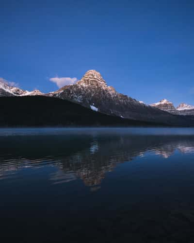
Lower Waterfowl Lake
207.17 km to location
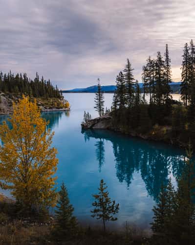
Abraham Cove Campsite, Abraham Lake
238.89 km to location
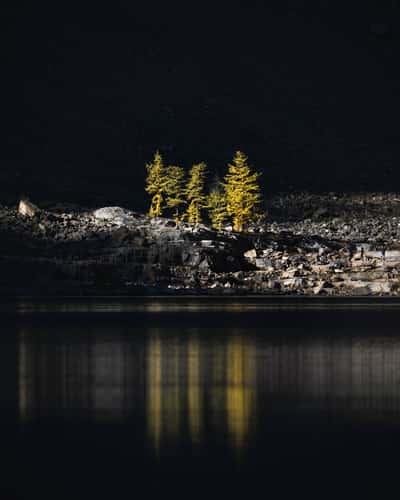
Lake Agnes, Northern Shoreline
153.3 km to location
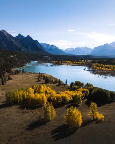
Abraham Lake, Northern Shore
220.47 km to location
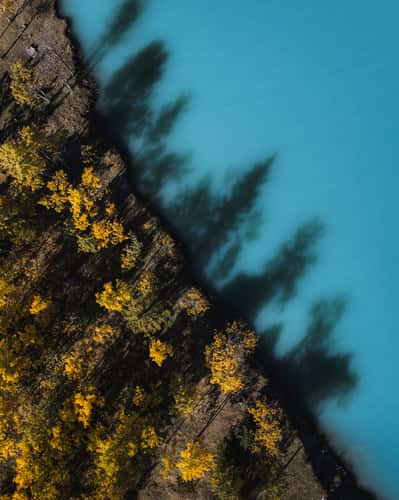
Submerged Forest, Abraham Lake
219.7 km to location
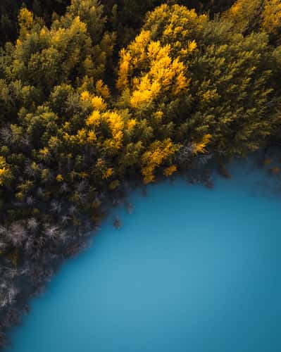
Submerged Forest, Abraham Lake
219.7 km to location
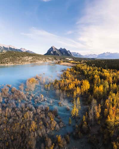
Preachers Point Rustic Camping Area, Abraham Lake
220.06 km to location
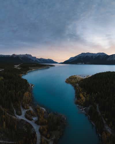
Cline River View, Abraham Lake
230.89 km to location
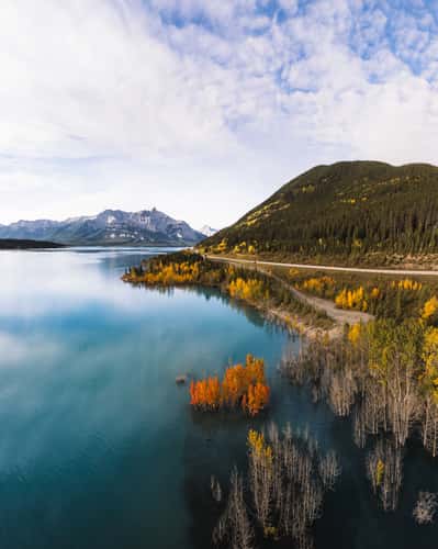
David Thompson Highway, Abraham Lake
238.34 km to location
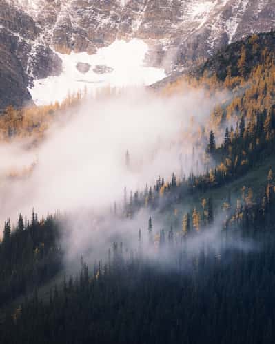
Lake Louise Mountain View, from Town
150.98 km to location
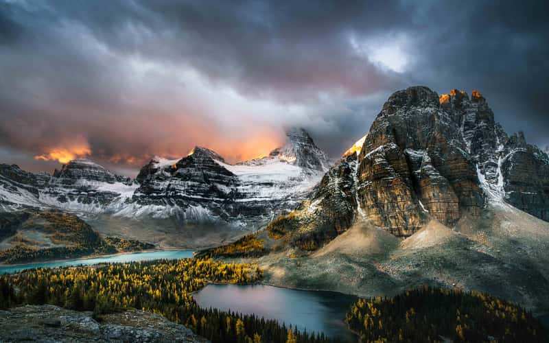
The Niblet, Rock Viewpoint, Mt. Assiniboine
84.25 km to location
