83 photos in 57 spots
- Show
- all photos
- only best photo/spot
- Order by
- Popularity
- Newest
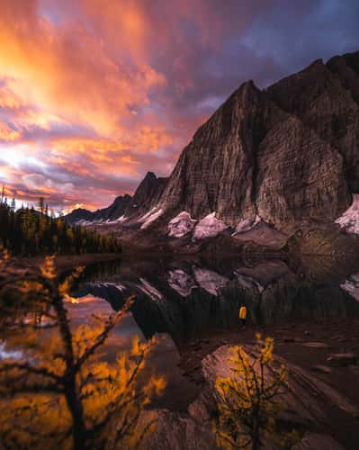
Emerald Pond
1722.77 km to location
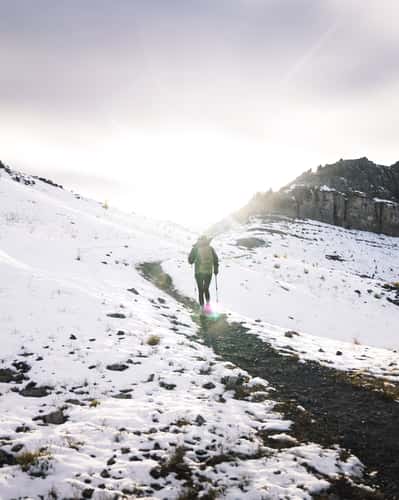
Smutwood Peak, Upper Trail
1542.42 km to location
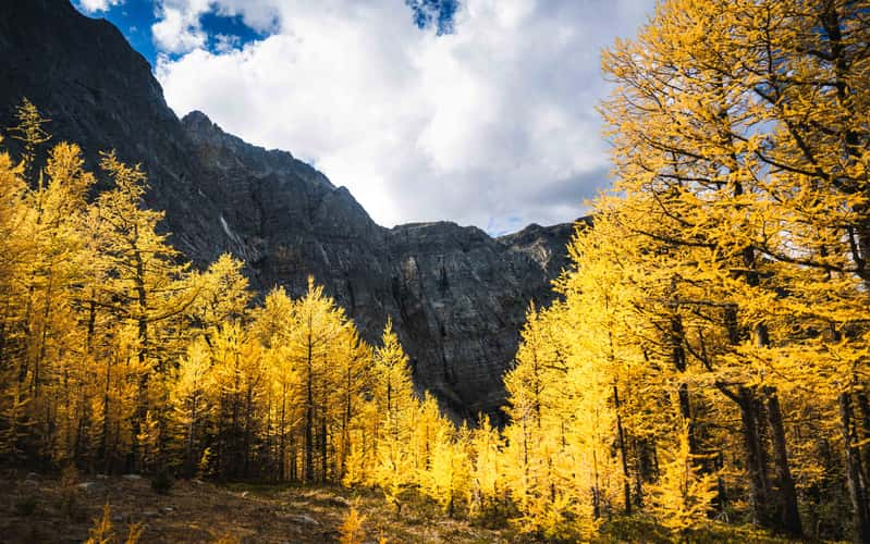
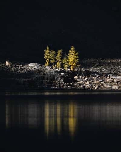
Arnica Lake Larch Plateau
1570.27 km to location
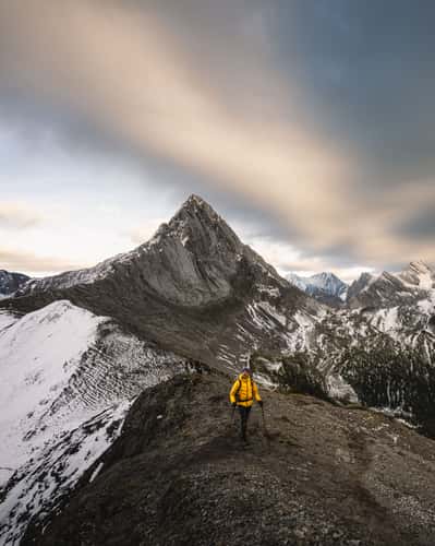
Mount Smutwood Summit Ridge
1542.41 km to location
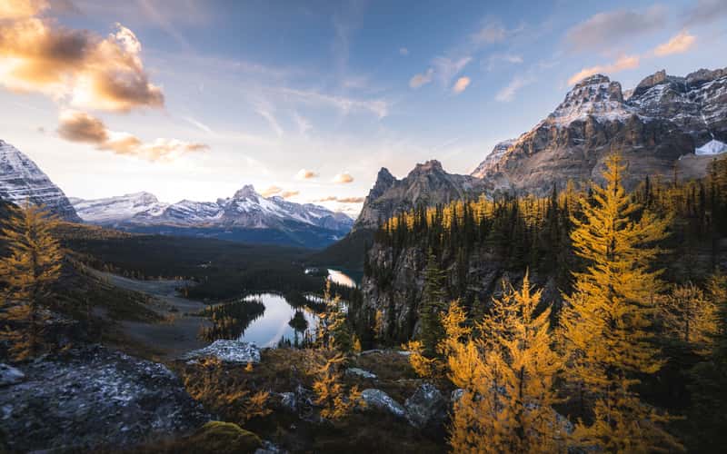
Larch Tree Valley, Lake O´hara
1575.04 km to location
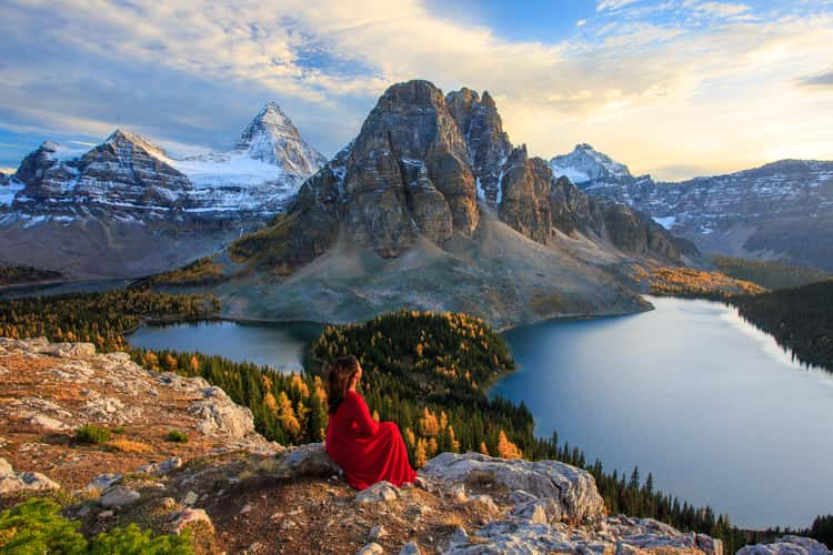
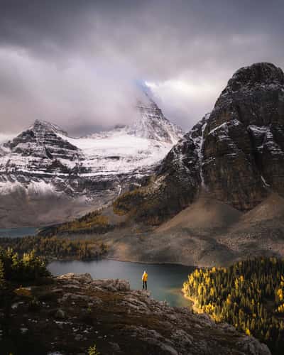
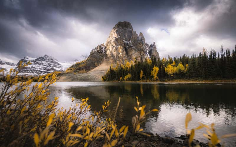
The Niblet, Rock Viewpoint, Mt. Assiniboine
1547.7 km to location
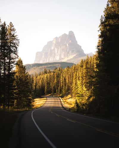
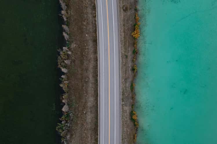
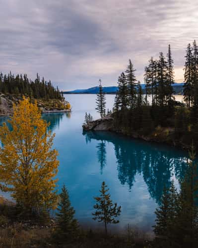
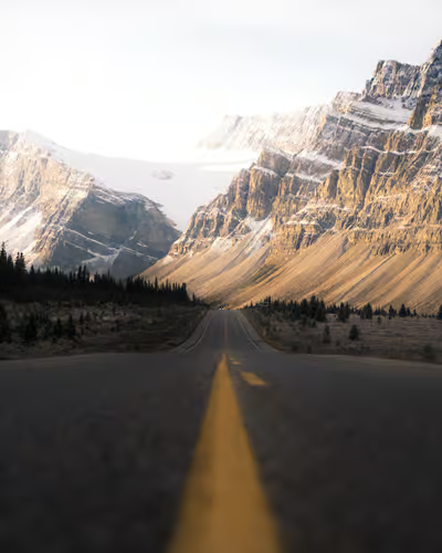
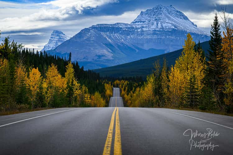
Bow Valley Parkway
1576.73 km to location
Bow Valley Parkway
1576.73 km to location
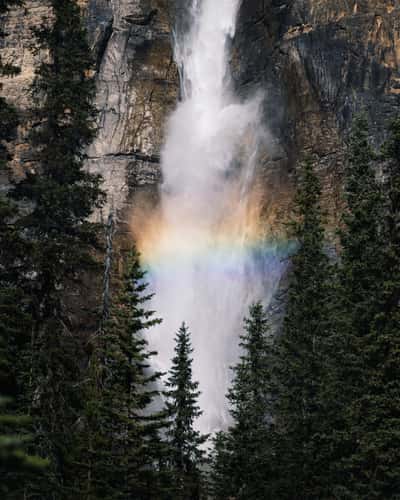
Takakkaw Falls, Hike
1587.12 km to location
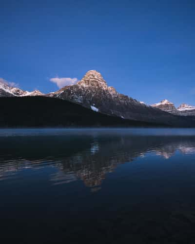
Lower Waterfowl Lake
1621.04 km to location
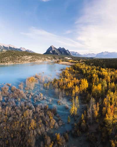
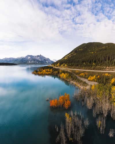
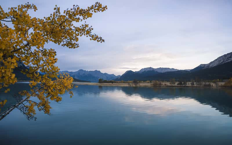
Abraham Cove Campsite, Abraham Lake
1672.93 km to location
Lake Agnes, Northern Shoreline
1584.23 km to location
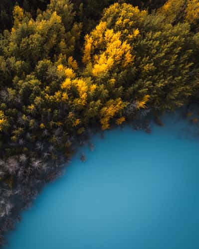
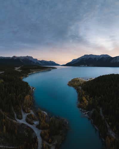
Abraham Lake, Northern Shore
1651.03 km to location
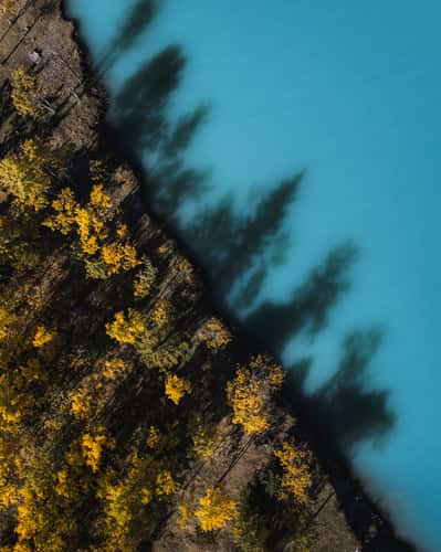
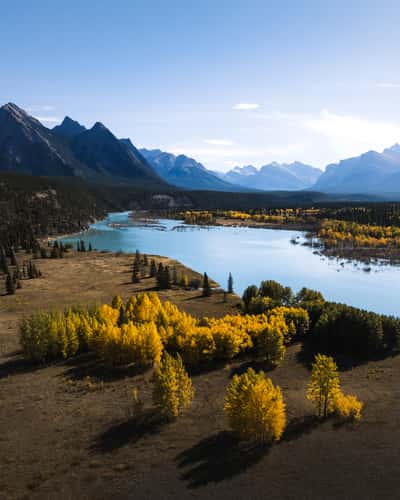
Submerged Forest, Abraham Lake
1650.3 km to location
Submerged Forest, Abraham Lake
1650.3 km to location
Preachers Point Rustic Camping Area, Abraham Lake
1650.54 km to location
Cline River View, Abraham Lake
1658.17 km to location
David Thompson Highway, Abraham Lake
1672.33 km to location
Lake Louise Mountain View, from Town
1586.85 km to location
The Niblet, Rock Viewpoint, Mt. Assiniboine
1547.7 km to location
The Niblet, Northern Viewpoint
1547.83 km to location
Tent Ridge Horseshoe, Hike
1547.15 km to location
Tent Ridge Horseshoe, Kananaskis Country
1547.17 km to location
Icefield Parkway, Southern Direction to Bow Lake
1609.19 km to location
Preachers Point Rustic Camping Area, Abraham Lake
1650.59 km to location
Banff National Park
1633.84 km to location
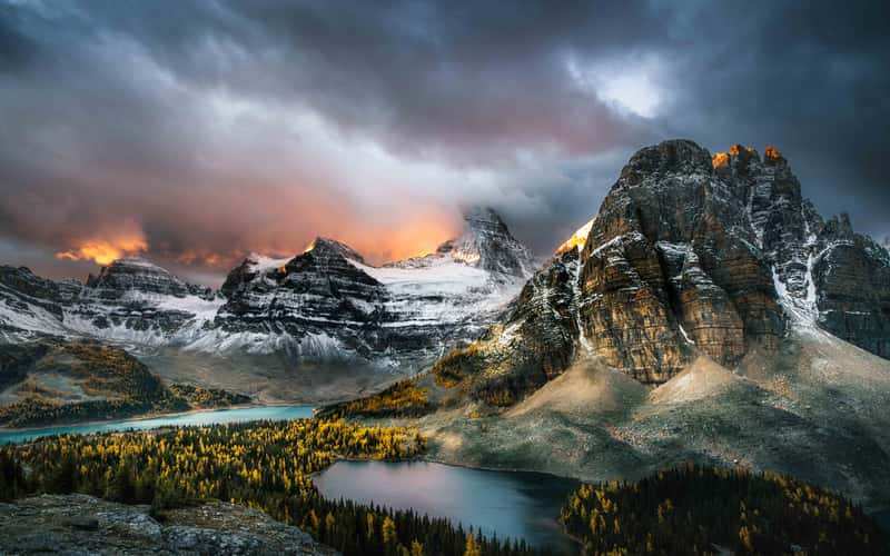
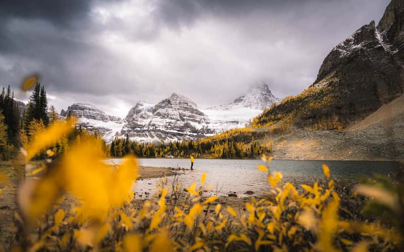
Sunburst Lake Northern Shore, Mount Assiniboine
1547.25 km to location
Sunburst Lake, Mount Assiniboine
1547.17 km to location
Lake O´hara Alpine Plateau
1574.84 km to location
Floe Lake, First Lakeshore
1549.22 km to location